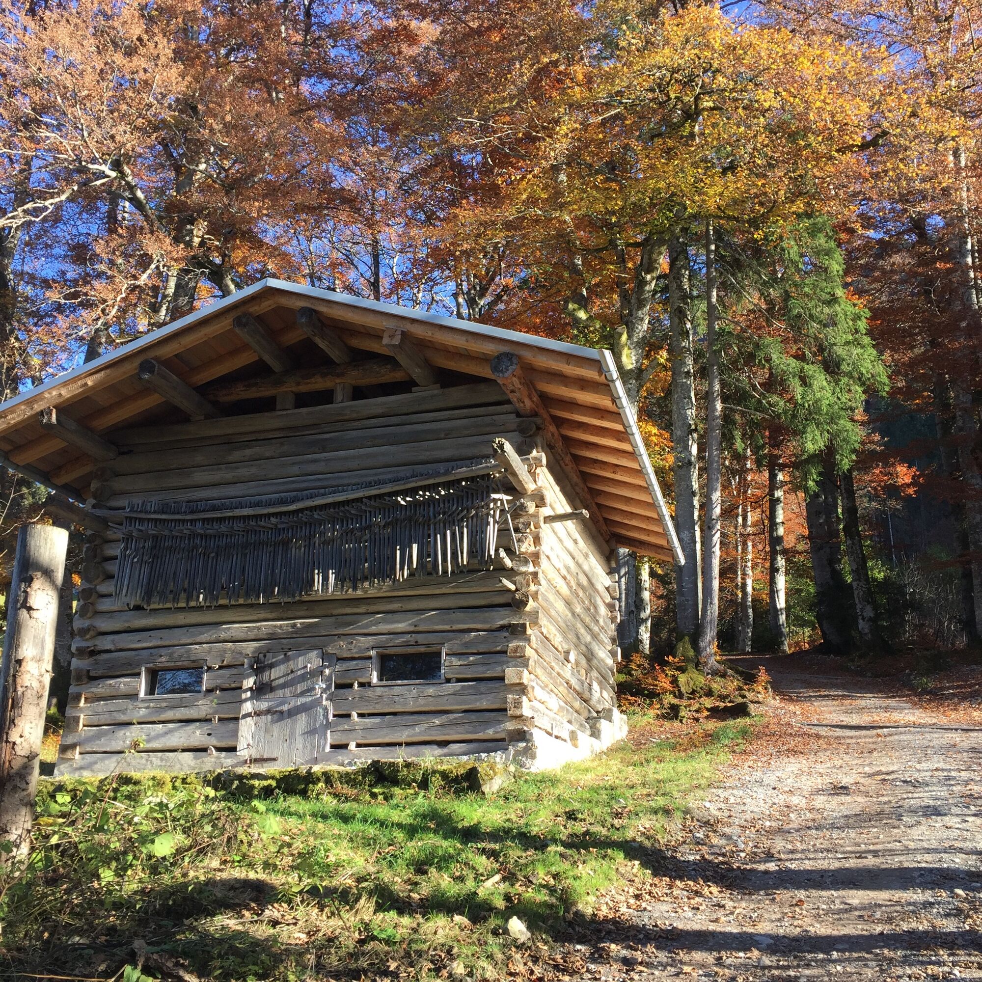
© Kleinwalsertal Tourismus eGen | Fotograf: Steffen Berschin

© Kleinwalsertal Tourismus eGen

© Kleinwalsertal Tourismus eGen

© Kleinwalsertal Tourismus eGen

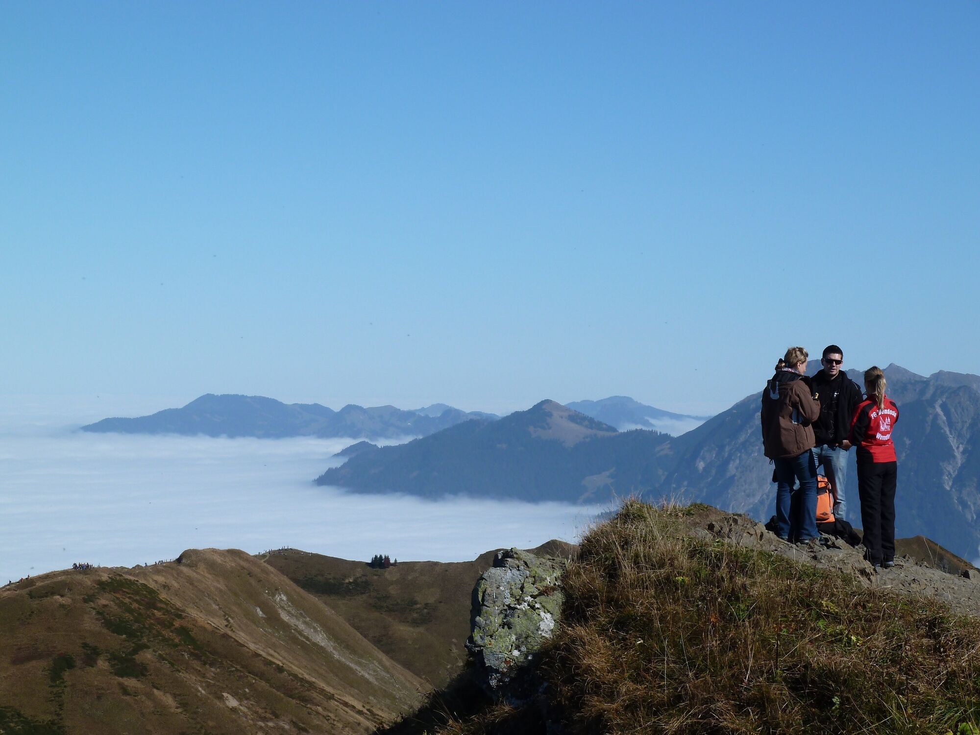
© Outdooractive Premium - Hartmut Wimmer

© Outdooractive Premium - Hartmut Wimmer

© Outdooractive Premium - Hartmut Wimmer

© Outdooractive Premium - Hartmut Wimmer

© Outdooractive Premium - Hartmut Wimmer

© Outdooractive Premium - Hartmut Wimmer

- Brève description
-
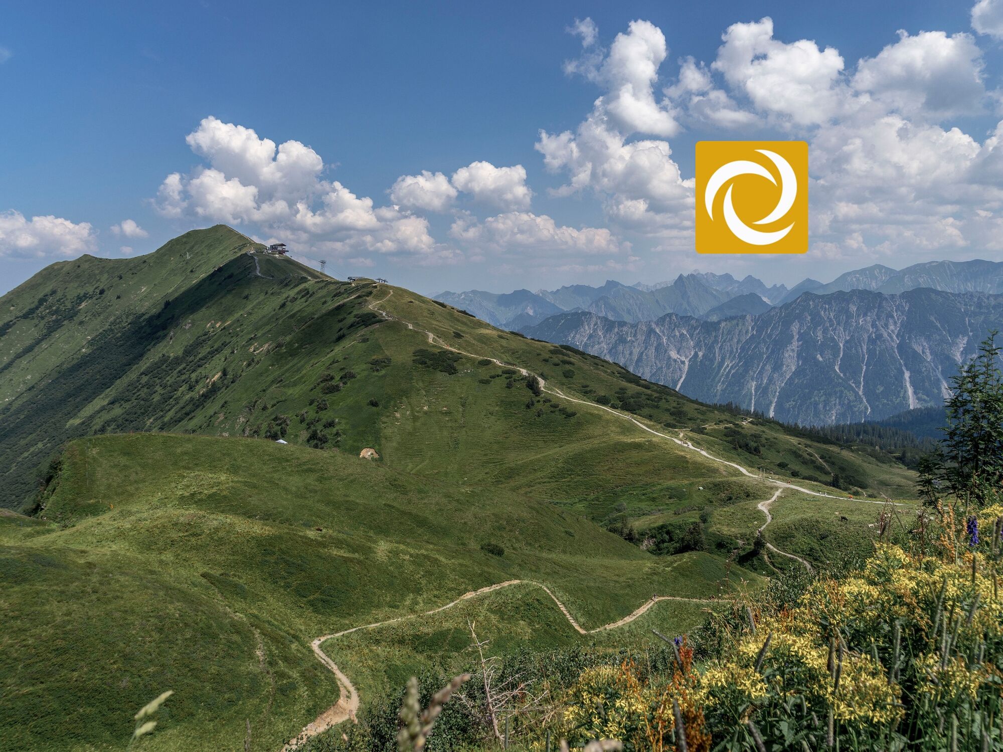
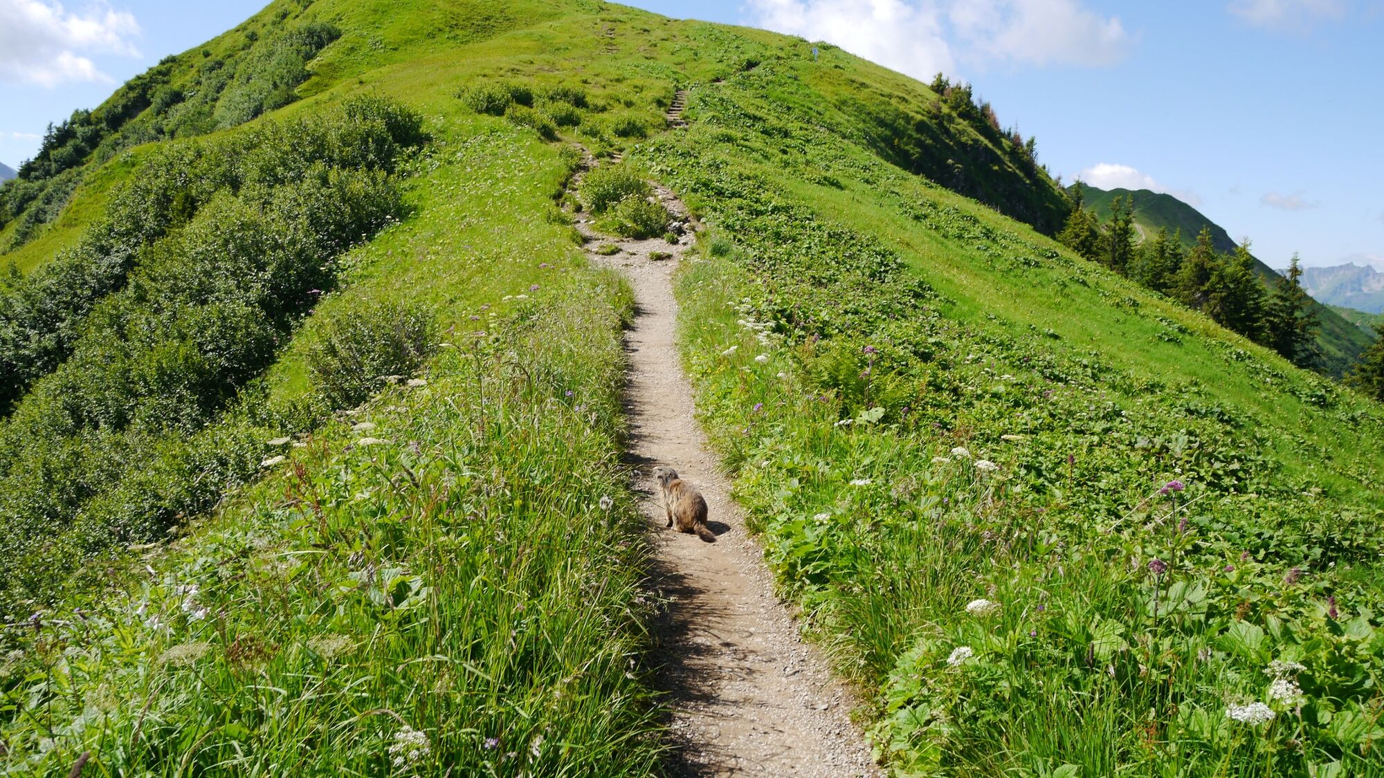
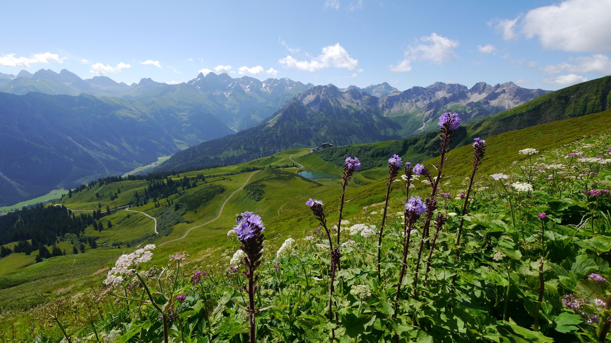
Walser Omgang hike - recognize your limits. An activating / balancing half-day tour.
- Difficulté
-
difficile
- Évaluation
-
- Parcours
-
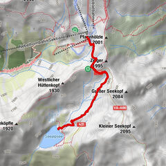
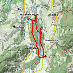
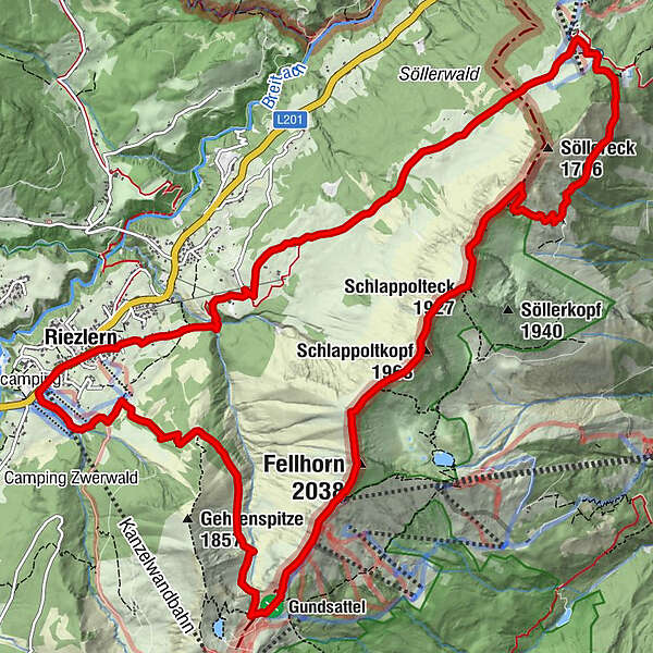
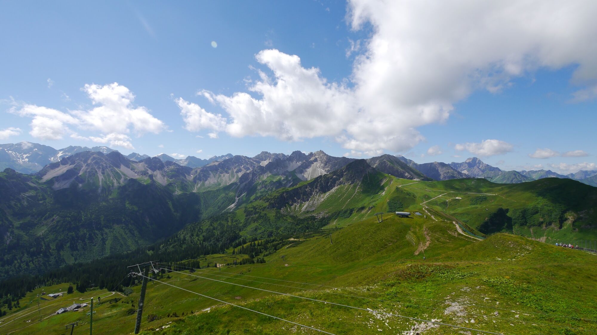
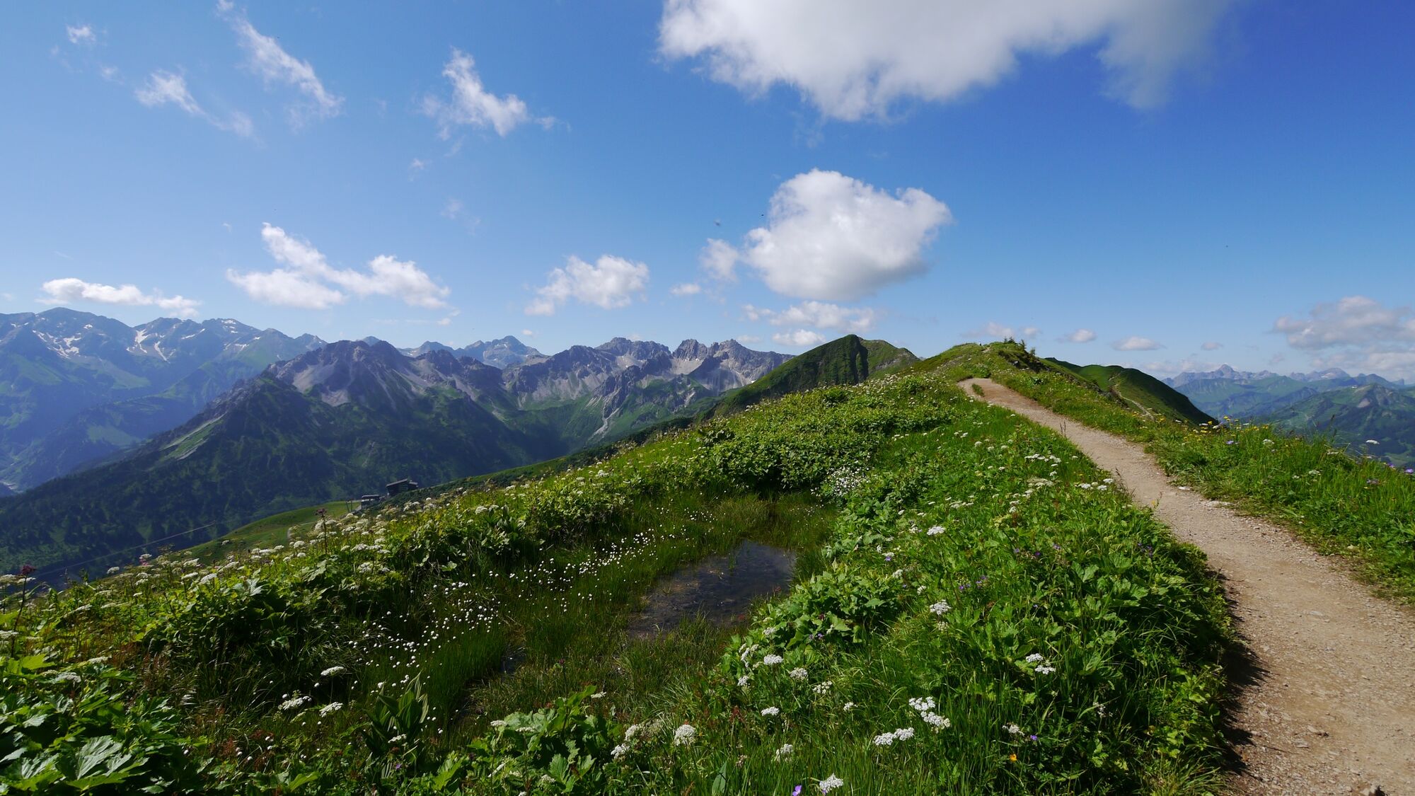
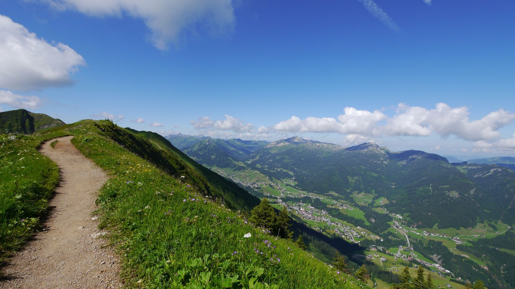
Kesslerlift (1.200 m)0,6 kmRiezleralpe1,8 kmFellhorn Gipfelstation (1.967 m)5,0 kmFellhorn (2.038 m)5,3 kmSchlappoltkopf (1.968 m)6,5 kmSchlappolteck (1.927 m)7,2 kmBerghaus am Söller10,9 kmKapelle Hl. Wendelin12,6 kmMittelalp13,7 kmAlpkreuz13,9 kmBergstüble14,8 kmWestegg15,7 kmRiezlern (1.086 m)16,4 kmPfarrkirche Mariä Opferung16,4 km
- Meilleure saison
-
janv.févr.marsavrilmaijuinjuil.aoûtsept.oct.nov.déc.
- Hauteur maximale
- 2.031 m
- Point de mire
-
Riezlern
- Profil en hauteur
-

- Auteur
-
La randonnée Fellhorngrat circuit over the Söllereck est utilisé par outdooractive.com fourni par.
GPS Downloads


Informations générales
Point de rassemblement
Prometteur
Autres parcours dans les régions