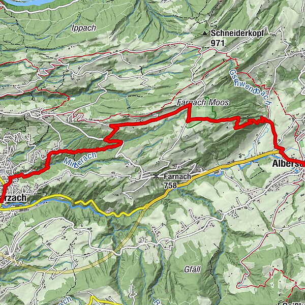
Naturtour: Schwarzach - Farnach Moos - Alberschwende

Randonnée

© Bodensee-Vorarlberg Tourismus GmbH - Bodensee-Vorarlberg Tourismus

© Bodensee-Vorarlberg Tourismus GmbH - Bodensee-Vorarlberg Tourismus

© Bodensee-Vorarlberg Tourismus GmbH - Bodensee-Vorarlberg Tourismus

© Bodensee-Vorarlberg Tourismus GmbH - Bodensee-Vorarlberg Tourismus

© Bodensee-Vorarlberg Tourismus GmbH - Bodensee-Vorarlberg Tourismus

© Bodensee-Vorarlberg Tourismus GmbH - Bodensee-Vorarlberg Tourismus

© Bodensee-Vorarlberg Tourismus GmbH - Bodensee-Vorarlberg Tourismus

- Brève description
-
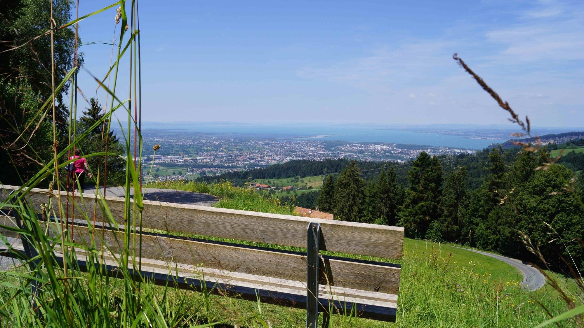
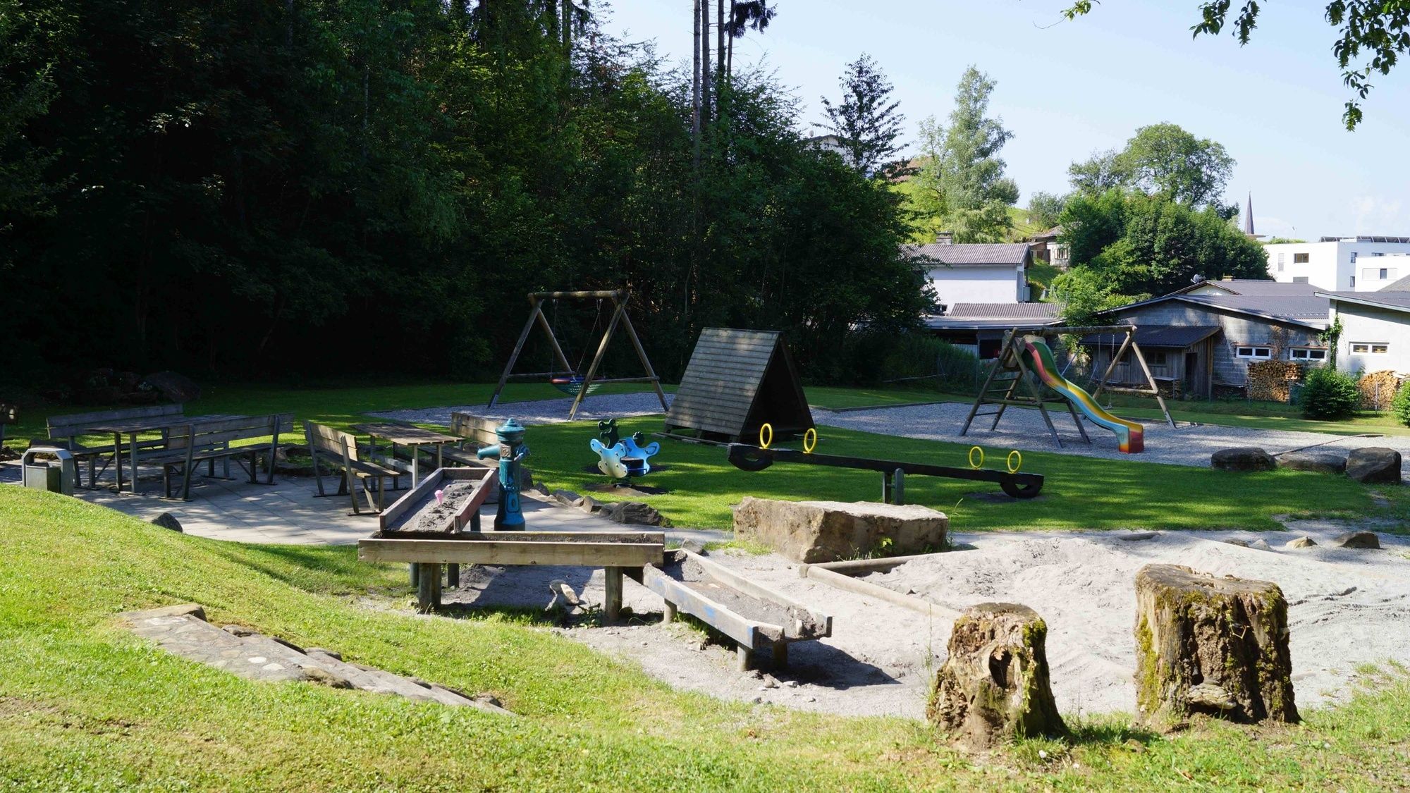
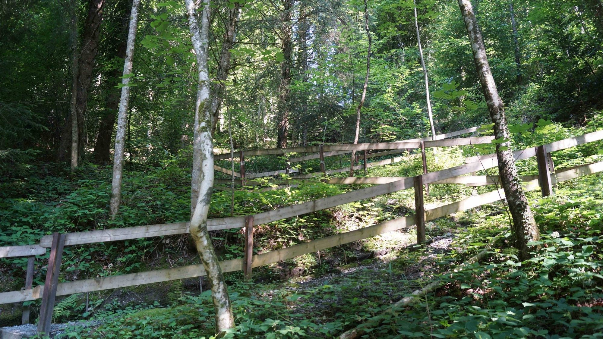
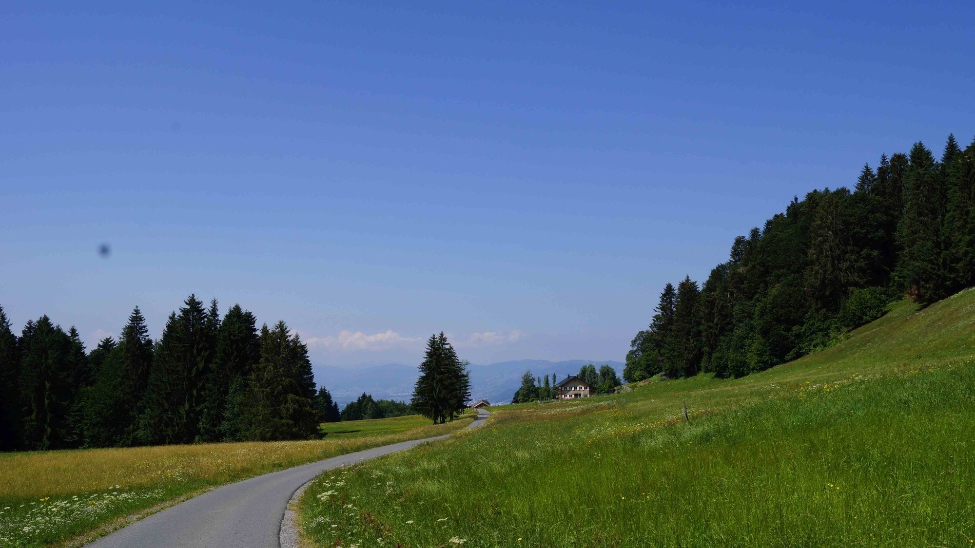
A half-day hike from Schwarzach to Alberschwende with a stop at the Farnach-Moos nature reserve. This route is particularly suitable for families as there are several child-friendly stations along the way. The route leads past the ‘Ülatobel’ forest playground right at the start and later to a book box and benches where it’s great to enjoy a snack and the great view.
- Difficulté
-
moyen
- Évaluation
-
- Parcours
-
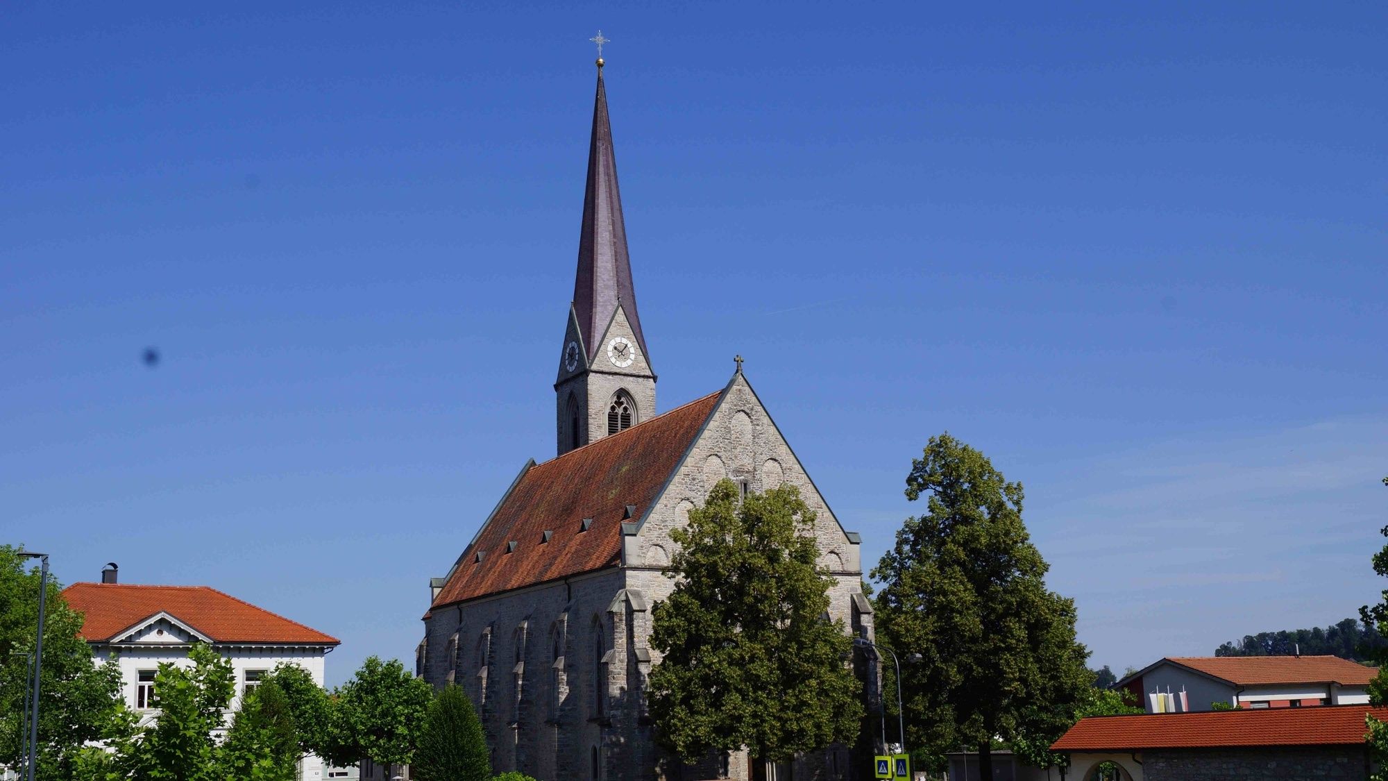
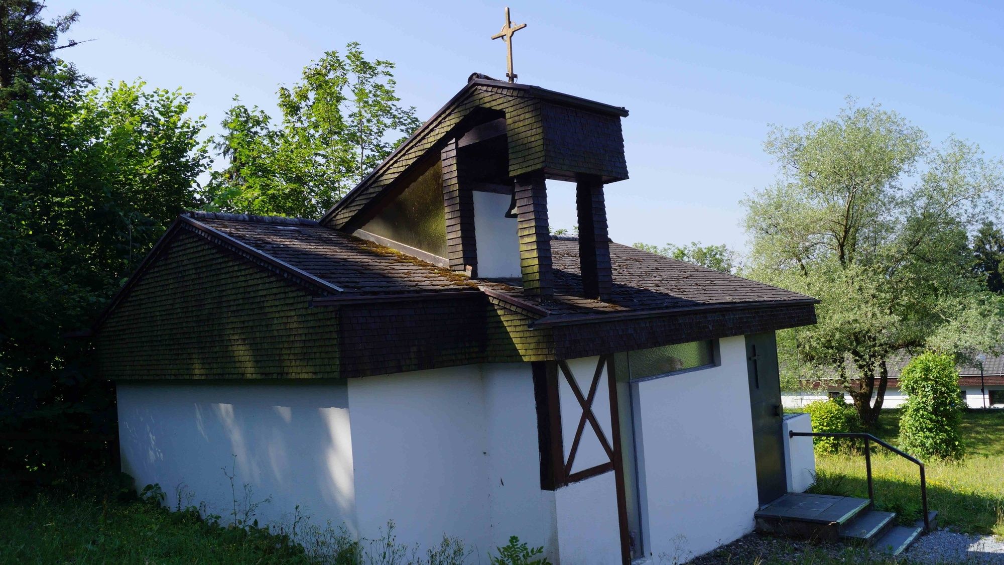
Dornbirn (437 m)Schwarzach0,0 kmHl. Sebastian0,0 kmMr. Lianghua Qiu0,1 kmHofsteiger0,1 kmKapelle Hl. Georg1,6 kmRohnen7,6 kmPfarrkirche Hl. Martin Alberschwende8,2 kmWirtshaus zur Taube8,4 kmHof8,4 kmAlberschwende8,4 km
- Meilleure saison
-
janv.févr.marsavrilmaijuinjuil.aoûtsept.oct.nov.déc.
- Hauteur maximale
- 888 m
- Point de mire
-
Dorfplatz Alberschwende
- Profil en hauteur
-


-

-
AuteurLa randonnée Naturtour: Schwarzach - Farnach Moos - Alberschwende est utilisé par outdooractive.com fourni par.
GPS Downloads


Informations générales
Point de rassemblement
Culturel/Historiquement
Flore
Prometteur
Autres parcours dans les régions
-
St. Gallen - Bodensee
2067
-
Bodensee - Vorarlberg
1317
-
Bildstein
438


