Alphüttenwanderung Damüls-Mellau-Faschina - Teil 1

Randonnée


- Brève description
-
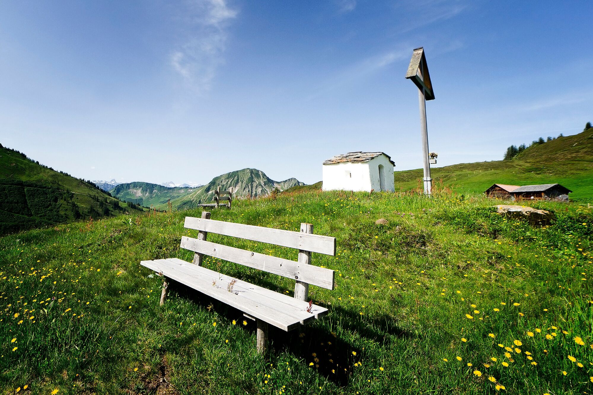
Kirchdorf Damüls - Alpe Oberdamüls - Stofel Kapelle - Alpe Unterdamüls - Türtschalpe
- Difficulté
-
moyen
- Évaluation
-
- Parcours
-
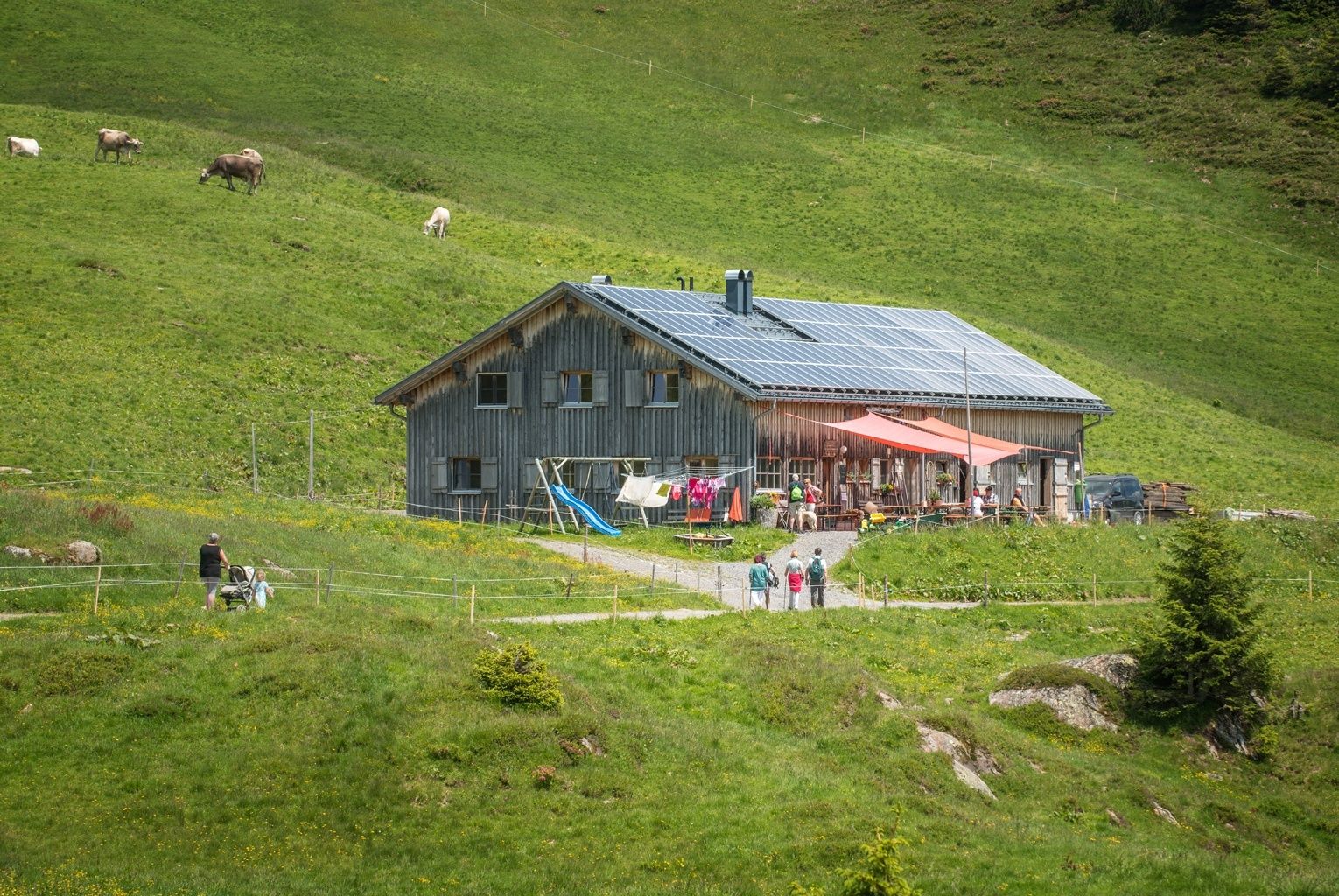
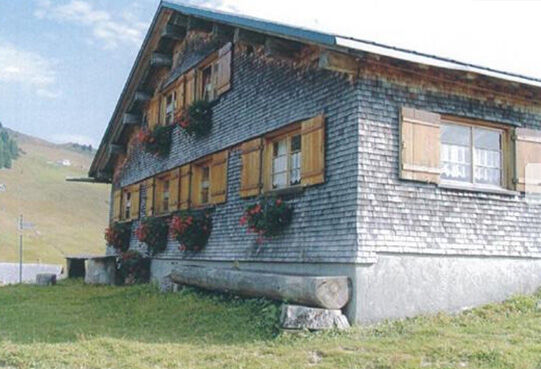
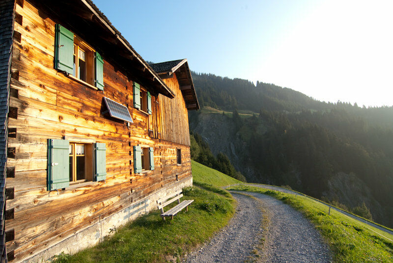
Damüls (1.423 m)0,1 kmPfarrkirche Hl. Nikolaus0,1 kmAlpe Oberdamüls1,9 kmStofel2,1 kmHotel Alpengasthof Jägerstüble3,3 kmAlpe Unterdamüls4,8 kmTürtschalpe8,3 kmGadastatt10,6 kmPfarrkirche Hl. Sebastian13,6 kmFontanella (1.145 m)13,6 km
- Meilleure saison
-
janv.févr.marsavrilmaijuinjuil.aoûtsept.oct.nov.déc.
- Hauteur maximale
- 1.699 m
- Point de mire
-
Fontanella
- Profil en hauteur
-

-

-
AuteurLa randonnée Alphüttenwanderung Damüls-Mellau-Faschina - Teil 1 est utilisé par outdooractive.com fourni par.
GPS Downloads


Informations générales
Point de rassemblement
Prometteur
Autres parcours dans les régions
-
St. Gallen - Bodensee
2066
-
Biosphärenpark Großes Walsertal
2006
-
Damüls
576


