

© Alpenregion Bludenz Tourismus GmbH - Dajana Baumgartner

© Alpenregion Bludenz Tourismus GmbH - Dajana Baumgartner

© Alpenregion Bludenz Tourismus GmbH - Dajana Baumgartner

© Alpenregion Bludenz Tourismus GmbH - Dajana Baumgartner

© Vorarlberg Tourismus GmbH
- Brève description
-
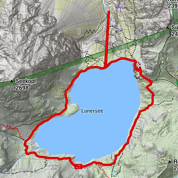
The Lünersee circular trail is the ideal hike for families and offers fantastic views of the Lünersee and the Rätikon mountains.
- Difficulté
-
facile
- Évaluation
-
- Parcours
-
Lünerseebahn Bergstation0,8 kmDouglasshütte0,9 kmLünersee Alpe3,7 kmLünerseebahn Bergstation7,0 kmDouglasshütte7,0 kmLünerseebahn Talstation7,8 km
- Meilleure saison
-
janv.févr.marsavrilmaijuinjuil.aoûtsept.oct.nov.déc.
- Hauteur maximale
- 2.066 m
- Point de mire
-
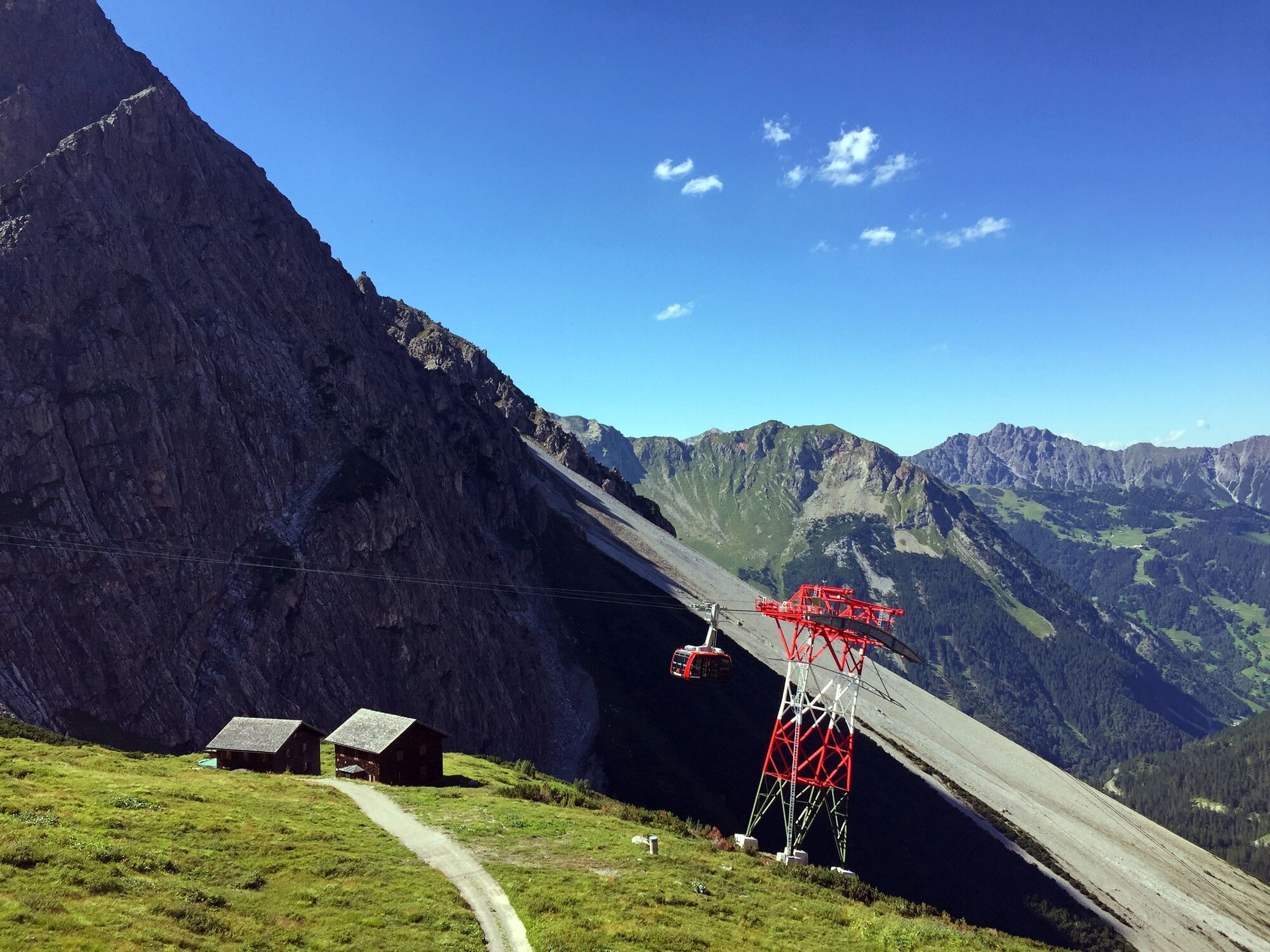
Lünersee cable car valley station, Brand
- Profil en hauteur
-


- Auteur
-
La randonnée Lünersee circular trail | Brand est utilisé par outdooractive.com fourni par.
GPS Downloads


Informations générales
Point de rassemblement
Prometteur
Autres parcours dans les régions
-
Heidiland
2201
-
Brandnertal
1568
-
Brand
431


