

- Brève description
-
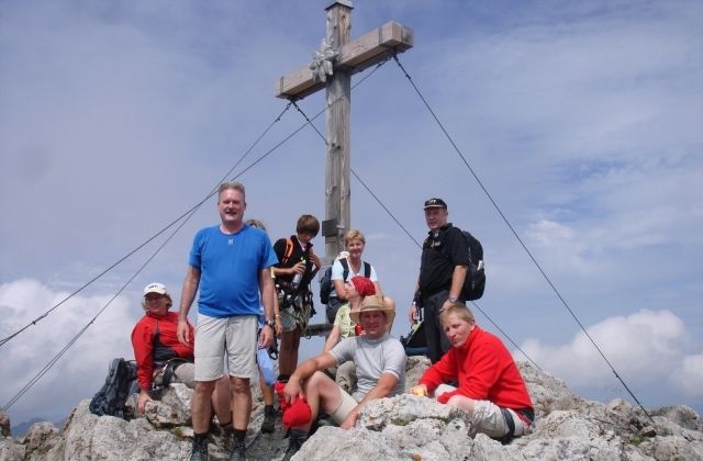
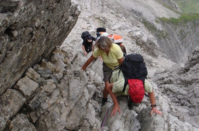
Der Biberkopf ist der südlichste Gipfel Deutschlands. Die Grenze nach Tirol verläuft über den Gipfelgrat. Herrlicher Blick nach Oberstdorf, das Lechtal mit Warth und Lech, Hochtannberg. Bei guter Fernsicht ist die Zugspitze, die Ötztaler Alpen und der Bernina zu sehen.
- Parcours
-
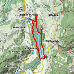
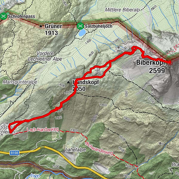
Lechleiten0,0 kmBiberkopf (2.599 m)3,4 kmLechleiten6,6 km
- Hauteur maximale
- 2.587 m
- Profil en hauteur
-


- Auteur
-
La randonnée Biberkopf est utilisé par outdooractive.com fourni par.
GPS Downloads

Autres parcours dans les régions
-
Kleinwalsertal
2049
-
Steeg im Lechtal
363