

© Fotograf Patrick Säly - im Auftrag von Prof. Dr. Rüdiger Krause, Montafon-Projekt der Goethe-Universität Frankfurt am Main - Prof. Dr. Rüdiger Krause und Mitarbeiter, Institut für Archäologische Wissenschaften der Goethe-Universität Frankfurt am Main

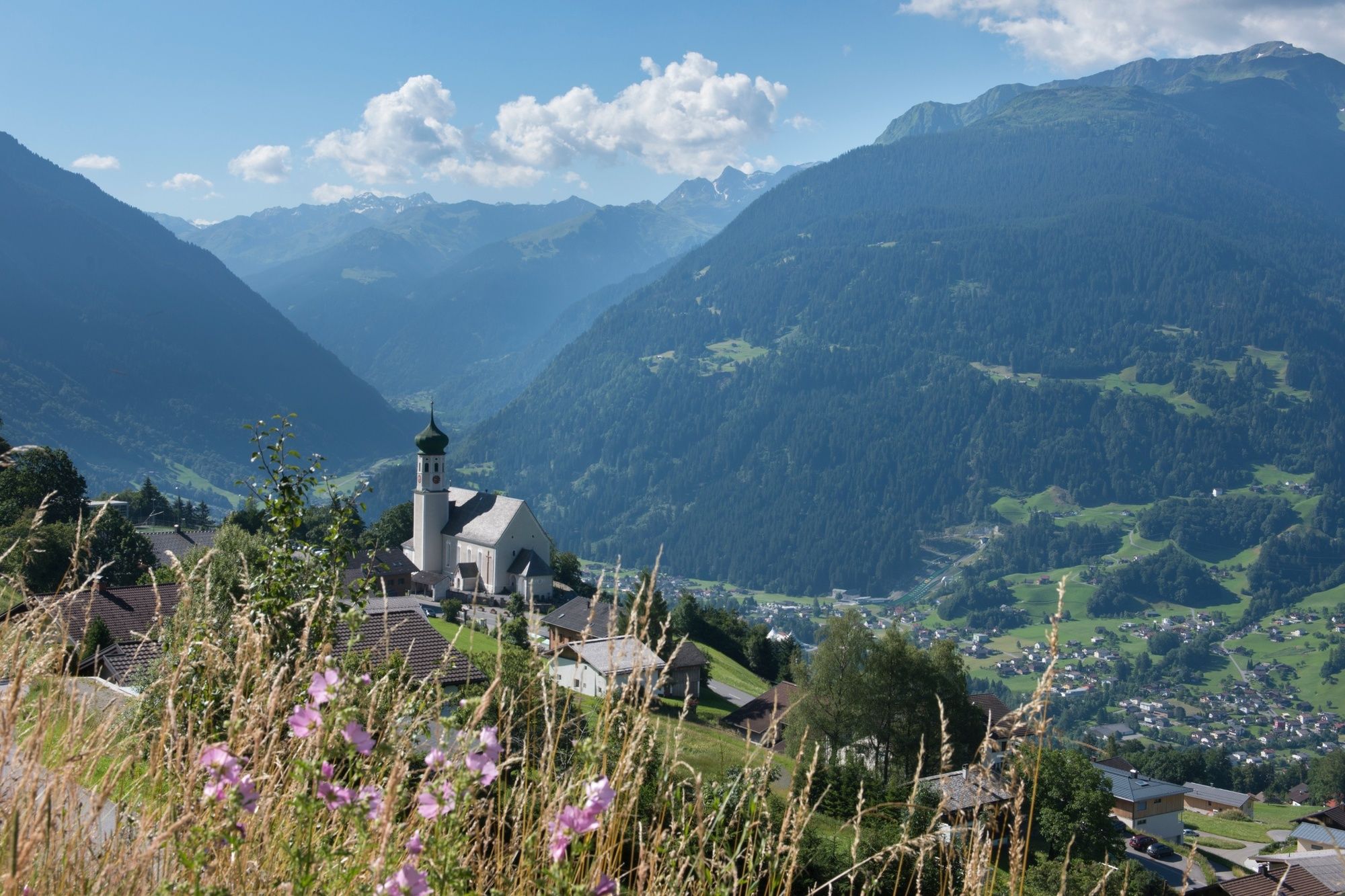
© Montafon - Montafon Tourismus GmbH

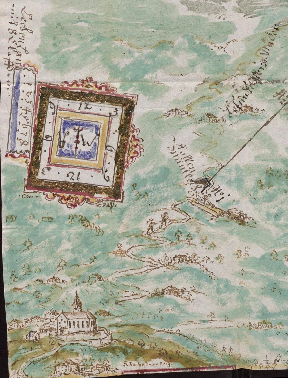
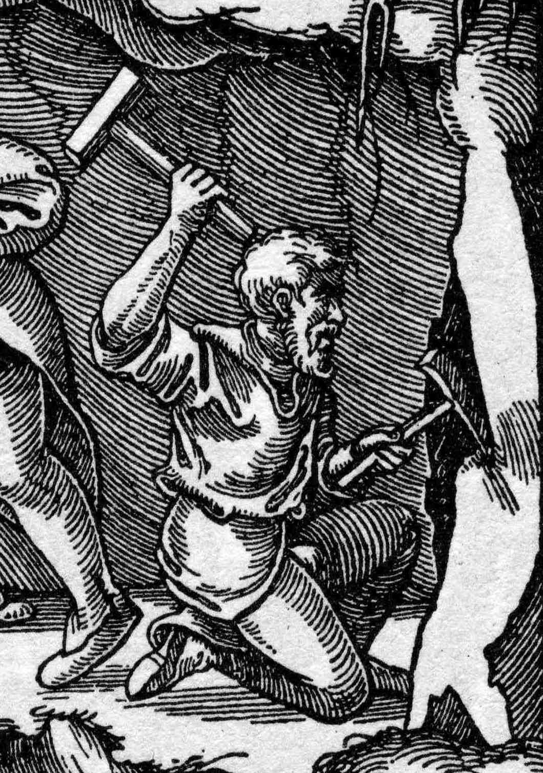
© Prof. Dr. Rüdiger Krause, Montafon-Projekt der Goethe-Universität Frankfurt am Main - Prof. Dr. Rüdiger Krause und Mitarbeiter, Institut für Archäologische Wissenschaften der Goethe-Universität Frankfurt am Main

© Prof. Dr. Rüdiger Krause, Montafon-Projekt der Goethe-Universität Frankfurt am Main - Prof. Dr. Rüdiger Krause und Mitarbeiter, Institut für Archäologische Wissenschaften der Goethe-Universität Frankfurt am Main

© Prof. Dr. Rüdiger Krause, Montafon-Projekt der Goethe-Universität Frankfurt am Main - Prof. Dr. Rüdiger Krause und Mitarbeiter, Institut für Archäologische Wissenschaften der Goethe-Universität Frankfurt am Main

© Prof. Dr. Rüdiger Krause, Montafon-Projekt der Goethe-Universität Frankfurt am Main - Prof. Dr. Rüdiger Krause und Mitarbeiter, Institut für Archäologische Wissenschaften der Goethe-Universität Frankfurt am Main

© Prof. Dr. Rüdiger Krause, Montafon-Projekt der Goethe-Universität Frankfurt am Main - Prof. Dr. Rüdiger Krause und Mitarbeiter, Institut für Archäologische Wissenschaften der Goethe-Universität Frankfurt am Main

© Prof. Dr. Rüdiger Krause, Montafon-Projekt der Goethe-Universität Frankfurt am Main - Prof. Dr. Rüdiger Krause und Mitarbeiter, Institut für Archäologische Wissenschaften der Goethe-Universität Frankfurt am Main

© Prof. Dr. Rüdiger Krause, Montafon-Projekt der Goethe-Universität Frankfurt am Main - Prof. Dr. Rüdiger Krause und Mitarbeiter, Institut für Archäologische Wissenschaften der Goethe-Universität Frankfurt am Main

© Prof. Dr. Rüdiger Krause, Montafon-Projekt der Goethe-Universität Frankfurt am Main - Prof. Dr. Rüdiger Krause und Mitarbeiter, Institut für Archäologische Wissenschaften der Goethe-Universität Frankfurt am Main

- Brève description
-
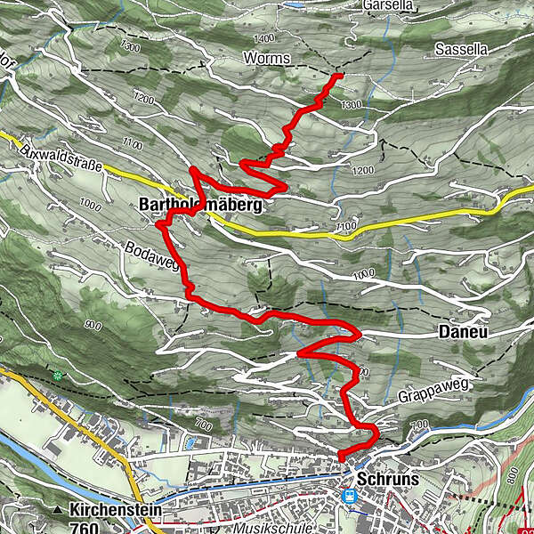
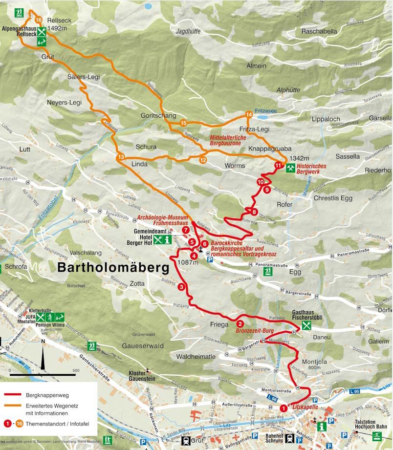
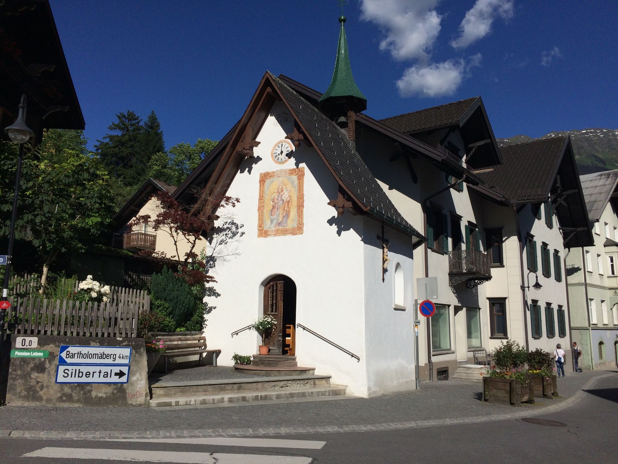
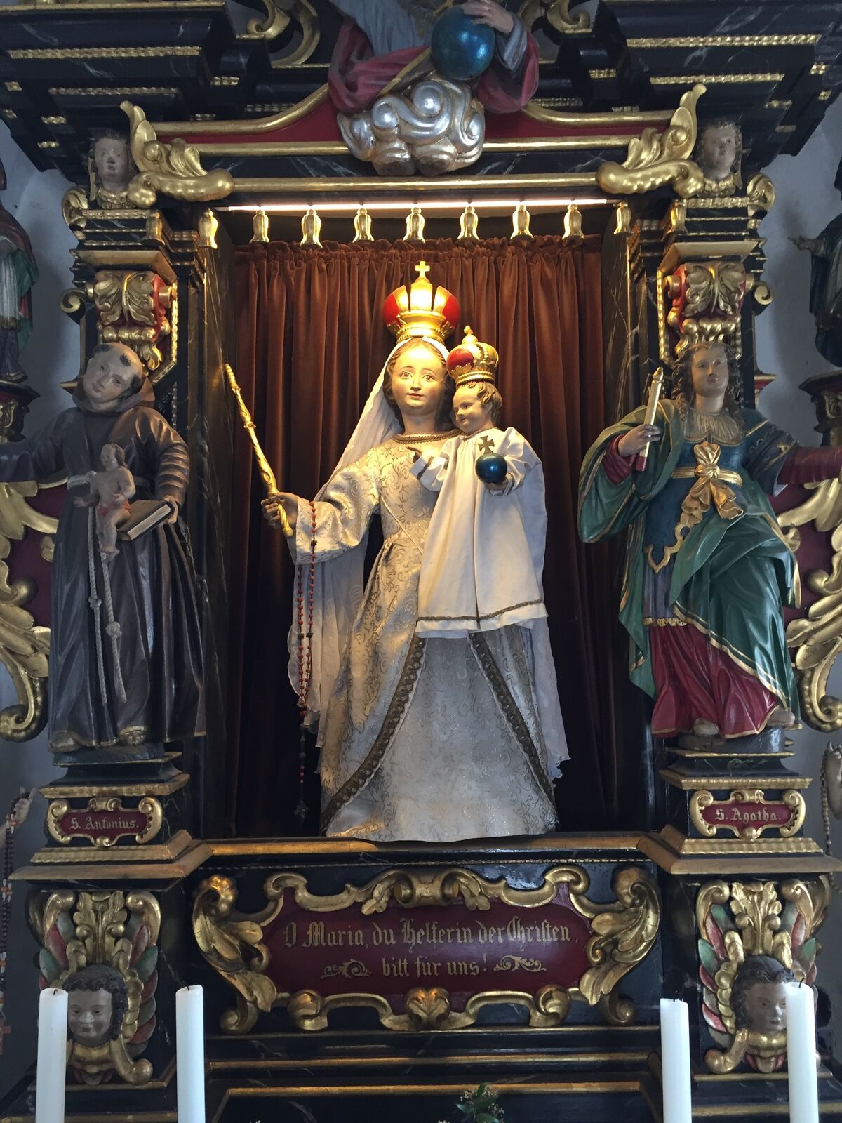
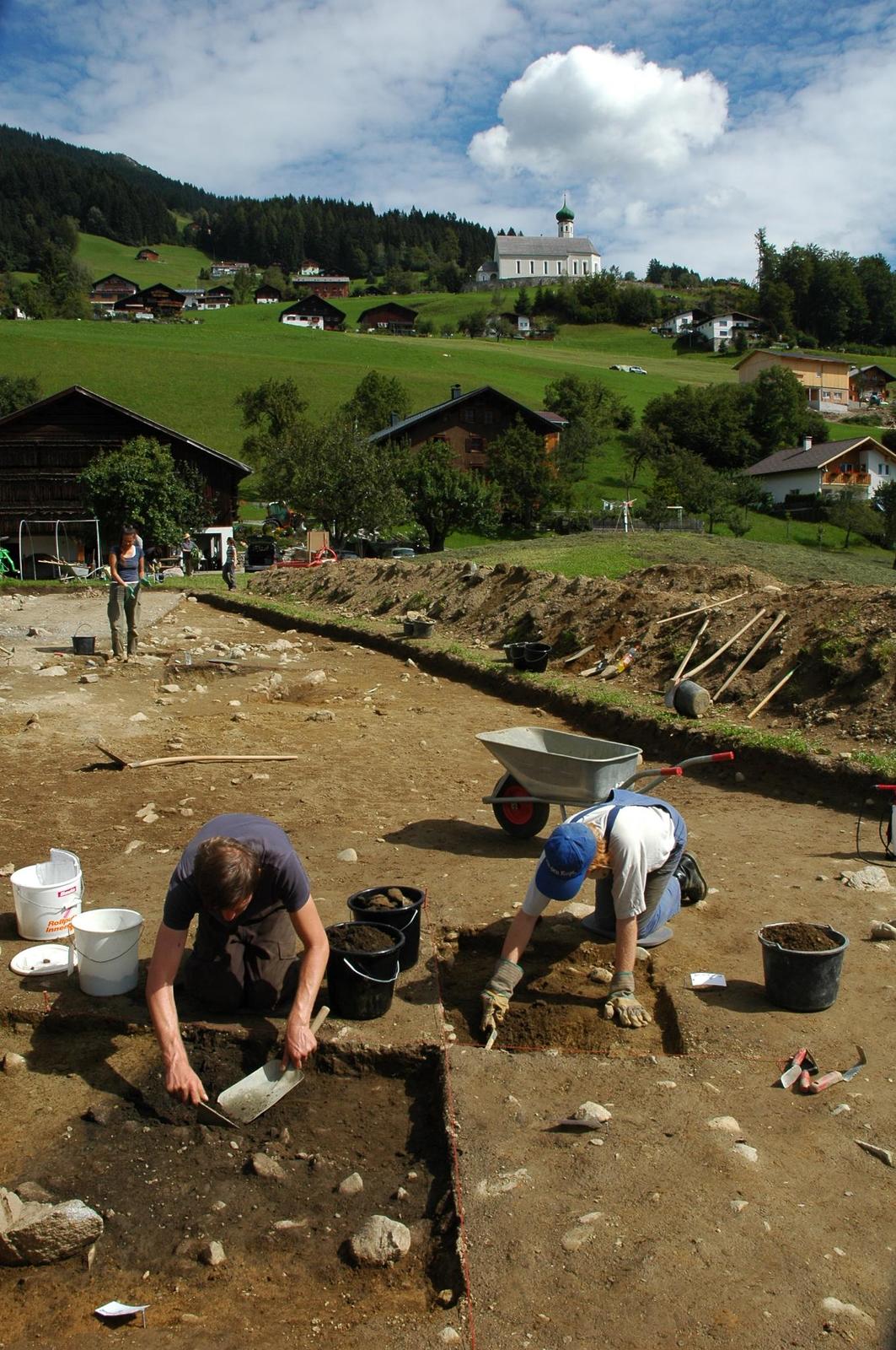
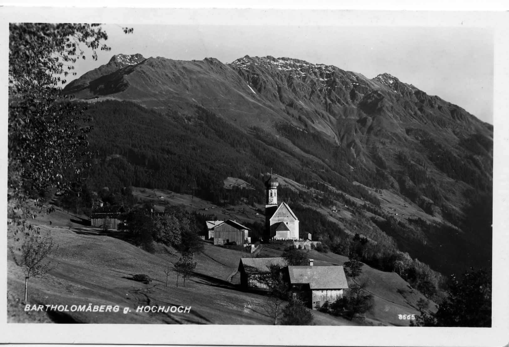
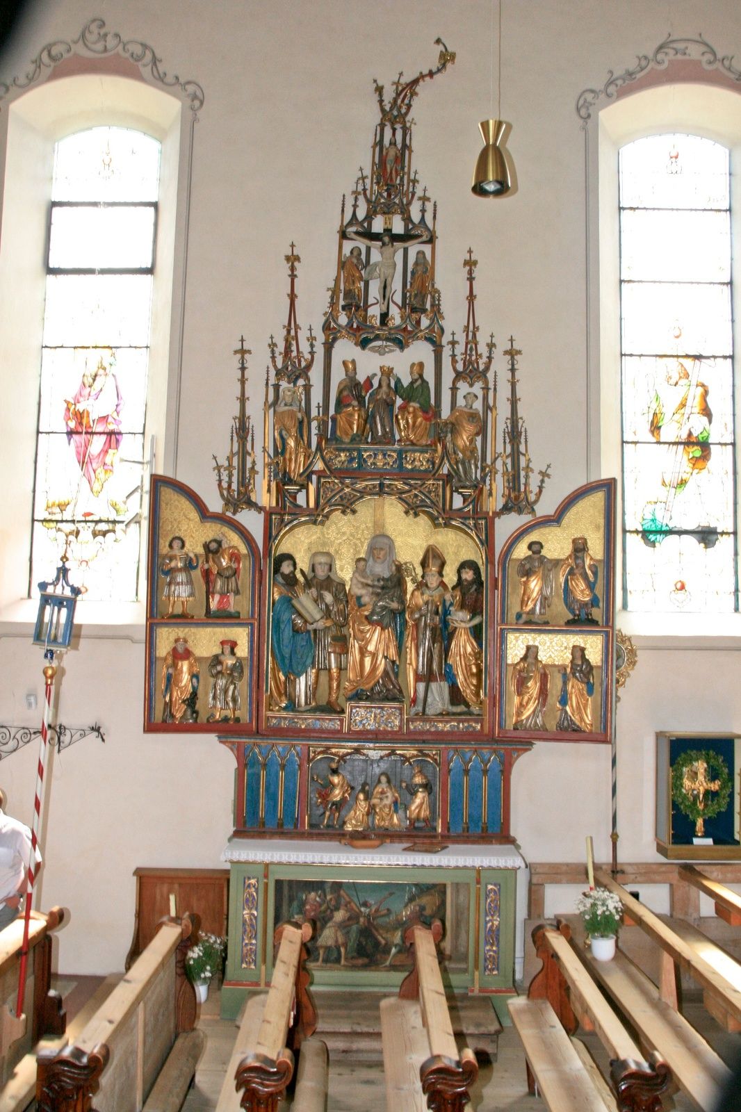
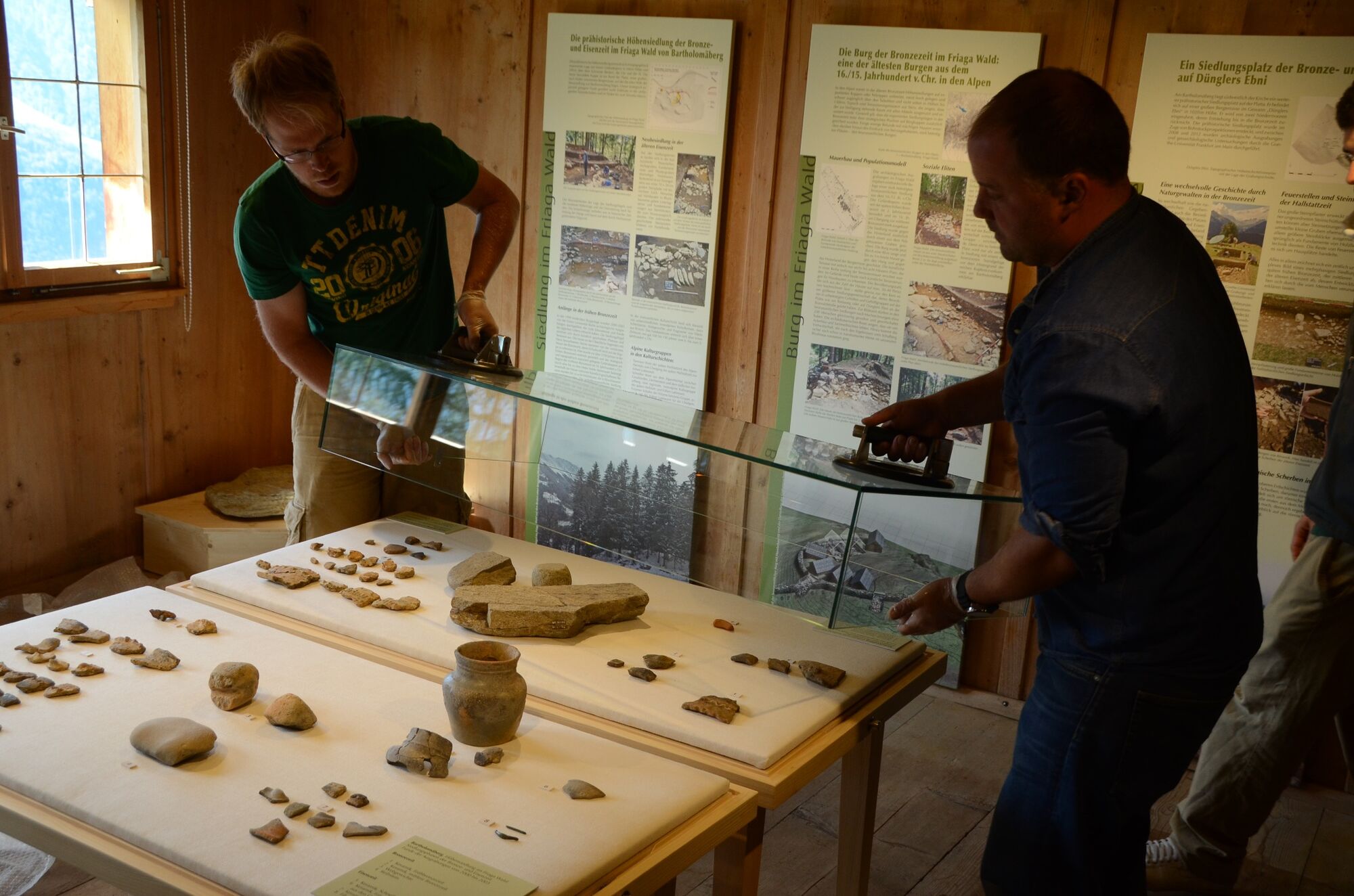
Litzkapelle Schruns - Montjola - Gasthaus Fischerstöbli - Plattaweg - Barockkirche Bartholomäberg - Roferweg - Historisches Bergwerk
- Difficulté
-
moyen
- Évaluation
-
- Parcours
-
LitzkapelleSchruns0,2 kmPfarrkirche Bartholomäberg2,9 kmBartholomäberg2,9 km
- Meilleure saison
-
janv.févr.marsavrilmaijuinjuil.aoûtsept.oct.nov.déc.
- Hauteur maximale
- 1.333 m
- Point de mire
-
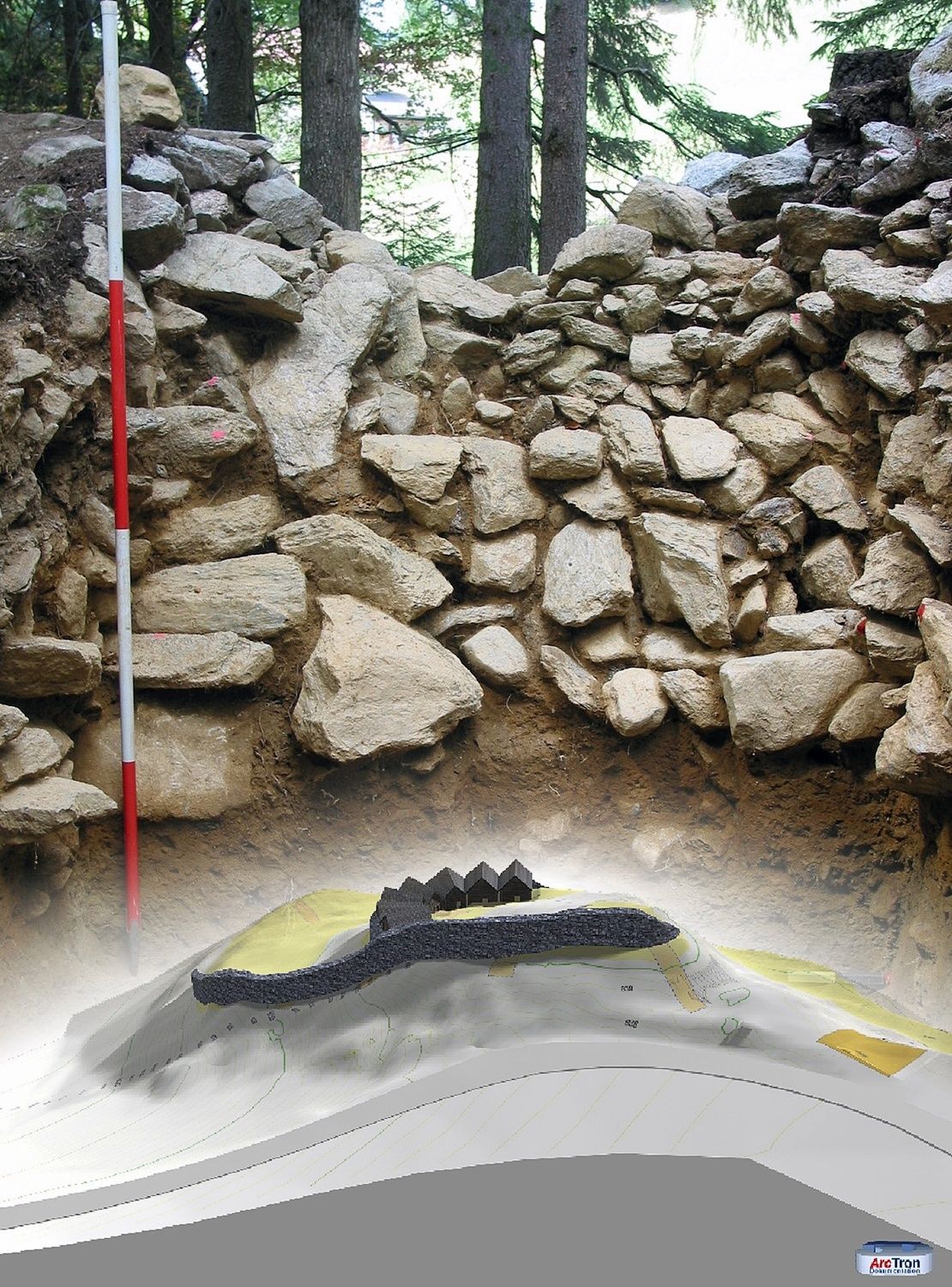
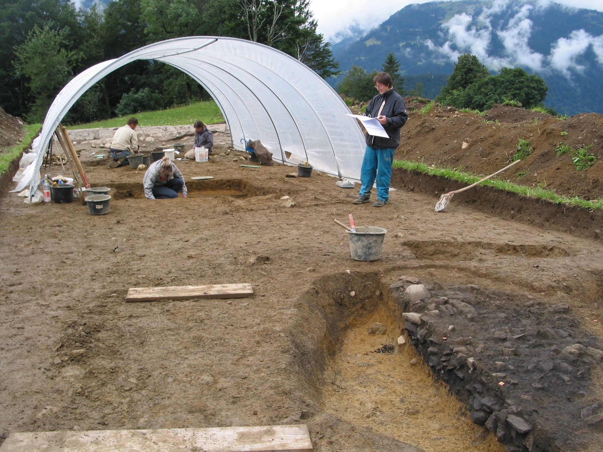
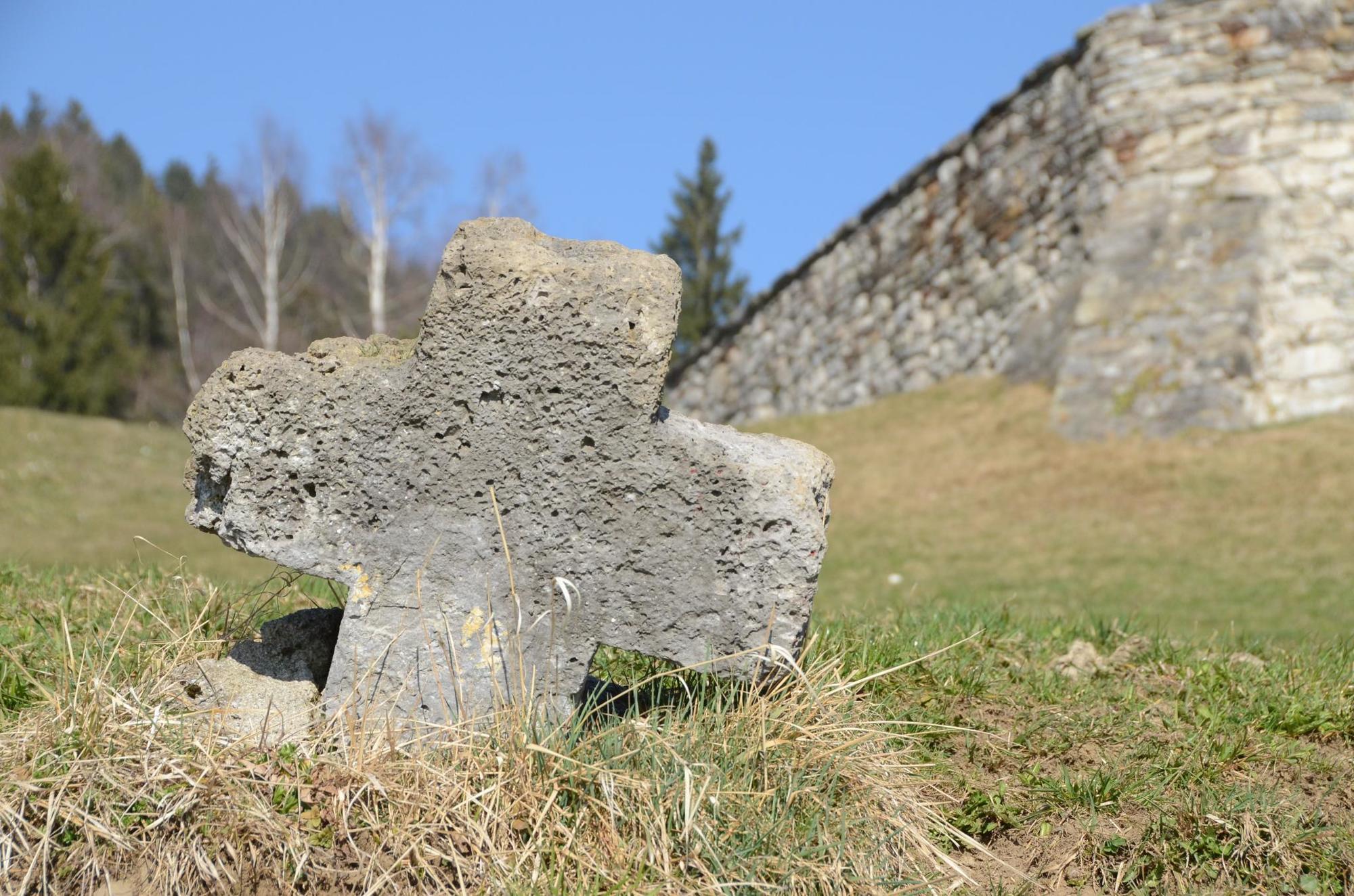
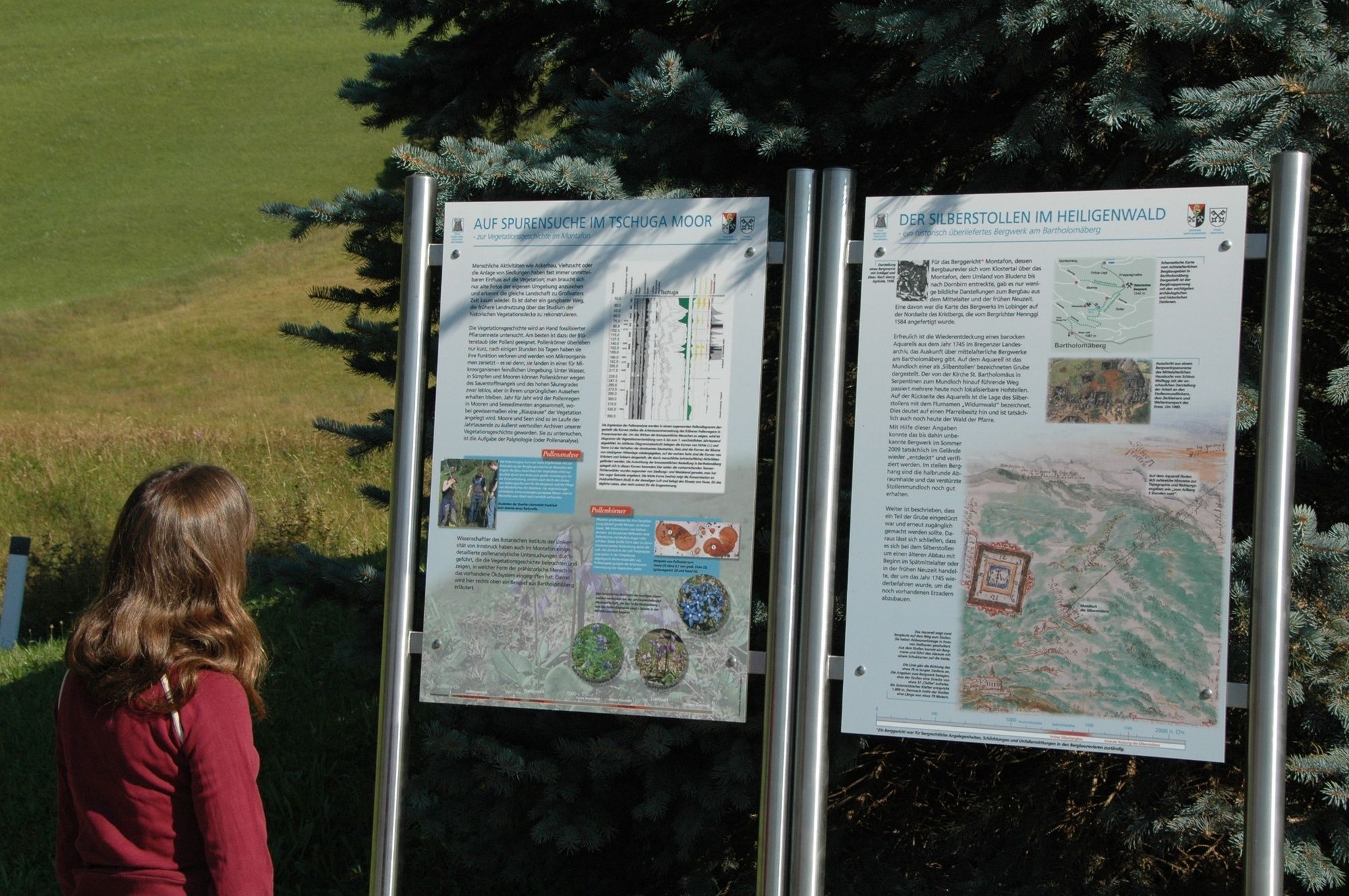
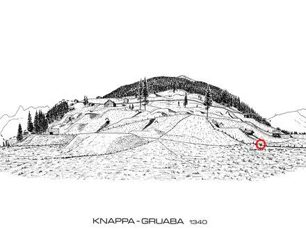
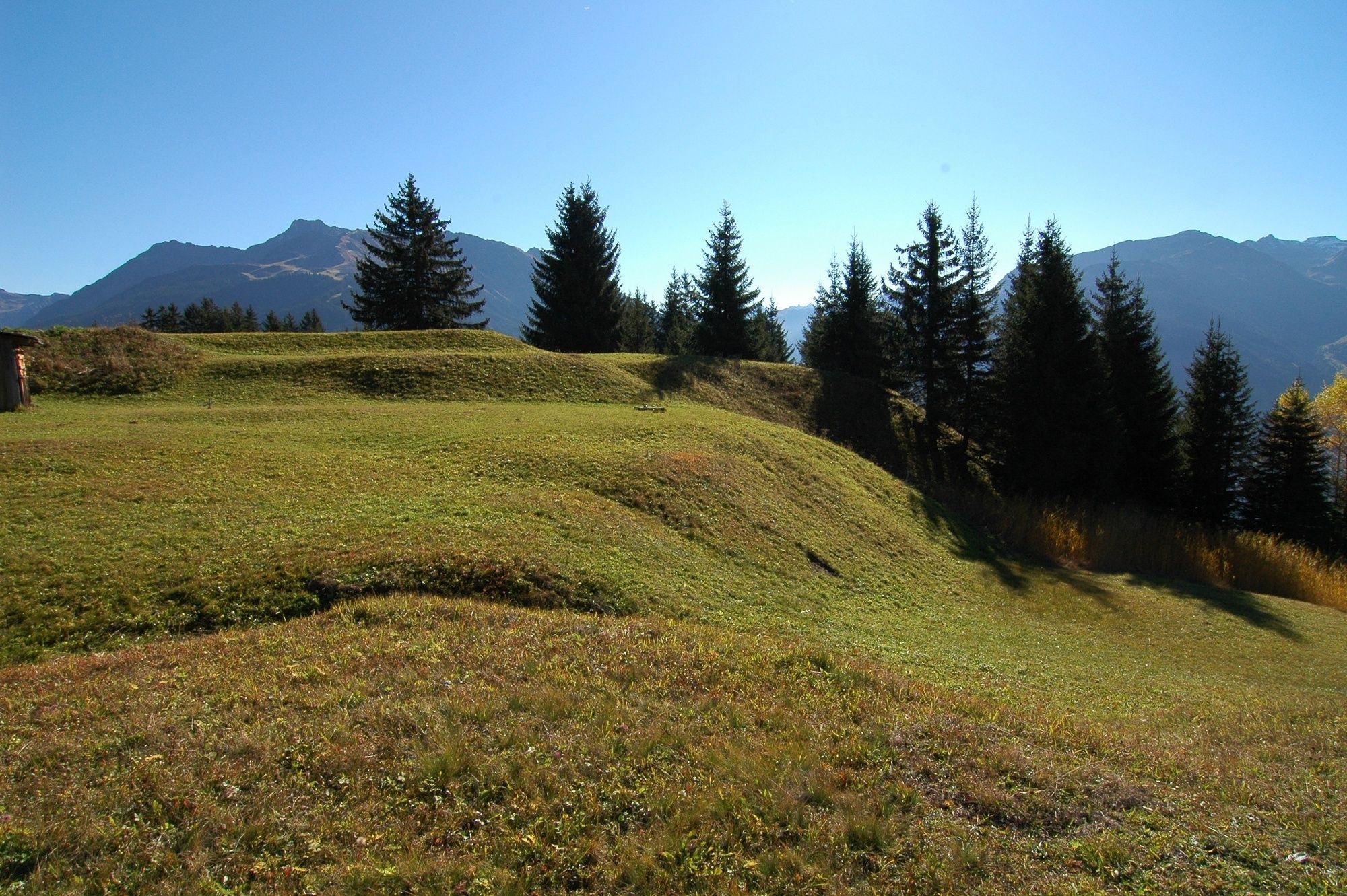
Knappagruaba beim Historischen Bergwerk, Bartholomäberg
- Profil en hauteur
-


- Auteur
-
La randonnée Bergknappenweg Bartholomäberg est utilisé par outdooractive.com fourni par.
GPS Downloads


Informations générales
Prometteur
Autres parcours dans les régions
-
Montafon
1381
-
Bartholomäberg
533


