

© Lech Zürs Tourismus GmbH - Lech Zuers Tourismus GmbH

© Lech Zürs Tourismus GmbH - Lech Zuers Tourismus GmbH


© Lech Zürs Tourismus GmbH - Lech Zuers Tourismus GmbH

© Lech Zürs Tourismus GmbH - Lech Zuers Tourismus GmbH

© Lech Zürs Tourismus GmbH - Lech Zuers Tourismus GmbH

© Lech Zürs Tourismus GmbH - Lech Zuers Tourismus GmbH
- Brève description
-
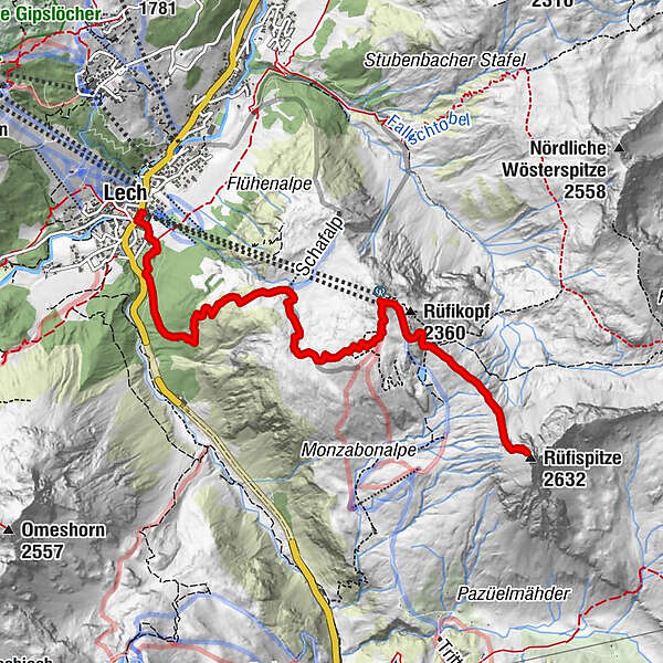
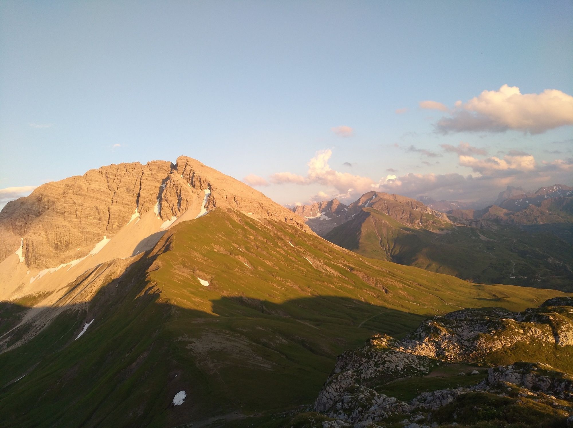
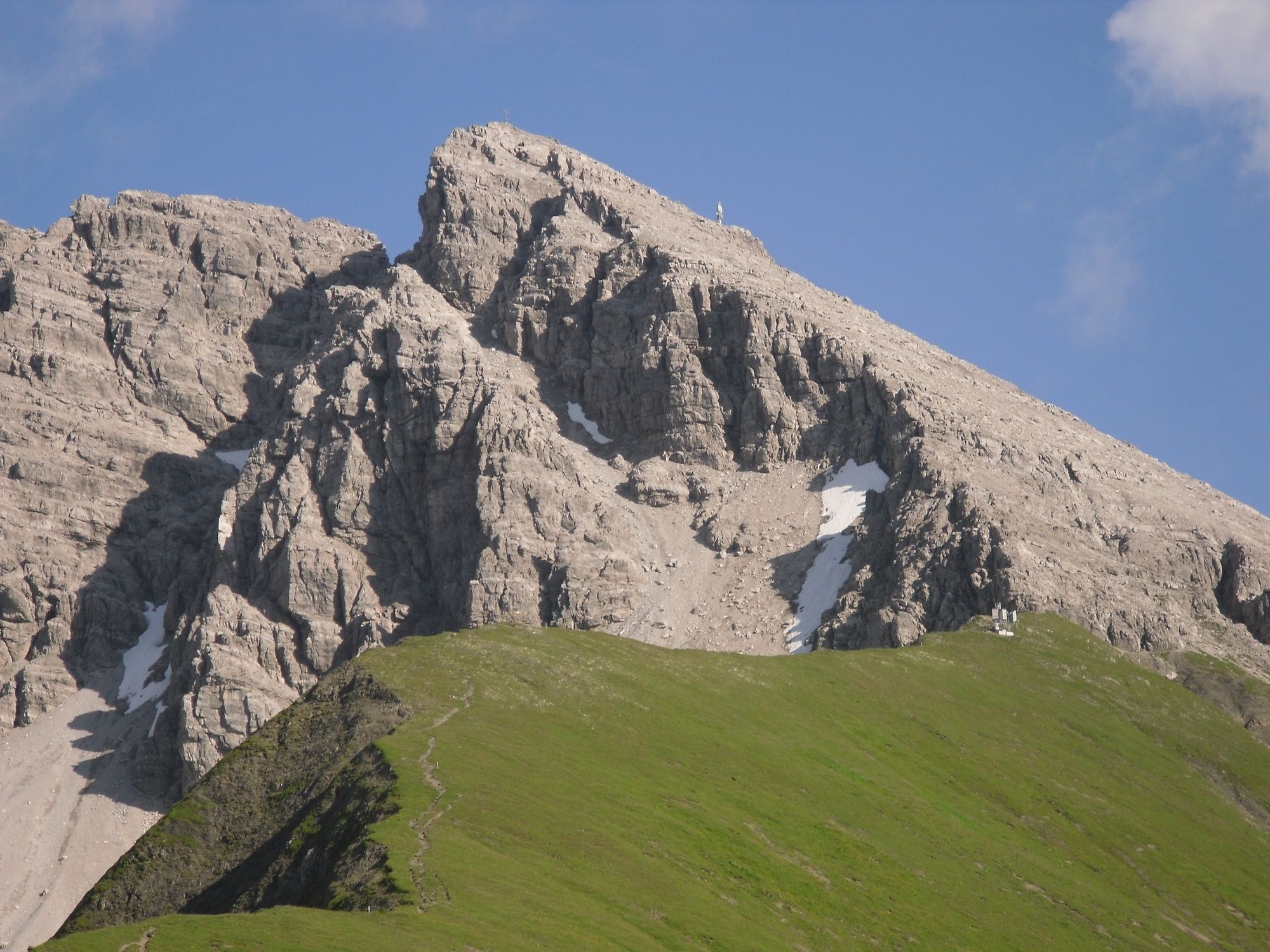
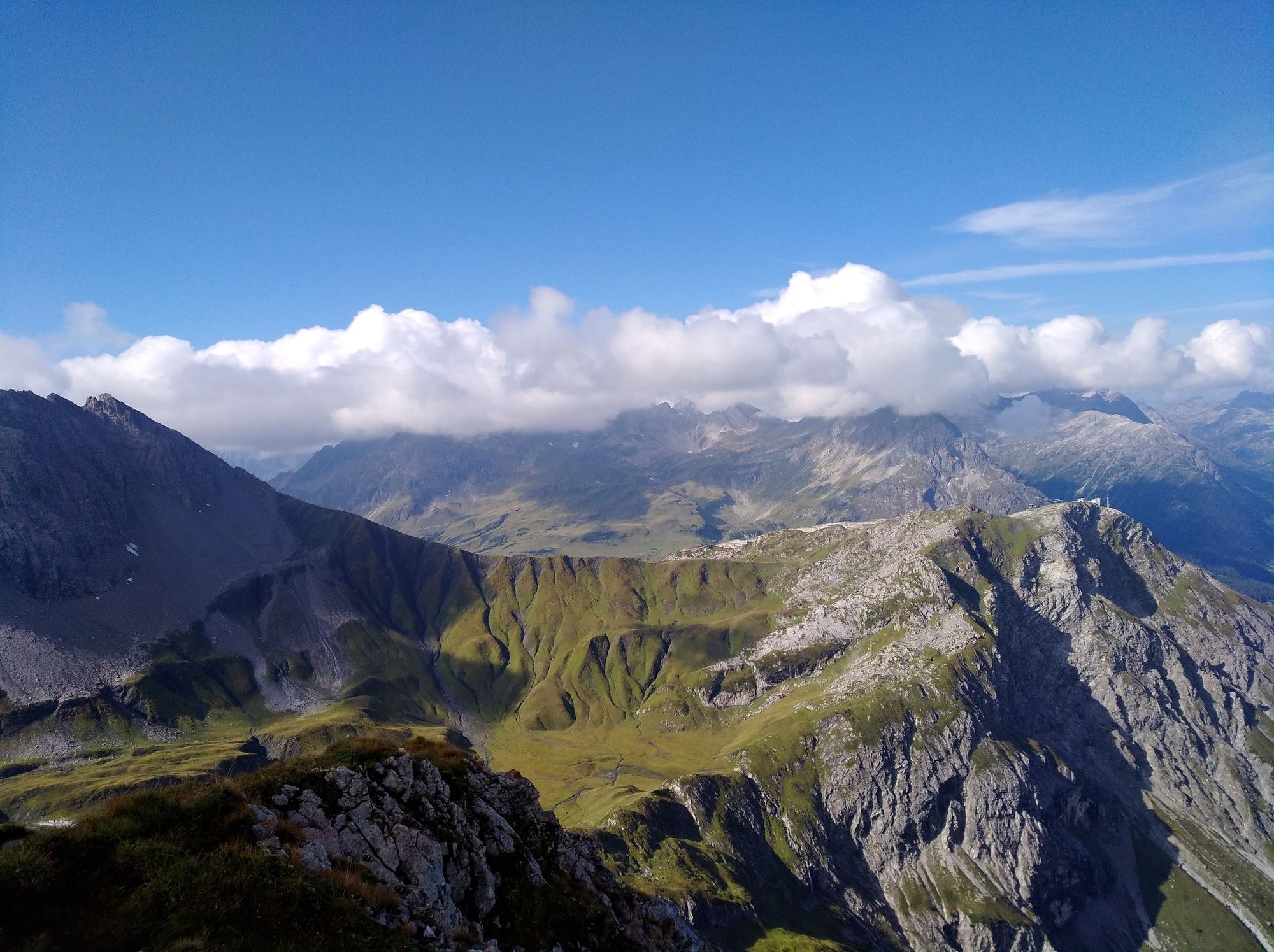
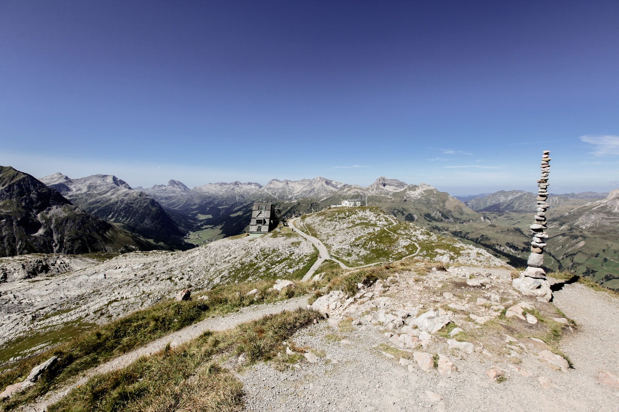
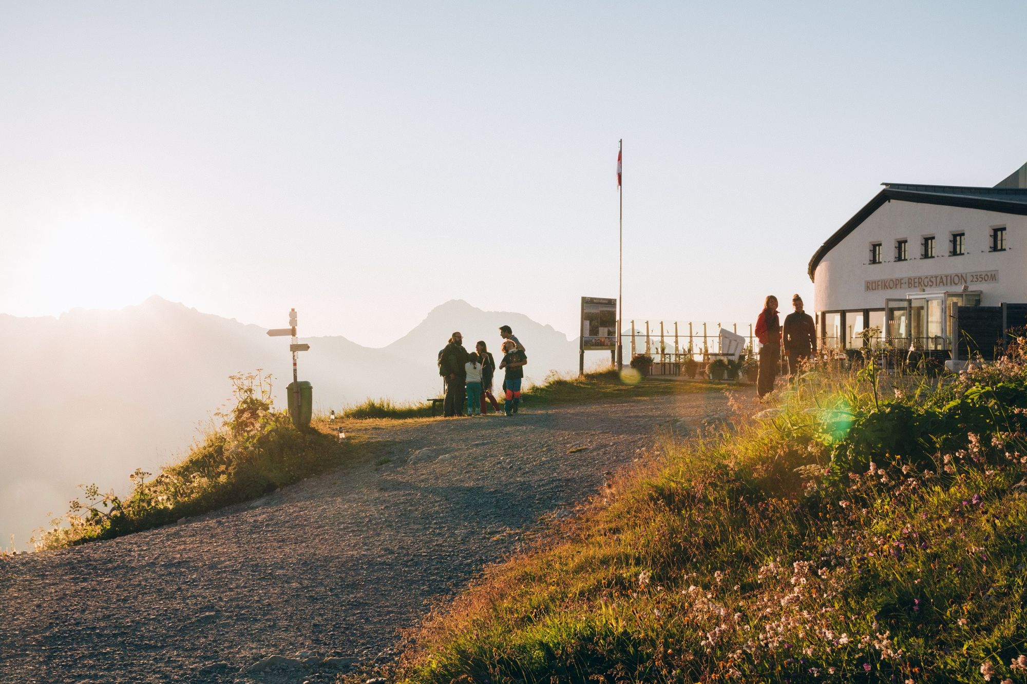
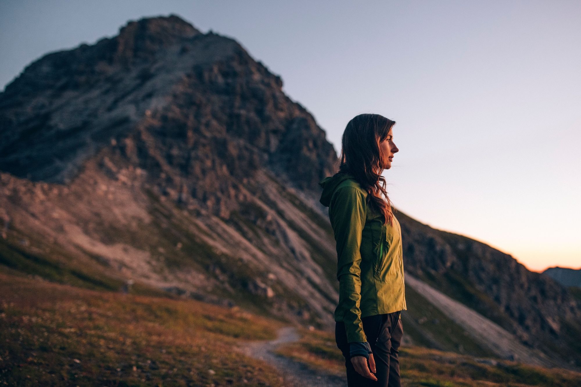
From Lech you go up to the Rüfikopf, past the mountain railway station and the panorama restaurant. Up to the summit of the Rüfispitze with a magnificent panoramic view.
- Difficulté
-
difficile
- Évaluation
-
- Parcours
-
Lech (1.444 m)0,0 kmRüfikopfbahn II4,5 kmPanoramarestaurant Rüfikopf4,5 kmRüfispitze (2.632 m)6,6 km
- Meilleure saison
-
janv.févr.marsavrilmaijuinjuil.aoûtsept.oct.nov.déc.
- Hauteur maximale
- 2.571 m
- Point de mire
-
Lech
- Profil en hauteur
-


-

-
AuteurLa randonnée From Lech to Rüfispitze est utilisé par outdooractive.com fourni par.
GPS Downloads


Informations générales
Point de rassemblement
Prometteur
Autres parcours dans les régions


