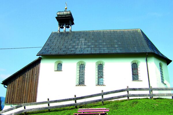
© Bregenzerwald Tourismus - Alex Kaiser

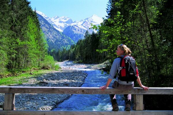
© Bregenzerwald Tourismus - Alex Kaiser

© Bregenzerwald Tourismus - Cornelia Kriegner

© Bregenzerwald Tourismus - Cornelia Kriegner

© Bregenzerwald Tourismus - Martin Lang

© Bregenzerwald Tourismus - Alex Kaiser

© Bregenzerwald Tourismus - Alex Kaiser

© Bregenzerwald Tourismus - Nadine Lerho

© Bregenzerwald Tourismus - Martin Lang

© Bregenzerwald Tourismus - Alex Kaiser

- Brève description
-
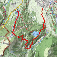
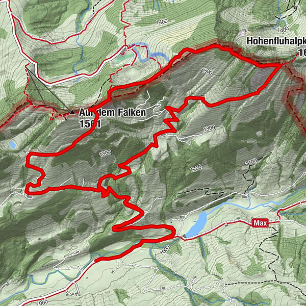
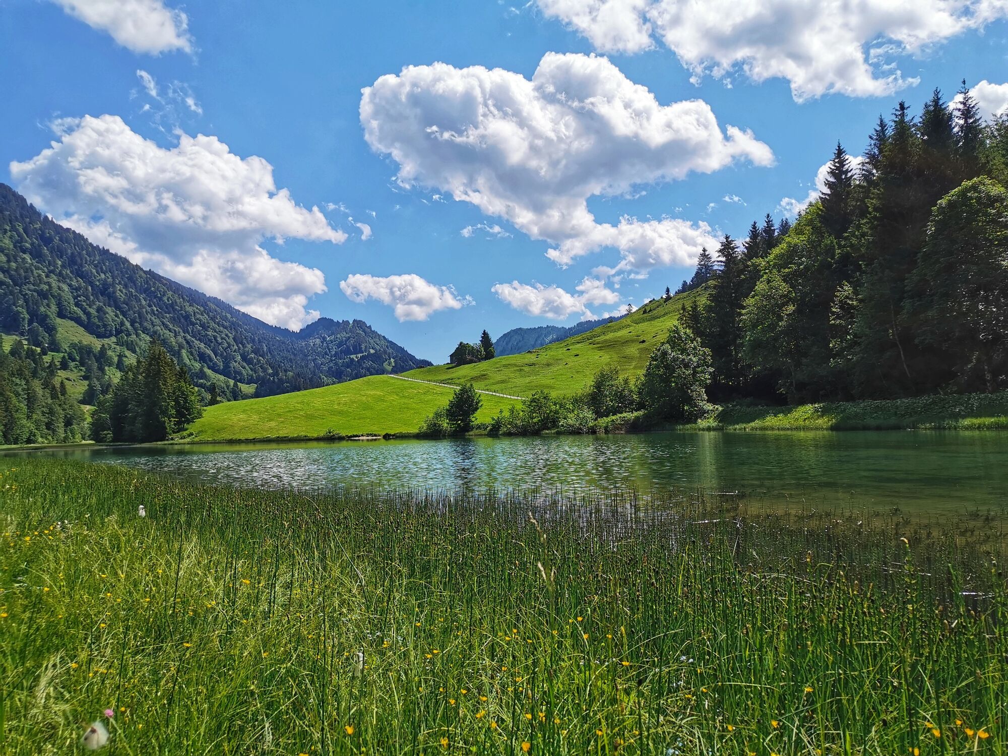
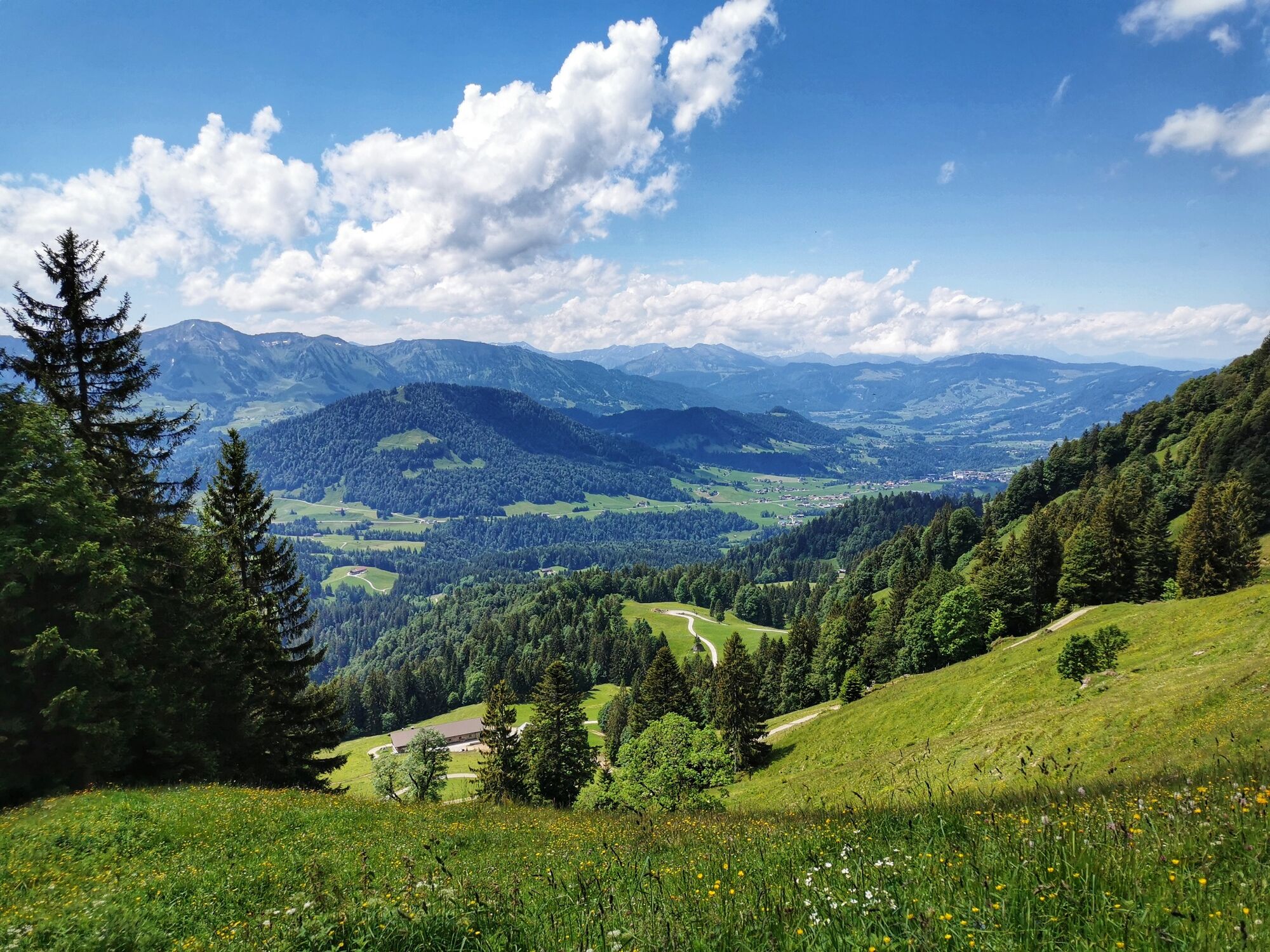
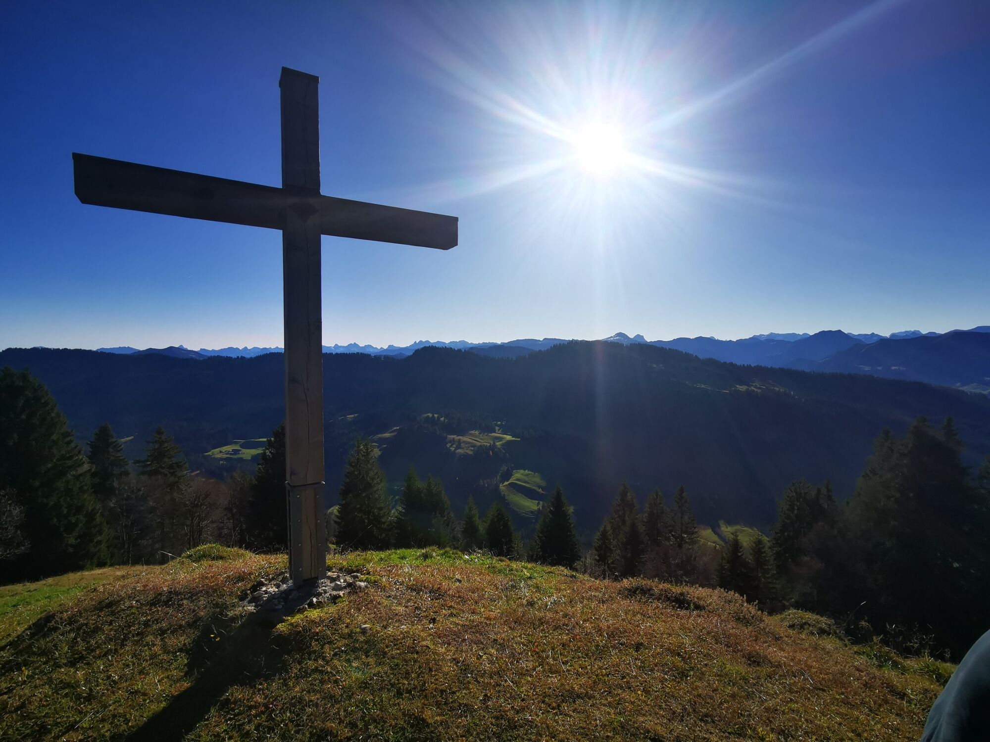
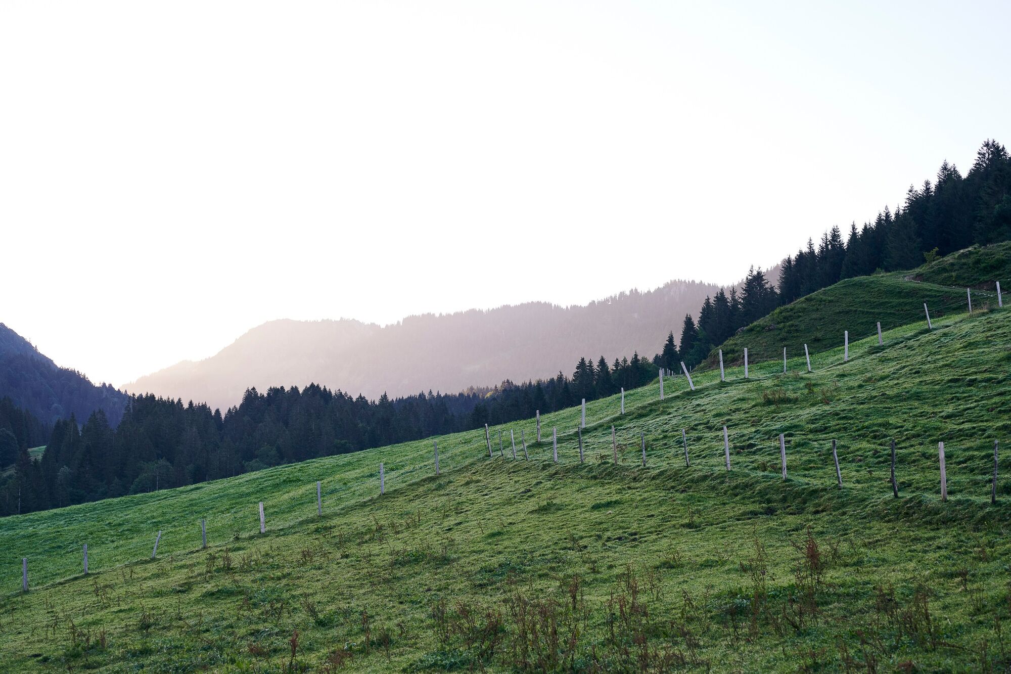
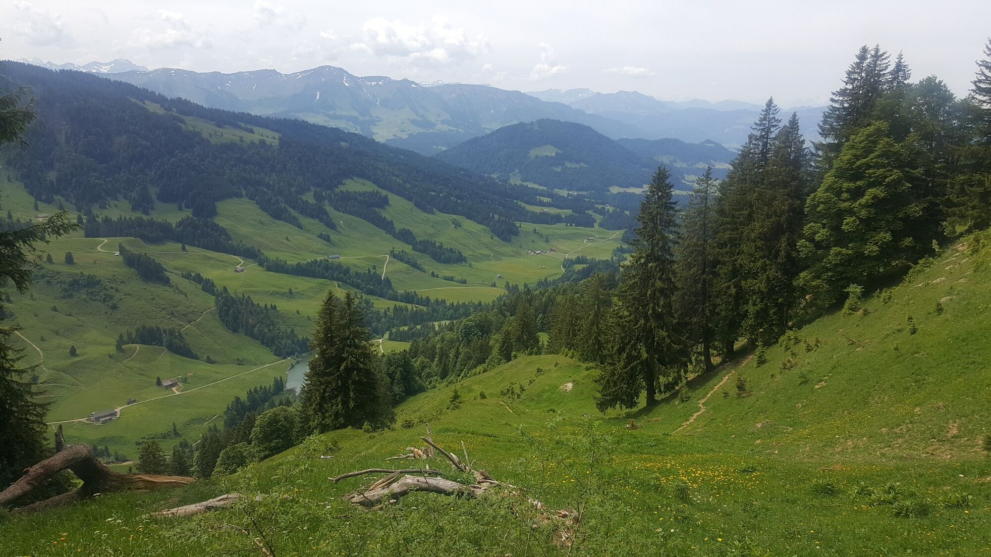
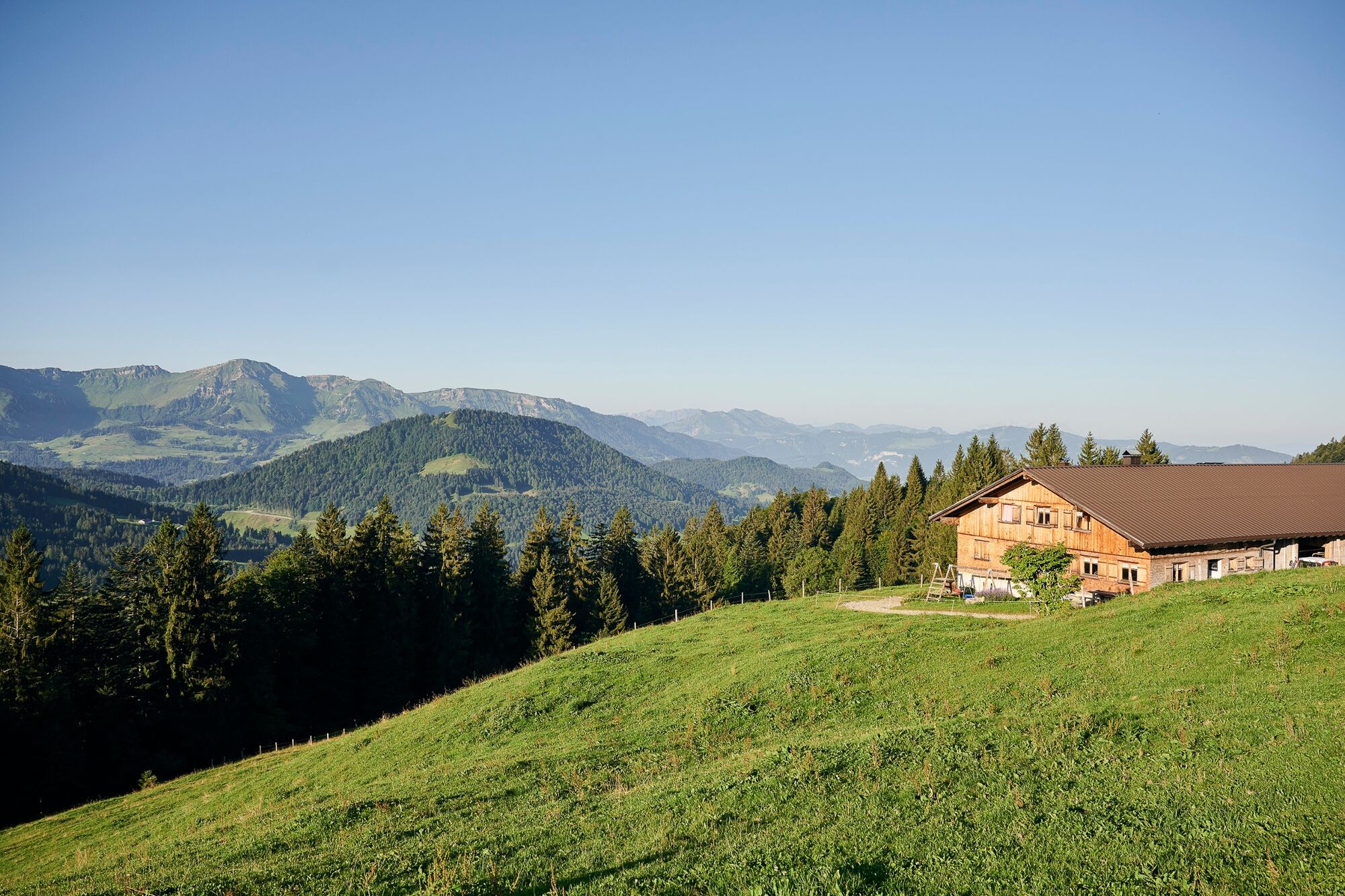
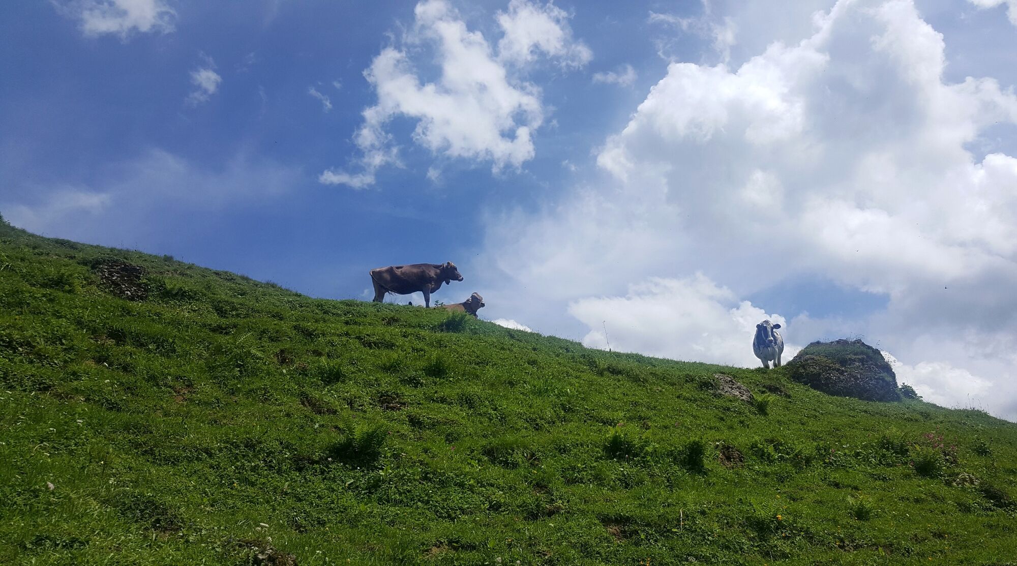
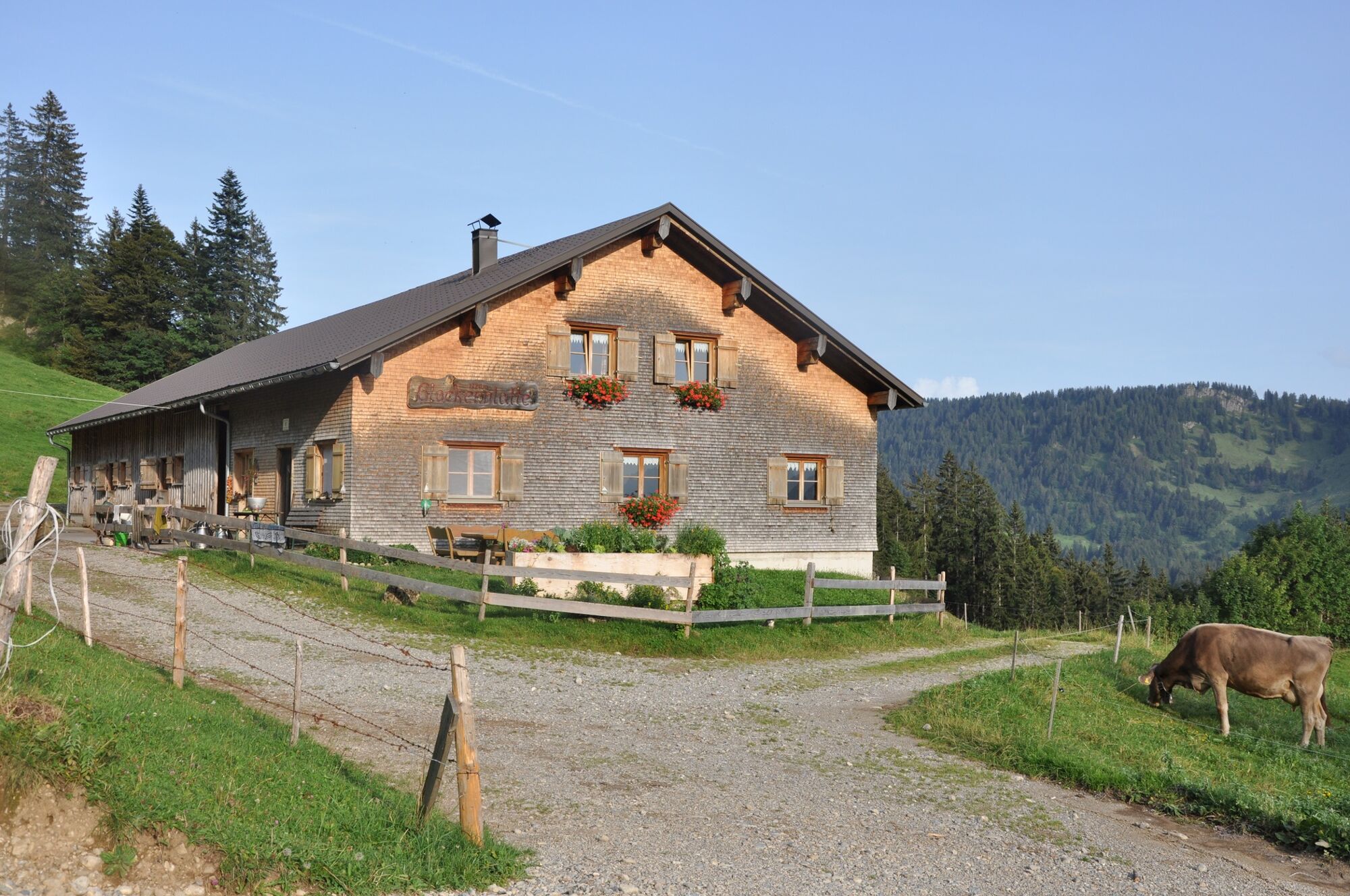
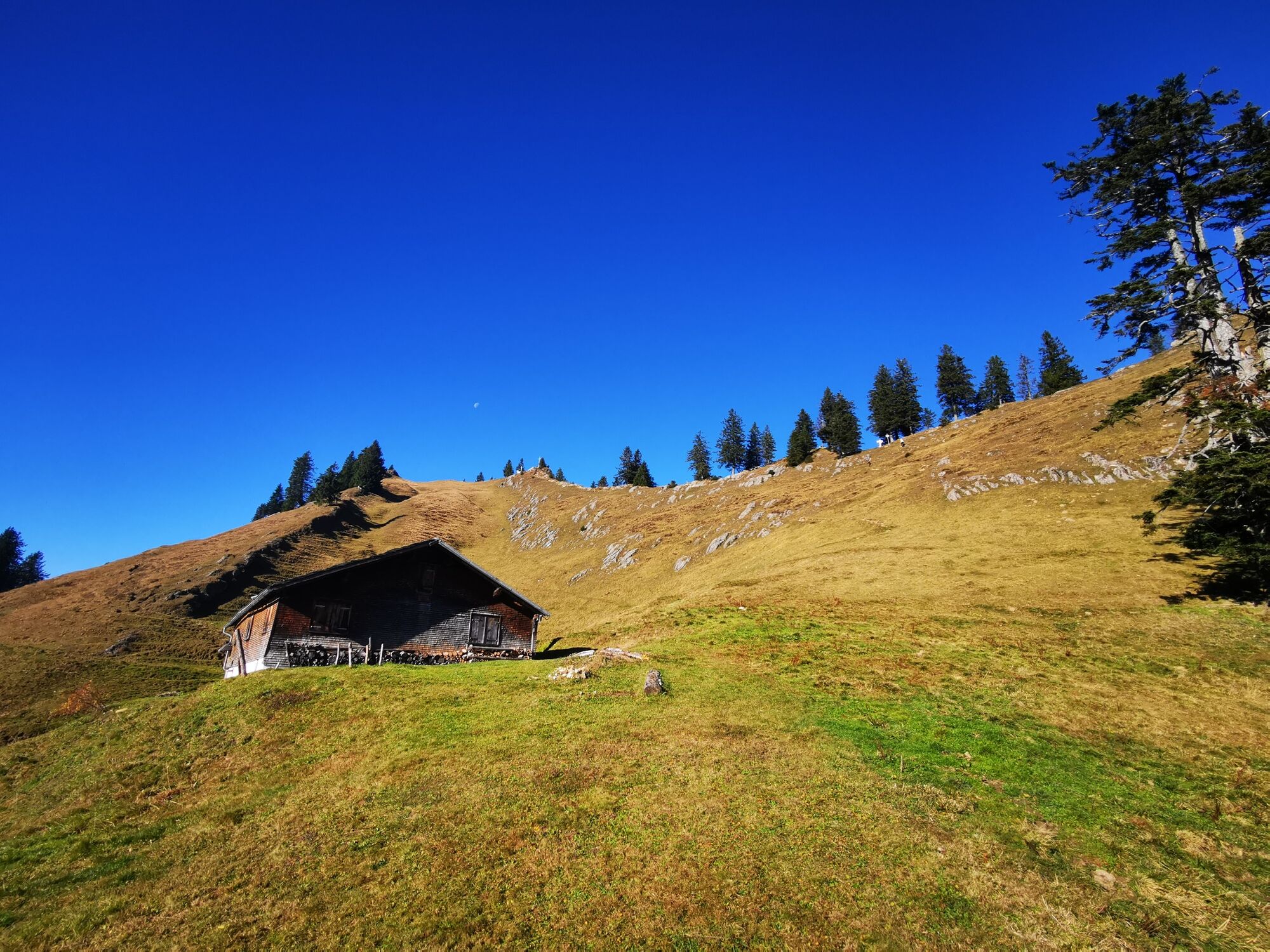
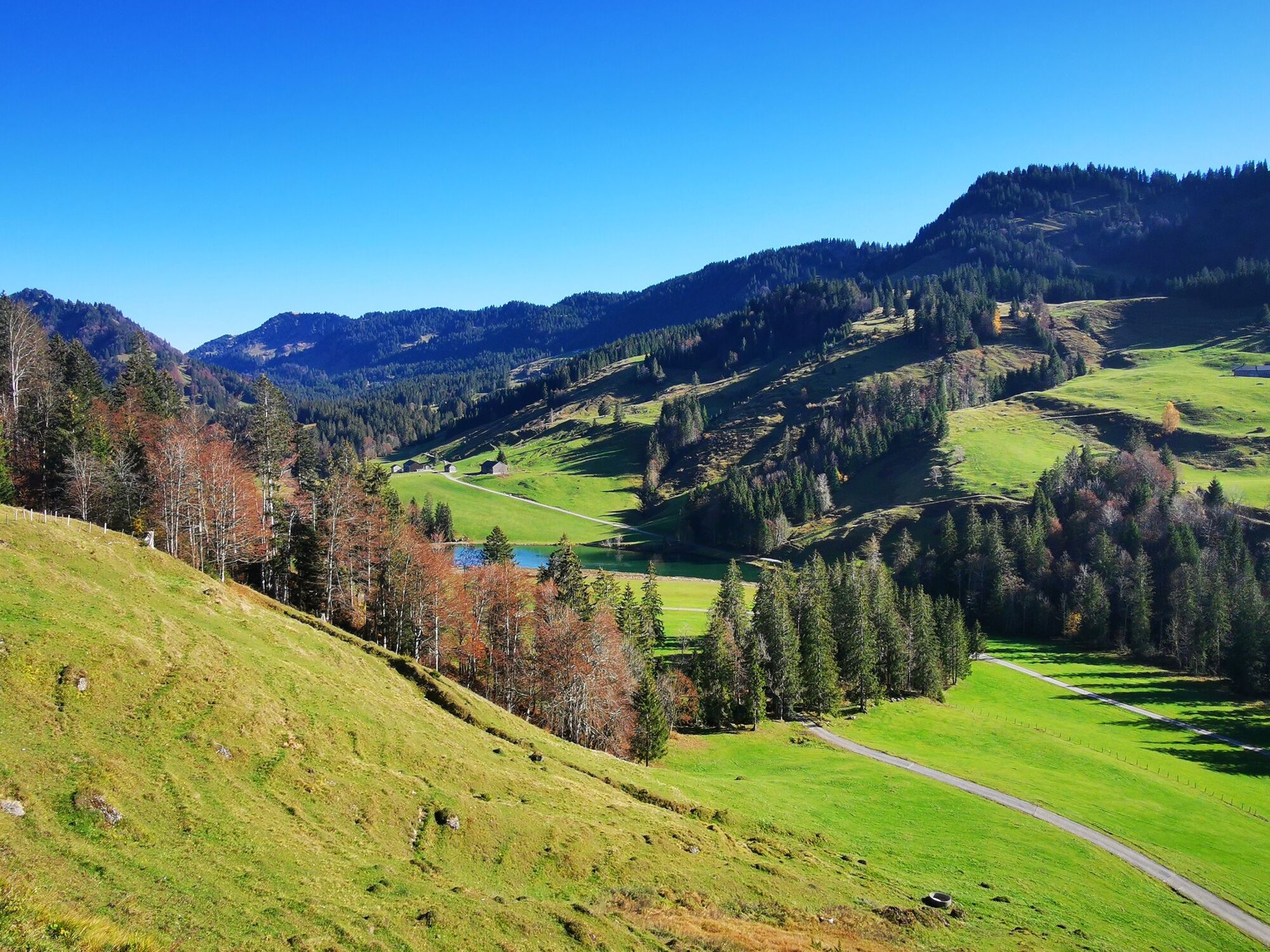
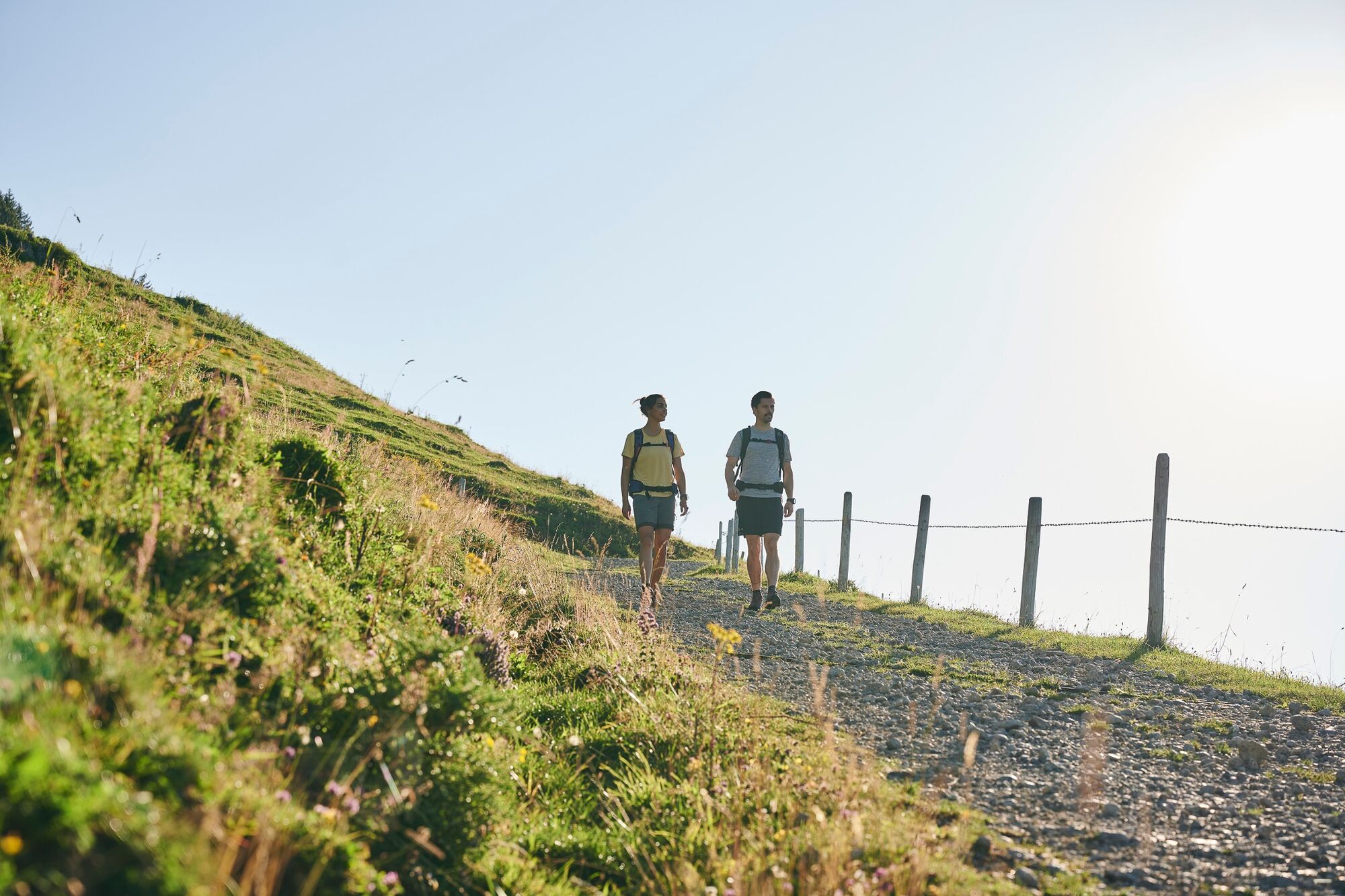
Mountain tour through the Lecknertal in Hittisau with over 100 alps. Six alps are located on this hiking path.
- Difficulté
-
moyen
- Évaluation
-
- Parcours
-
Eineguntkopf (1.639 m)5,9 km
- Meilleure saison
-
janv.févr.marsavrilmaijuinjuil.aoûtsept.oct.nov.déc.
- Hauteur maximale
- 1.619 m
- Point de mire
-
car park Lecknertal
- Profil en hauteur
-


- Auteur
-
La randonnée Hittisau | the village with most alps est utilisé par outdooractive.com fourni par.
GPS Downloads


Informations générales
Point de rassemblement
Prometteur
Autres parcours dans les régions
-
Allgäu
2357
-
Bregenzerwald
2297
-
Steibis
651