

© Lech Zürs Tourismus GmbH - Lech Zuers Tourismus GmbH
© Lech Zürs Tourismus GmbH - Lech Zuers Tourismus GmbH
© Lech Zürs Tourismus GmbH - Lech Zuers Tourismus GmbH
© Lech Zürs Tourismus GmbH - Lech Zuers Tourismus GmbH
© Lech Zürs Tourismus GmbH - Lech Zuers Tourismus GmbH
© Lech Zürs Tourismus GmbH - Lech Zuers Tourismus GmbH
- Brève description
-
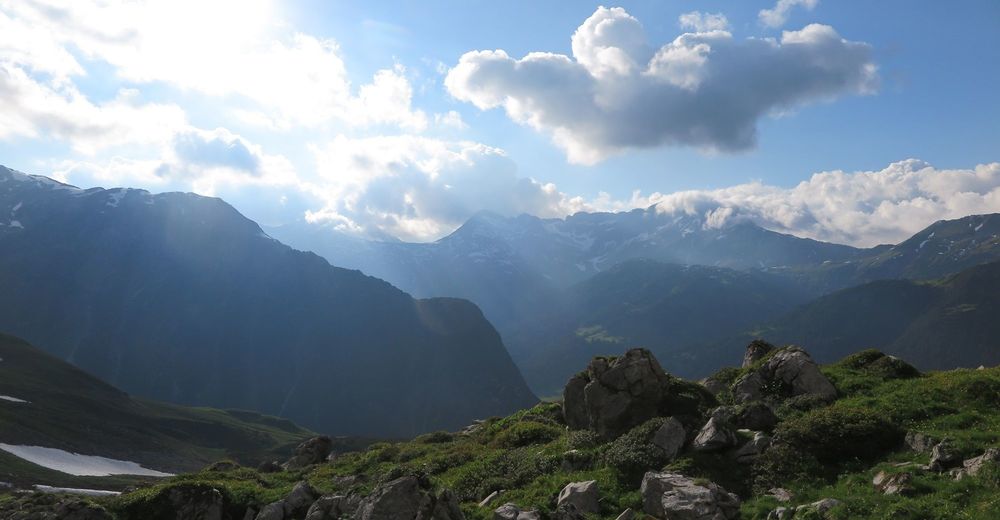
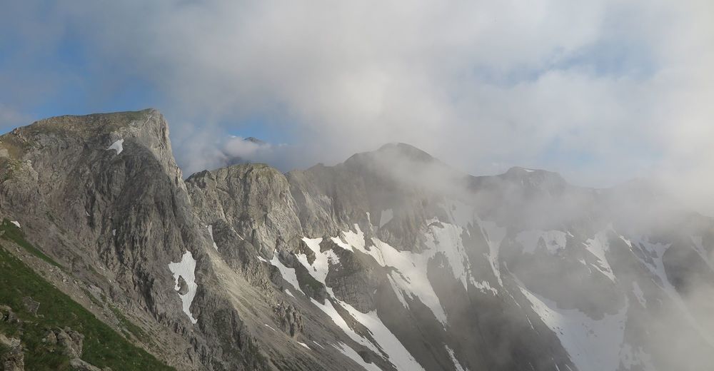
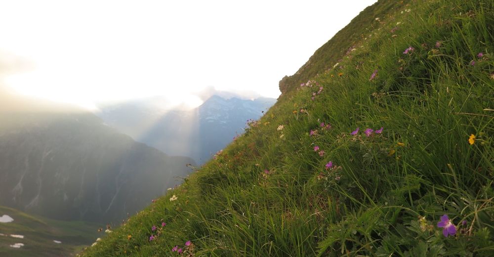
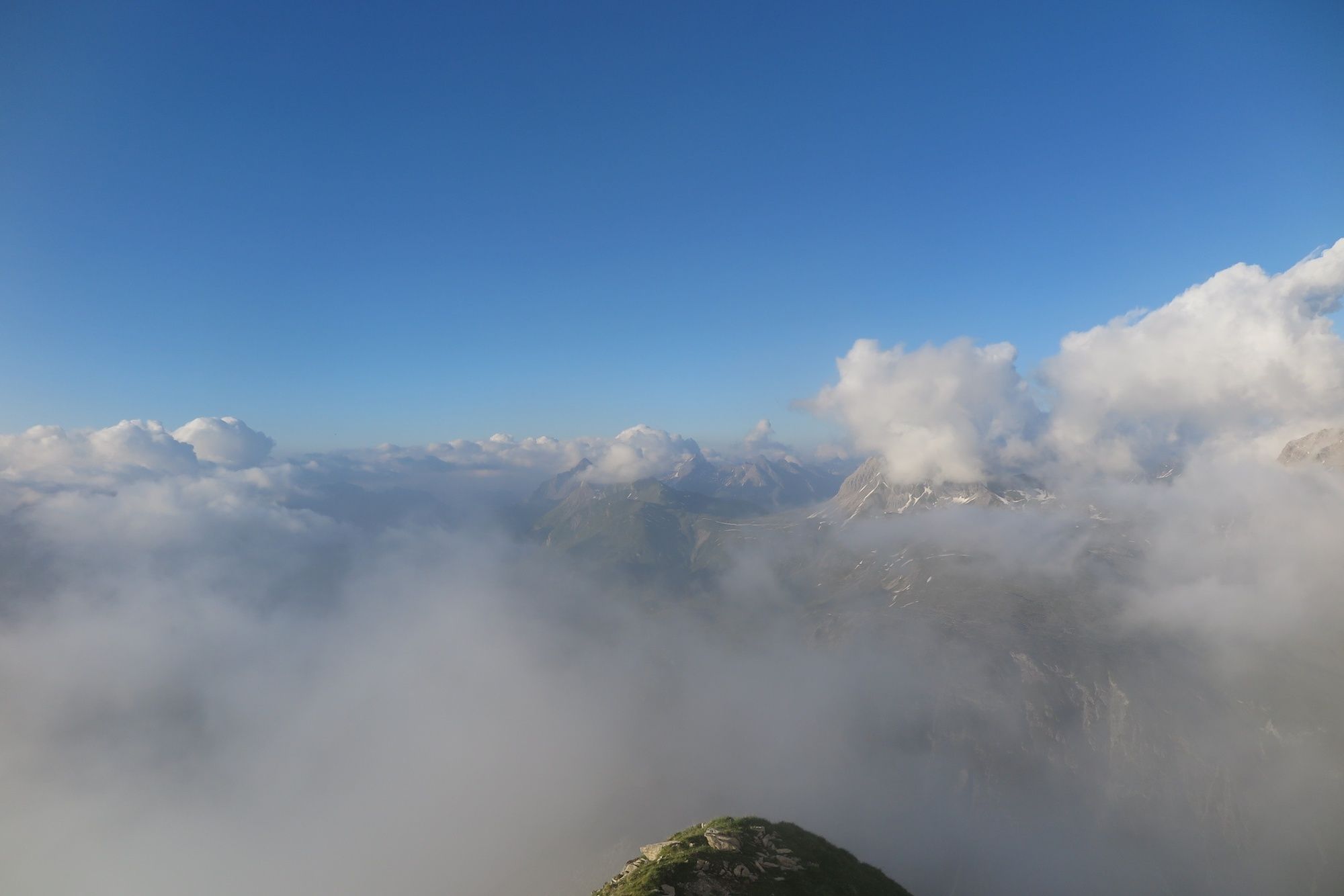
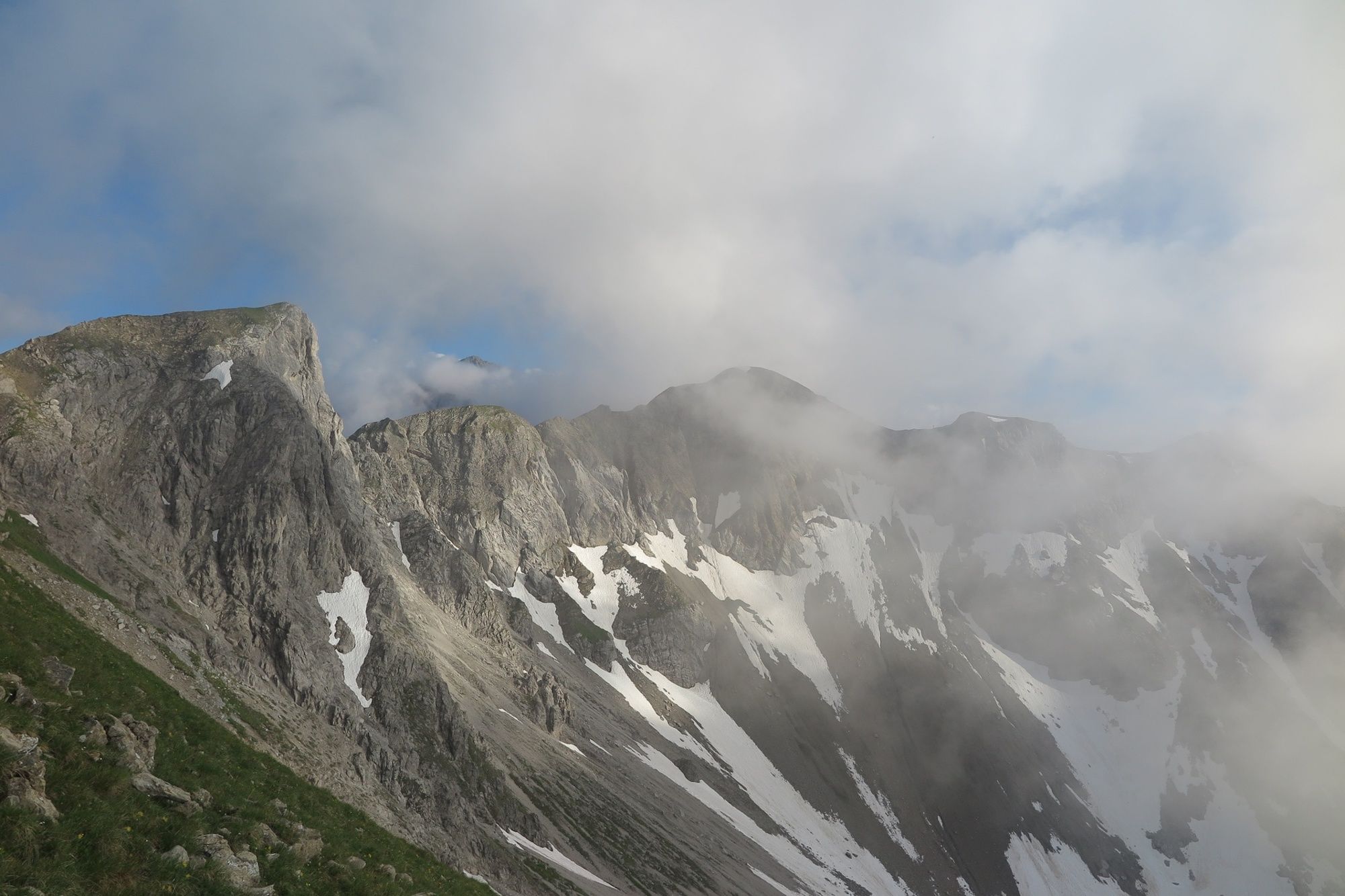
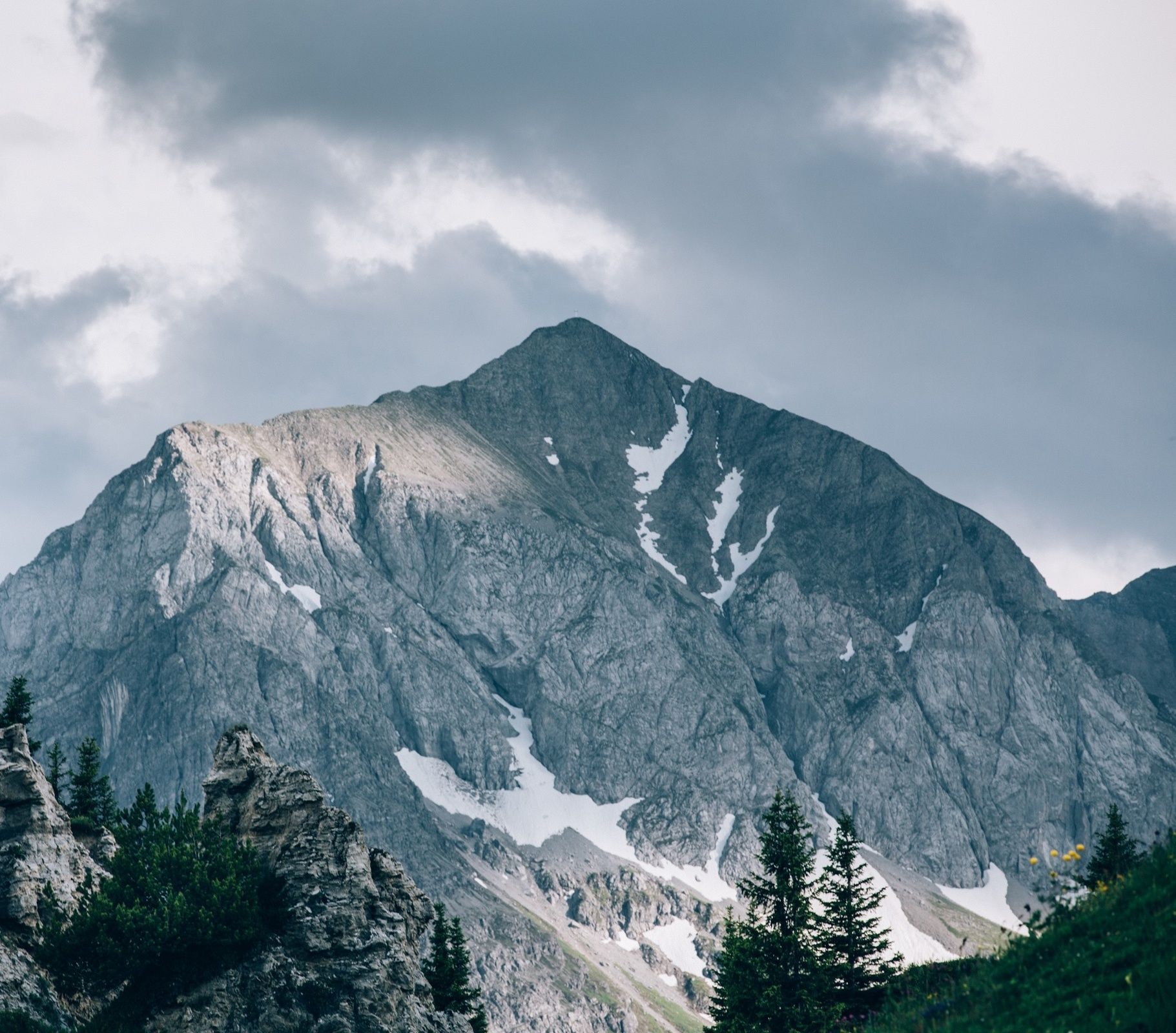
Probably the most striking and famous mountain in the entire region, it is one of the most popular photo motifs in both winter and summer. In summer, a steep hiking trail leads to the summit.
- Difficulté
-
difficile
- Évaluation
-
- Parcours
-
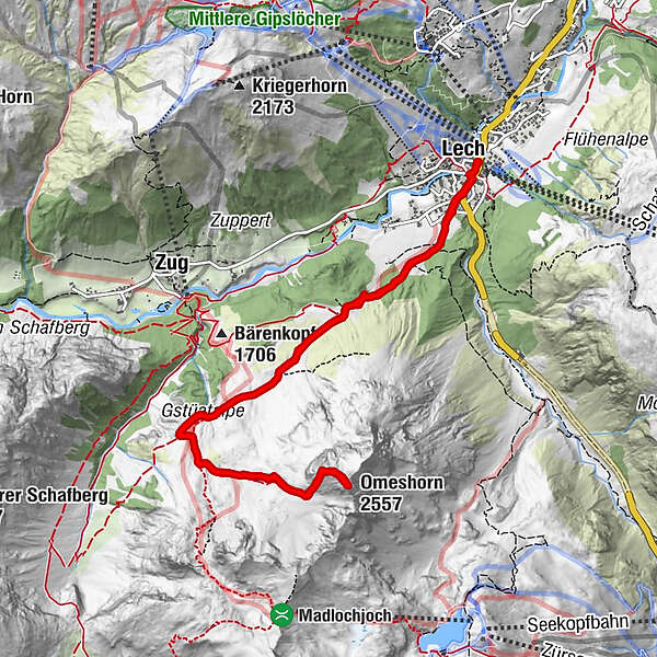
Lech (1.444 m)0,0 kmOmeshorn (2.557 m)5,8 kmLech (1.444 m)11,4 km
- Meilleure saison
-
janv.févr.marsavrilmaijuinjuil.aoûtsept.oct.nov.déc.
- Hauteur maximale
- 2.543 m
- Point de mire
-
Lech town centre
- Profil en hauteur
-


-

-
AuteurLa randonnée Summit ascent Omeshorn est utilisé par outdooractive.com fourni par.
GPS Downloads


Informations générales
Prometteur
Autres parcours dans les régions


