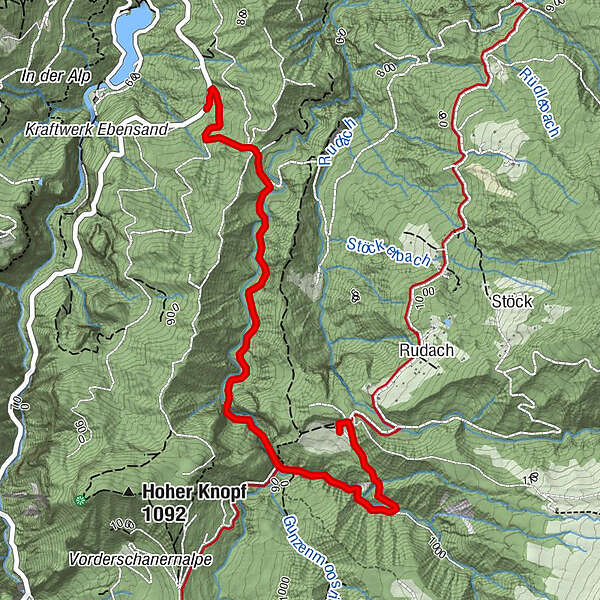
Alpwandern: Dornbirn Niedere - Durchstich - Dannersbruck - Kobelalpe

Randonnée


- Brève description
-
Niedere - Durchstich - Dannersbruck (links abzweigen) - Kobelalpe
- Difficulté
-
facile
- Évaluation
-
- Parcours
-
Kobelalp3,4 km
- Meilleure saison
-
janv.févr.marsavrilmaijuinjuil.aoûtsept.oct.nov.déc.
- Hauteur maximale
- 985 m
- Point de mire
-
Kobelalpe
- Profil en hauteur
-


- Auteur
-
La randonnée Alpwandern: Dornbirn Niedere - Durchstich - Dannersbruck - Kobelalpe est utilisé par outdooractive.com fourni par.
GPS Downloads


Informations générales
Point de rassemblement
Autres parcours dans les régions
-
St. Gallen - Bodensee
2066
-
Bodensee - Vorarlberg
1316
-
Dornbirn
447


