

© Alpenregion Bludenz Tourismus GmbH - Melanie Fleisch

© Alpenregion Bludenz Tourismus GmbH - Melanie Fleisch

© Alpenregion Bludenz Tourismus GmbH - Melanie Fleisch

© Alpenregion Bludenz Tourismus GmbH - Melanie Fleisch

© Alpenregion Bludenz Tourismus GmbH - Melanie Fleisch

© Alpenregion Bludenz Tourismus GmbH - Melanie Fleisch

© Alpenregion Bludenz Tourismus GmbH - Melanie Fleisch

© Vorarlberg Tourismus GmbH
- Brève description
-
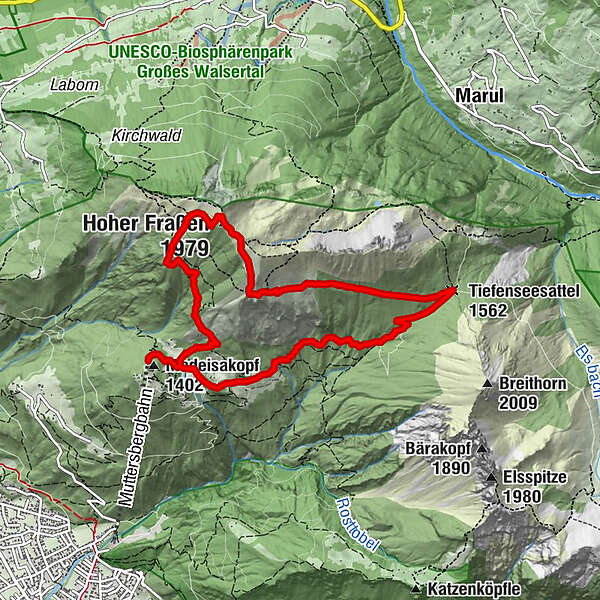
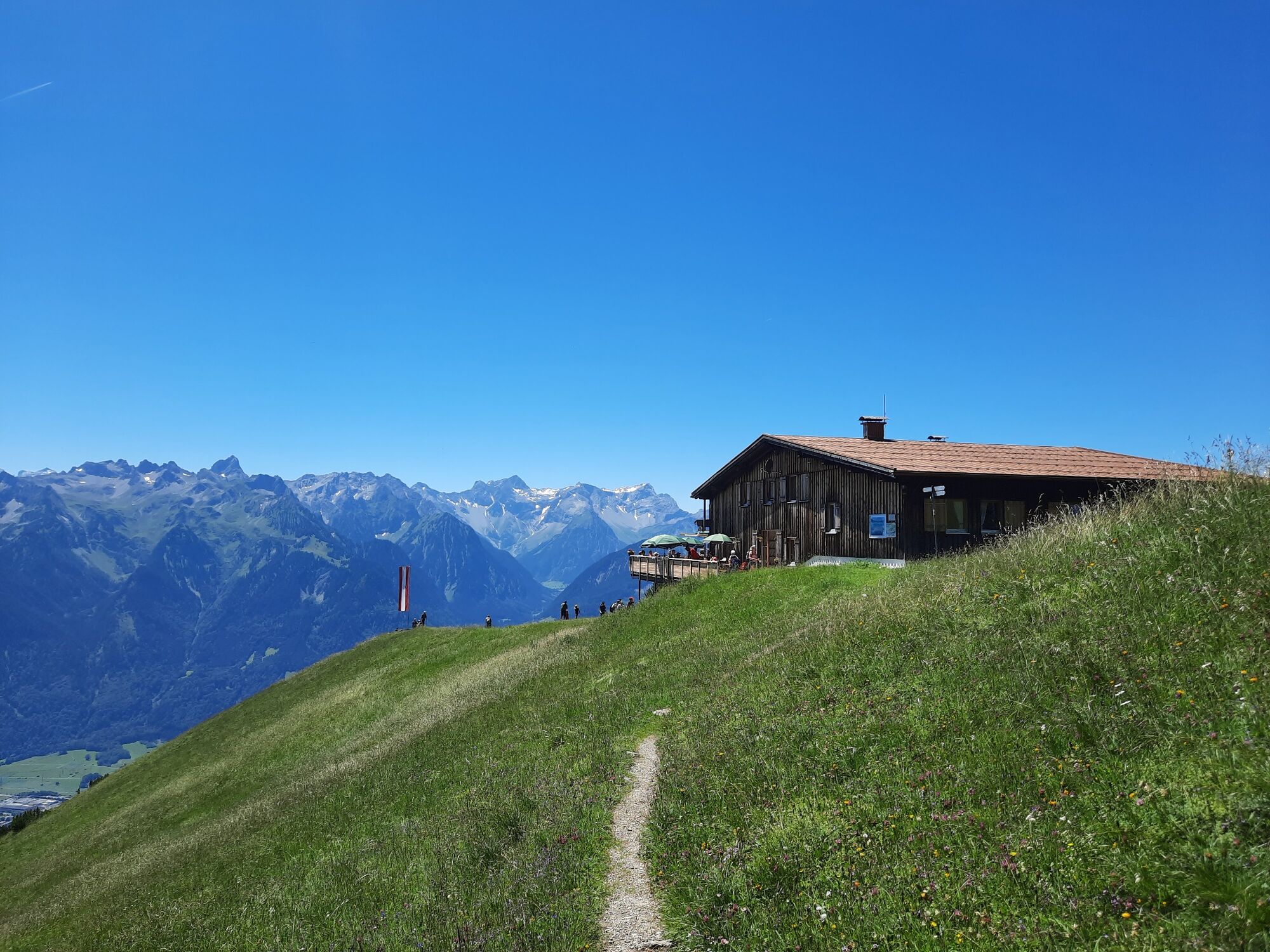
Panoramic mountain with sensational 360° panoramic view. Surrounded by the Ill, the Lutz and the Marulbach, it forms the westernmost corner of the Lechquellen Mountains.
- Difficulté
-
moyen
- Évaluation
-
- Parcours
-
Fraßenhütte2,0 kmHoher Fraßen (1.979 m)2,9 kmTiefenseesattel (1.562 m)5,2 kmMuttersberg8,4 kmMadeisakopf (1.402 m)9,1 km
- Meilleure saison
-
janv.févr.marsavrilmaijuinjuil.aoûtsept.oct.nov.déc.
- Hauteur maximale
- 1.969 m
- Point de mire
-
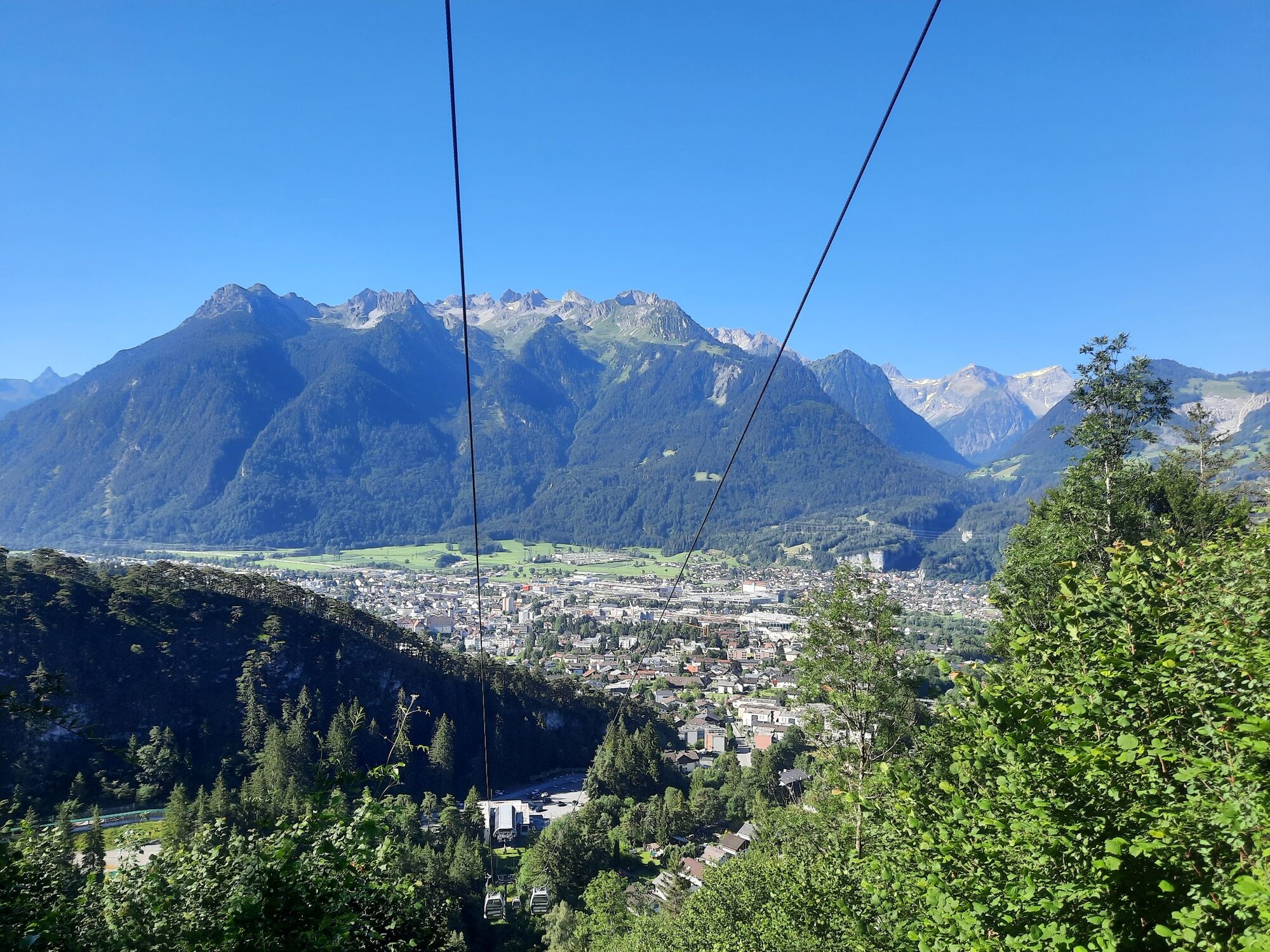
Muttersberg Cable Car mountain station, Bludenz
- Profil en hauteur
-


- Auteur
-
La randonnée Hoher Fraßen, 1.979 m | Bludenz-Nüziders est utilisé par outdooractive.com fourni par.
GPS Downloads


Informations générales
Point de rassemblement
Prometteur
Autres parcours dans les régions
-
St. Gallen - Bodensee
2066
-
Alpenstadt Bludenz
1848
-
Muttersberg - Bludenz
499


