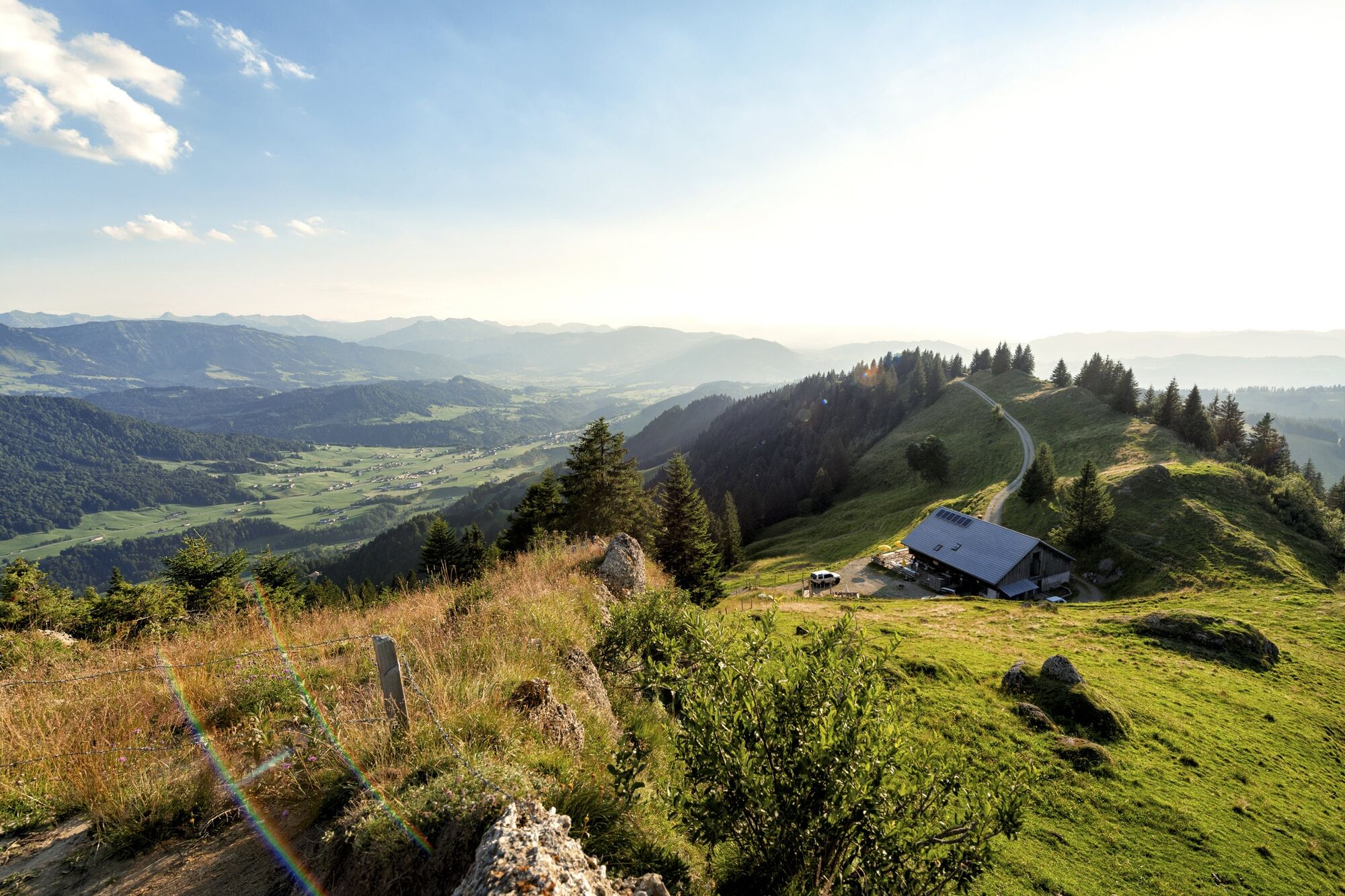
Hittisau | along the Nagelfluh rock face on Hochhäderich

Randonnée

© Bregenzerwald Tourismus - Johannes Fink

© Bregenzerwald Tourismus - Johannes Fink

© Bregenzerwald Tourismus - Johannes Fink

© Bregenzerwald Tourismus - Johannes Fink

© Bregenzerwald Tourismus - Elisabeth Schneider

© Alpe Loch - Magdalena Fuchs

© Alpe Loch - Magdalena Fuchs

- Brève description
-
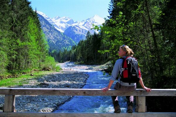
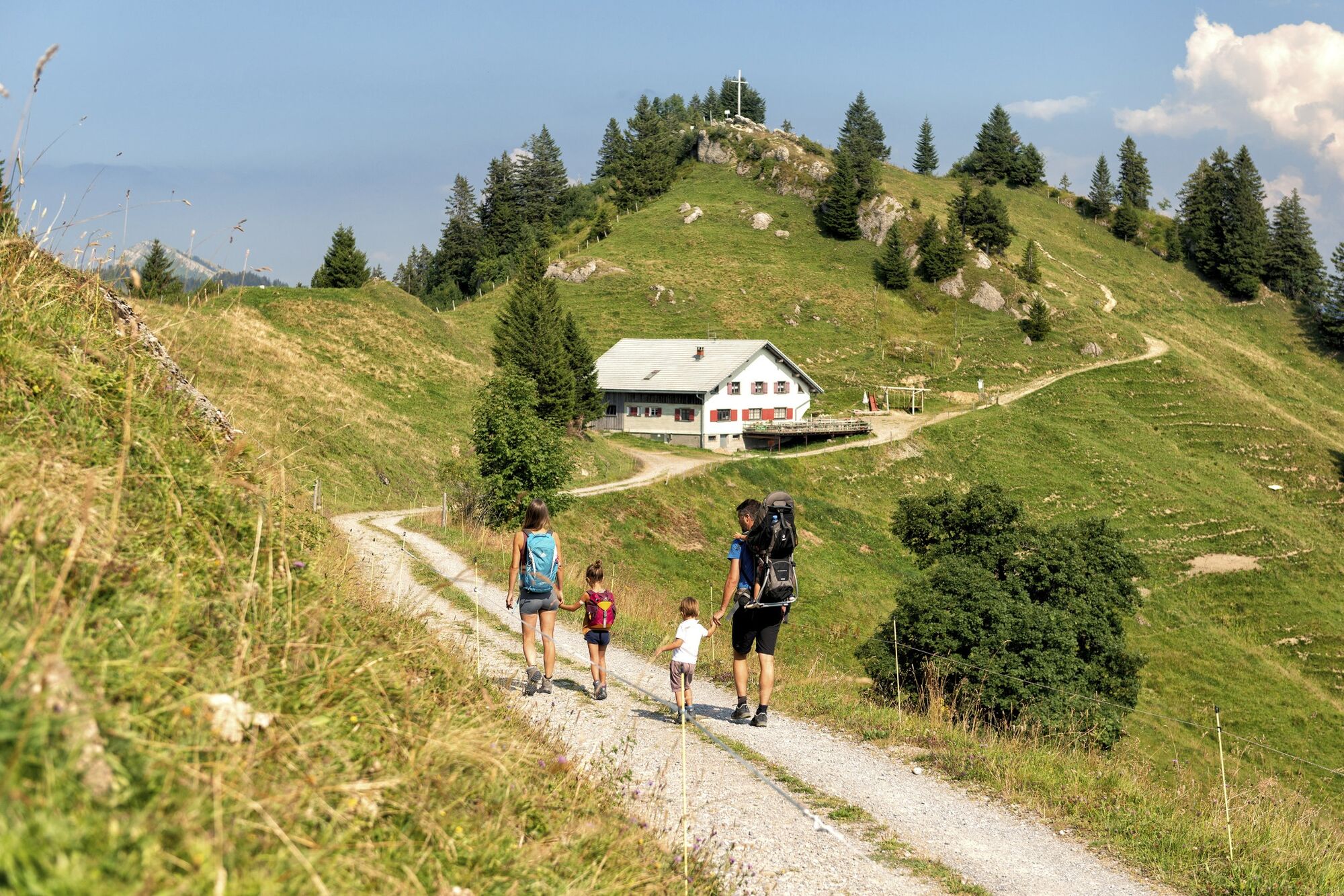
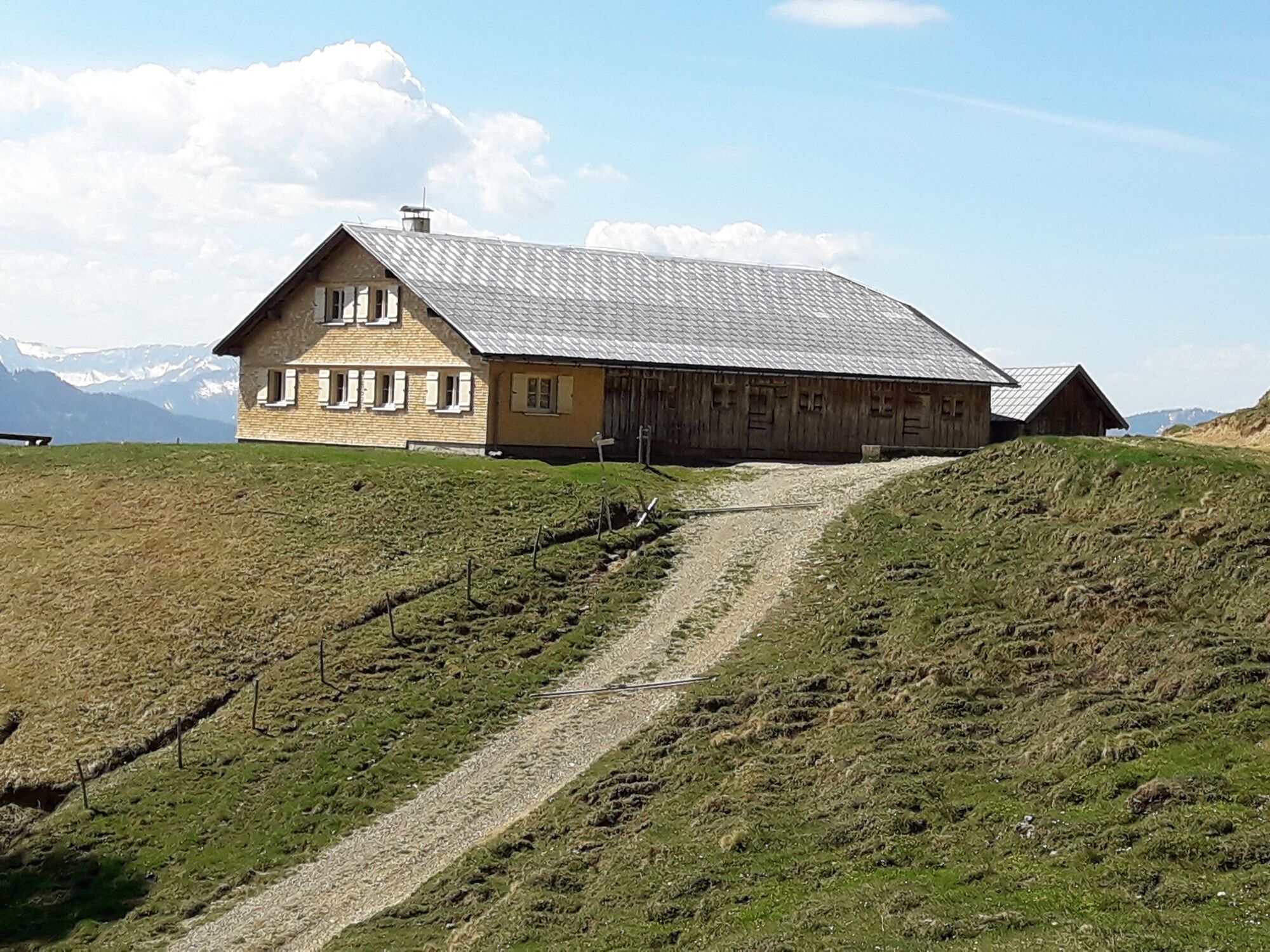
This mountain tour takes you to the most significant summit of the lower Bregenzerwald, the Hochhäderich.
- Difficulté
-
moyen
- Évaluation
-
- Parcours
-
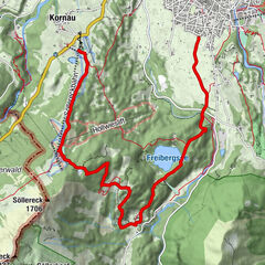
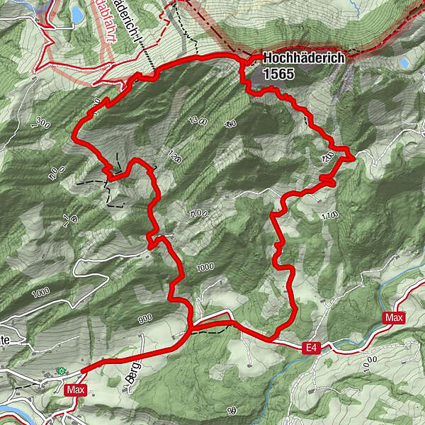
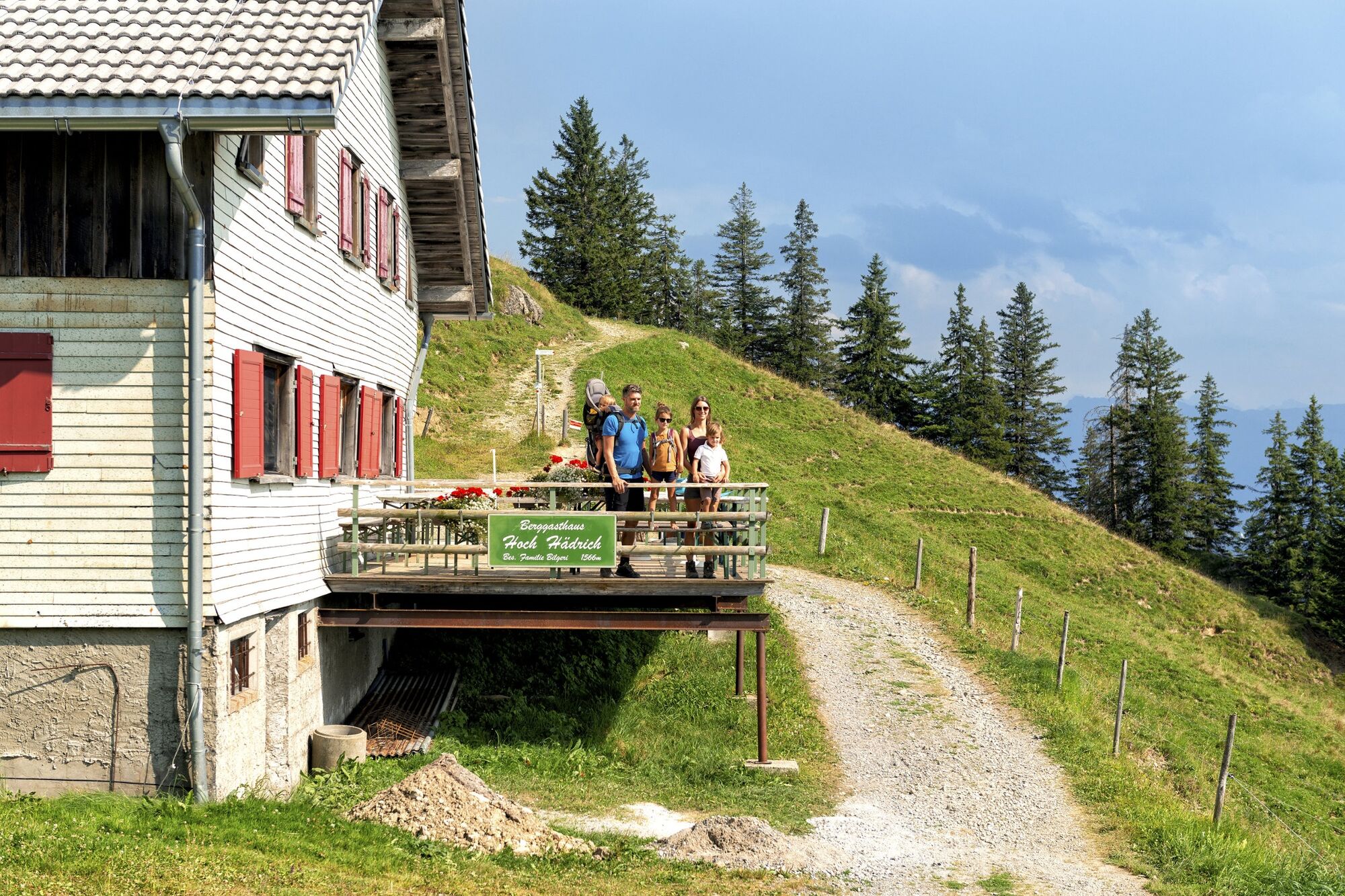
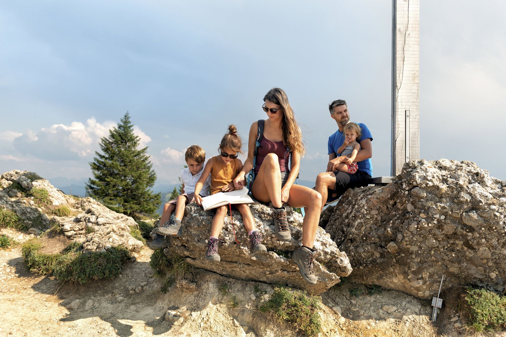
Alpenrose0,0 kmBerggaststätte Hoch Häderich4,2 kmHochhäderich (1.565 m)4,5 kmAlpenrose8,9 km
- Meilleure saison
-
janv.févr.marsavrilmaijuinjuil.aoûtsept.oct.nov.déc.
- Hauteur maximale
- 1.557 m
- Point de mire
-
Hittisau-Reute
- Profil en hauteur
-


- Auteur
-
La randonnée Hittisau | along the Nagelfluh rock face on Hochhäderich est utilisé par outdooractive.com fourni par.
GPS Downloads


Informations générales
Point de rassemblement
Prometteur
Autres parcours dans les régions
-
Allgäu
2367
-
Bregenzerwald
2296
-
Hittisau
704