

© Warth-Schröcken Tourismus - Sebastian Stiphout

© Warth-Schröcken Tourismus - Sebastian Stiphout

© Warth-Schröcken Tourismus - Sebastian Stiphout

© Warth-Schröcken Tourismus - Sebastian Stiphout

- Brève description
-
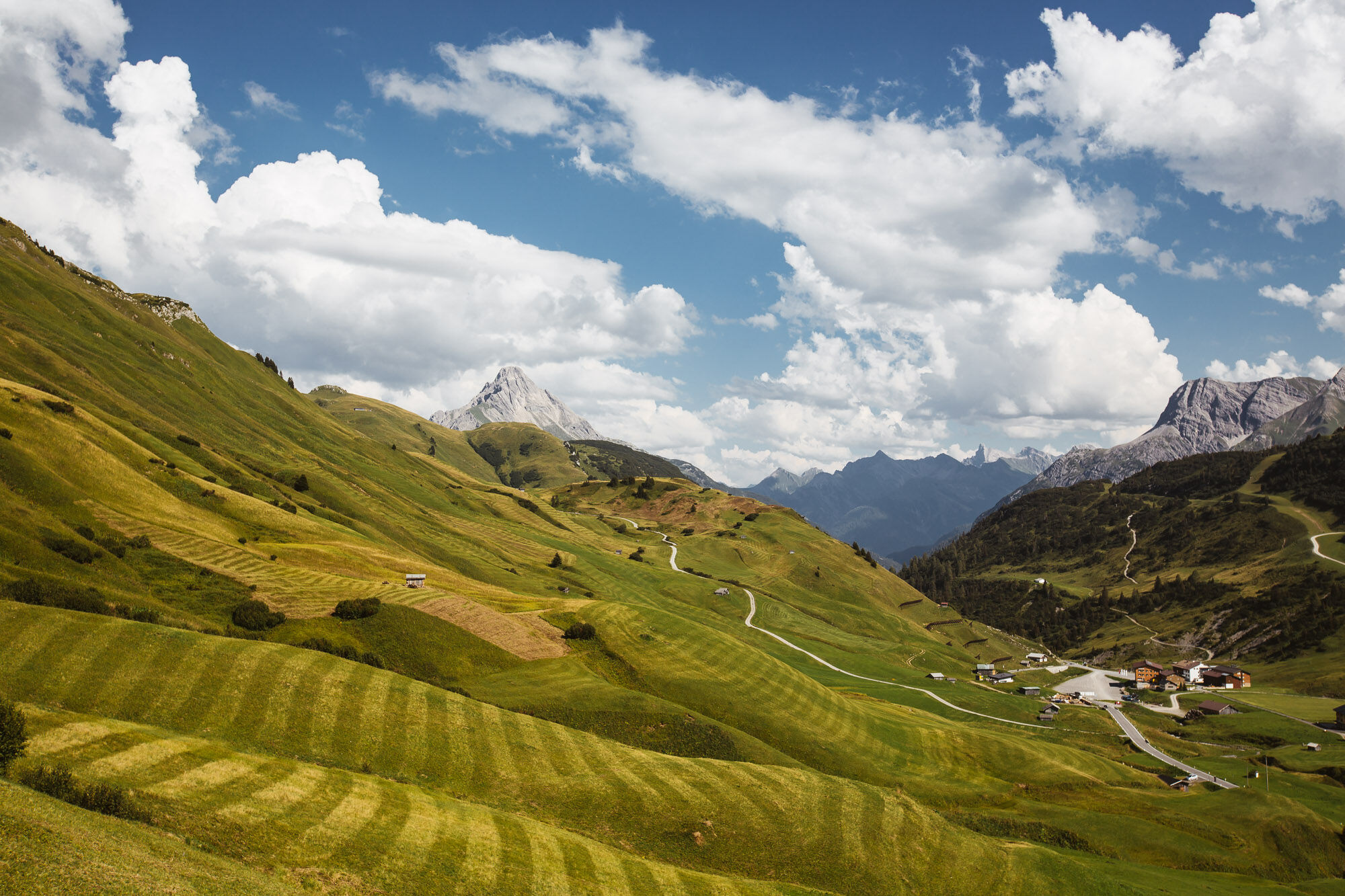
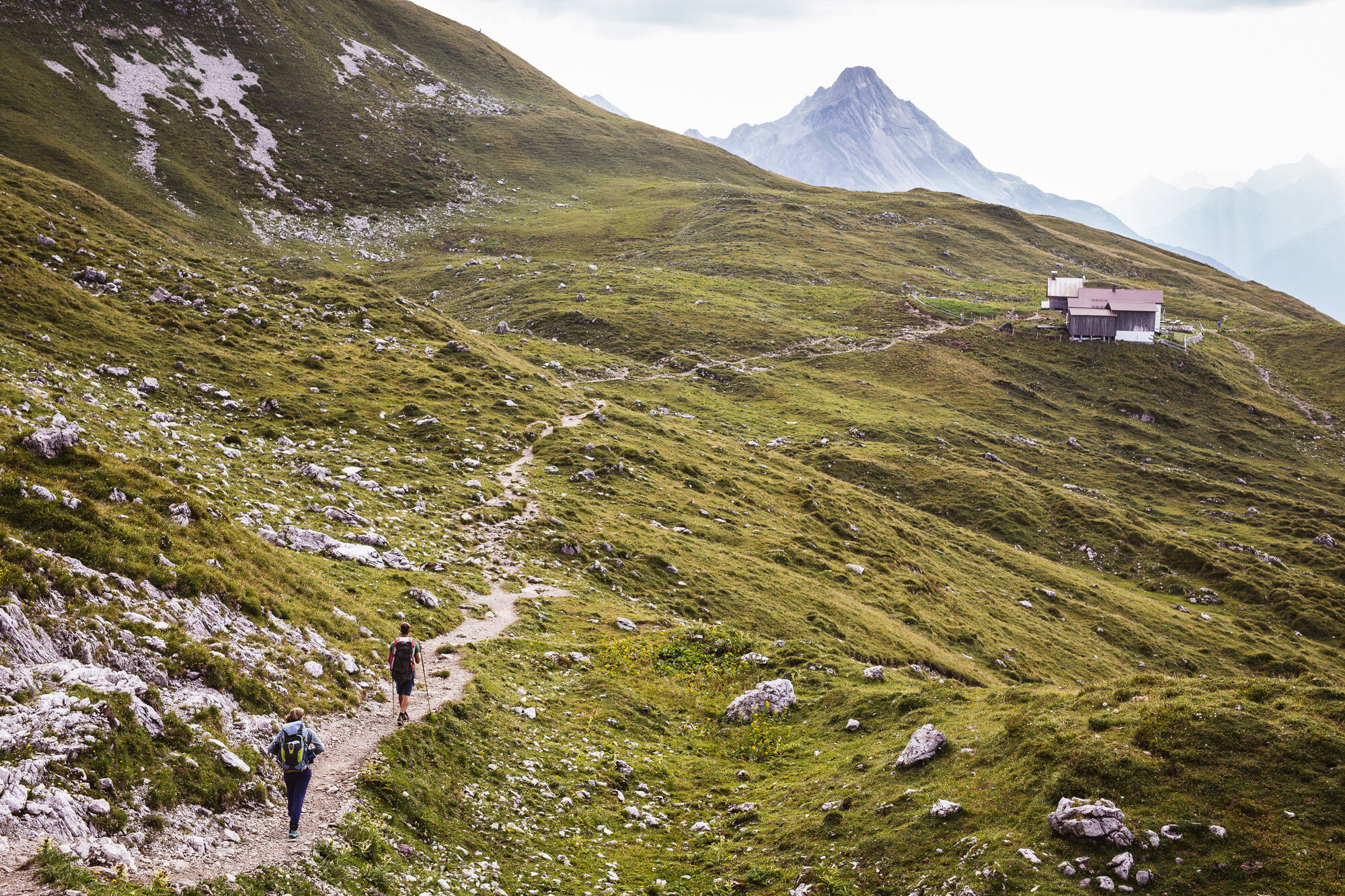
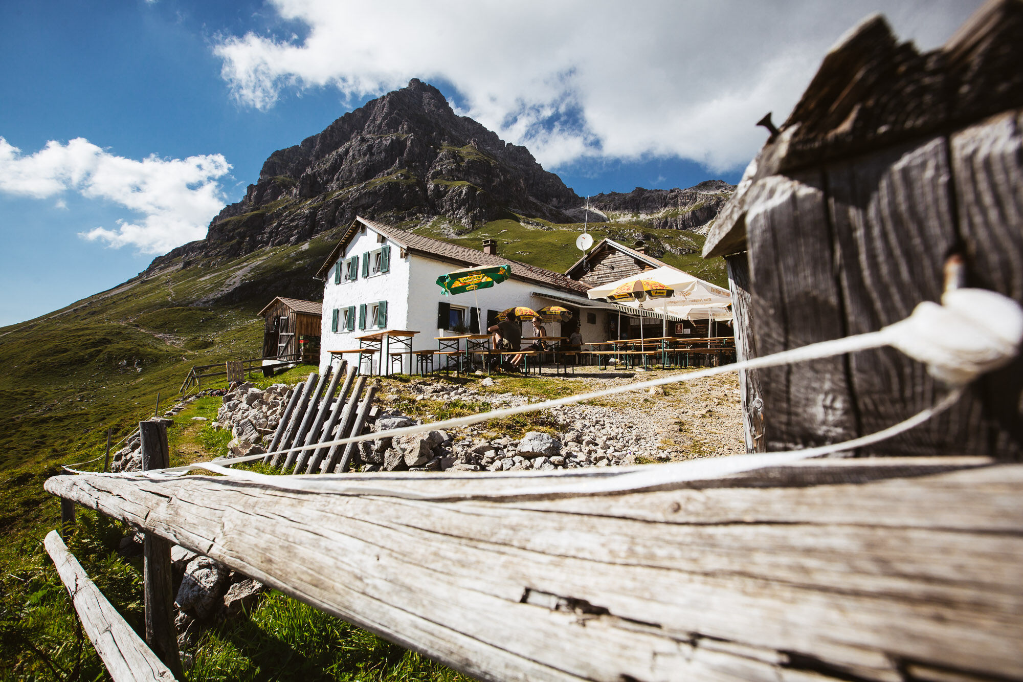
Walk over fairy-tale terrain over the Tschirggen towards Hirschgehrenalpe. You crossed the first brook? Now it goes up the steep path to the left until it gets a little flatter again. Just take a little break here before the path goes left again towards Mindelheimerhütte. The Mindelheimerhütte invites you to linger. The path leads you back through the Rappenalptal and then over the Schrofenpass. Once again on Austrian soil, the hiking trail leads over flat alpine meadows to Lechleiten.
- Difficulté
-
difficile
- Évaluation
-
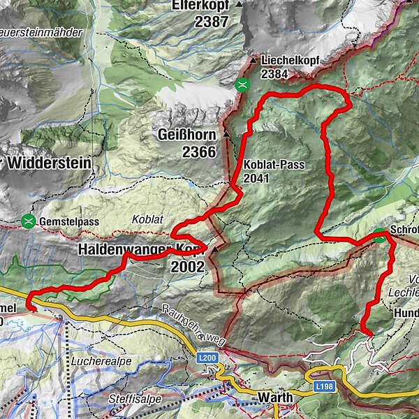
- Parcours
-
HochkrumbachKoblat-Pass (2.041 m)4,4 kmMindelheimer Hütte6,9 km
- Meilleure saison
-
janv.févr.marsavrilmaijuinjuil.aoûtsept.oct.nov.déc.
- Hauteur maximale
- 2.178 m
- Point de mire
-
Lechleiten
- Profil en hauteur
-


- Auteur
-
La randonnée Mindelheimer hut est utilisé par outdooractive.com fourni par.
GPS Downloads


Informations générales
Point de rassemblement
Prometteur
Autres parcours dans les régions
-
Kleinwalsertal
2054
-
Mittelberg
600


