

© Alpenregion Bludenz Tourismus GmbH - Thorsten Guenthert / www.best-mountain-artists.de

© Alpenregion Bludenz Tourismus GmbH - Thorsten Guenthert / www.best-mountain-artists.de

© Alpenregion Bludenz Tourismus GmbH - Thorsten Guenthert / www.best-mountain-artists.de

© Alpenregion Bludenz Tourismus GmbH - Melanie Fleisch

© Alpenregion Bludenz Tourismus GmbH - Thorsten Guenthert / www.best-mountain-artists.de

© Vorarlberg Tourismus GmbH
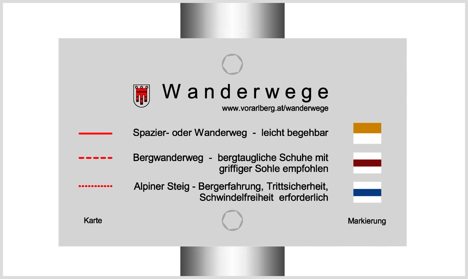
- Brève description
-
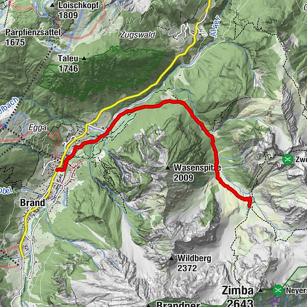
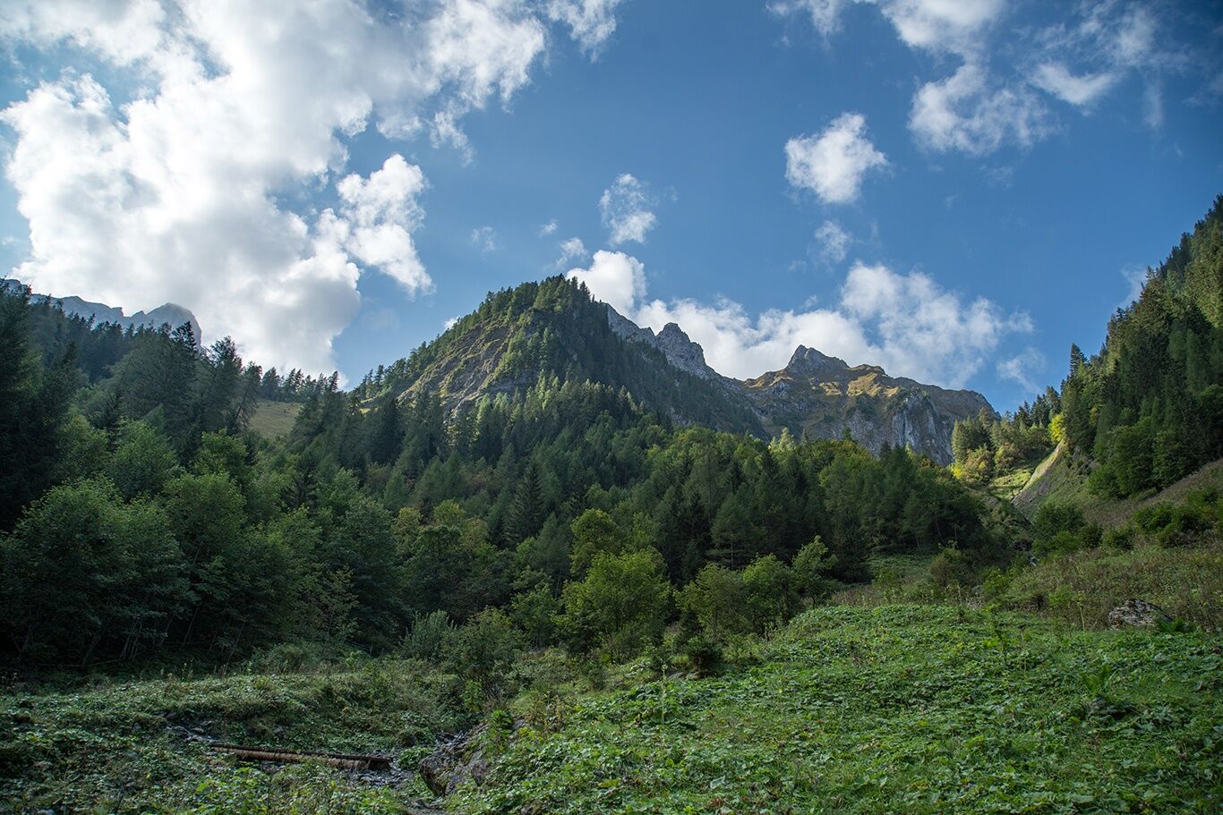
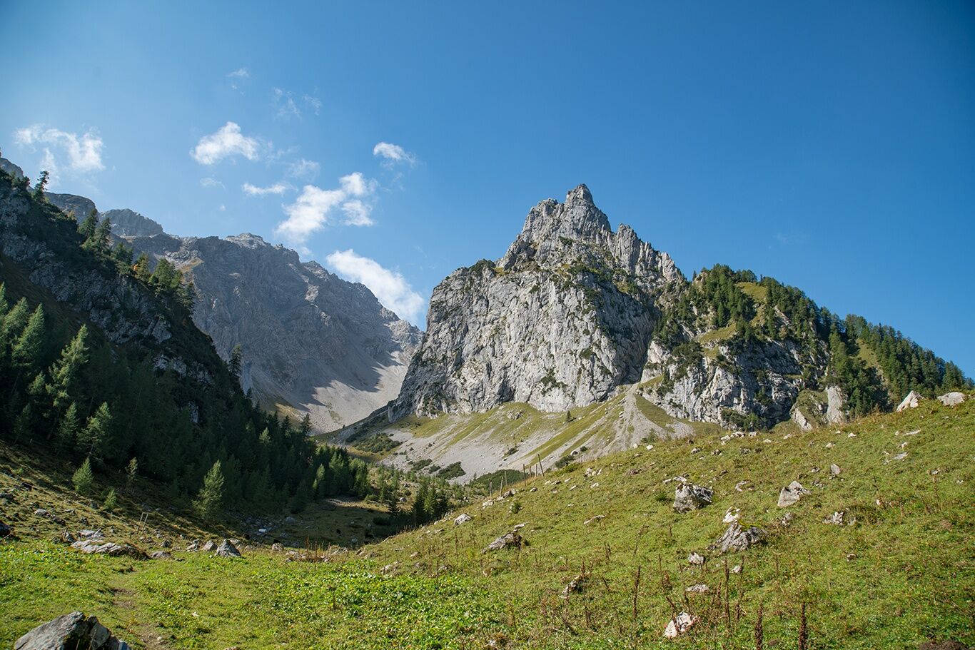
At the foot of the Zimba, the Zwölferkopf and the Gottvaterspitze lies the rustic Sarotla Hut at the end of the Sarotla Valley.
- Difficulté
-
moyen
- Évaluation
-
- Parcours
-
Sarotlahütte5,5 km
- Meilleure saison
-
janv.févr.marsavrilmaijuinjuil.aoûtsept.oct.nov.déc.
- Hauteur maximale
- 1.602 m
- Point de mire
-
Village center, Brand
- Profil en hauteur
-


- Auteur
-
La randonnée To the Sarotla Hut | Brand est utilisé par outdooractive.com fourni par.
GPS Downloads


Informations générales
Point de rassemblement
Prometteur
Autres parcours dans les régions
-
Heidiland
2207
-
Brandnertal
1569
-
Brand
433


