

© best mountain artist - Thorsten Günthert

© best mountain artist - Thorsten Günthert

© best mountain artist - Thorsten Günthert

© best mountain artist - Thorsten Günthert

© best mountain artist - Thorsten Günthert

© Vorarlberg Tourismus GmbH
- Brève description
-
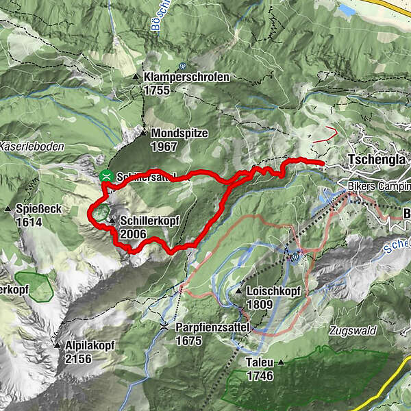
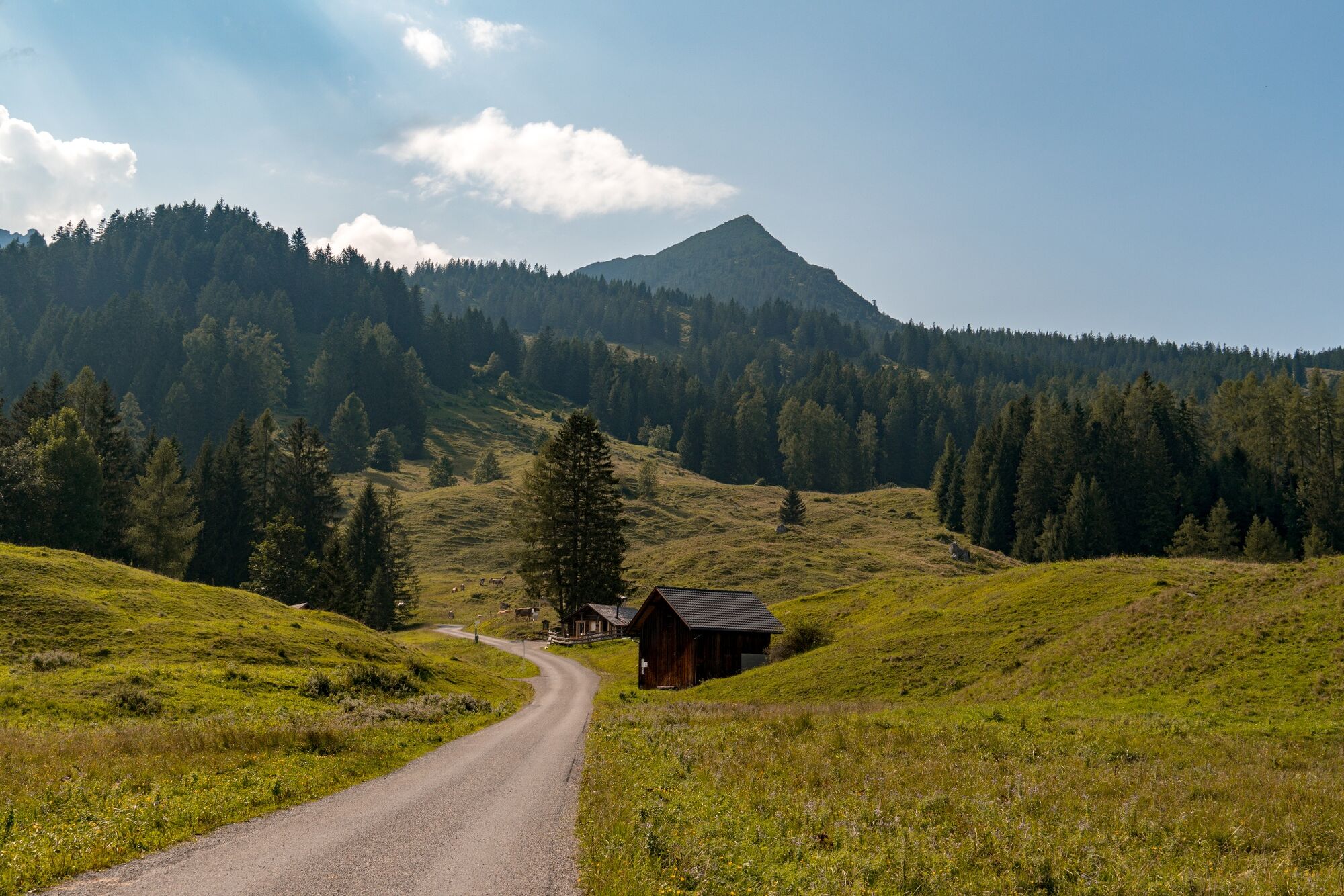
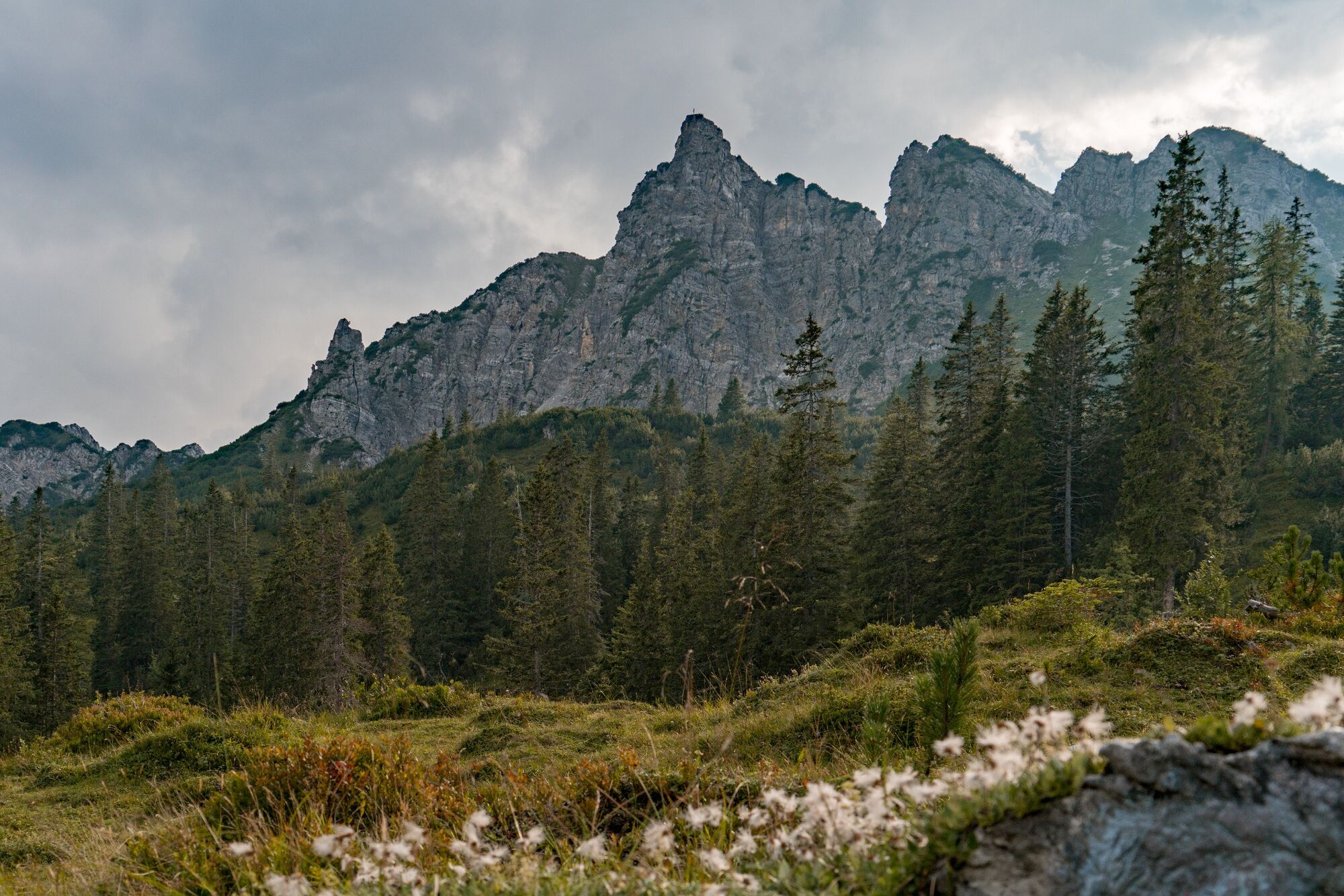
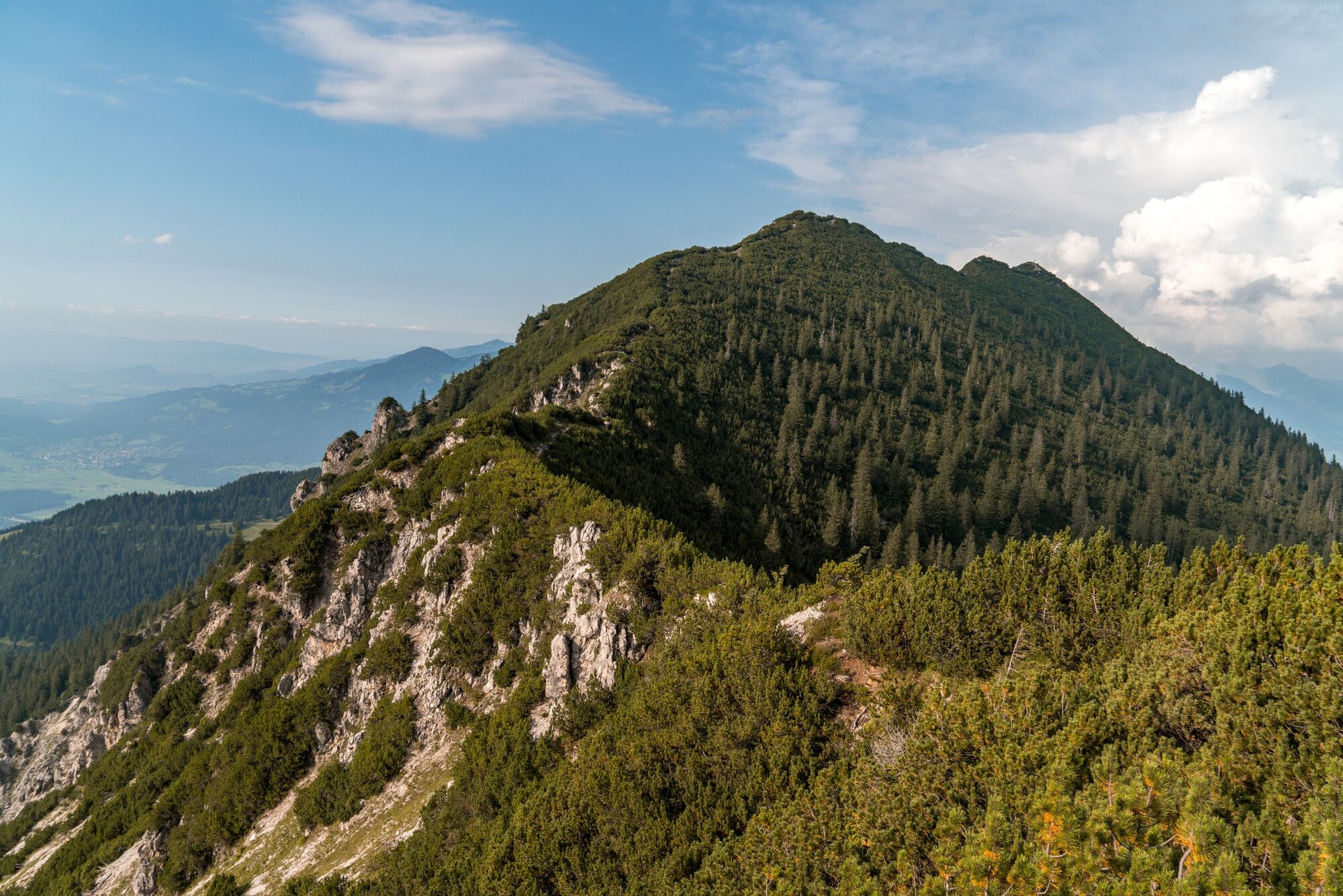
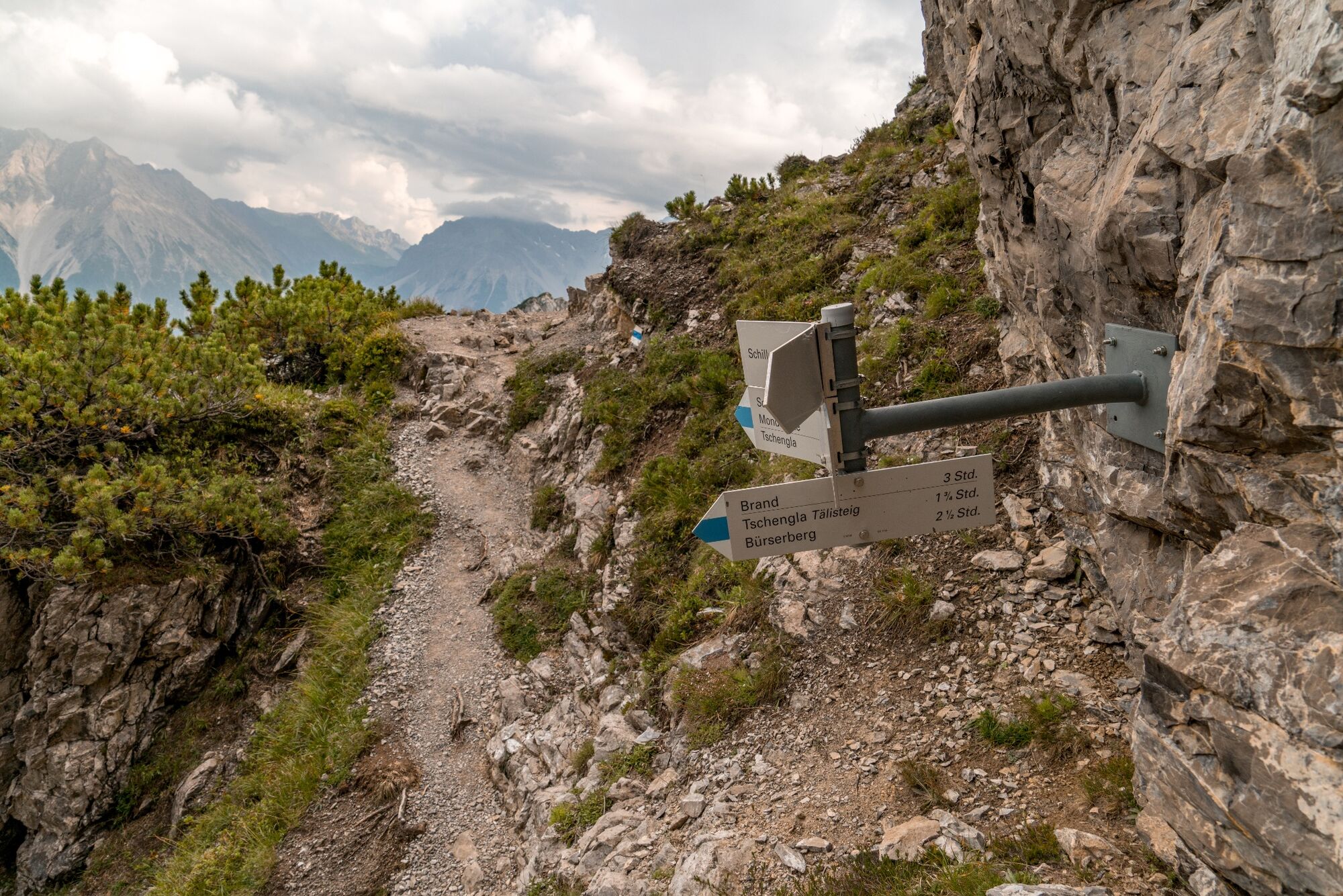
A varied mountain hike across meadows, through woods and over rocky terrain up to the 2,006 m high Schillerkopf.
- Difficulté
-
moyen
- Évaluation
-
- Parcours
-
Schillerkopf (2.006 m)4,4 km
- Meilleure saison
-
janv.févr.marsavrilmaijuinjuil.aoûtsept.oct.nov.déc.
- Hauteur maximale
- 1.965 m
- Point de mire
-
Hiking parking lot Tschengla, Bürserberg
- Profil en hauteur
-


- Auteur
-
La randonnée Schillerkopf, 2.006 m | Bürserberg est utilisé par outdooractive.com fourni par.
GPS Downloads


Informations générales
Prometteur
Autres parcours dans les régions
-
St. Gallen - Bodensee
2067
-
Brandnertal
1568
-
Brand
431


