© Bregenzerwald Tourismus - Nadine Lerho

© Bregenzerwald Tourismus GmbH - Teresa Meusburger

© Bregenzerwald Tourismus - Nadine Lerho

© Bregenzerwald Tourismus - Cornelia Kriegner

© Gemeinde Alberschwende - Karin Hillebrand

- Brève description
-
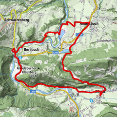
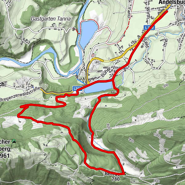
Fairly demanding trail run with an elevation gain of approx. 250 metres from Andelsbuch to the Bezegg.
- Parcours
-
AndelsbuchPizzeria La Montanara0,0 kmUnterbezegg0,9 kmBersbuch (634 m)2,9 kmBezegg (780 m)5,1 kmUnterbezegg7,4 kmAndelsbuch8,0 kmPizzeria La Montanara8,2 km
- Meilleure saison
-
janv.févr.marsavrilmaijuinjuil.aoûtsept.oct.nov.déc.
- Hauteur maximale
- 861 m
- Point de mire
-
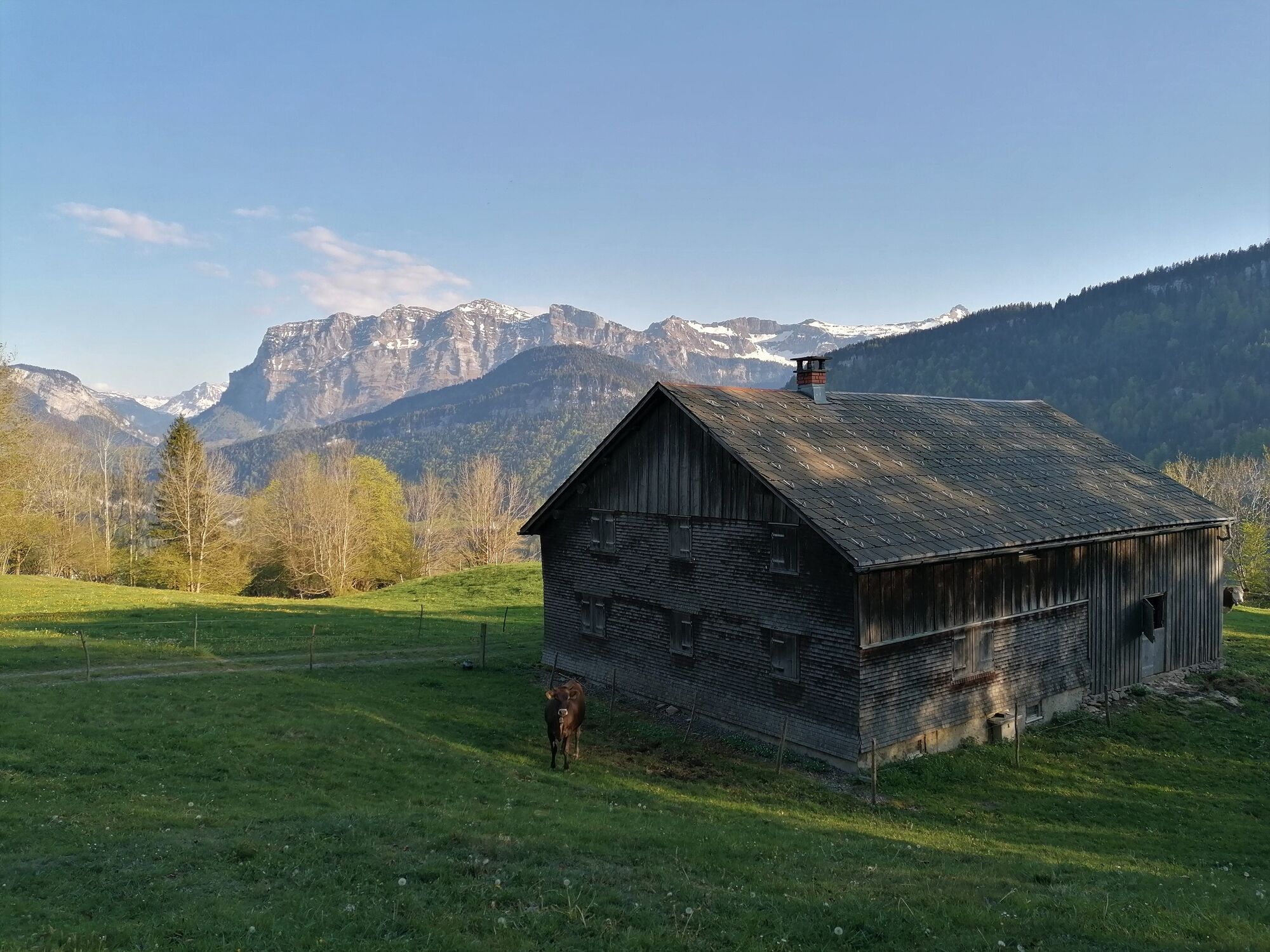
Village square Andelsbuch
- Profil en hauteur
-


- Auteur
-
La randonnée Andelsbuch | Forest run est utilisé par outdooractive.com fourni par.
GPS Downloads


Informations générales
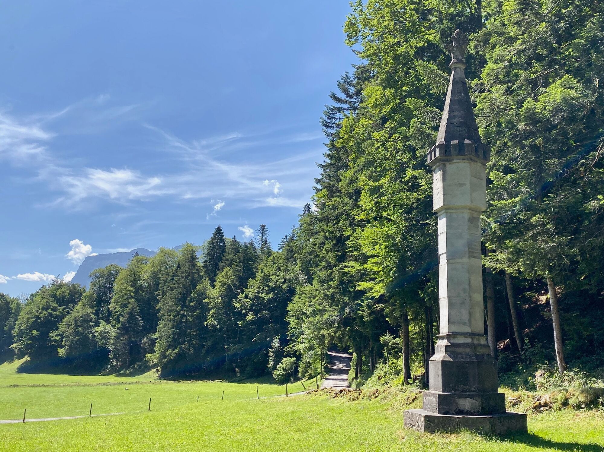
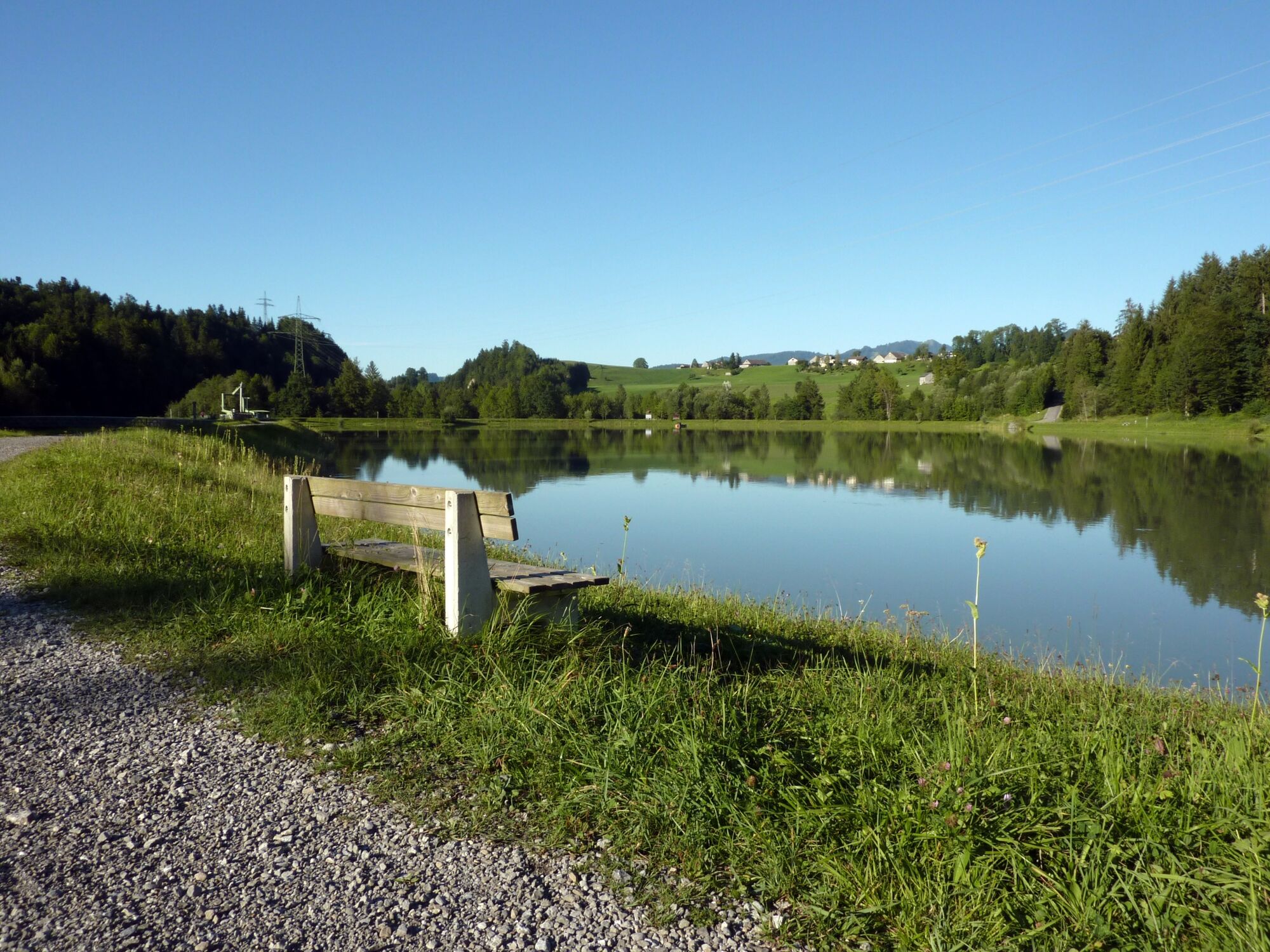
Point de rassemblement
Culturel/Historiquement
Autres parcours dans les régions
-
St. Gallen - Bodensee
23
-
Bregenzerwald
46
-
Andelsbuch
12