© Bregenzerwald Tourismus - Cornelia Kriegner

© Bregenzerwald Tourismus - Cornelia Kriegner

© Bregenzerwald Tourismus - Cornelia Kriegner

© Bregenzerwald Tourismus - Cornelia Kriegner

© Bregenzerwald Tourismus - Cornelia Kriegner

© Bregenzerwald Tourismus - Cornelia Kriegner

- Brève description
-
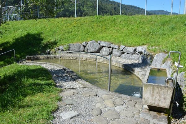
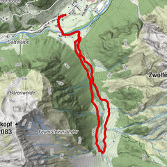
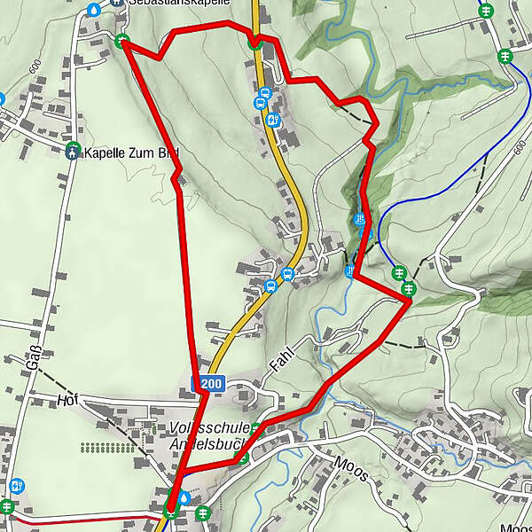
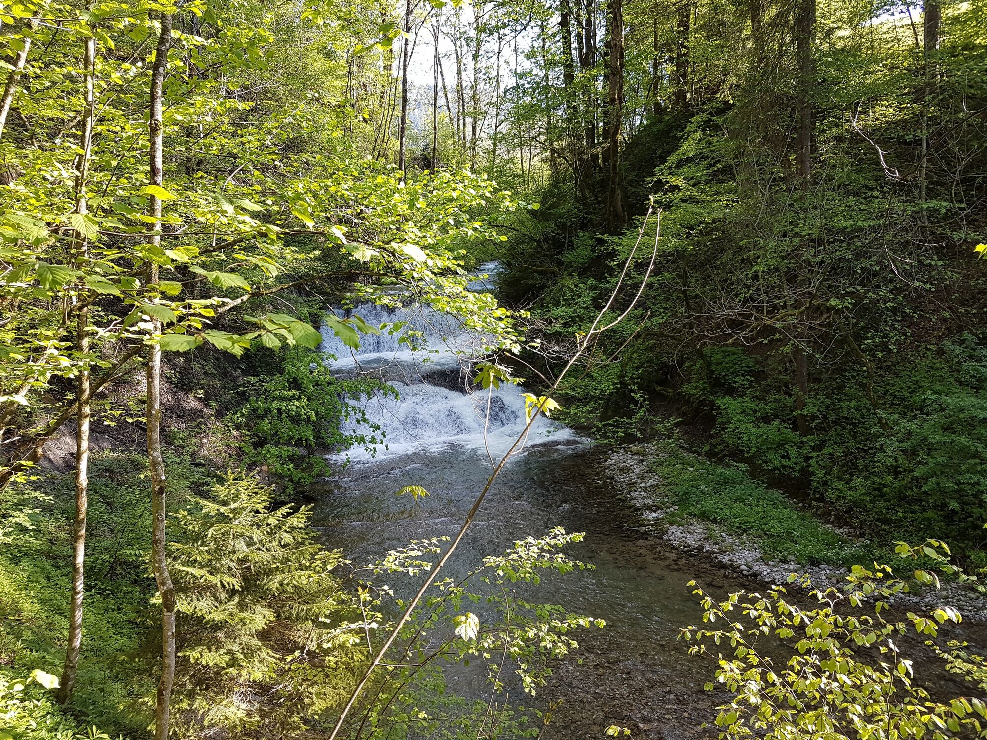
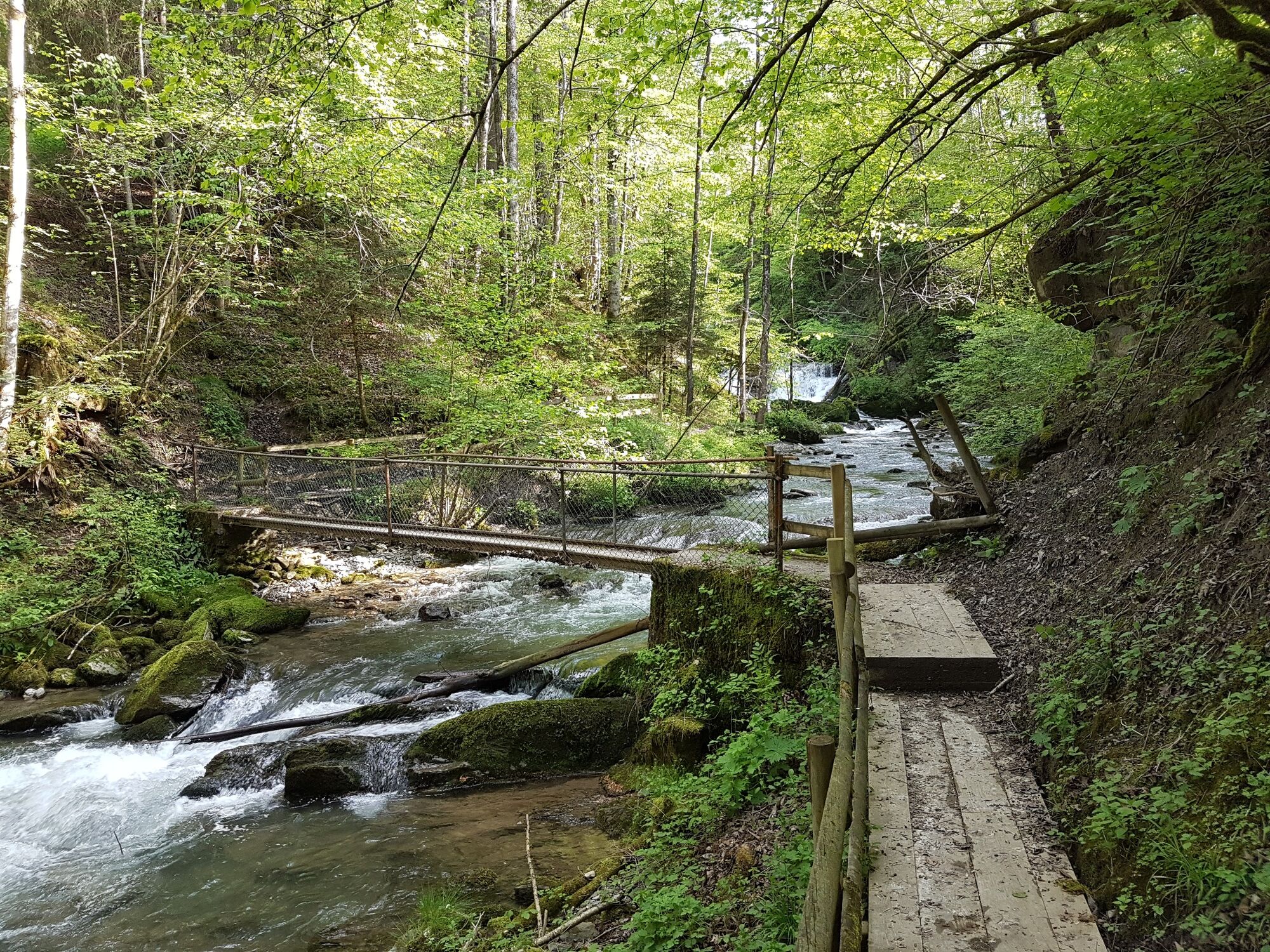
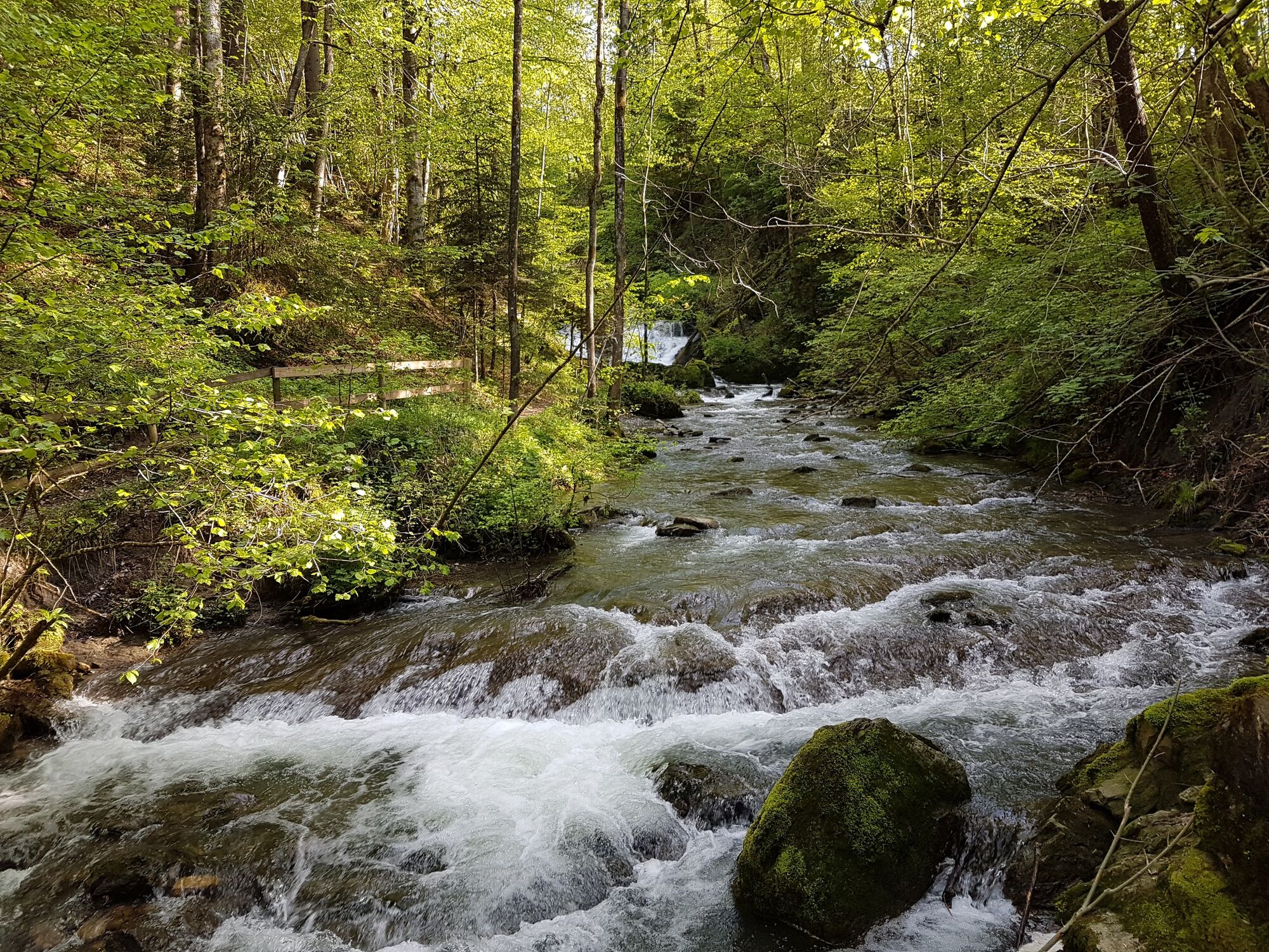
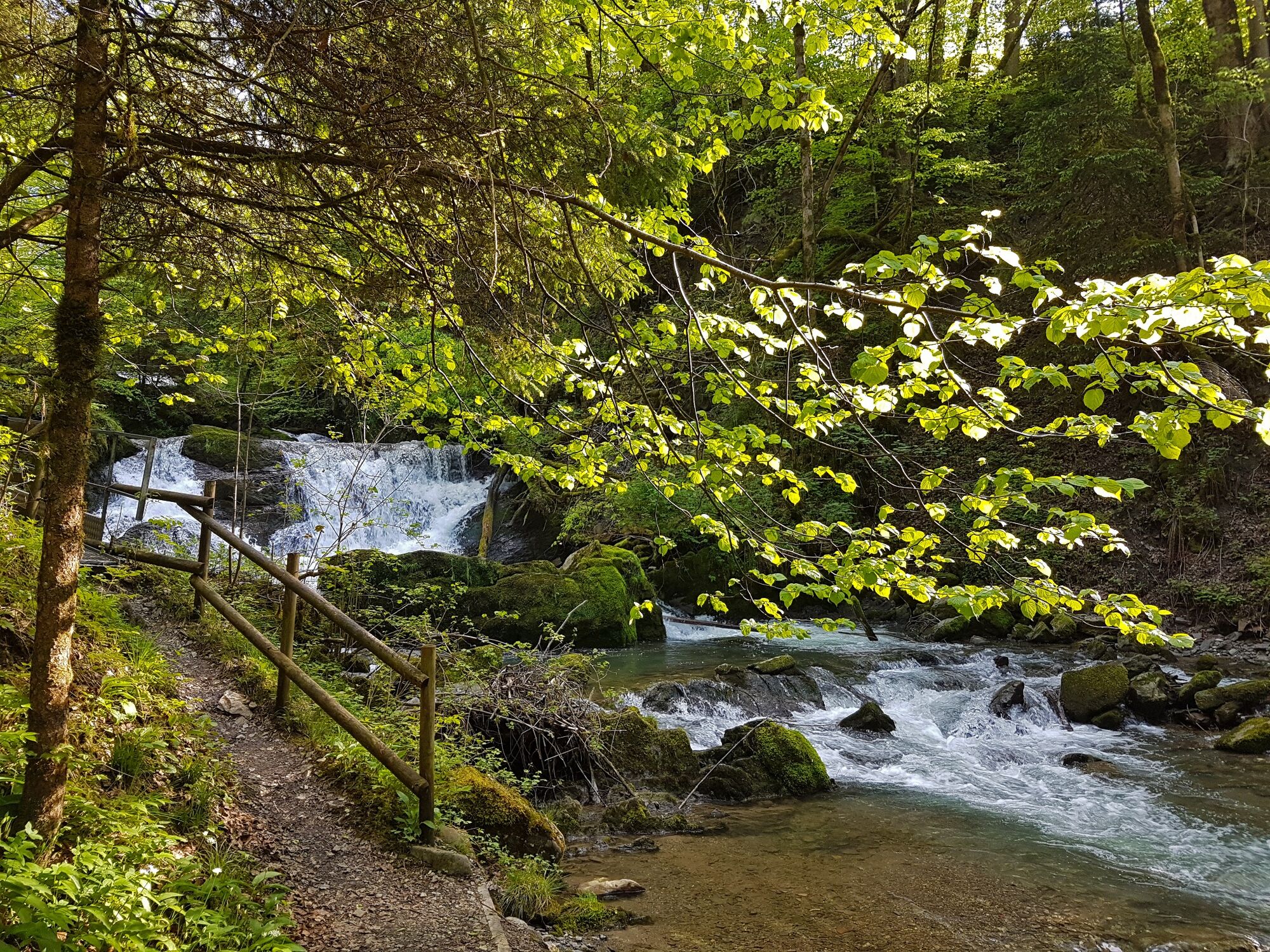
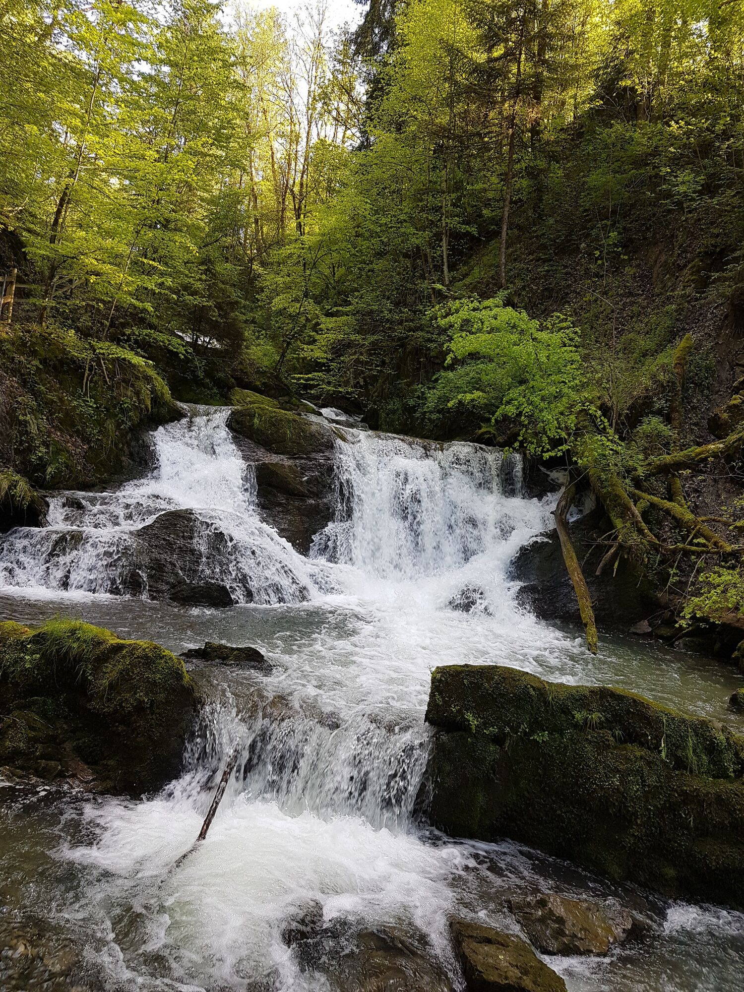
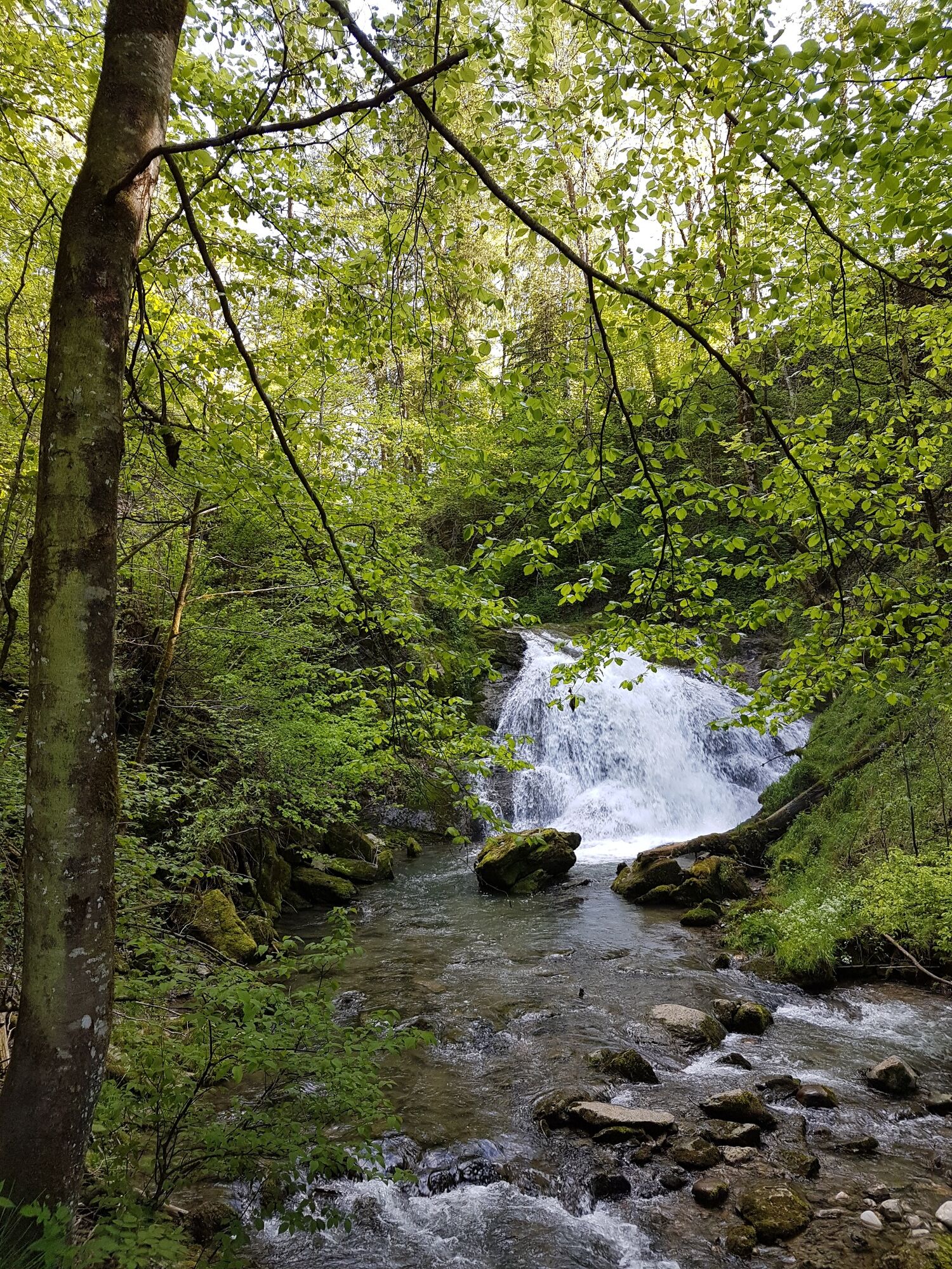
The trails runs through the light-flooded beech forest into the gorge formed by the stream that runs through the village of Andelsbuch. There are waterfalls to admire there.
- Difficulté
-
facile
- Évaluation
-
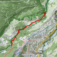
- Parcours
-
AndelsbuchPfarrkirche Andelsbuch0,0 kmWasserfälle Brühlbach0,9 km
- Meilleure saison
-
janv.févr.marsavrilmaijuinjuil.aoûtsept.oct.nov.déc.
- Hauteur maximale
- 613 m
- Point de mire
-
Andelsbuch Church
- Profil en hauteur
-

- Auteur
-
La randonnée Andelsbuch I trails leading to water est utilisé par outdooractive.com fourni par.
GPS Downloads


Autres parcours dans les régions
-
St. Gallen - Bodensee
2070
-
Bregenzerwald
2295
-
Andelsbuch
669