© Kleinwalsertal Tourismus eGen | @Fotograf: Urs Golling

© Kleinwalsertal Tourismus eGen | @Fotograf: Urs Golling

© Kleinwalsertal Tourismus eGen | @Fotograf: Urs Golling

© Kleinwalsertal Tourismus eGen | @Fotograf: Urs Golling

© Kleinwalsertal Tourismus eGen | @Fotograf: Urs Golling

© Kleinwalsertal Tourismus eGen | @Fotograf: Urs Golling


- Brève description
-
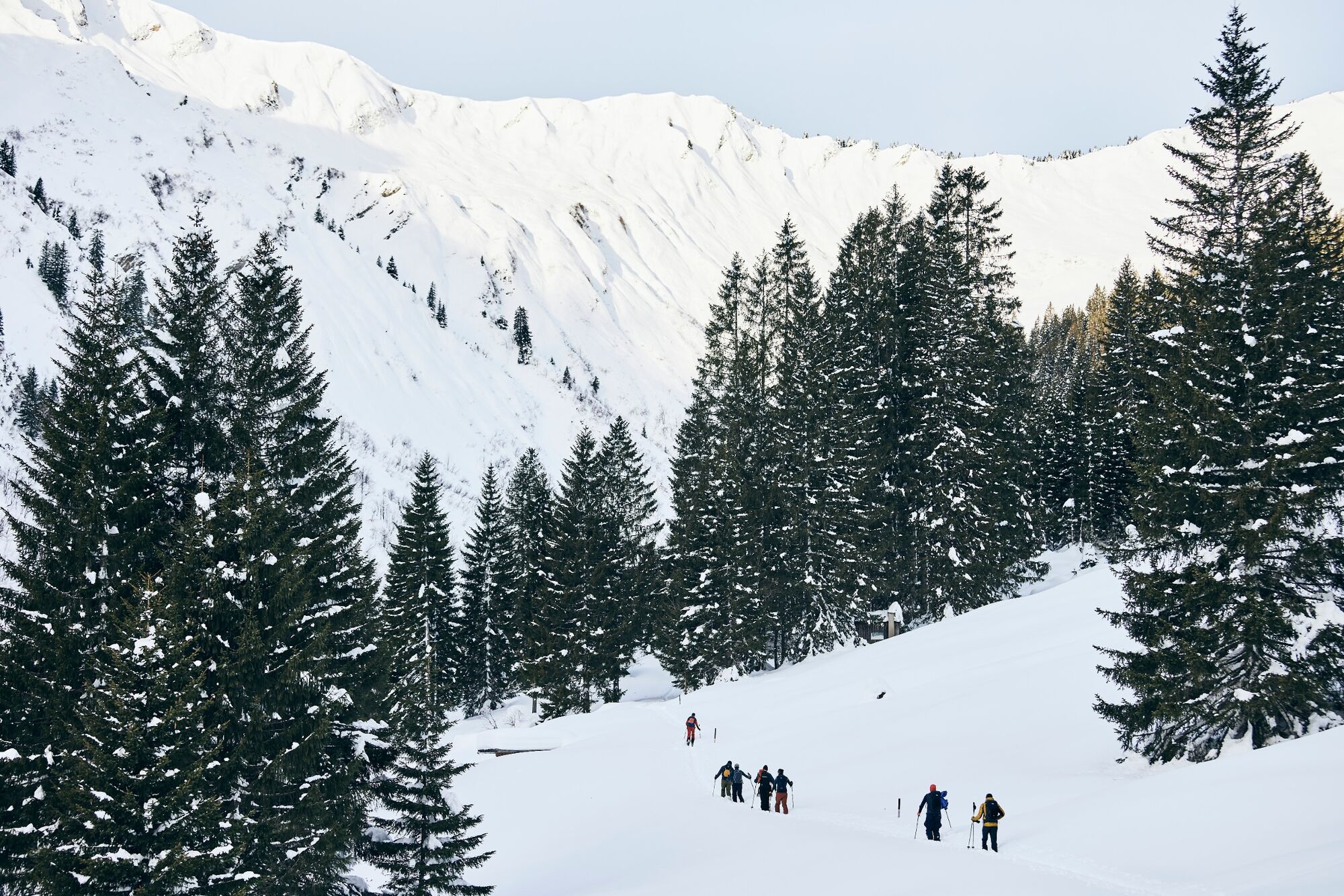
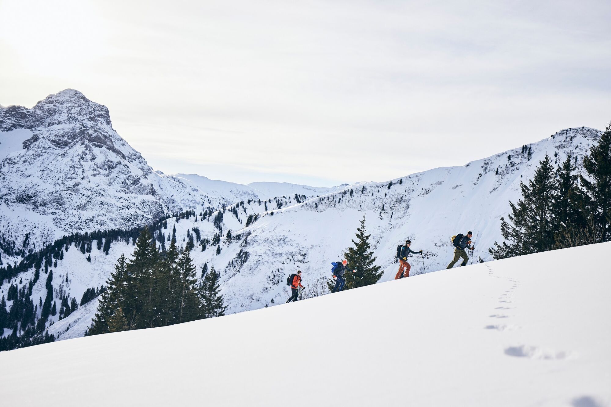
A nature experience for experienced tourers in the Duratal with a route entirely in the spirit of "experiencing nature consciously".
- Difficulté
-
moyen
- Évaluation
-
- Parcours
-
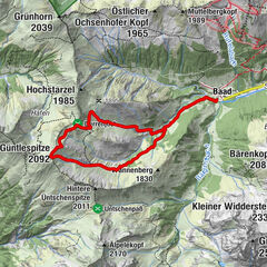
Restaurant Kuhstall0,0 kmAlpenhotel Widderstein0,1 kmBaad (1.244 m)0,1 kmGaststätte Starzelhaus0,4 kmGrünhorn (2.039 m)4,4 kmGaststätte Starzelhaus8,6 kmBaad (1.244 m)9,1 km
- Meilleure saison
-
aoûtsept.oct.nov.déc.janv.févr.marsavrilmaijuinjuil.
- Hauteur maximale
- 2.028 m
- Point de mire
-
Baad
- Profil en hauteur
-


- Auteur
-
La randonnée Ski tour: From Baad to the Grünhorn est utilisé par outdooractive.com fourni par.
GPS Downloads


Informations générales
Point de rassemblement
Prometteur
Autres parcours dans les régions