© Kleinwalsertal Tourismus eGen | @Fotograf: Frank Drechsel

© Kleinwalsertal Tourismus eGen | Fotograf: Oliver Farys

© Kleinwalsertal Tourismus eGen | Fotograf @Oliver Farys

© Kleinwalsertal Tourismus eGen | Fotograf: Oliver Farys

© Kleinwalsertal Tourismus eGen | @Fotograf: Frank Drechsel

© Kleinwalsertal Tourismus eGen | @Fotograf: Frank Drechsel


- Brève description
-
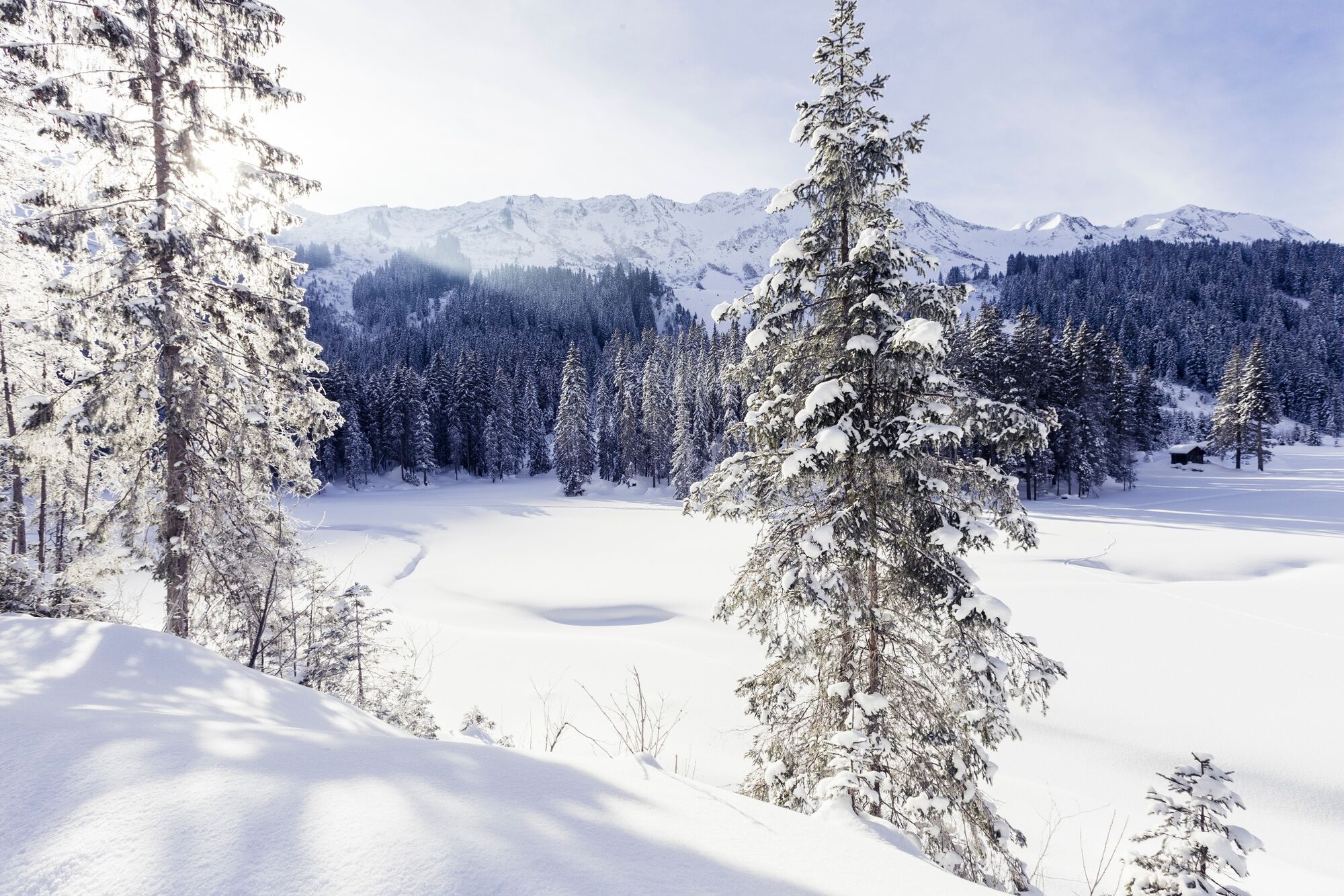
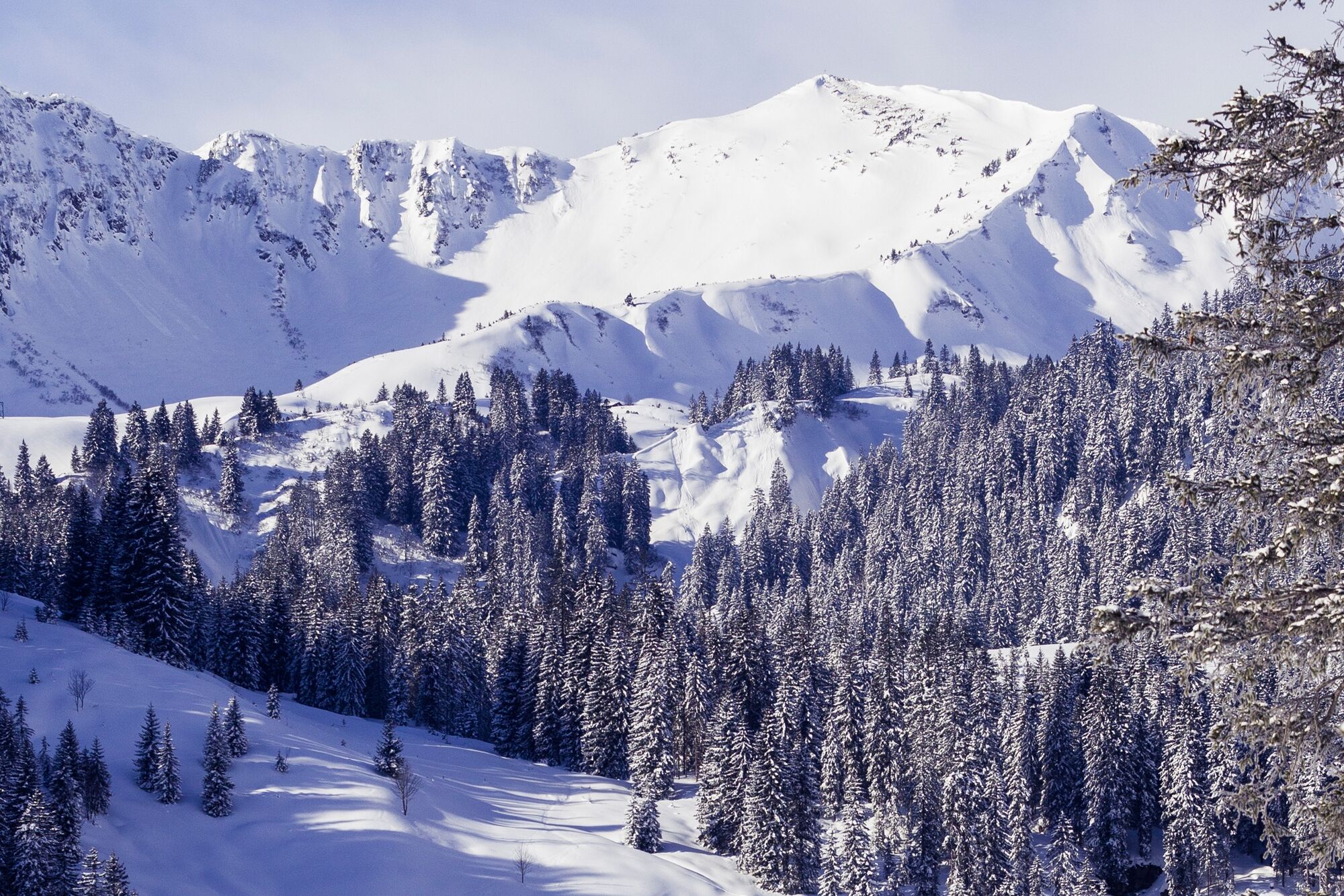
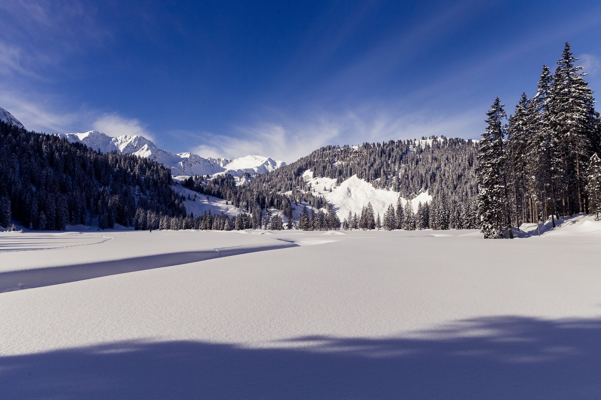
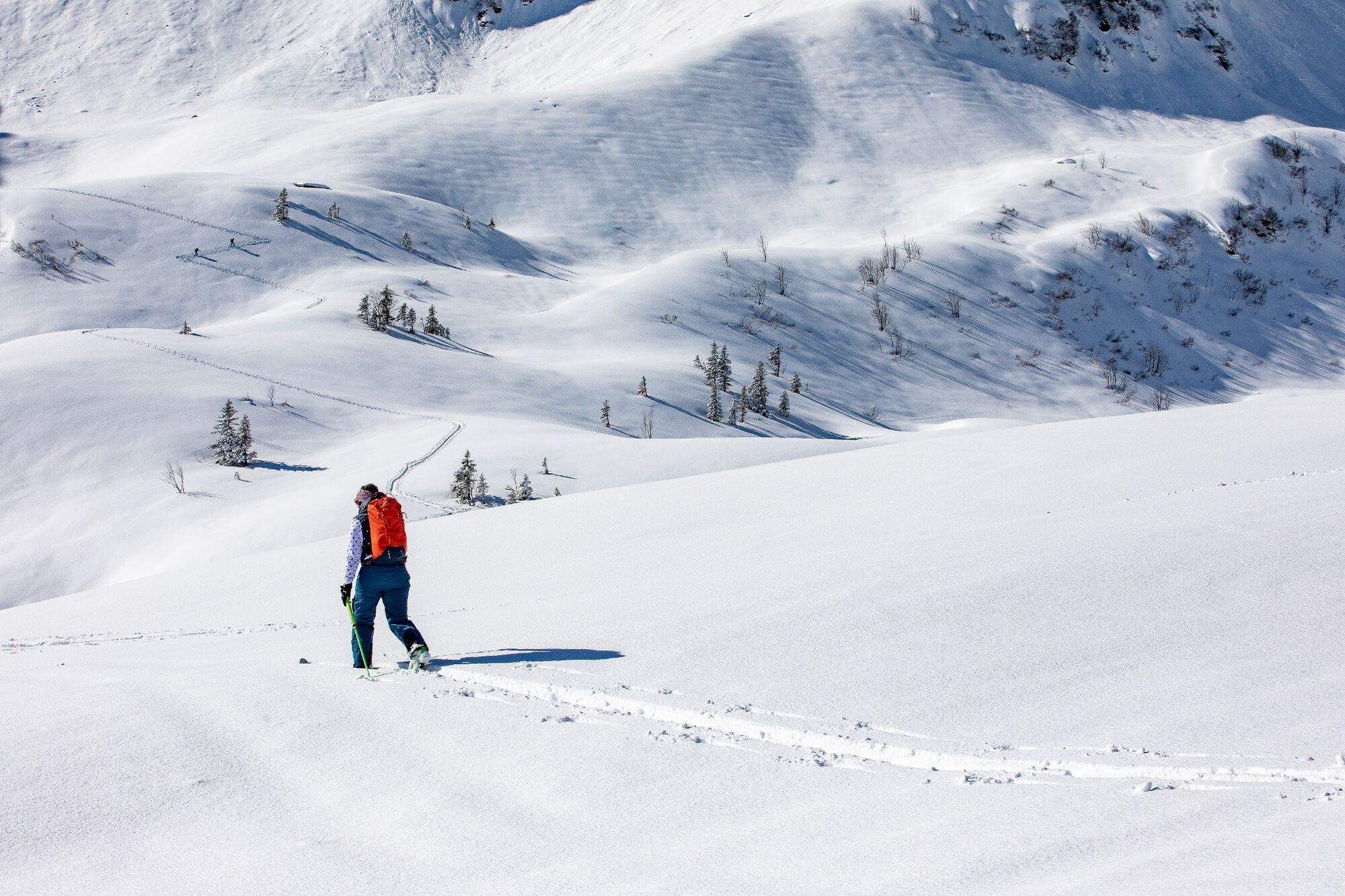
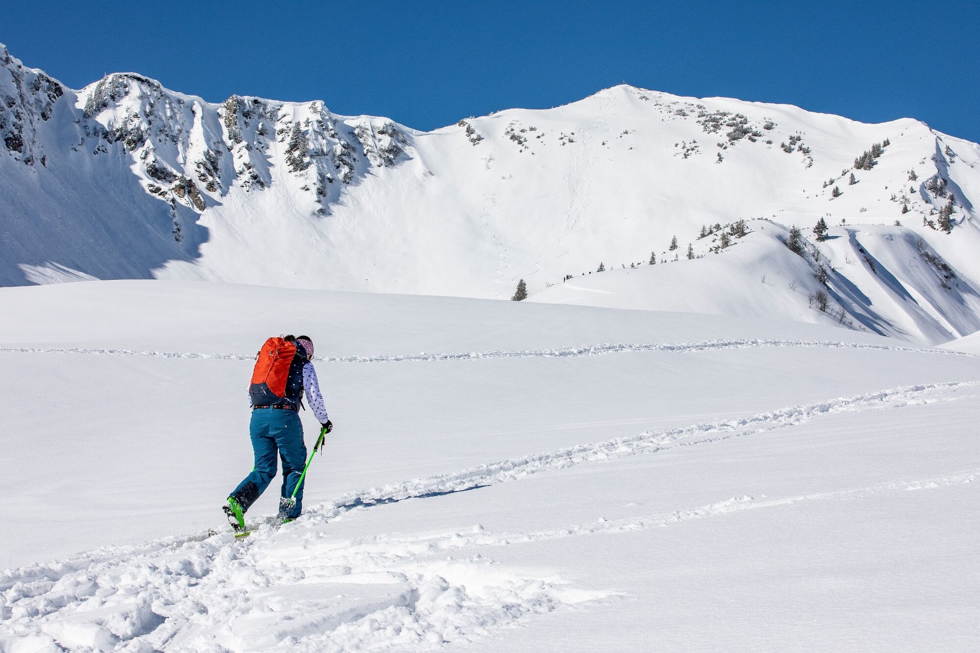
A nature experience for experienced tourers in Schwarzwassertal with a route entirely in the spirit of "experiencing nature consciously".
- Difficulté
-
moyen
- Évaluation
-
- Parcours
-
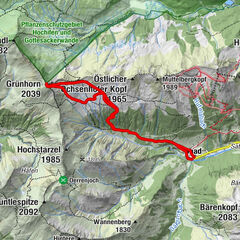
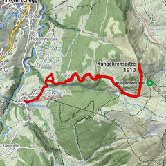
Ifersguntalpe5,0 kmHählekopf (2.058 m)6,4 kmIfersguntalpe7,8 km
- Meilleure saison
-
aoûtsept.oct.nov.déc.janv.févr.marsavrilmaijuinjuil.
- Hauteur maximale
- 2.040 m
- Point de mire
-
Hirschegg
- Profil en hauteur
-


- Auteur
-
La randonnée Ski tour: To the Hählekopf est utilisé par outdooractive.com fourni par.
GPS Downloads


Informations générales
Point de rassemblement
Prometteur
Autres parcours dans les régions