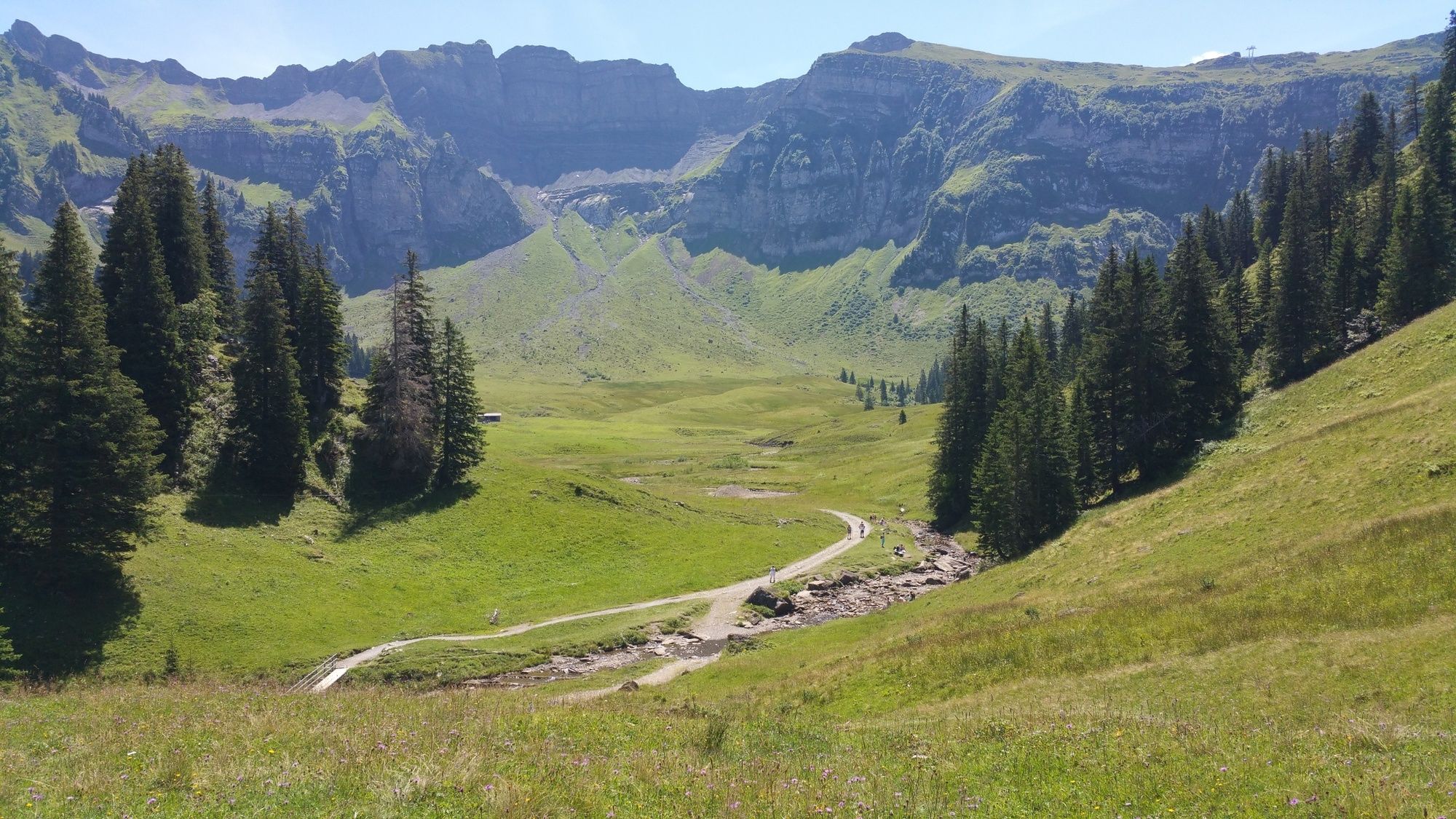
© Au-Schoppernau Tourismus - Monika Albrecht

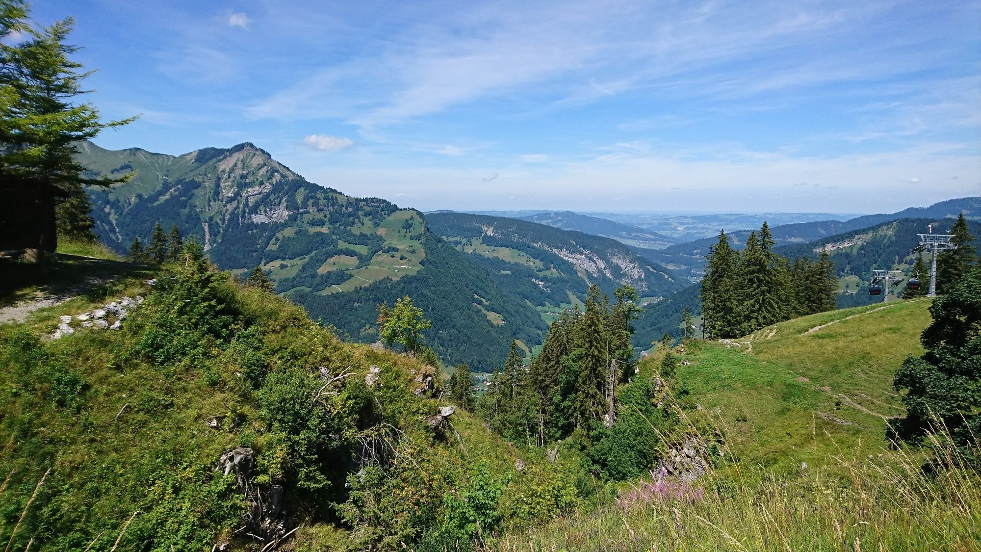
© Au-Schoppernau Tourismus - Monika Albrecht

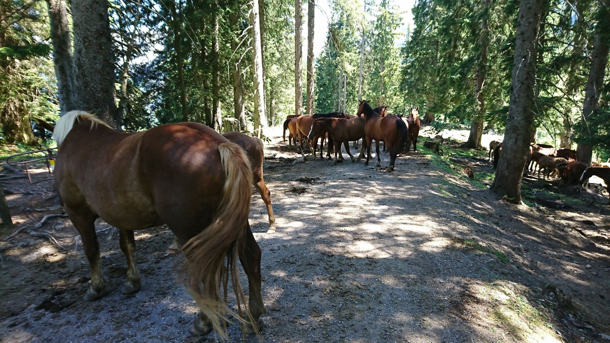
© Au-Schoppernau Tourismus - Monika Albrecht

© Au-Schoppernau Tourismus - Monika Albrecht

© Au-Schoppernau Tourismus - Monika Albrecht

© Au-Schoppernau Tourismus - Monika Albrecht

© Au-Schoppernau Tourismus - Monika Albrecht

© Au-Schoppernau Tourismus - Monika Albrecht

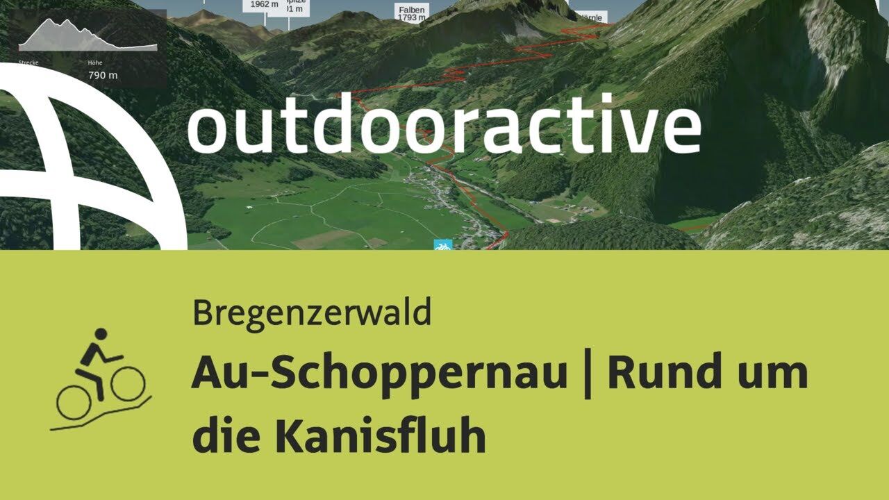
© Outdooractive – 3D Videos

- Brève description
-
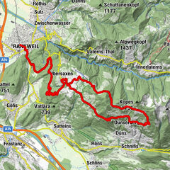
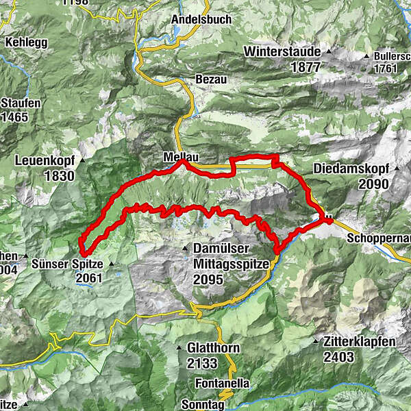
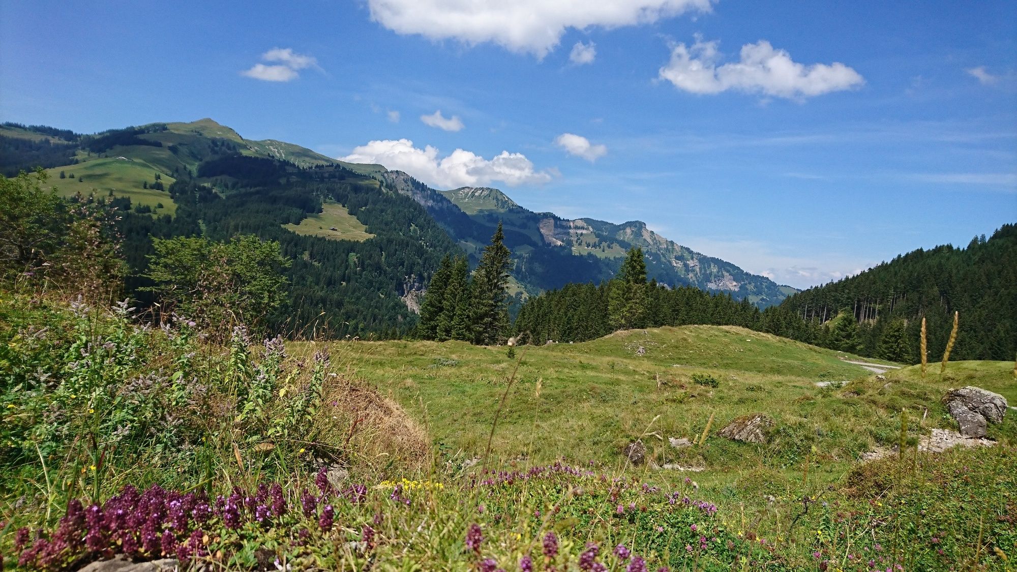
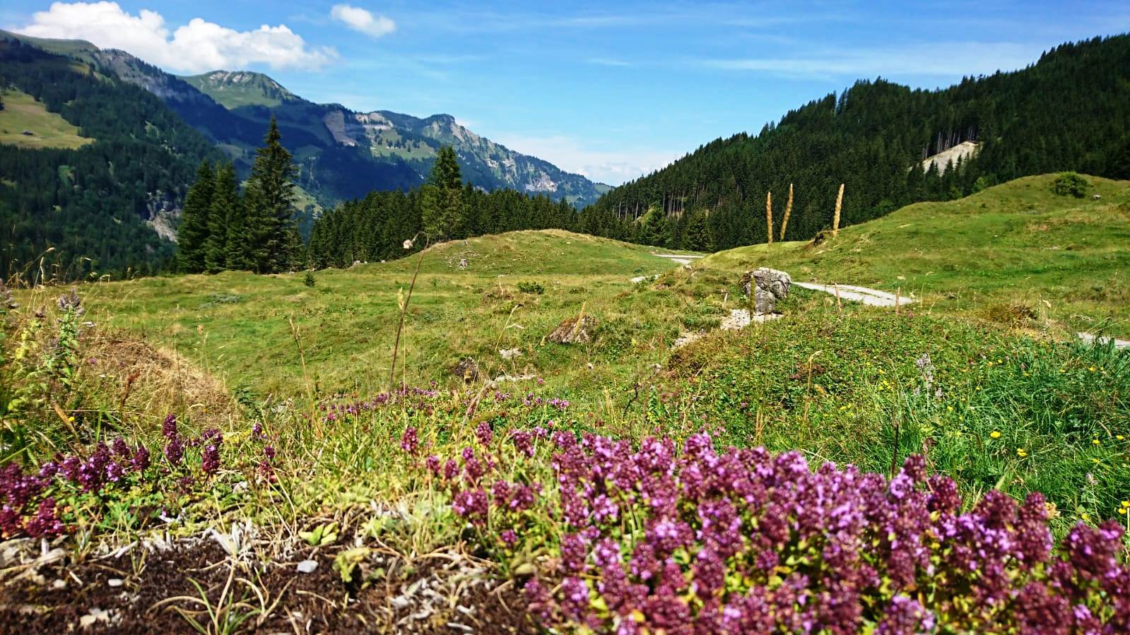
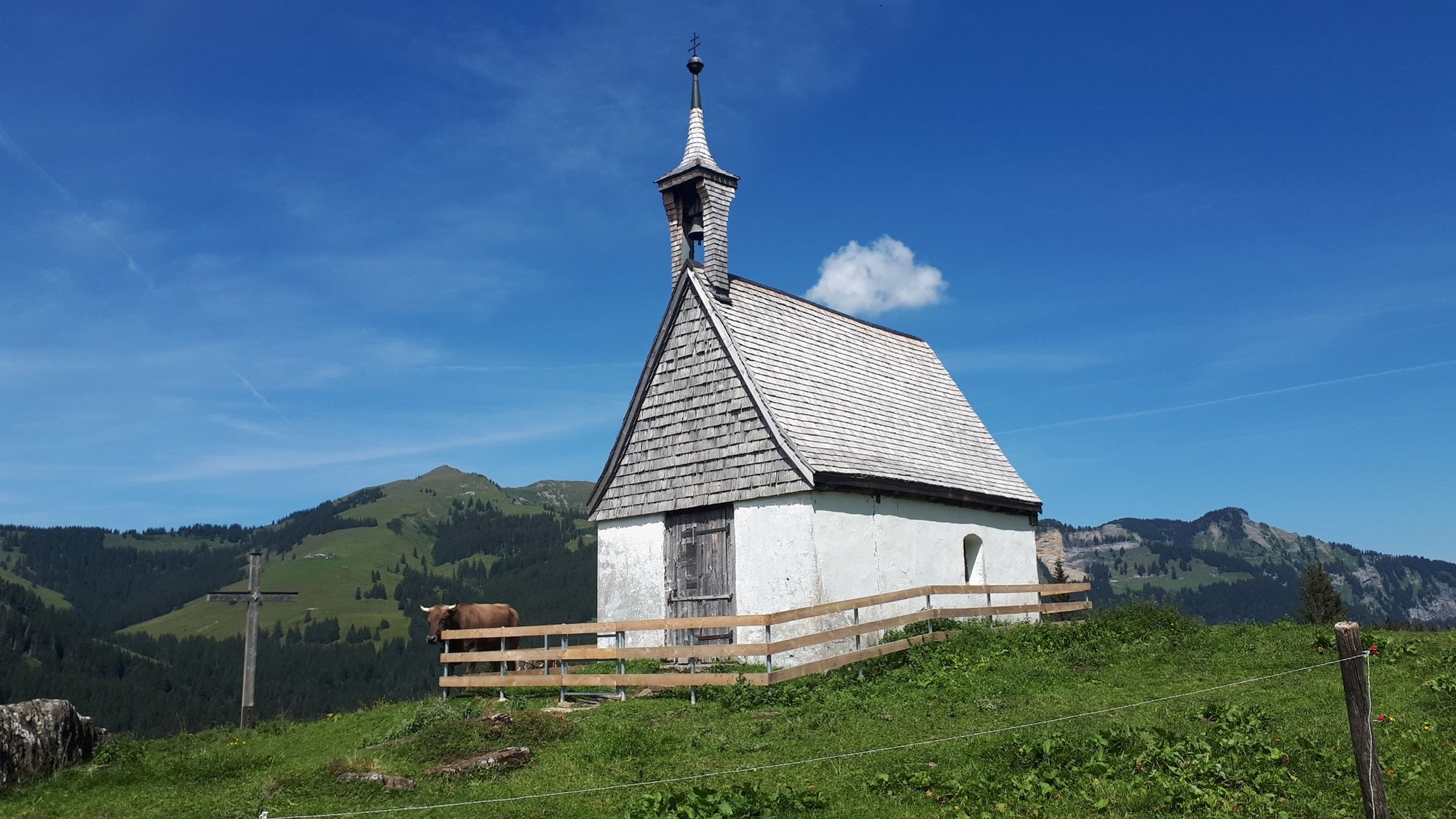
Au - Straße Richtung Damüls - Alpengasthof Edelweiß - Wurzachalpe - Roßstelle - Wildguntenalpe - Mösle - Bleichtenalpe - Hauseralpe - Lindachalpe - Mellental - Mellau - dem Radweg entlang nach Au
- Difficulté
-
moyen
- Évaluation
-
- Parcours
-
Lisse0,5 kmAu (800 m)0,5 kmArgenzipfel1,6 kmAlpengasthof Edelweiss8,0 kmJausestation Obere Alpe9,0 kmWurzach9,8 kmJausenstation Wurzachalpe9,9 kmBergrestaurant Simma12,9 kmRoßstelle12,9 kmAlphof Rossstelle13,0 kmHintere Bleichten20,8 kmHauser-Alpe22,1 kmLindach Alpe23,5 kmDös29,5 kmBengath30,1 kmUnterrain30,9 kmEggbühel31,4 kmMellau31,5 kmIslen31,6 kmMoos31,6 kmPfarrkirche Mellau31,8 kmPlatz31,9 kmNaze's Hus32,0 kmTempel32,0 kmAchsiedlung32,2 kmHinterbündt32,3 kmTanna33,1 kmEnge34,2 kmLourdeskapelle35,5 kmKapelle Hl. Martin35,5 kmHirschau35,9 kmSchnepfau37,7 kmPfarrkirche Schnepfau37,8 kmBühlenvorsäß39,5 kmLisse43,0 kmAu (800 m)43,0 km
- Meilleure saison
-
janv.févr.marsavrilmaijuinjuil.aoûtsept.oct.nov.déc.
- Hauteur maximale
- 1.637 m
- Point de mire
-
Tourist Office Au
- Profil en hauteur
-


- Auteur
-
La randonnée Around the Kansifluh est utilisé par outdooractive.com fourni par.
GPS Downloads


Informations générales
Point de rassemblement
Prometteur
Autres parcours dans les régions