© Alpenregion Bludenz Tourismus GmbH - Alex Kaiser

© Vorarlberg Tourismus GmbH
Dates des itinéraires
80,43km
845
- 2.303m
2.346hm
2.335hm
12:00h
- Brève description
-
This popular Transalp route takes experienced Transalp mountain bikers from Oberstdorf all the way down to Lake Garda.
- Difficulté
-
difficile
- Évaluation
-
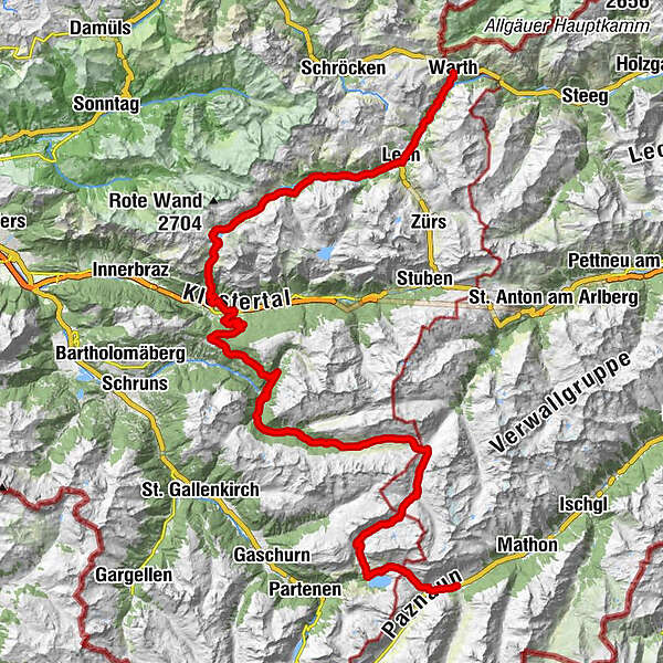
- Parcours
-
Warth (1.495 m)Bildegg0,2 kmTeschenberg0,3 kmMaterialseilbahn Bürstegg3,3 kmGotikkirche Hl. Nikolaus6,6 kmLech (1.444 m)6,8 kmZug9,5 kmSebastianskirche9,6 kmKlösterle10,3 kmGasthof Auerhahn10,3 kmMaterialseilbahn Göppinger Hütte13,0 kmGasthaus Älpele13,0 kmFormarinalpe19,7 kmMason27,5 kmUntermarias29,0 kmSt. Oswald29,4 kmDalaas (835 m)29,7 kmInnerkristberg36,8 kmKnappenkirche St. Agatha36,9 kmPanoramagasthof Kristberg (1.443 m)36,9 kmKnappastoba37,1 kmKristbergbahn37,2 kmSiebenbrünnele (1.536 m)39,8 kmAP Wildried41,2 kmGretschbach-Wasserfall43,7 kmGiesla Fuchsschwanz - Wasserfall48,0 kmPeter-Käß-Hütte66,3 kmNeue Heilbronner Hütte66,4 kmWinterjöchle (2.272 m)66,6 kmAlpengasthof Zeinisjoch74,7 kmKleinzeinis77,5 kmWirl78,4 kmSt. Antonius Kapelle78,8 kmLandle79,9 kmWinkl80,1 kmGaltür (1.582 m)80,2 kmEgg80,2 kmPfarrkirche80,3 km
- Meilleure saison
-
janv.févr.marsavrilmaijuinjuil.aoûtsept.oct.nov.déc.
- Hauteur maximale
- 2.303 m
- Point de mire
-
Village centre, Galtür
- Profil en hauteur
-


- Auteur
-
La randonnée Alpencross through Vorarlberg | Klostertal est utilisé par outdooractive.com fourni par.
GPS Downloads


Circuits
Trial
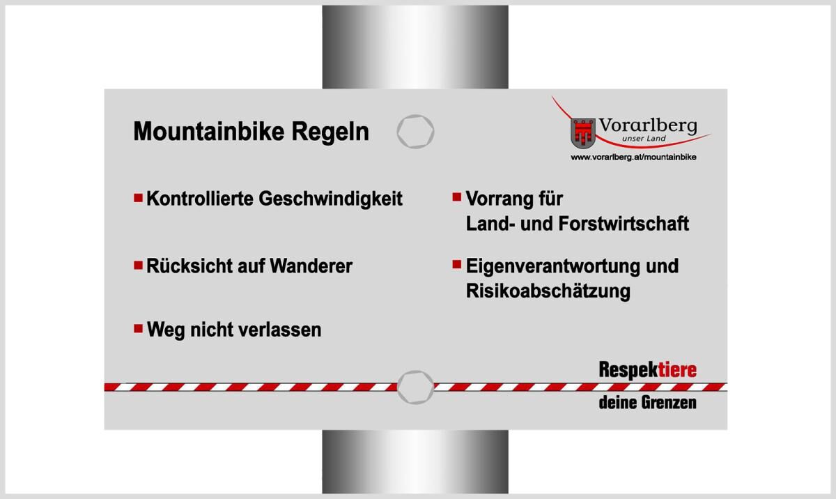
Informations générales
Point de rassemblement
Prometteur
Autres parcours dans les régions