© La via delle PREALPI - Editor - la Via delle PREALPI

© La via delle PREALPI - Editor - la Via delle PREALPI

© La via delle PREALPI - Editor - la Via delle PREALPI

© La via delle PREALPI - Editor - la Via delle PREALPI

- Brève description
-
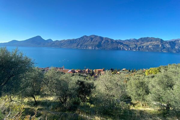
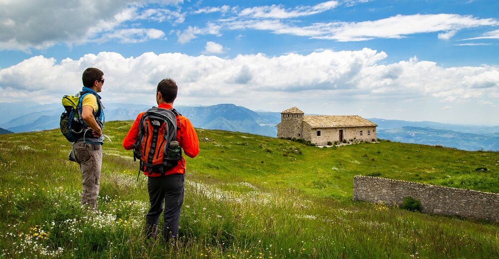
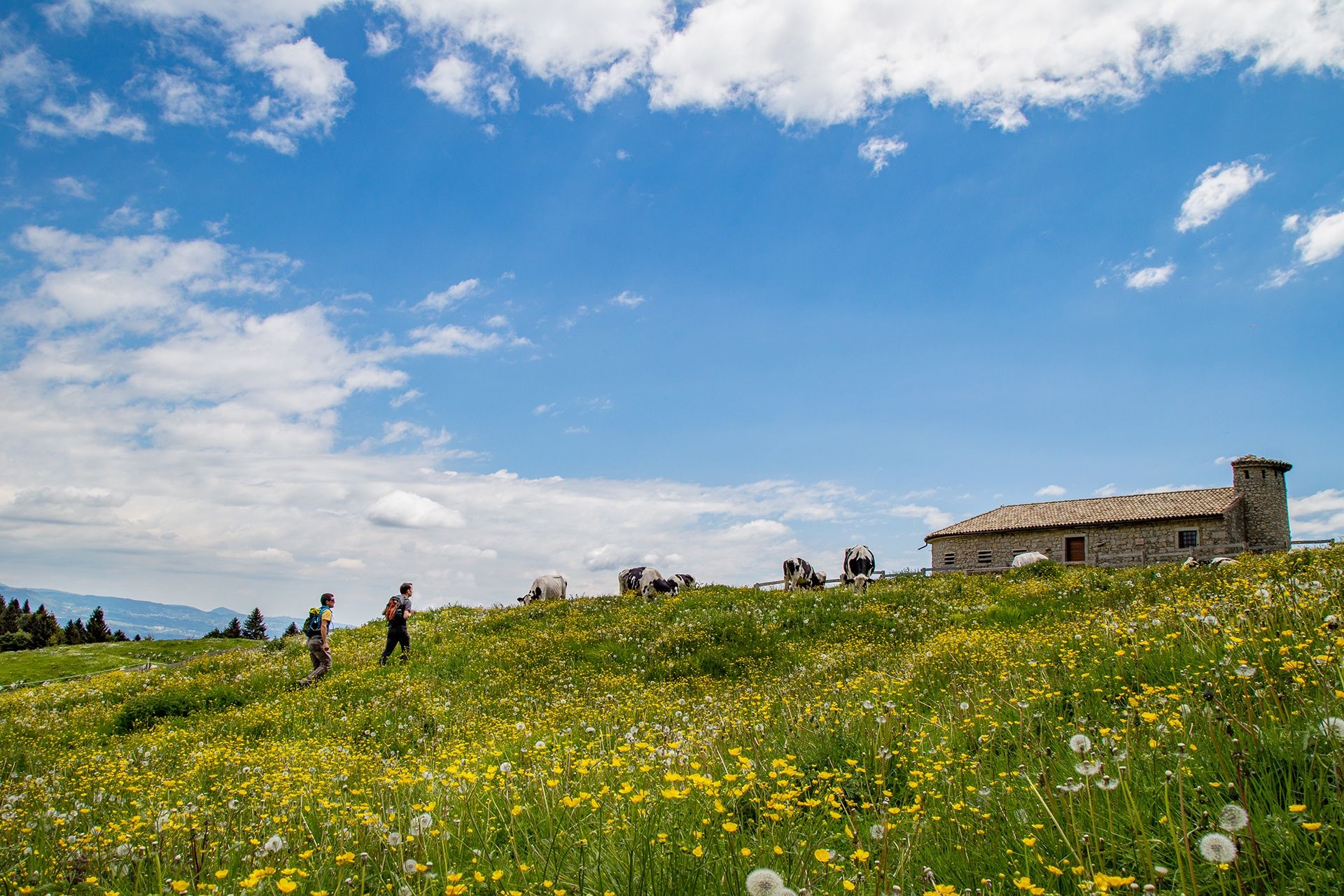
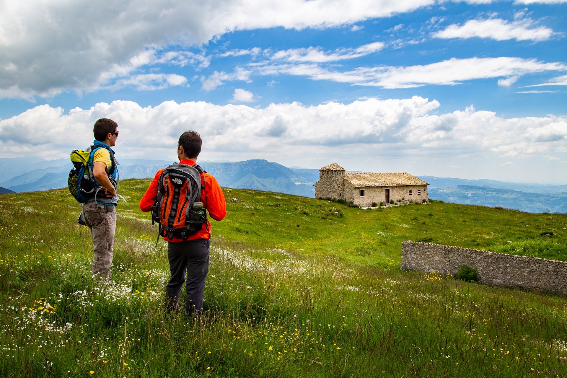
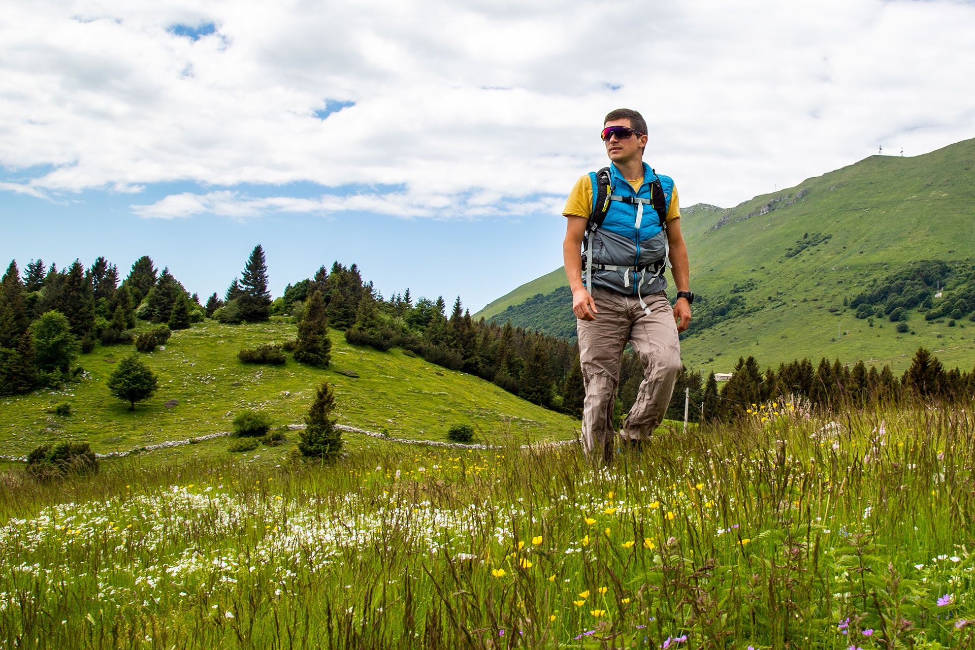
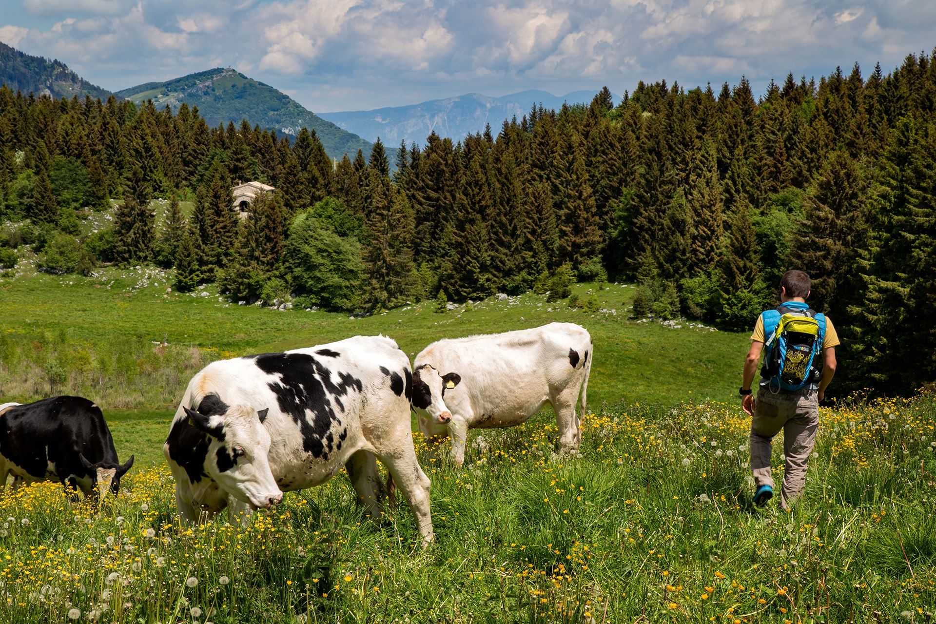
A beautiful hike to discover the southern side of the Baldo. The route will take you to admire the panorama of Lake Garda from the natural terrace of Malga Zocchi. The ring-route is mainly on secondary roads and dirt roads that climb up through the mountain pastures crossing the characteristic villages of Caprino Veronese. From there you can admire a unique panorama all year round, but this place is magical especially between spring and summer, when the meadows are tinged with a thousand colours.
- Difficulté
-
difficile
- Évaluation
-
- Parcours
-
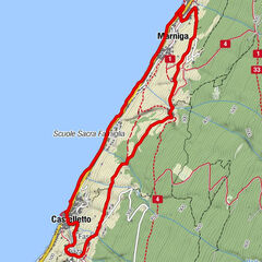
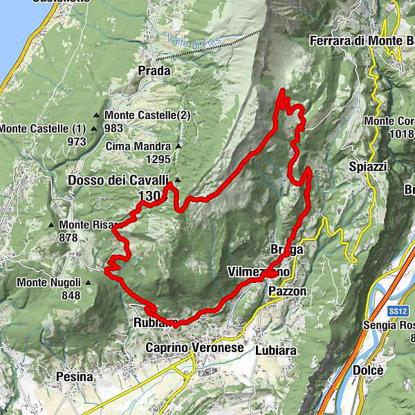
GaonVilmezzano2,0 kmRenzon2,8 kmMonte Motta (572 m)3,1 kmBraghizzola3,3 kmBraga3,7 kmle Binde6,0 kmPradonego7,1 kmMalga Valfredda11,2 kmColonei di Caprino13,8 kmColonei di Pesina15,0 kmMalga Zocchi16,5 kmRubiana24,2 kmGaon25,4 km
- Meilleure saison
-
janv.févr.marsavrilmaijuinjuil.aoûtsept.oct.nov.déc.
- Hauteur maximale
- 1.367 m
- Point de mire
-
Gaon, Caprino Veronese, (VR)
- Profil en hauteur
-
 © outdooractive.com
- Auteur
-
La randonnée Hiking on Monte Baldo est utilisé par outdooractive.com fourni par.
GPS Downloads


Informations générales
Point de rassemblement
Secret
Flore
Faune
Prometteur
Autres parcours dans les régions
-
Verona
276
-
Gardasee / Venetien
306
-
San Zeno di Montagna
109