Trekking Cima Larici, Cima Portule, Cima Dodici, Monte Ortigara

Randonnée

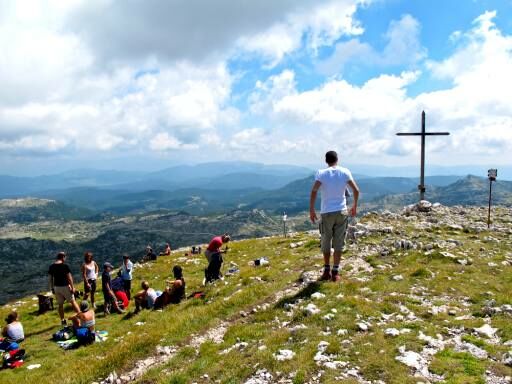
© APT - Valsugana e Lagorai - foto: Alessandro Ghezzer

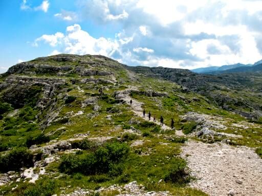
© APT - Valsugana e Lagorai - foto: Alessandro Ghezzer

- Brève description
-
Bellissimo trekking che unisce le cime Larici, Portule, e Dodici sulle tracce della Grande Guerra
- Difficulté
-
difficile
- Évaluation
-
- Parcours
-
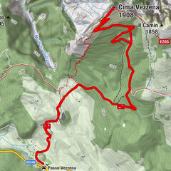
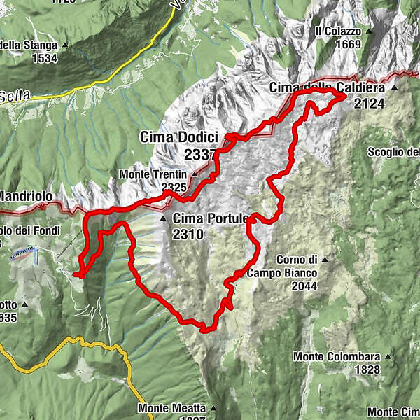
Malga Larici di Sotto0,0 kmCima Larici (2.033 m)1,9 kmMonte Erba (2.031 m)2,5 kmCima Dodici (2.337 m)7,8 kmLa Forzelletta (2.150 m)8,4 kmPozzo II Baito Cuvolin9,1 kmPozzo I Baito Cuvolin9,2 kmPozzo VII Baito Cuvolin9,4 kmBuco del Baito9,5 kmMonte Ortigara (2.106 m)11,9 kmMadonna della pace12,8 kmPiazzale Garibaldi14,1 kmFontanello del Cuvolin14,9 kmBivacco Bordignon15,5 kmBivio Italia (1.987 m)17,2 kmSelletta Generale Von Mecenseffy18,7 kmBusa del Can19,4 kmChiesetta di Campogallina20,8 kmMonumenti (1.787 m)22,5 kmFontana di Bocchetta Portule24,0 kmMalga Larici di Sotto (1.625 m)30,1 km
- Meilleure saison
-
janv.févr.marsavrilmaijuinjuil.aoûtsept.oct.nov.déc.
- Hauteur maximale
- 2.302 m
- Point de mire
-
Malga Larici
- Profil en hauteur
-
 © outdooractive.com
-
-
AuteurLa randonnée Trekking Cima Larici, Cima Portule, Cima Dodici, Monte Ortigara est utilisé par outdooractive.com fourni par.
GPS Downloads


Informations générales
Culturel/Historiquement
Prometteur
Autres parcours dans les régions