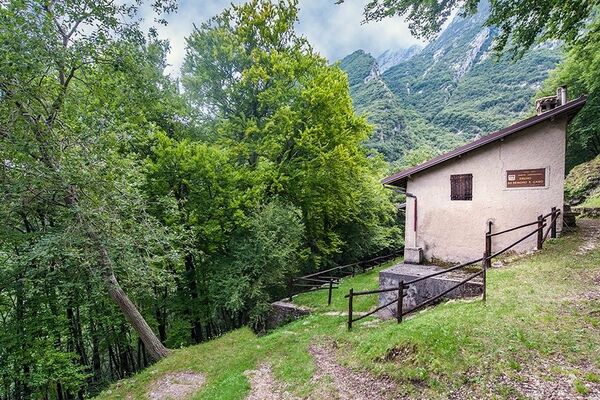
To Faigo and San Michele along the fitness trail

Chemin de Grande Randonnée
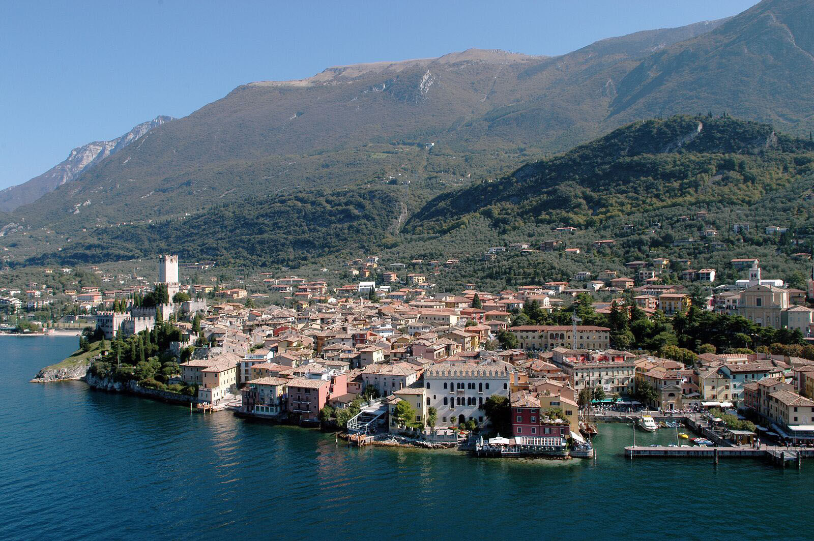
© The Land of Venice - visitmalcesine.com
© The Land of Venice - visitmalcesine.com
© Archivio Regione del Veneto
- Brève description
-
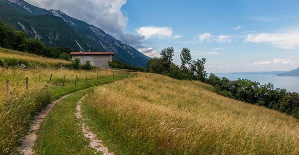
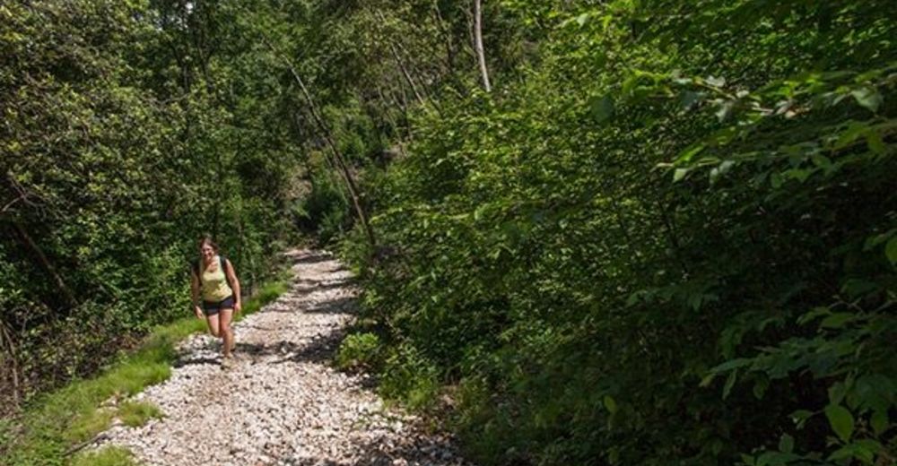
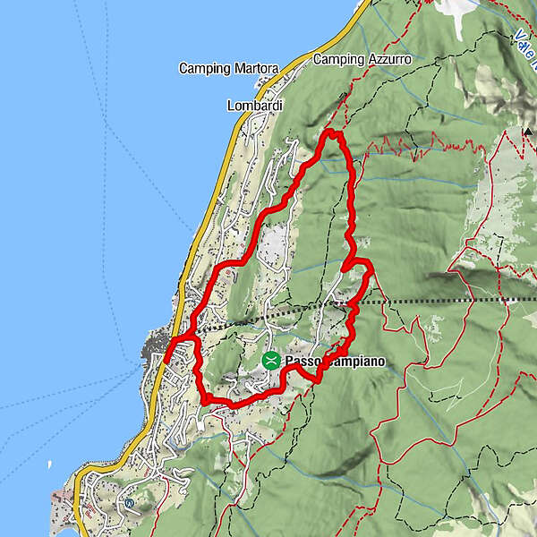
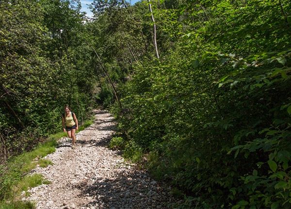
A medium-difficulty ring trekking route that leads from Malcesine to San Michele by climbing the mule track of the Vacco e Faigo from path number 4. You return to Malcesine by passing through the health trail of San Michele and through Val di Goa. 9.5 km awaits you on 780 m of positive and negative altitude difference. The path is very varied: you will walk on concrete, mule track, path, rocks and undergrowth. The path winds at times in the middle of olive trees but also in the woods and meadows. There is no shortage of panoramic points typical of the area.
- Difficulté
-
moyen
- Évaluation
-
- Parcours
-
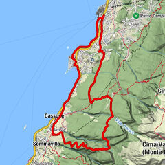
Malcesine0,1 kmChiesa San Michele5,9 kmSan Michele6,0 kmMalcesine9,3 km
- Meilleure saison
-
janv.févr.marsavrilmaijuinjuil.aoûtsept.oct.nov.déc.
- Hauteur maximale
- 650 m
- Point de mire
-
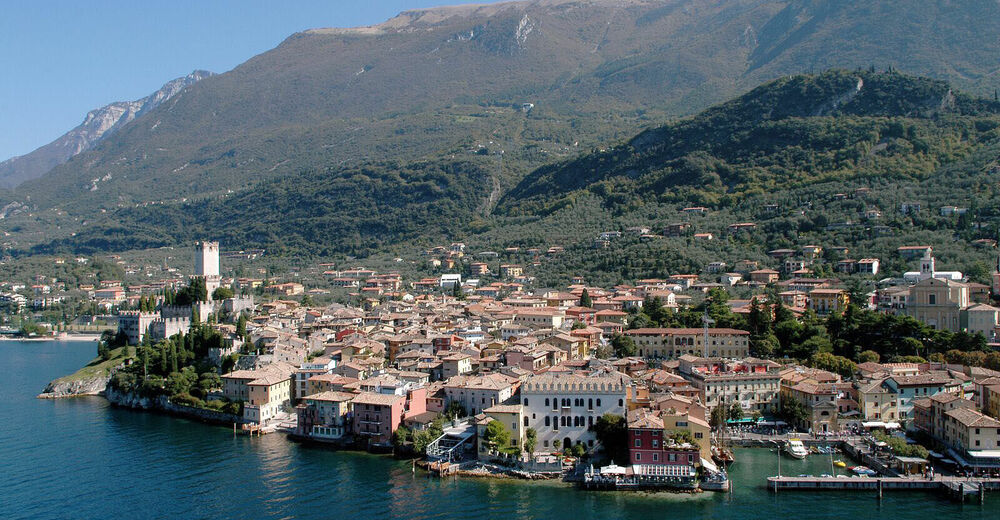
Malcesine (Vr)
- Profil en hauteur
-
 © outdooractive.com

- Auteur
-
La randonnée To Faigo and San Michele along the fitness trail est utilisé par outdooractive.com fourni par.
GPS Downloads


Informations générales
Flore
Prometteur
Autres parcours dans les régions
-
Verona
278
-
Garda Trentino
666
-
Malcesine
214