Trekking at Cima Pontara - Lemperperg: mountain between Pinè Plateau and Mòcheni Valley

Randonnée

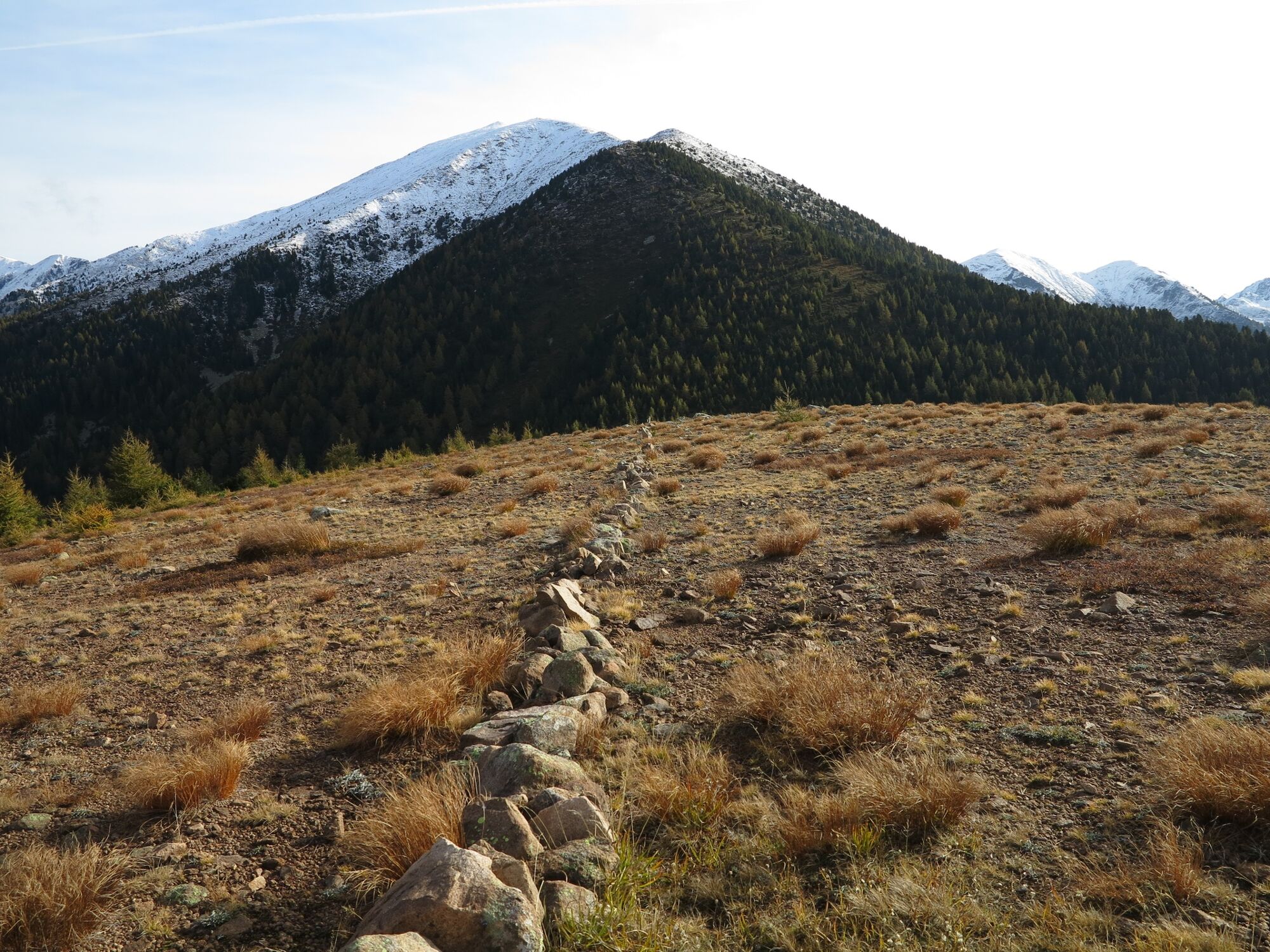
© APT Trento - Federico Monegatti

© APT Trento - Federico Monegatti

© APT Trento - Federico Monegatti

© APT Trento - Federico Monegatti

© APT Trento - Federico Monegatti

- Brève description
-
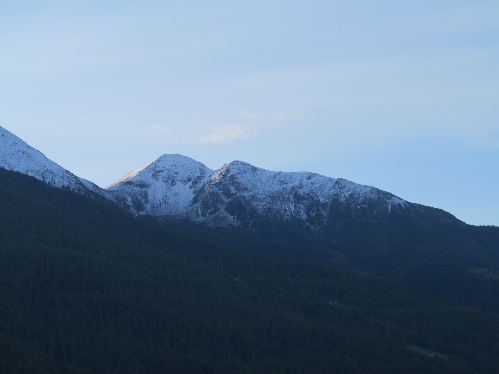
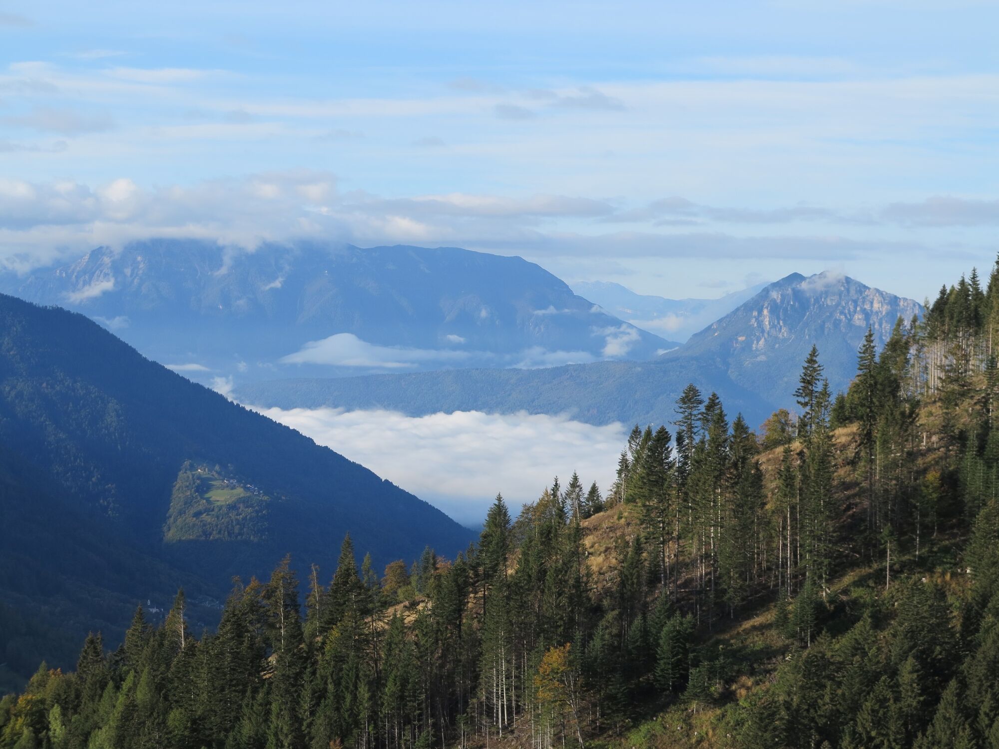
The proposed summit is a very interesting destination for lovers of tranquillity.
- Difficulté
-
moyen
- Évaluation
-
- Parcours
-
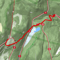
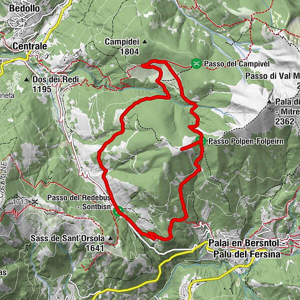
Fernon1,2 kmLemperperg (2.004 m)3,8 kmMalga Stramaiolo alta5,8 kmAgritur Malga Stramaiolo6,6 kmMalga Pontara8,6 kmMalga Regnana9,9 km
- Meilleure saison
-
janv.févr.marsavrilmaijuinjuil.aoûtsept.oct.nov.déc.
- Hauteur maximale
- 1.989 m
- Point de mire
-
Redebus Pass
- Profil en hauteur
-
 © outdooractive.com


- Auteur
-
La randonnée Trekking at Cima Pontara - Lemperperg: mountain between Pinè Plateau and Mòcheni Valley est utilisé par outdooractive.com fourni par.
GPS Downloads


Informations générales
Point de rassemblement
Climat thérapeutique
Secret
Flore
Faune
Prometteur
Autres parcours dans les régions