© Garda Trentino - Archivio Garda Trentino (Ph. Jennifer Doohan)

© Garda Trentino - APT Garda Trentino (ph. Matteo ISchia)

© Garda Trentino - APT Garda Trentino

© Garda Trentino - APT Garda Trentino

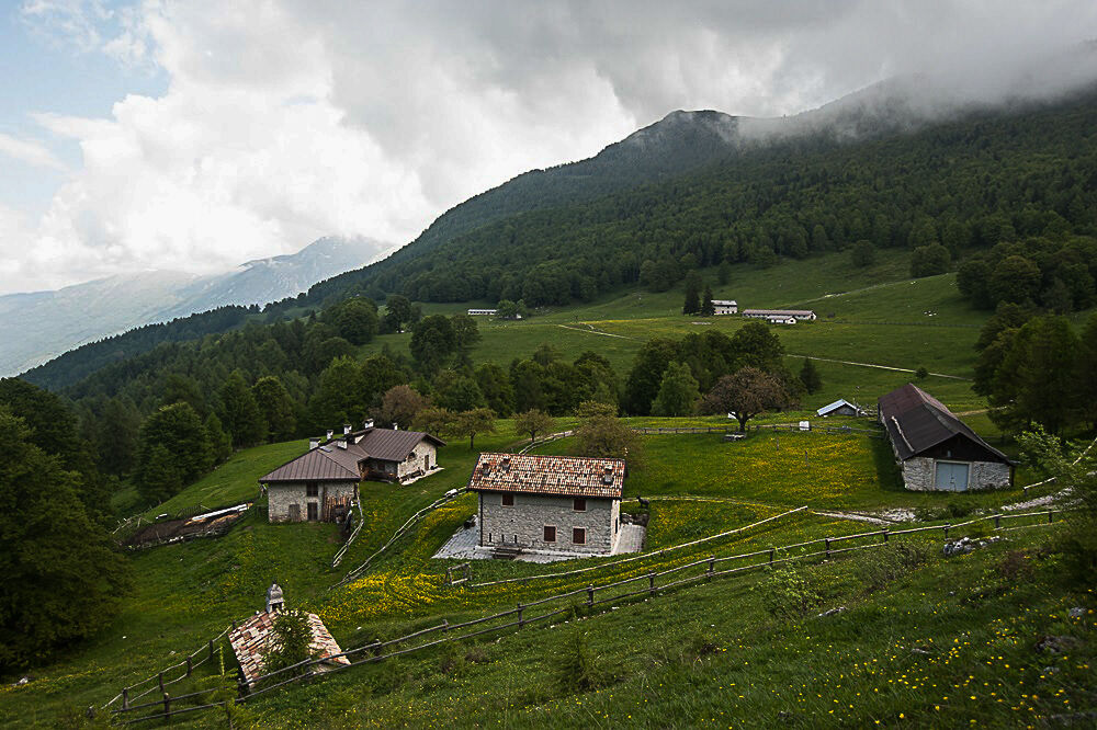
© Garda Trentino - Archivio Garda Trentino

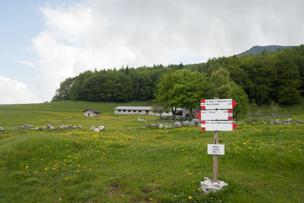
© Garda Trentino - Archivio Garda Trentino

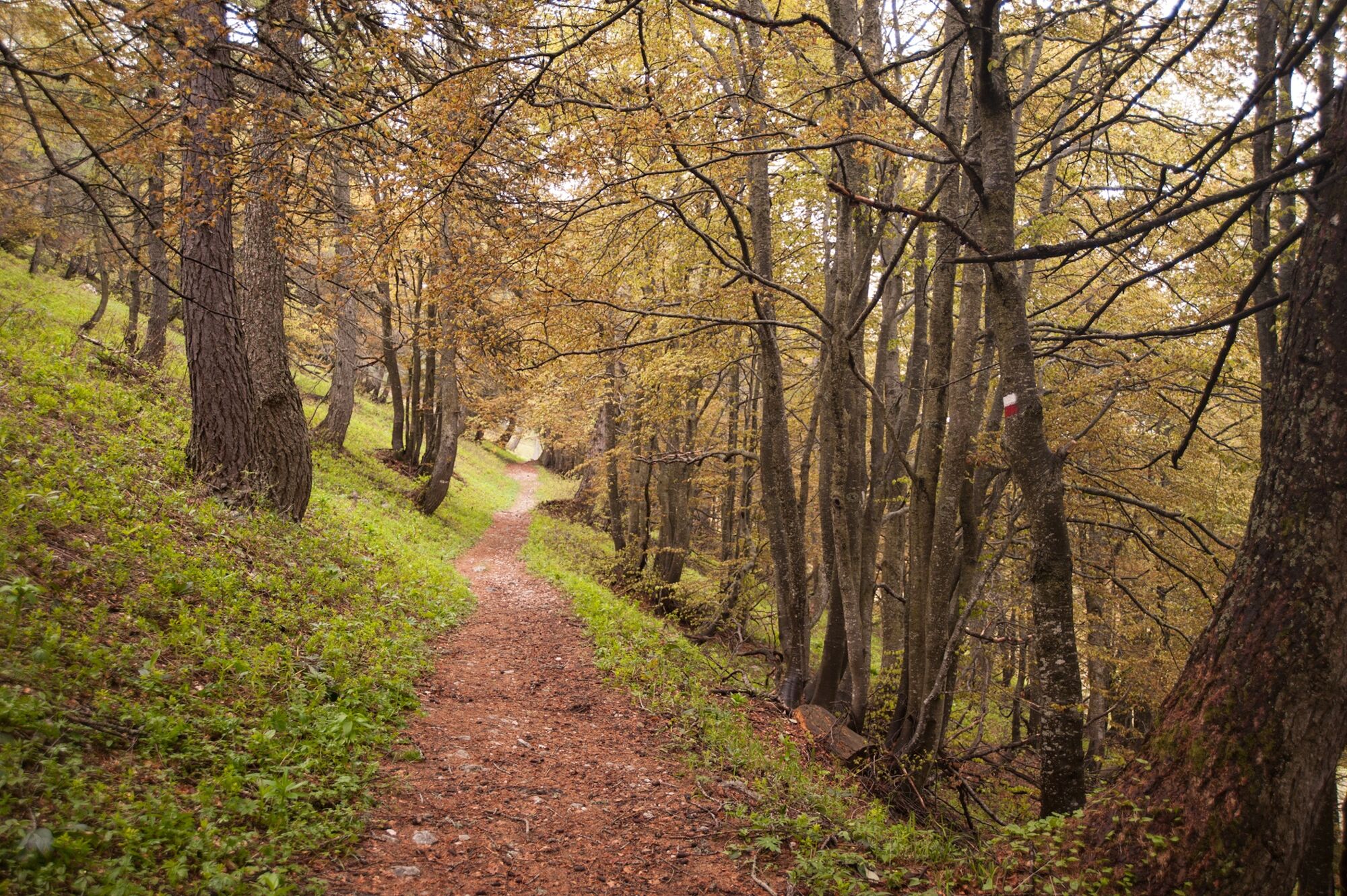
© Garda Trentino - Archivio Garda Trentino (Ph. Alberto Rifugio Marchetti)

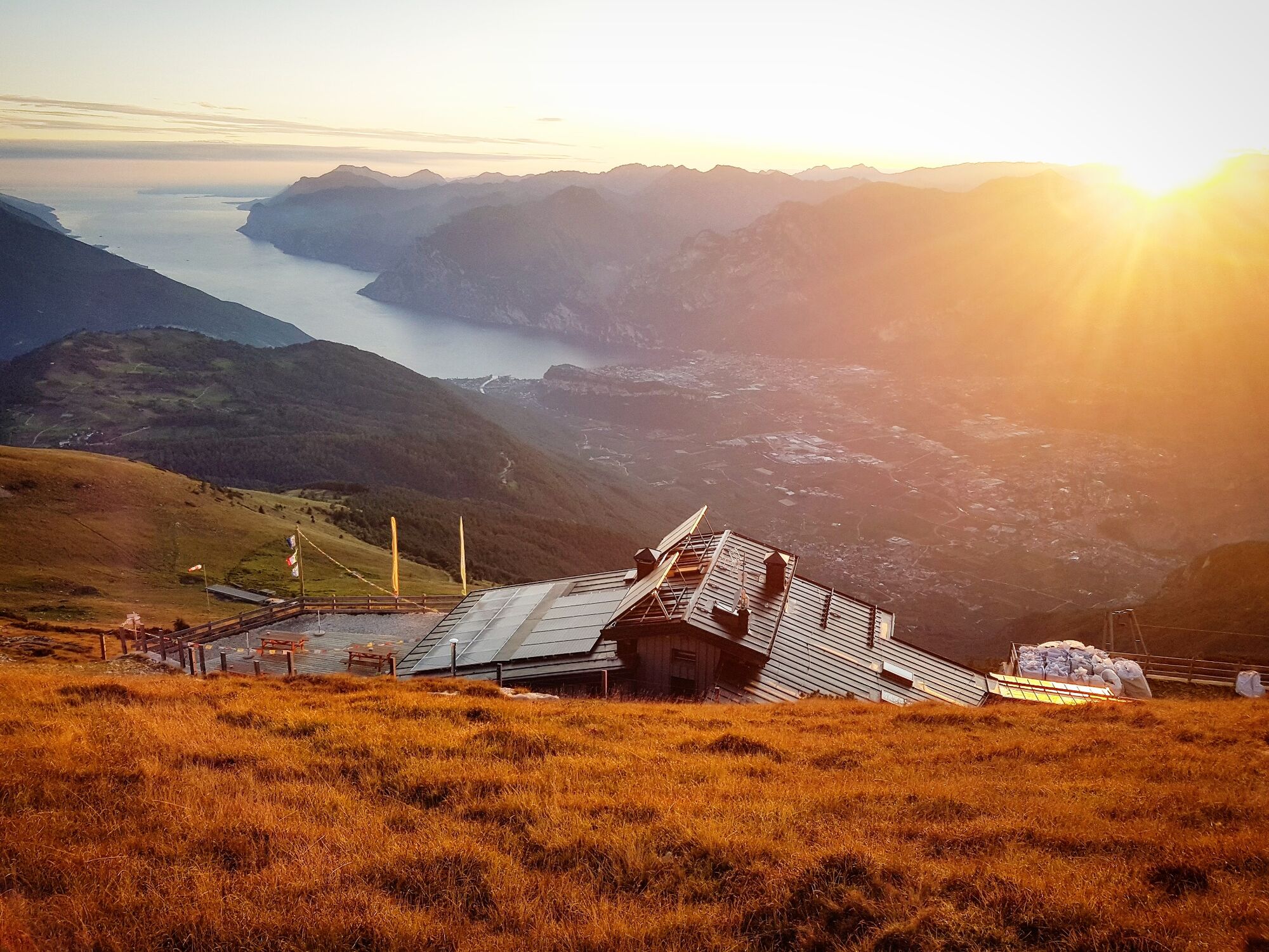
© Garda Trentino - Archivio Garda Trentino (Ph. Jennifer Doohan)

© Garda Trentino - Archivio Garda Trentino (Ph. Jennifer Doohan)

© Outdooractive – 3D Videos


- Brève description
-
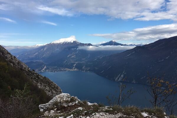
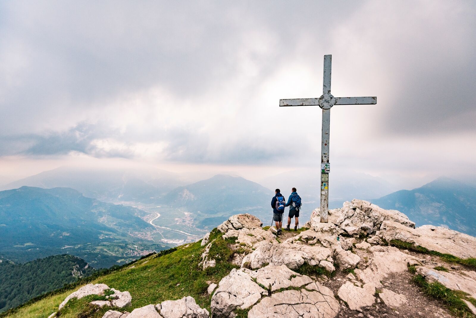
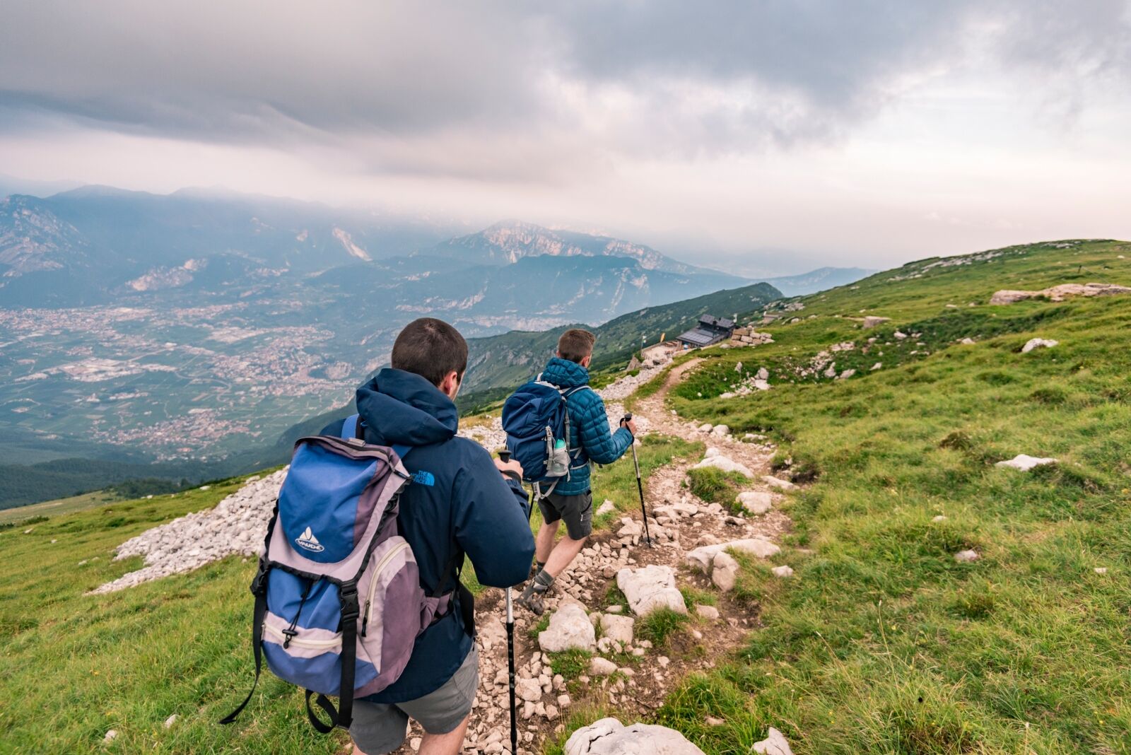
This is a trail for experienced hikers which leads to Cima Bassa and then along the ridge to the summit of Stivo, one of the most spectacular viewing points in Garda Trentino
- Difficulté
-
moyen
- Évaluation
-
- Parcours
-
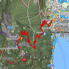
La Bassa Madonnina (1.684 m)2,1 kmMonte Stivo (2.054 m)3,7 km
- Meilleure saison
-
janv.févr.marsavrilmaijuinjuil.aoûtsept.oct.nov.déc.
- Hauteur maximale
- 2.044 m
- Point de mire
-
Monte Stivo
- Profil en hauteur
-
 © outdooractive.com


-

-
AuteurLa randonnée From Malga Campo to Monte Stivo est utilisé par outdooractive.com fourni par.
GPS Downloads


Informations générales
Point de rassemblement
Prometteur
Autres parcours dans les régions