
- Brève description
-
Caution: the Rifugio Tonini was destroyed and therefore a stage point is missing
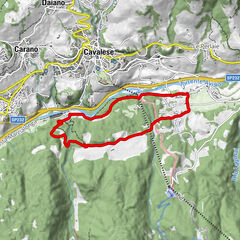
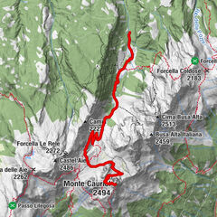
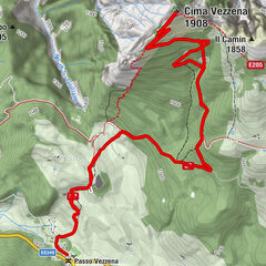
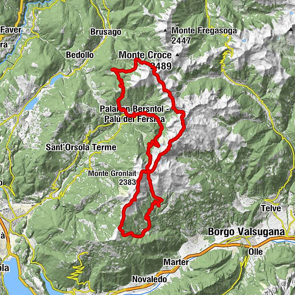
A wonderful trekking in a ring shape, with starting point at Palù dei Mocheni/Palai en Bersntol, which takes to the various peaks of this mountainous chain over a four-day journey.
- Difficulté
-
difficile
- Évaluation
-
- Parcours
-
Battisti0,3 kmTolleri0,6 kmLenzi1,0 kmPalai im Fersental1,2 kmStefani1,2 kmChiesa di Santa Maria Maddalena1,3 kmTural1,3 kmKirch1,3 kmSigismondi1,7 kmMalga Stramaiolo alta6,4 kmPasso di Val Mattio (2.289 m)11,9 kmRifugio Sette Selle16,2 kmForcella Cavè (2.184 m)19,7 kmCima delle Lepri (2.292 m)19,9 kmCima Cavè (2.296 m)20,2 kmMonte del Lago (2.327 m)20,6 kmMonte Gronlait (2.383 m)23,9 kmFravort (2.347 m)26,2 kmLa Fontanella (2.037 m)27,6 kmPrennputz (2.027 m)27,9 kmAgriturismo Malga Masi29,3 kmMalga Masi (1.712 m)29,4 kmRifugio Erterle31,0 kmValle della Portela37,7 kmFrotten45,3 kmTasaineri45,6 kmBattisti45,8 km
- Meilleure saison
-
janv.févr.marsavrilmaijuinjuil.aoûtsept.oct.nov.déc.
- Hauteur maximale
- 2.351 m
- Point de mire
-
Palù del Fersina
- Profil en hauteur
-
 © outdooractive.com
- Auteur
-
La randonnée The trail of porphyry est utilisé par outdooractive.com fourni par.
GPS Downloads


Informations générales
Culturel/Historiquement
Secret
Prometteur
Autres parcours dans les régions