© Val di Fassa - C.C. Azienda per il Turismo della Val di Fassa

© Val di Fassa - C.C. Azienda per il Turismo della Val di Fassa

© Val di Fassa - C.C. Azienda per il Turismo della Val di Fassa

© Val di Fassa - C.C. Azienda per il Turismo della Val di Fassa

© Val di Fassa - C.C. Azienda per il Turismo della Val di Fassa

© Val di Fassa - C.C. Azienda per il Turismo della Val di Fassa

© Val di Fassa - C.C. Azienda per il Turismo della Val di Fassa

© Val di Fassa - C.C. Azienda per il Turismo della Val di Fassa

© Val di Fassa - C.C. Azienda per il Turismo della Val di Fassa

© Val di Fassa - C.C. Azienda per il Turismo della Val di Fassa

- Brève description
-
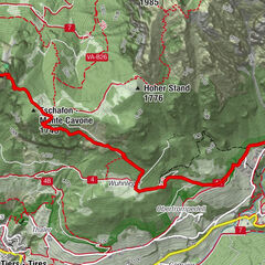
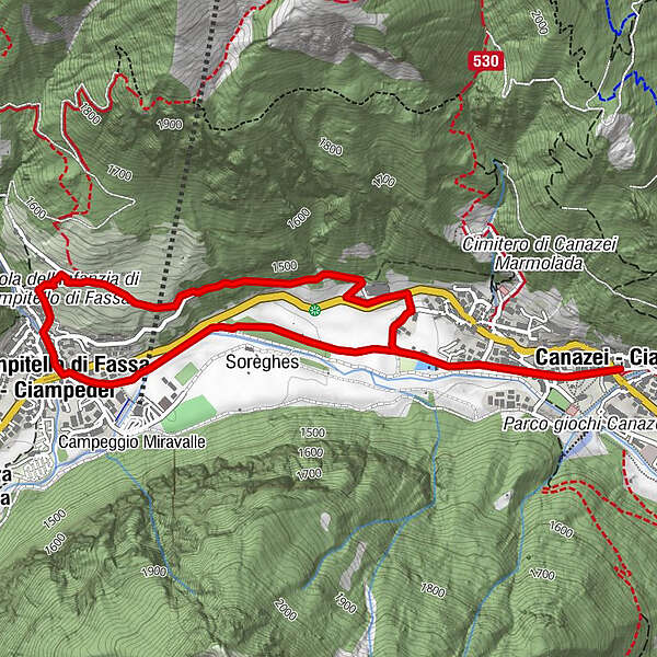
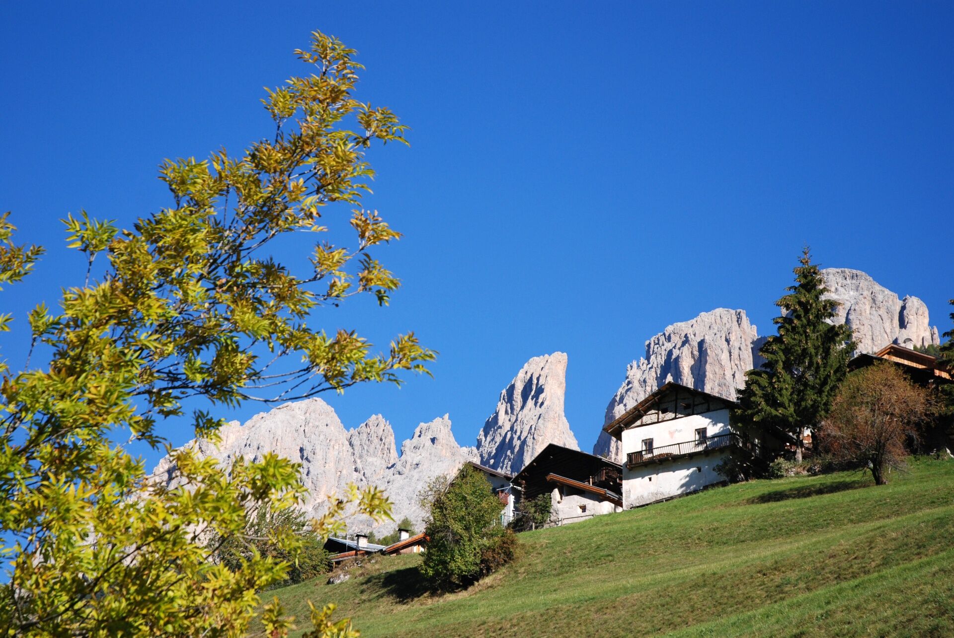
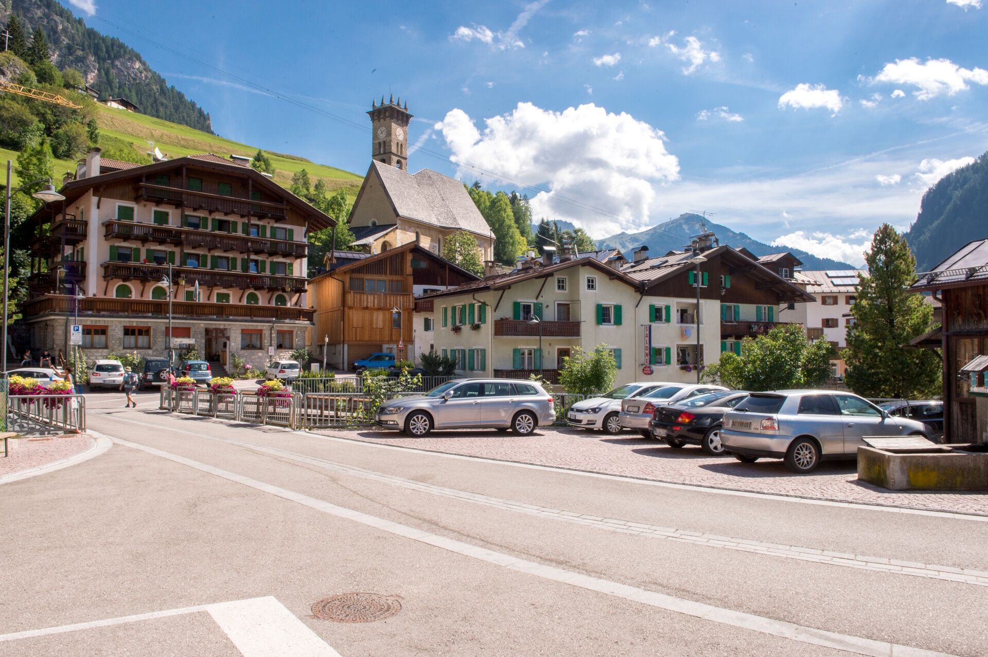
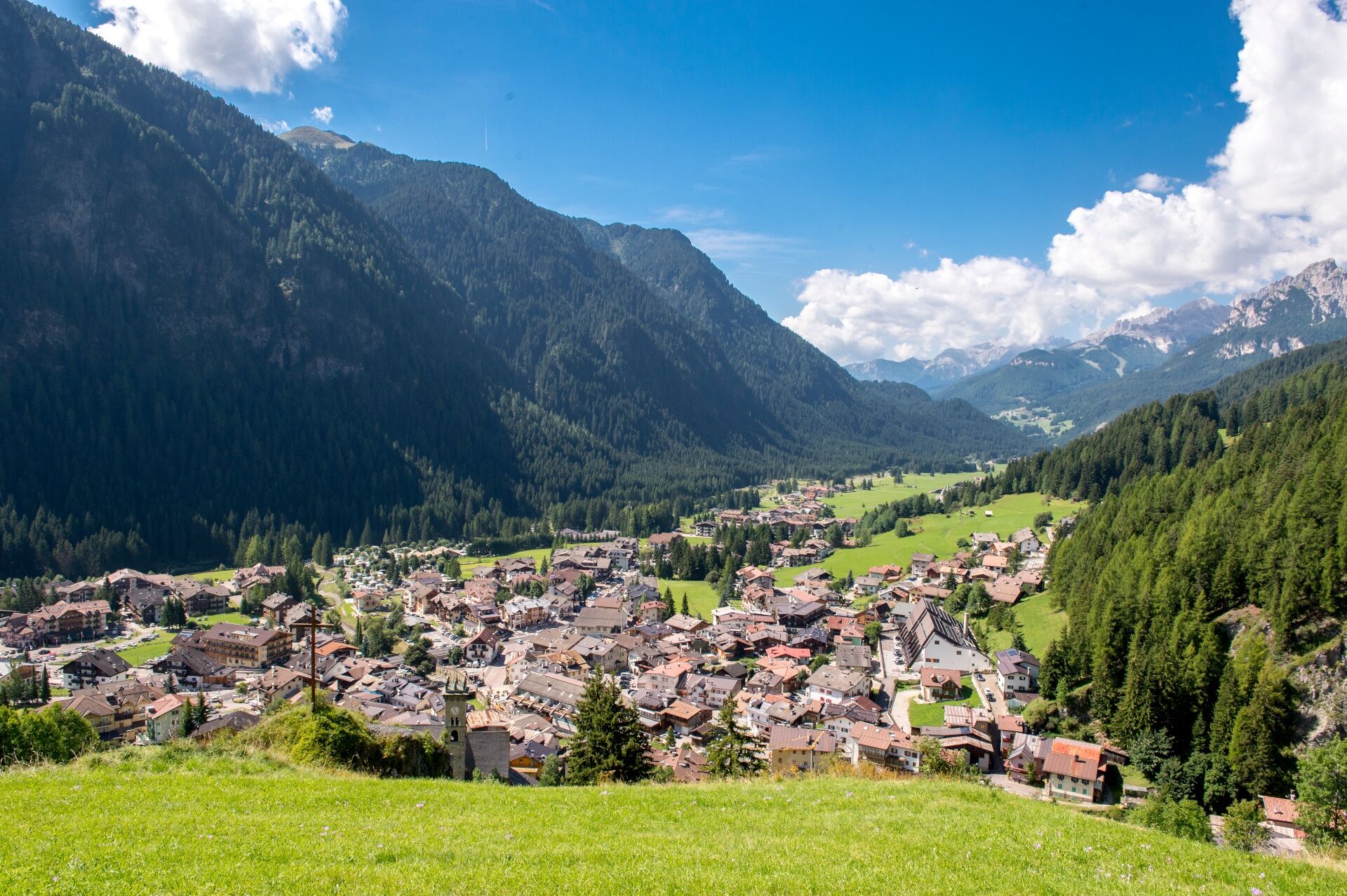
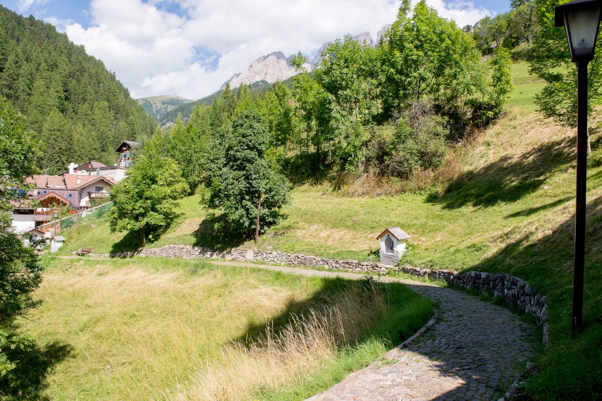
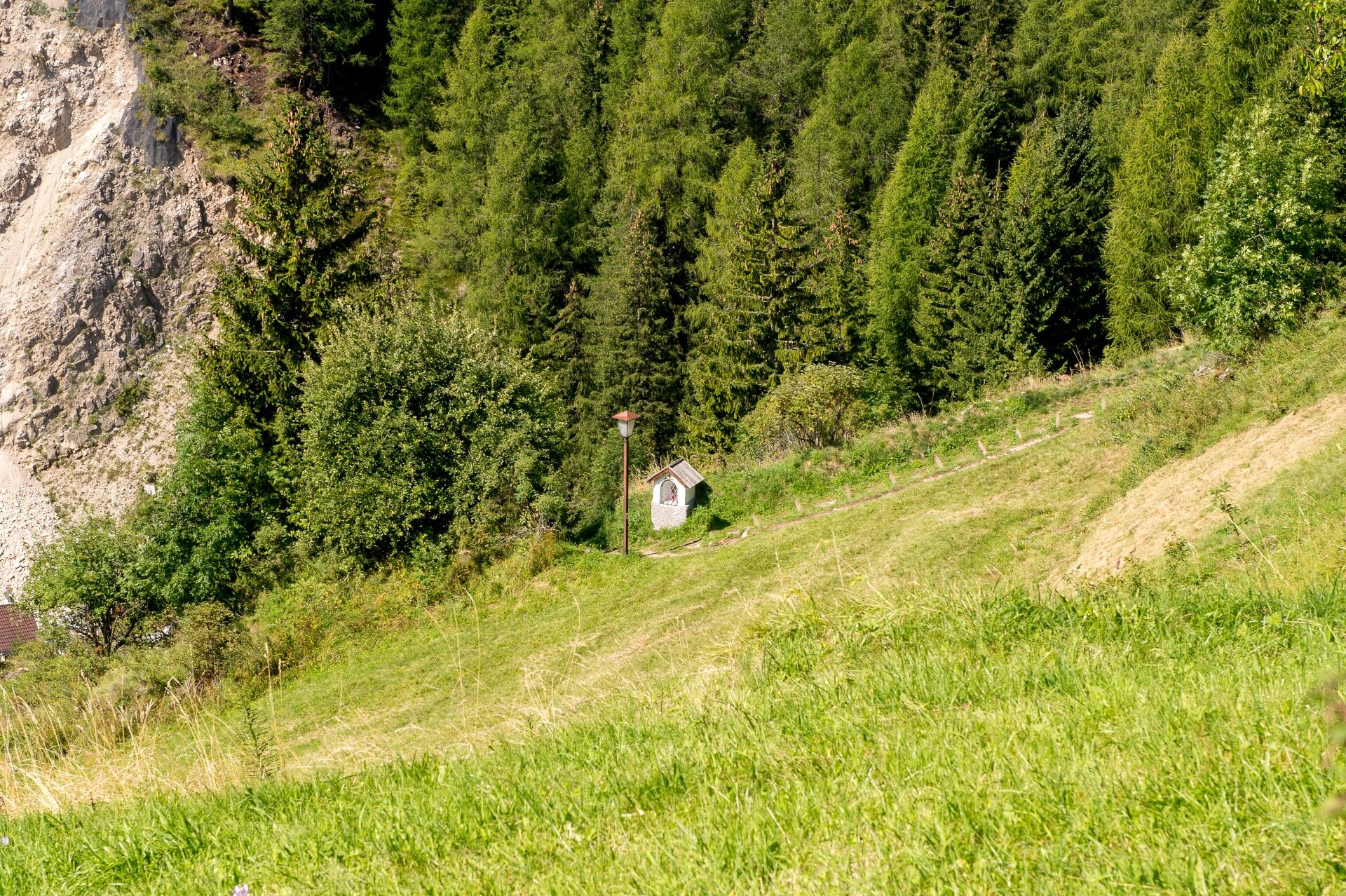
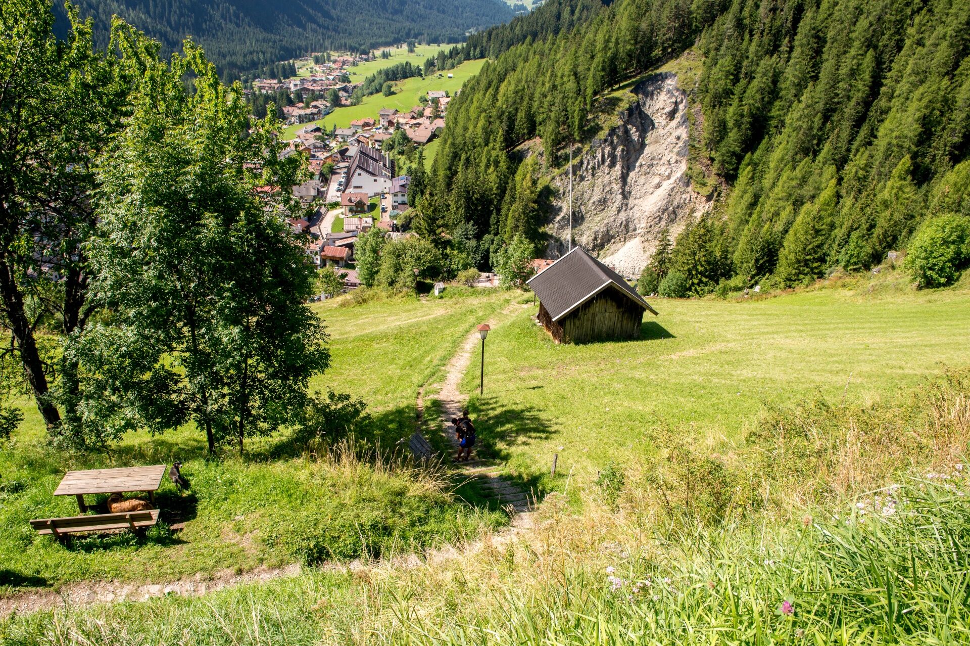
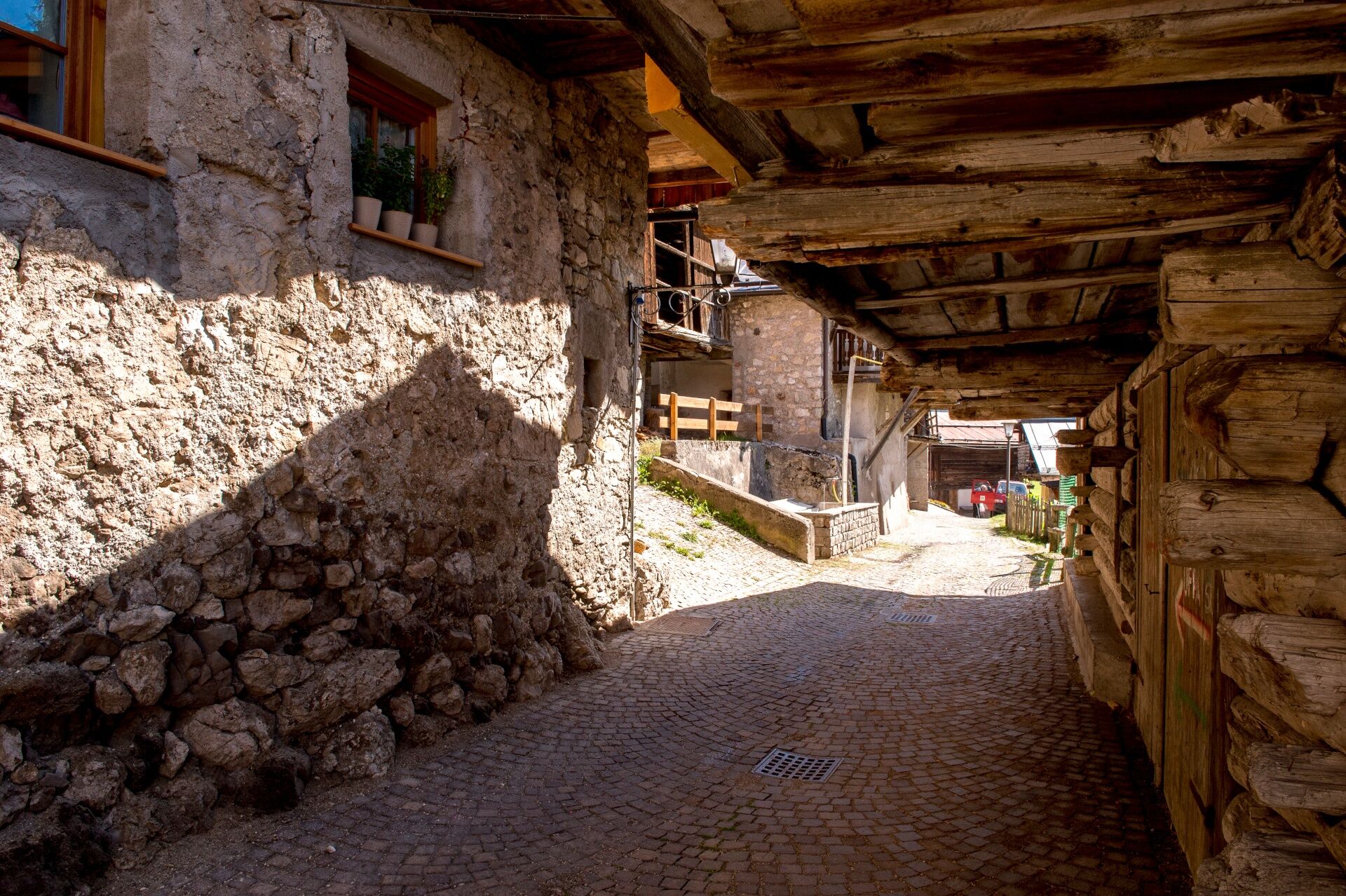
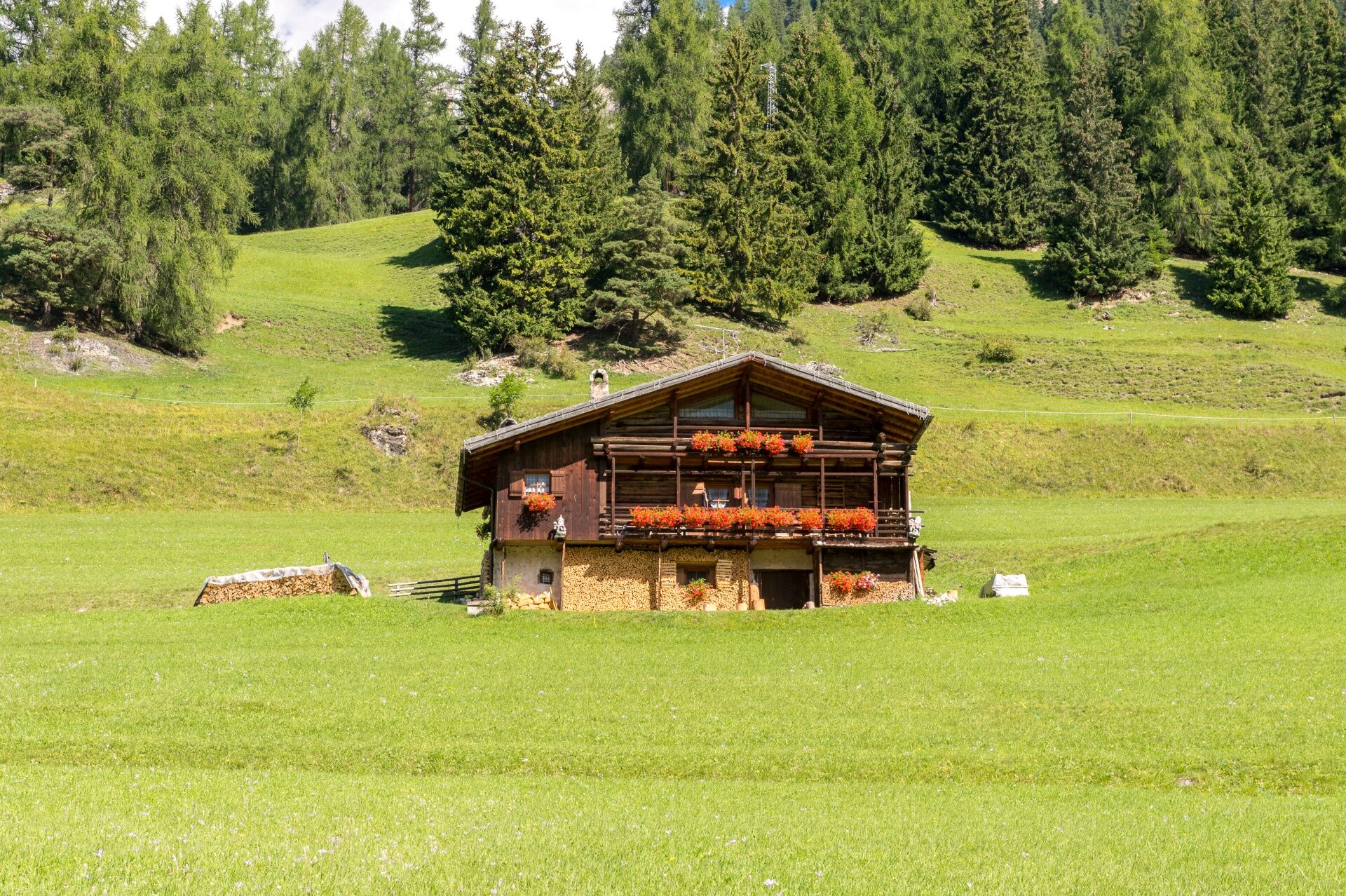
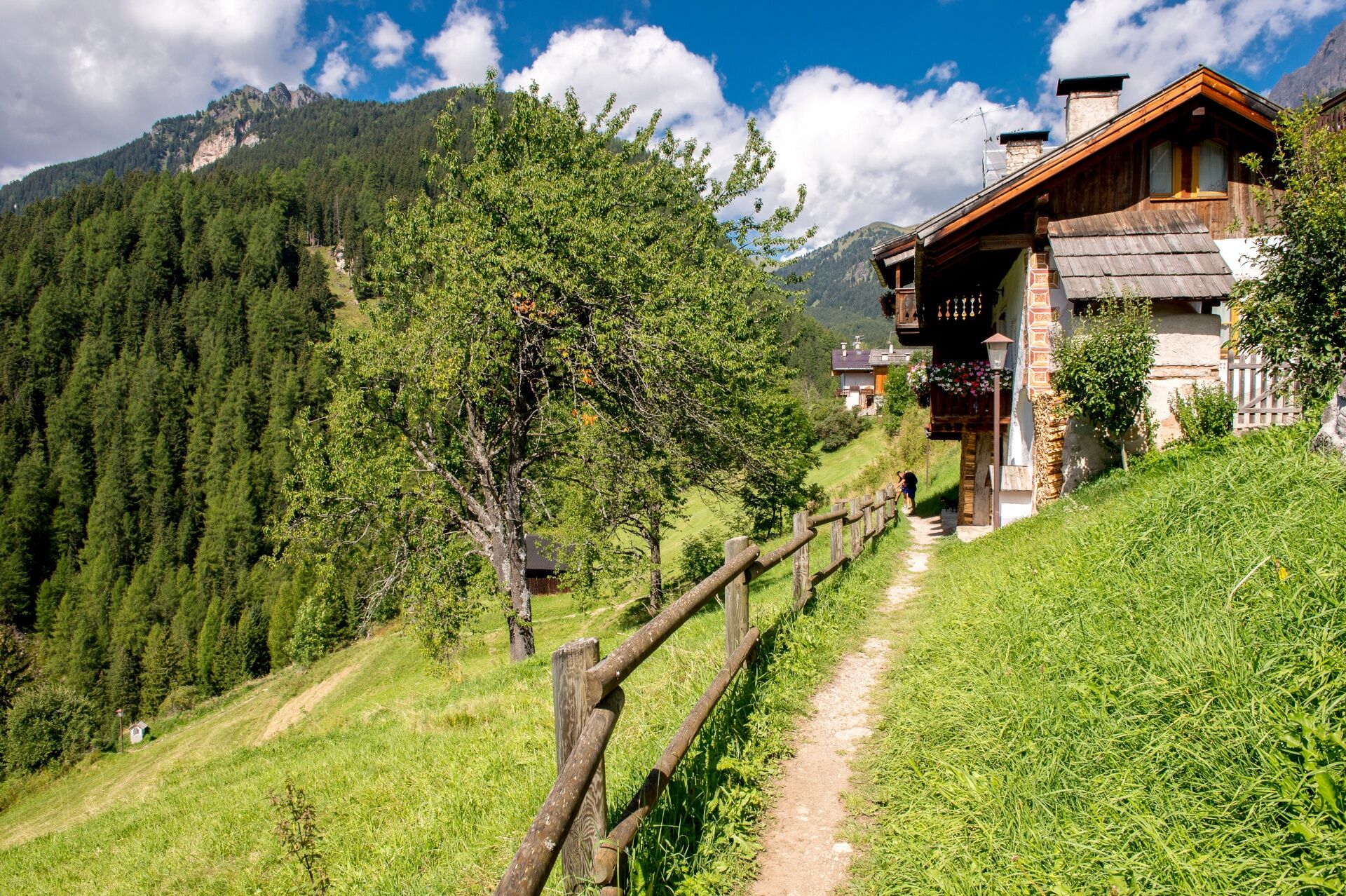
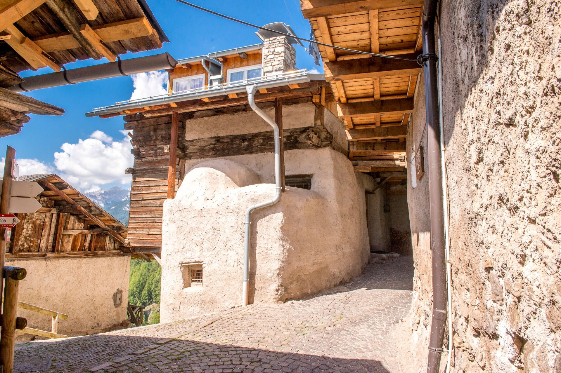
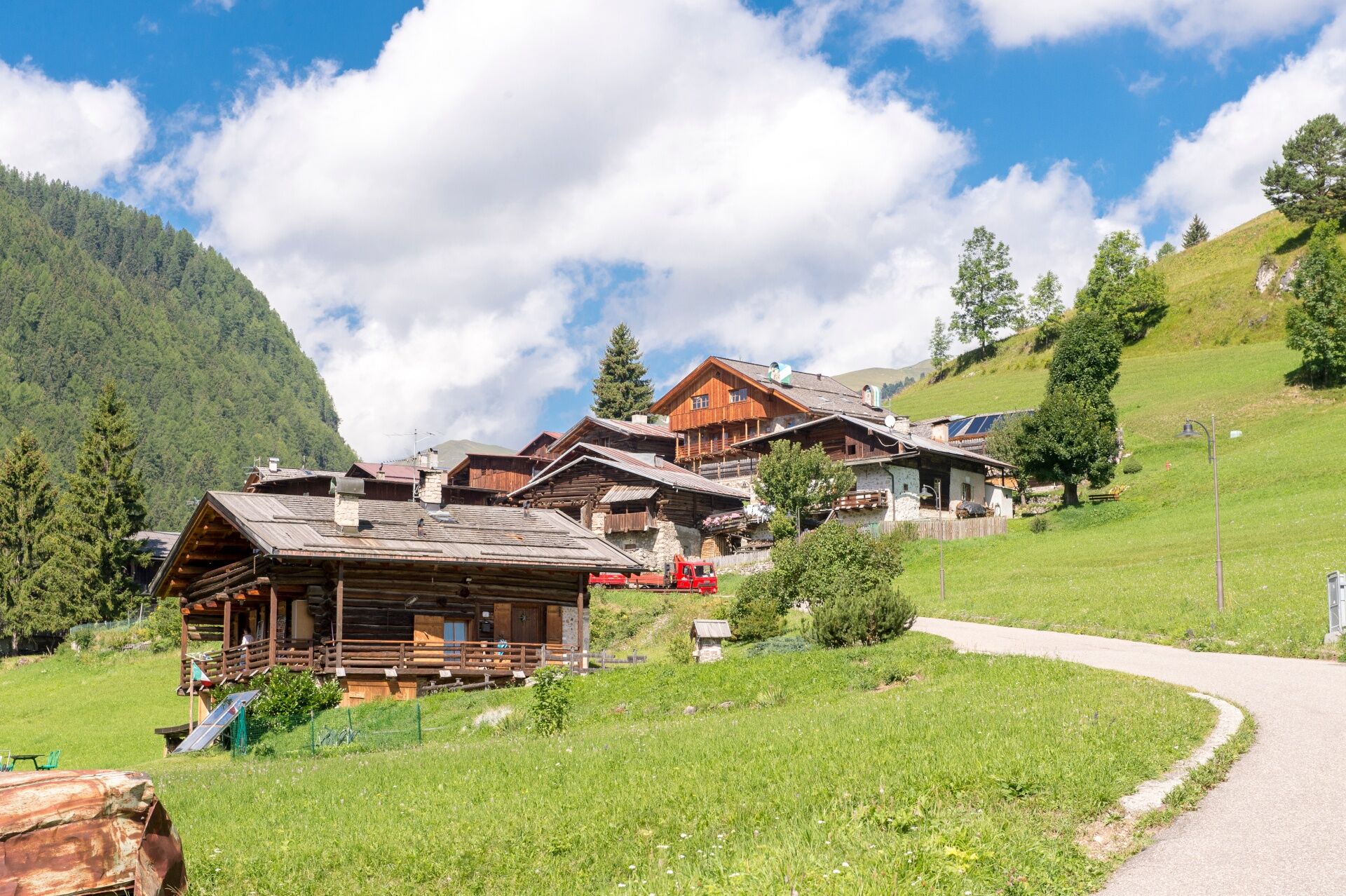
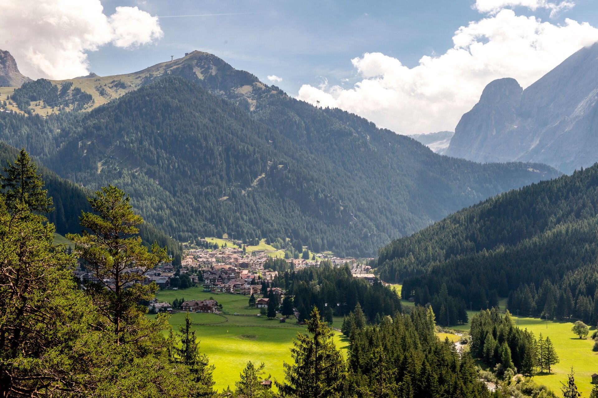
This walk connects Campitello to Canazei, passing through "Pian". It is a charming little settlement, testimony of the first people that inhabited Val di Fassa, who chose the sunniest places. The hamlet is reachable following the Via Crucis, which features some peculiar Ladin mottos.
- Difficulté
-
facile
- Évaluation
-
- Parcours
-
KanzeneiPian2,6 kmCampitello di Fassa3,3 kmKanzenei5,6 km
- Meilleure saison
-
janv.févr.marsavrilmaijuinjuil.aoûtsept.oct.nov.déc.
- Hauteur maximale
- 1.532 m
- Point de mire
-
Canazei (Piaz G. Marconi)
- Profil en hauteur
-
 © outdooractive.com
- Auteur
-
La randonnée Campitello - Pian - Canazei - Campitello est utilisé par outdooractive.com fourni par.
GPS Downloads


Informations générales
Culturel/Historiquement
Secret
Prometteur
Autres parcours dans les régions
-
Dolomiten
1819
-
Sellaronda
1114
-
Campitello di Fassa
455