- Brève description
-
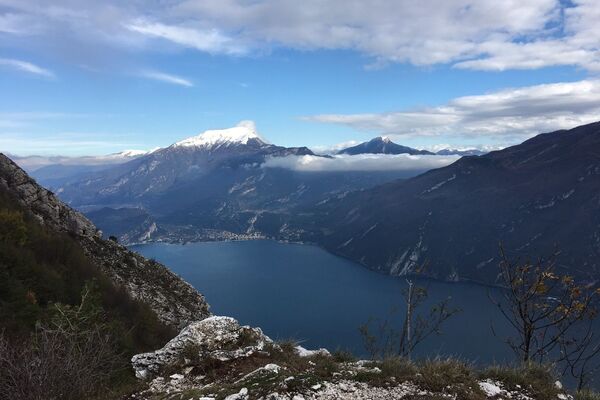
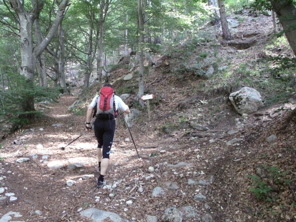
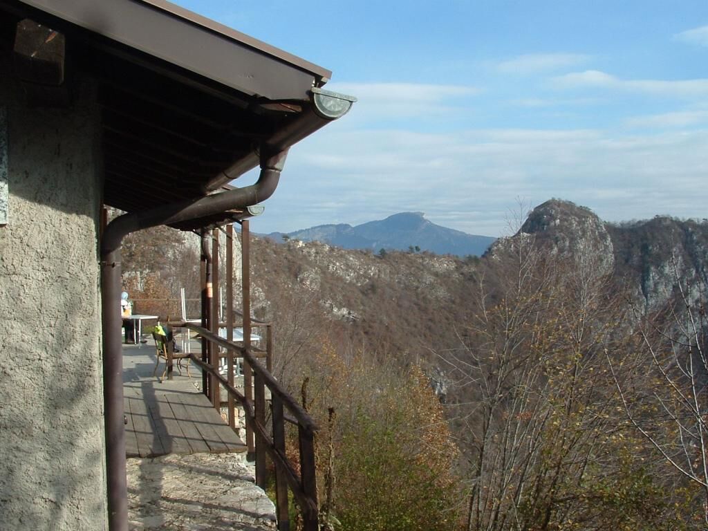
Climb up from the little church of San Giovanni to the Arcioni bivouac with its panoramic terrace.
- Difficulté
-
facile
- Évaluation
-
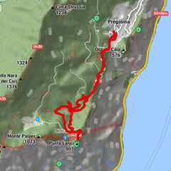
- Parcours
-
Caregna0,6 kmChiesa di San Giovanni Battista2,3 kmBivacco Arcioni2,4 kmBiacesa di Ledro4,9 km
- Meilleure saison
-
janv.févr.marsavrilmaijuinjuil.aoûtsept.oct.nov.déc.
- Hauteur maximale
- 824 m
- Point de mire
-
Biacesa – sports field (470 m)
- Profil en hauteur
-
 © outdooractive.com


-

-
AuteurLa randonnée Church of San Giovanni - Bivacco Arcioni est utilisé par outdooractive.com fourni par.
GPS Downloads


Informations générales
Climat thérapeutique
Prometteur
Autres parcours dans les régions
-
Gardasee / Lombardei
433
-
Garda Trentino
660
-
Prè di Ledro
282