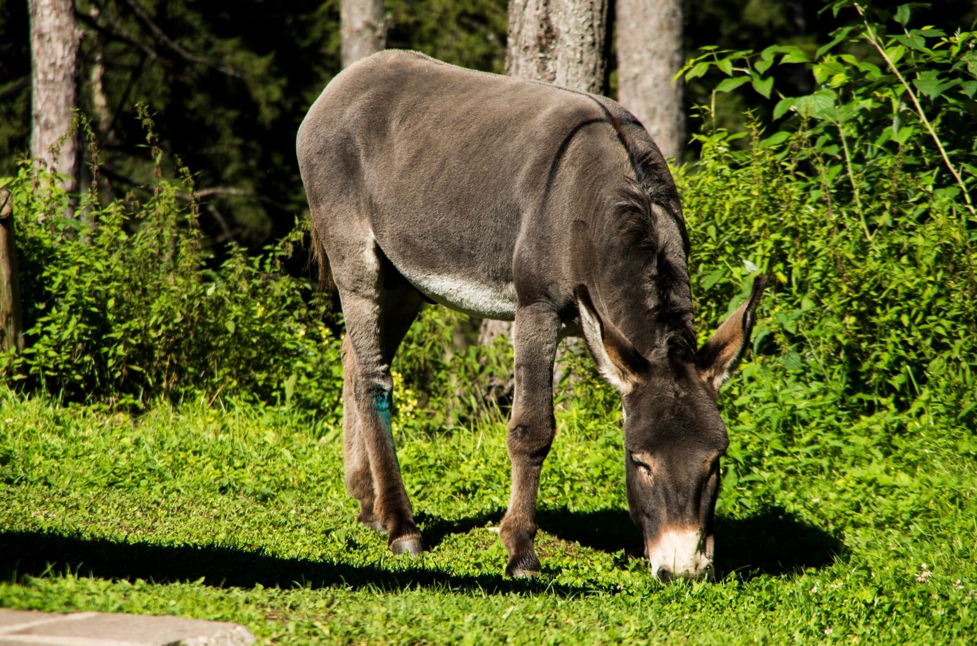
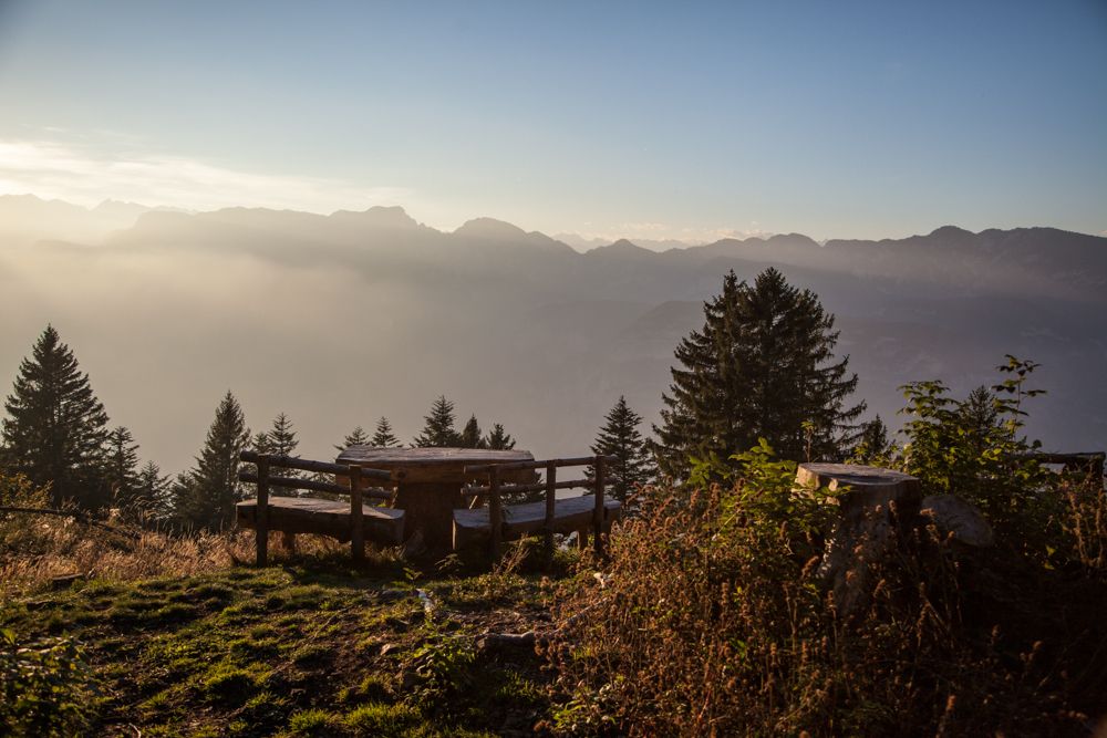
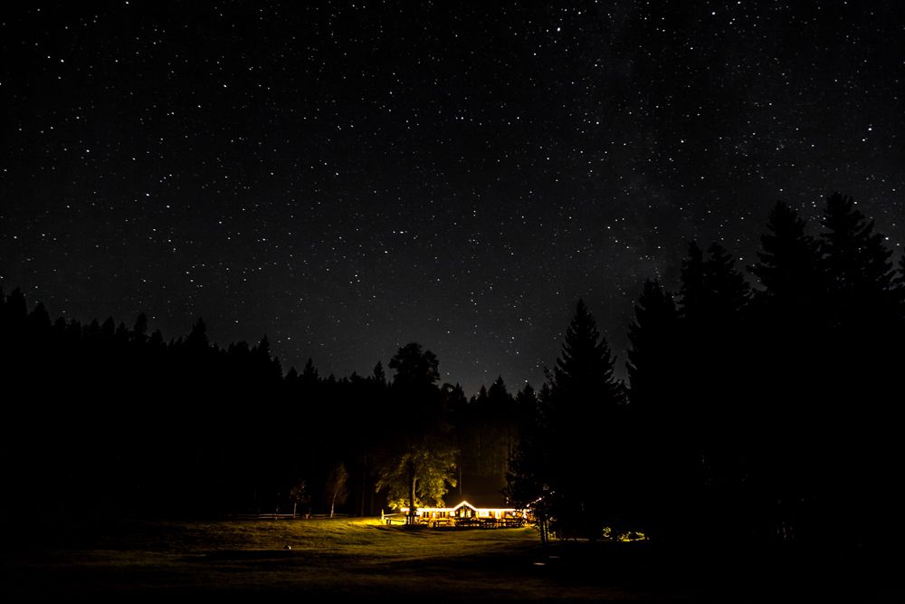
© Rete di Riserve Val di Cembra Avisio - Patrick Odorizzi

© Rete di Riserve Val di Cembra Avisio - Patrick Odorizzi

© Rete di Riserve Val di Cembra Avisio - Paolo Piffer

© Rete di Riserve Val di Cembra Avisio - Paolo Piffer

© Rete di Riserve Val di Cembra Avisio - Paolo Piffer

© Rete di Riserve Val di Cembra Avisio - Alessandro Cristofoletti

© Rete di Riserve Val di Cembra Avisio - Alessandro Cristofoletti

- Brève description
-
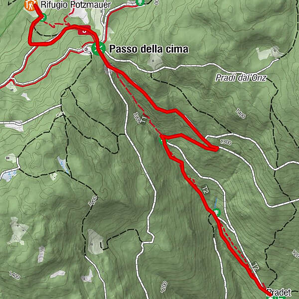
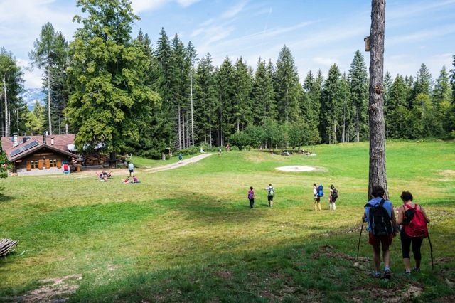
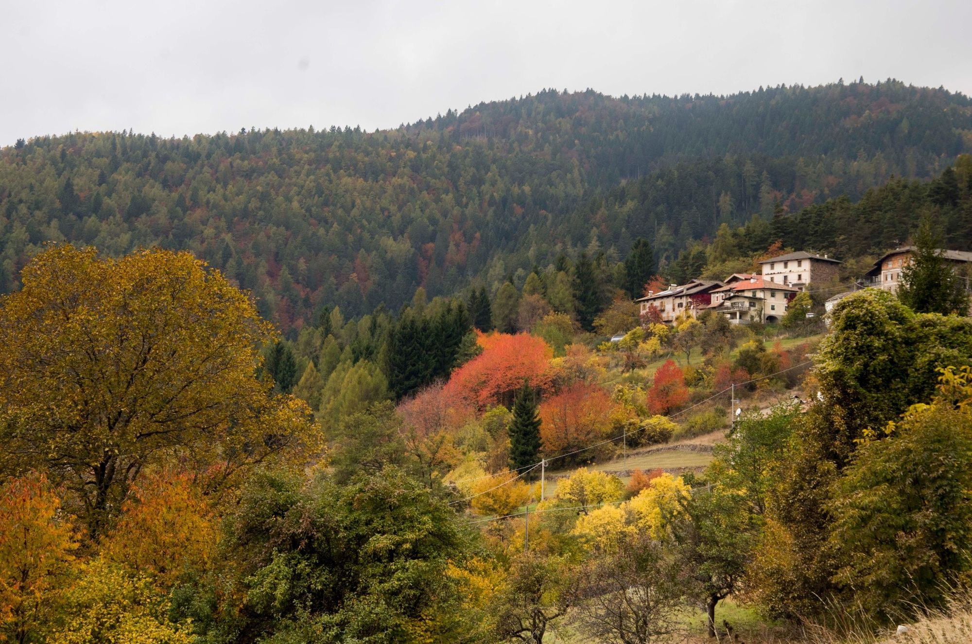
Trail from the farms Masi di Grumes to the mountain hut Potzmauer, the hut into the woods.
- Difficulté
-
facile
- Évaluation
-
- Parcours
-
PradetRifugio Potzmauer2,4 kmPradet4,9 km
- Meilleure saison
-
janv.févr.marsavrilmaijuinjuil.aoûtsept.oct.nov.déc.
- Hauteur maximale
- 1.351 m
- Point de mire
-
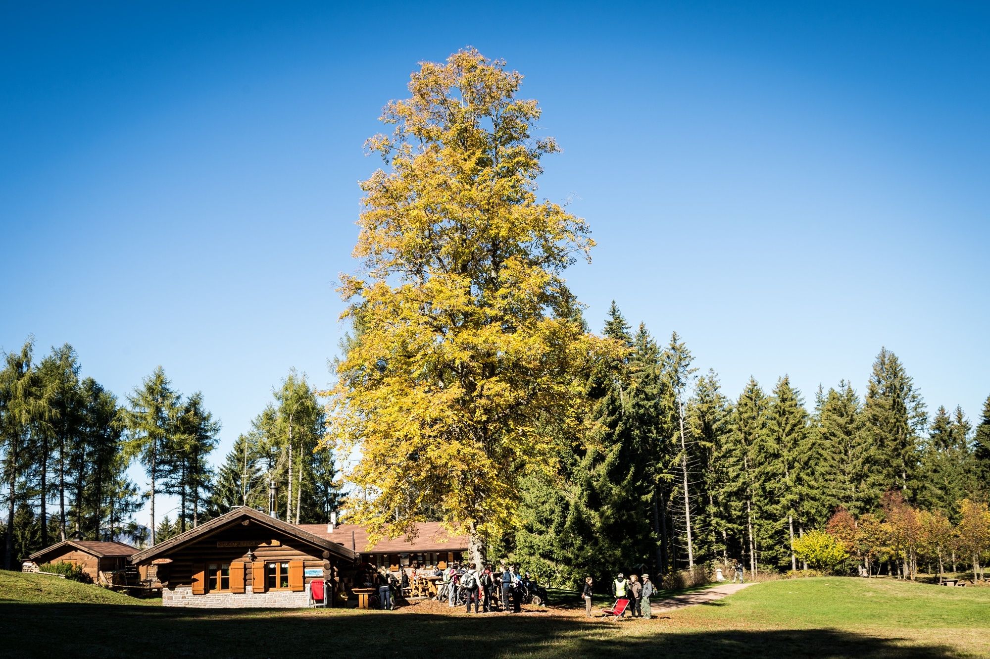
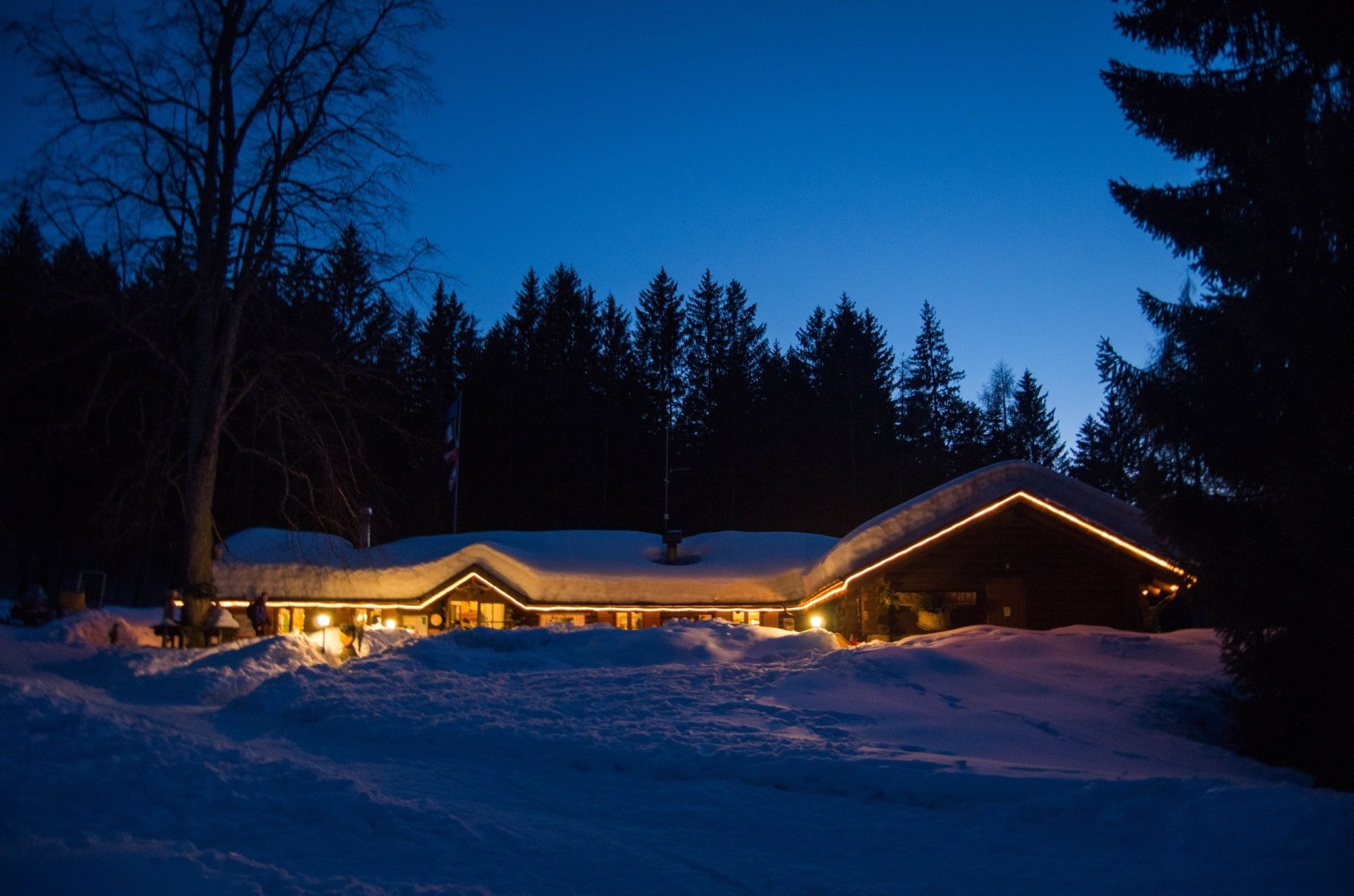
Rifugio Potzmauer (mountain hut)
- Profil en hauteur
-
 © outdooractive.com
-

-
AuteurLa randonnée Hike to the mountain hut Potzmauer. est utilisé par outdooractive.com fourni par.
GPS Downloads


Informations générales
Point de rassemblement
Autres parcours dans les régions