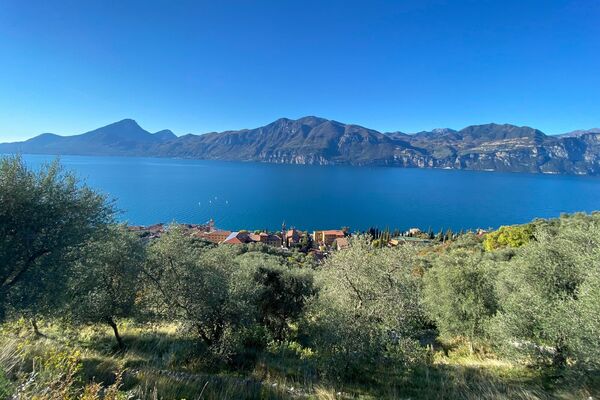
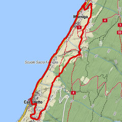
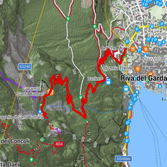
© Garda Trentino - Staff Outdoor Garda Trentino AC

© Garda Trentino - Natalia Pellegrini

© Garda Trentino - Staff Outdoor Garda Trentino AC

© Garda Trentino - Staff Outdoor Garda Trentino AC

© Garda Trentino - Staff Outdoor Garda Trentino AC

© Garda Trentino - Staff Outdoor Garda Trentino AC

© Garda Trentino - Staff Outdoor Garda Trentino AC

© Garda Trentino - Staff Outdoor Garda Trentino AC

© Garda Trentino - Staff Outdoor Garda Trentino AC

© Garda Trentino - Voglino e Porporato


- Brève description
-
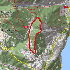
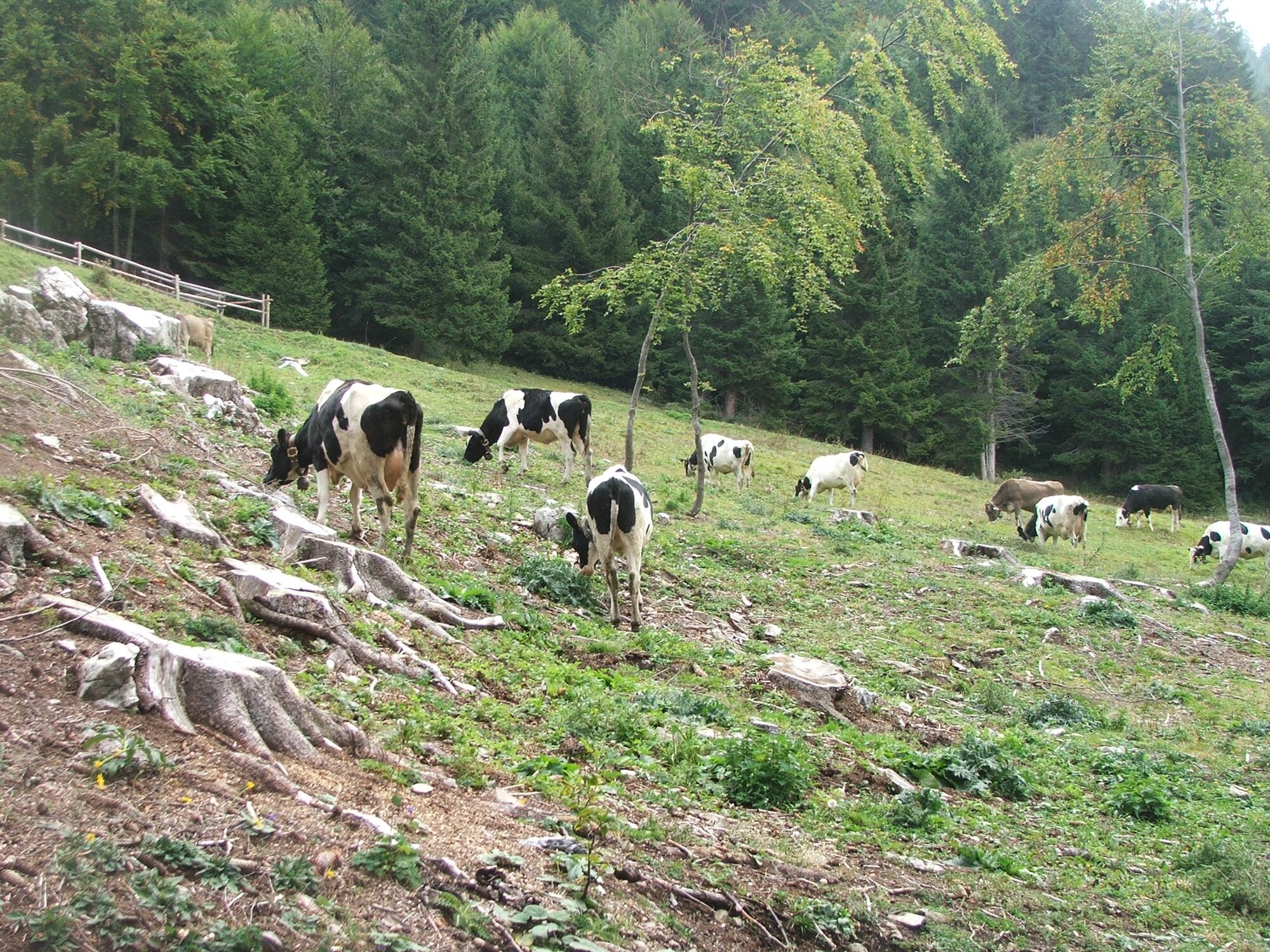
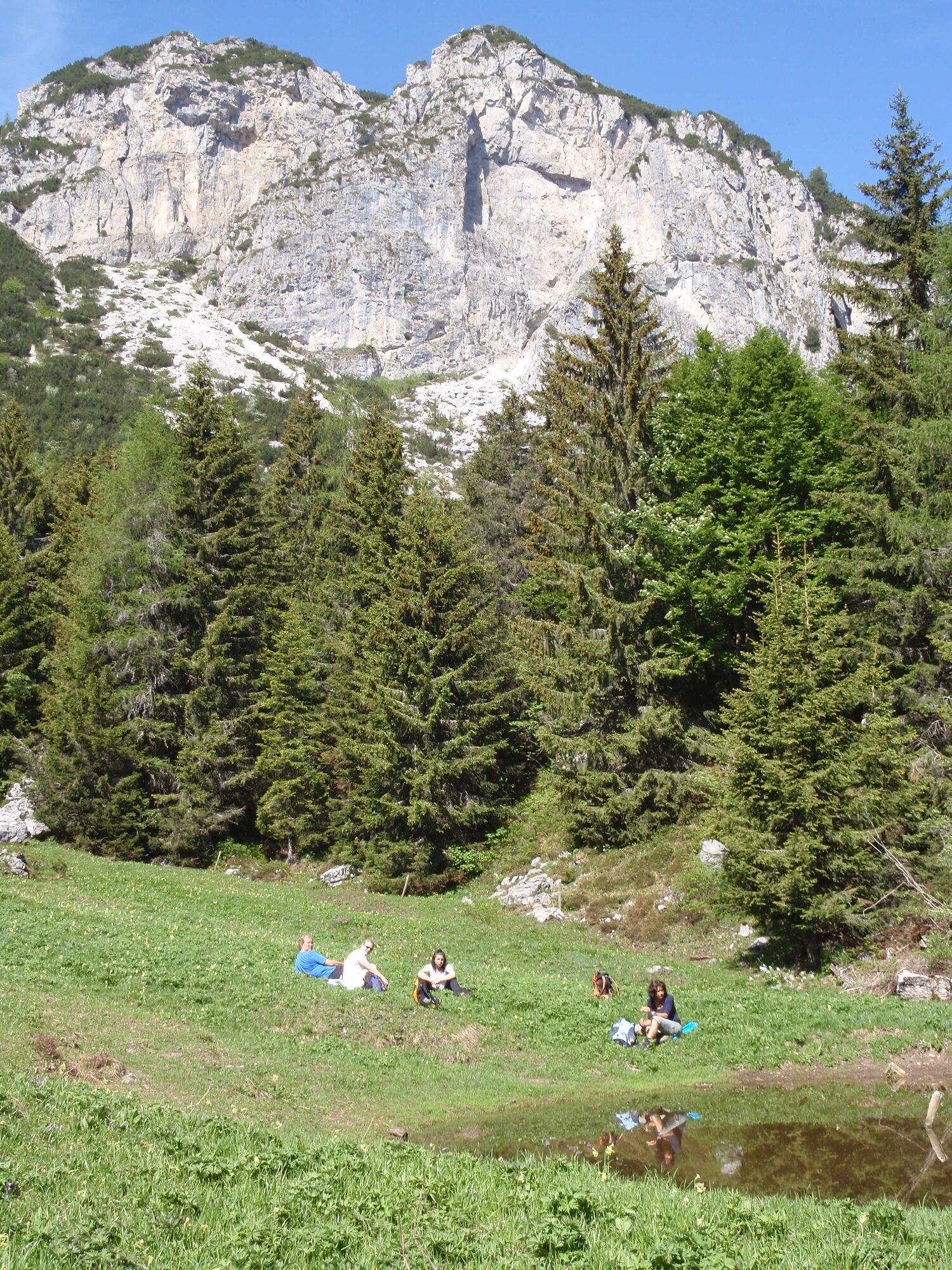
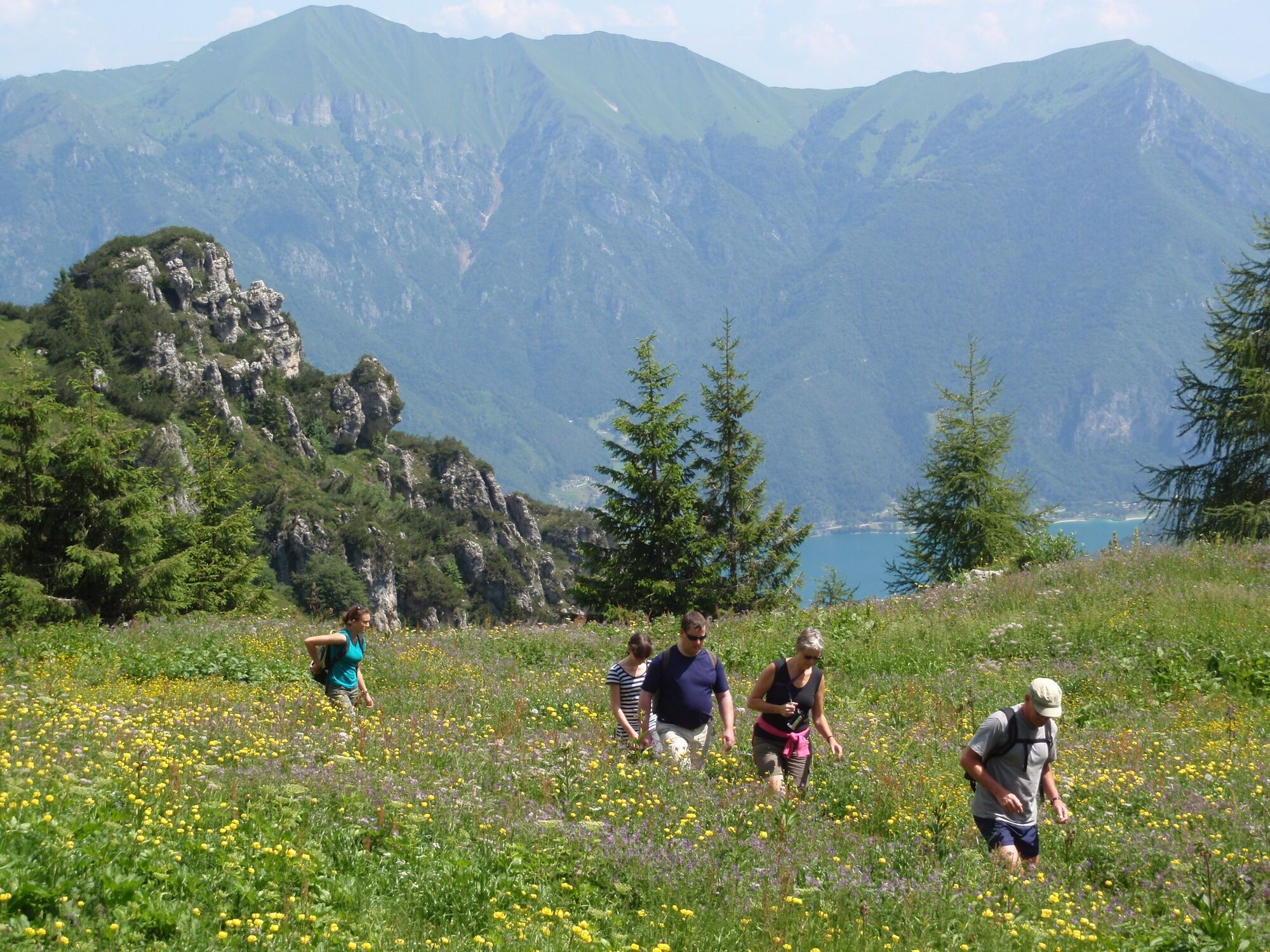
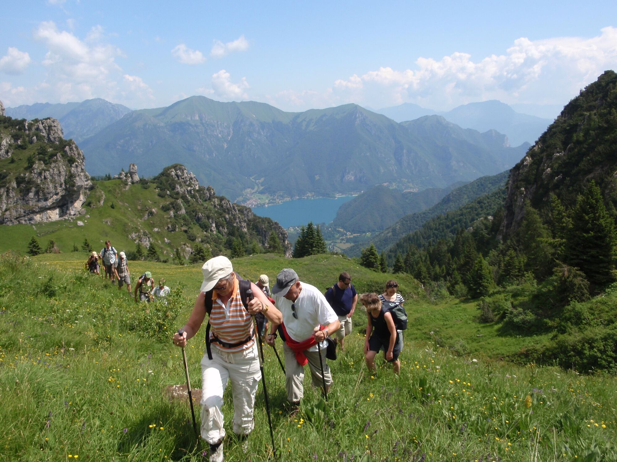
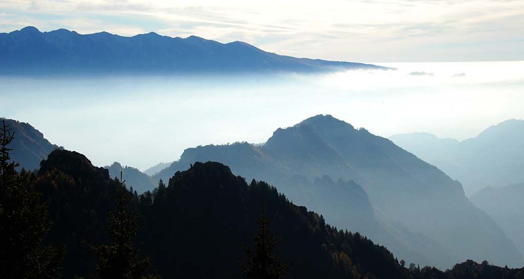
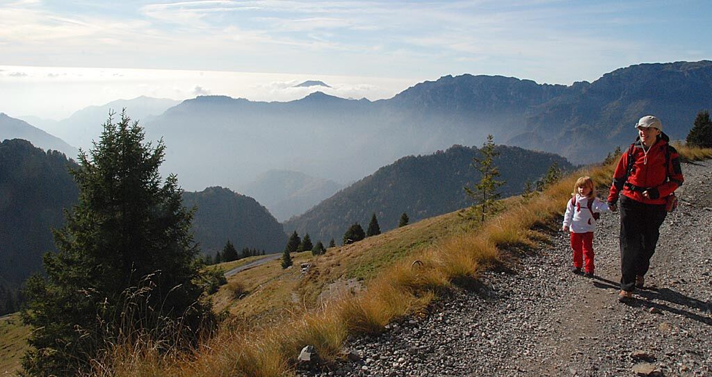
The route alternates the meadows of Tremalzo and Giù to the woods of Caset and the rocks and pines of the Marogna. From the Corno della Marogna the eye can sweep all around. Northwards towards Valle di Ledro, westwards towards the Adamello group, to the east towards Lake Garda and to the south towards the Alpine foothills.
- Difficulté
-
moyen
- Évaluation
-
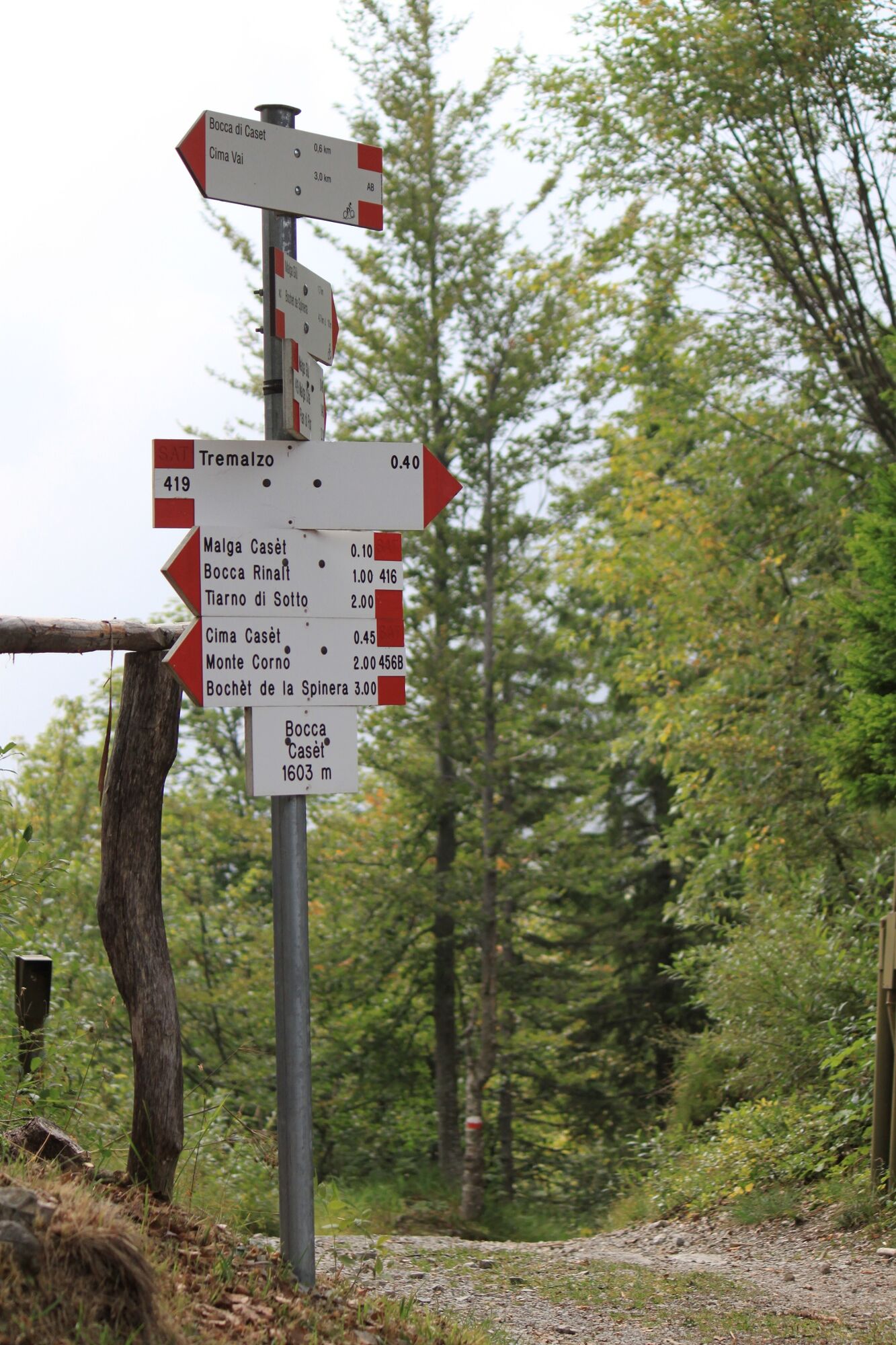
- Parcours
-
Bivacco malga Pertega5,0 kmMalga Pertega5,0 kmVal Bella5,9 kmAlbergo Ristorante Garda10,6 kmRistorante Da Richetto11,3 kmTremalzo11,4 km
- Meilleure saison
-
janv.févr.marsavrilmaijuinjuil.aoûtsept.oct.nov.déc.
- Hauteur maximale
- 1.903 m
- Point de mire
-
Corno della Marogna
- Profil en hauteur
-
 © outdooractive.com


-

-
AuteurLa randonnée Around Monte Tremalzo est utilisé par outdooractive.com fourni par.
GPS Downloads


Informations générales
Point de rassemblement
Culturel/Historiquement
Flore
Faune
Prometteur
Autres parcours dans les régions
-
Gardasee / Lombardei
437
-
Valle di Ledro
567
-
Tiarno di Sotto
192