© APT Trento - E-Borghi

© APT Trento - E-Borghi

© APT Trento - E-Borghi

© APT Trento - E-Borghi

© APT Trento - E-Borghi

© APT Trento - E-Borghi

© APT Trento - E-Borghi

- Brève description
-
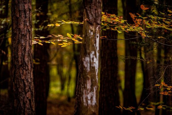
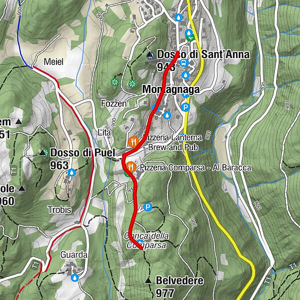
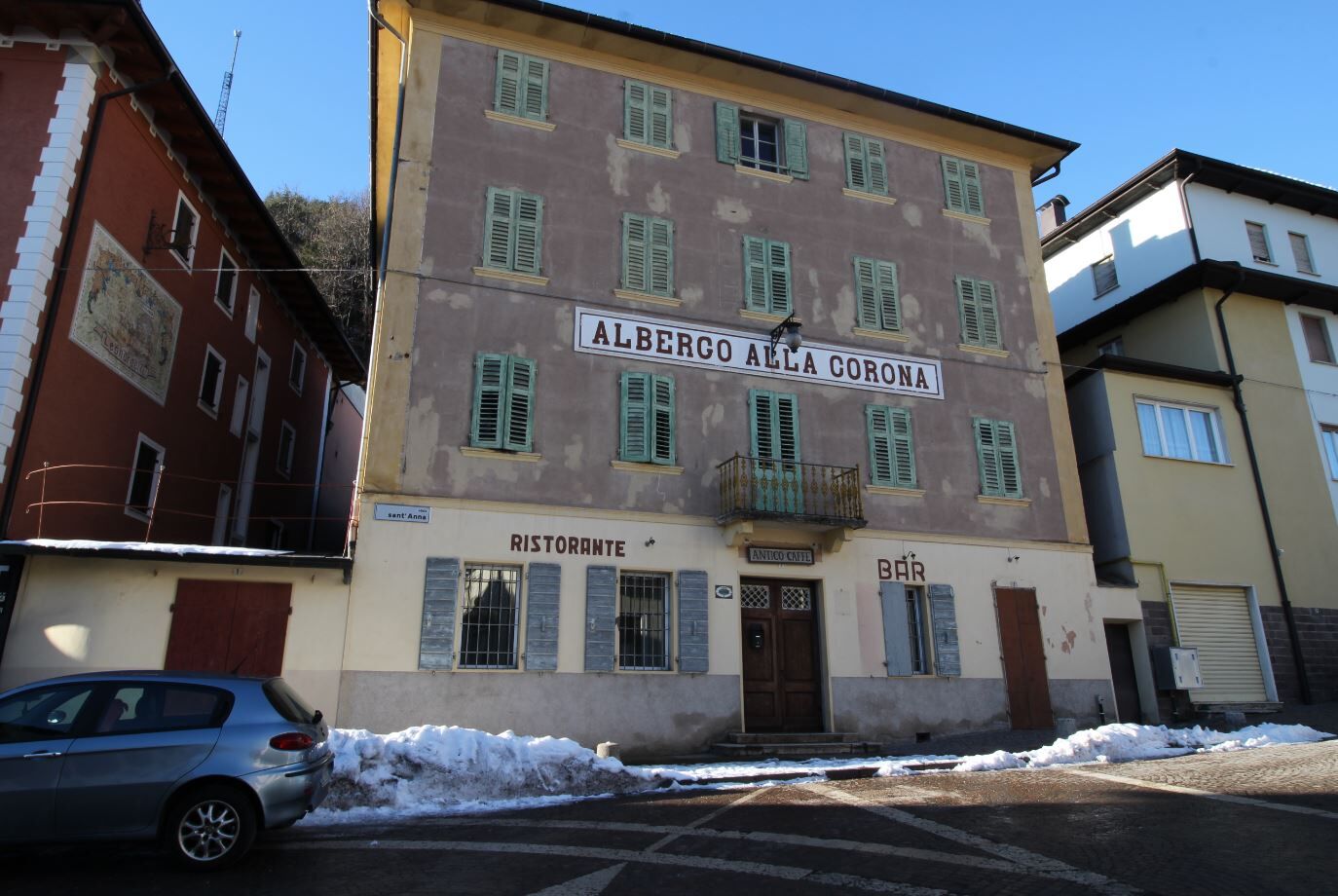
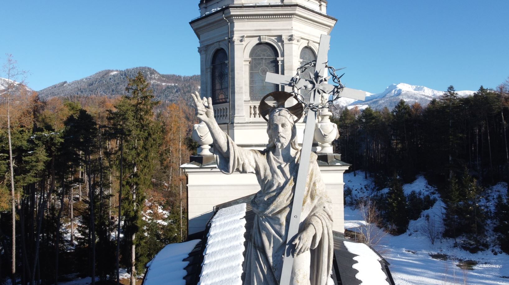
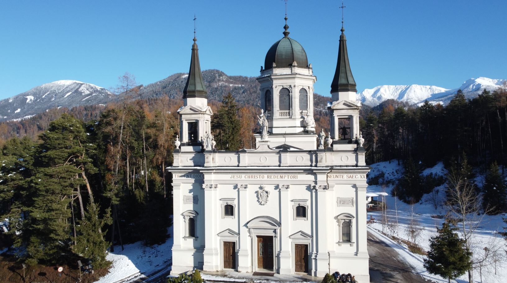
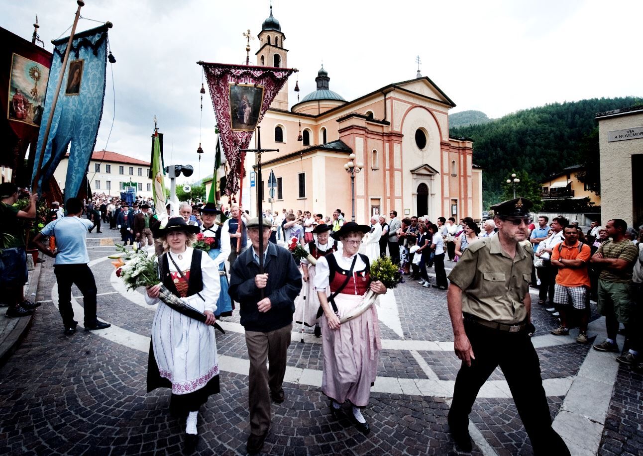
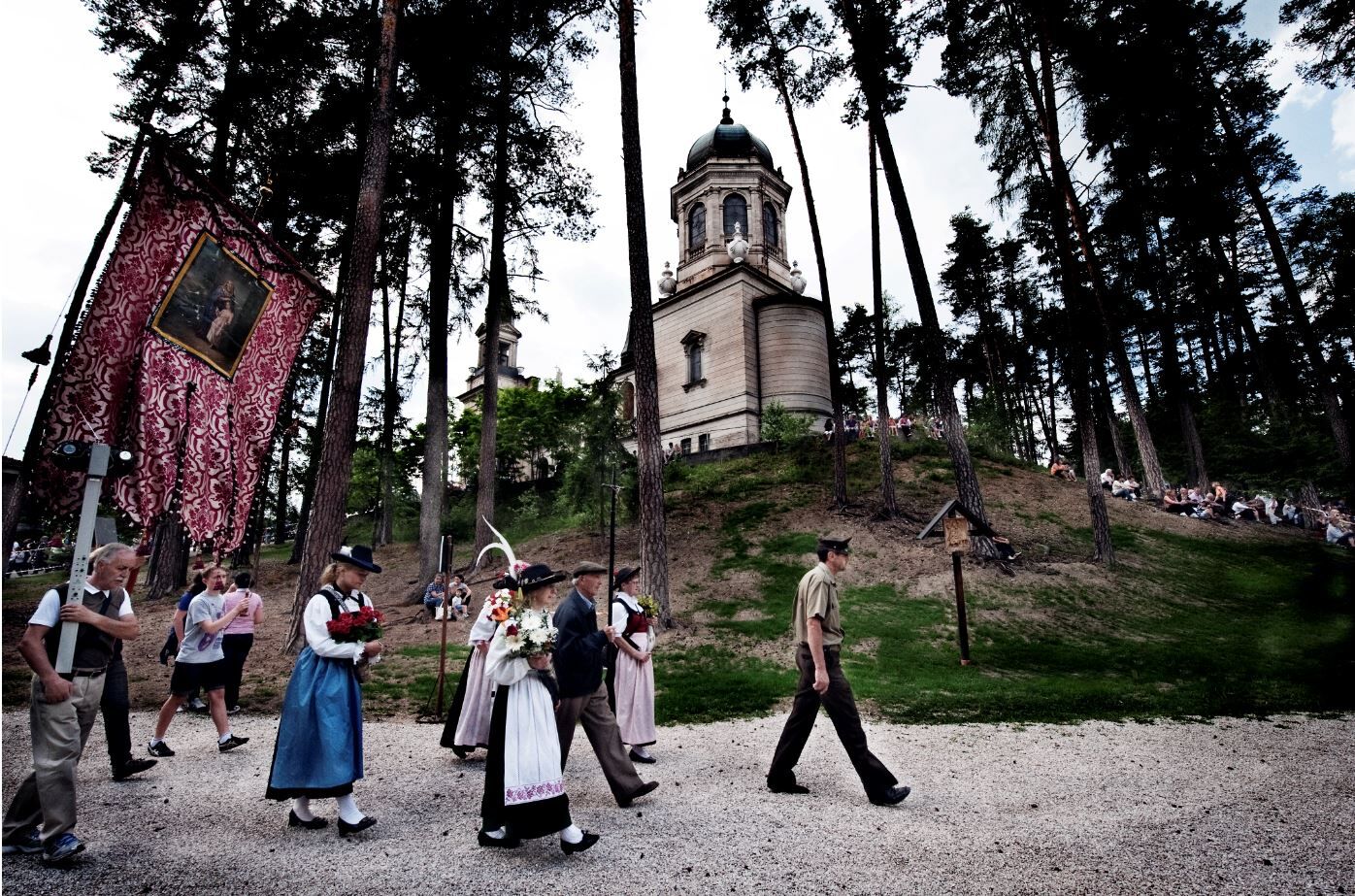
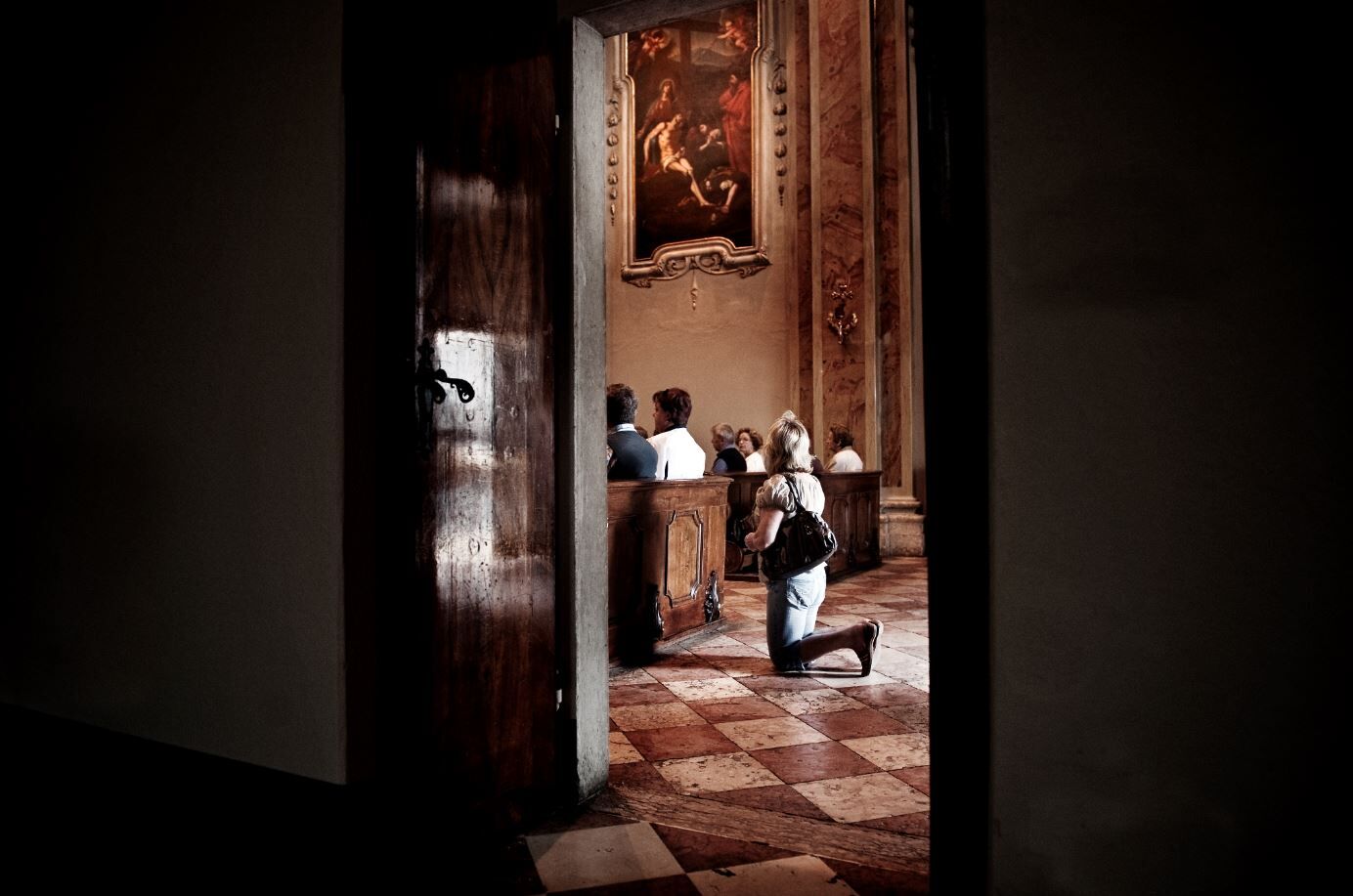
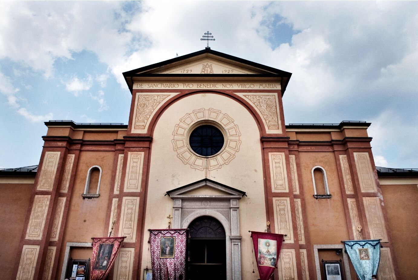
A short walk that allows two sanctuaries to be united in a single route, while at the same time allowing you to explore the most historic street in the village of Montagnaga, and then enjoy a breathtaking panorama at the Sanctuary of the Redeemer.
- Difficulté
-
facile
- Évaluation
-
- Parcours
-
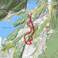
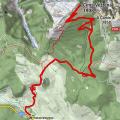
Erspan0,0 kmMontagnaga (882 m)0,2 kmFregolotti0,2 kmPizzeria Lanterna - Brew and Pub0,4 kmPizzeria Comparsa - Al Baracca0,6 kmMonumento al Redentore0,9 kmCa'dei Boci2,0 km
- Meilleure saison
-
janv.févr.marsavrilmaijuinjuil.aoûtsept.oct.nov.déc.
- Hauteur maximale
- 930 m
- Point de mire
-
Santuario del Redentore - Montagnaga
- Profil en hauteur
-
 © outdooractive.com
- Auteur
-
La randonnée From S. Anna to the Redentore est utilisé par outdooractive.com fourni par.
GPS Downloads


Informations générales
Point de rassemblement
Climat thérapeutique
Secret
Prometteur
Autres parcours dans les régions