- Brève description
-
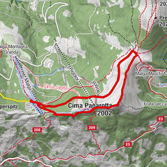
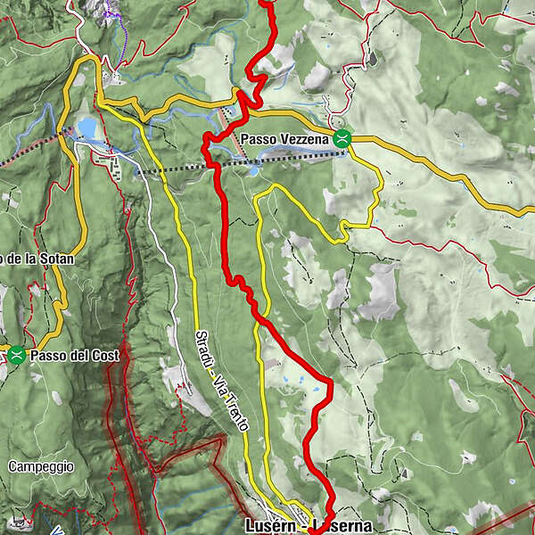
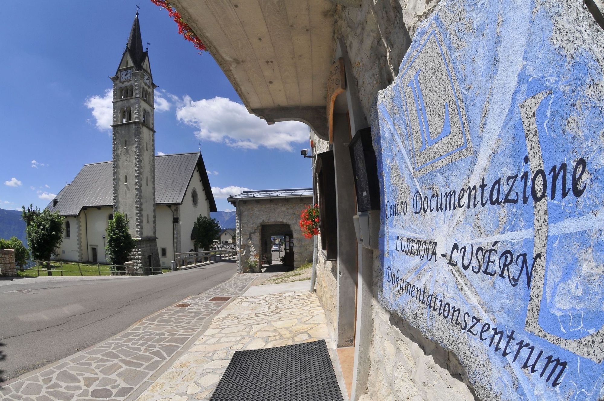
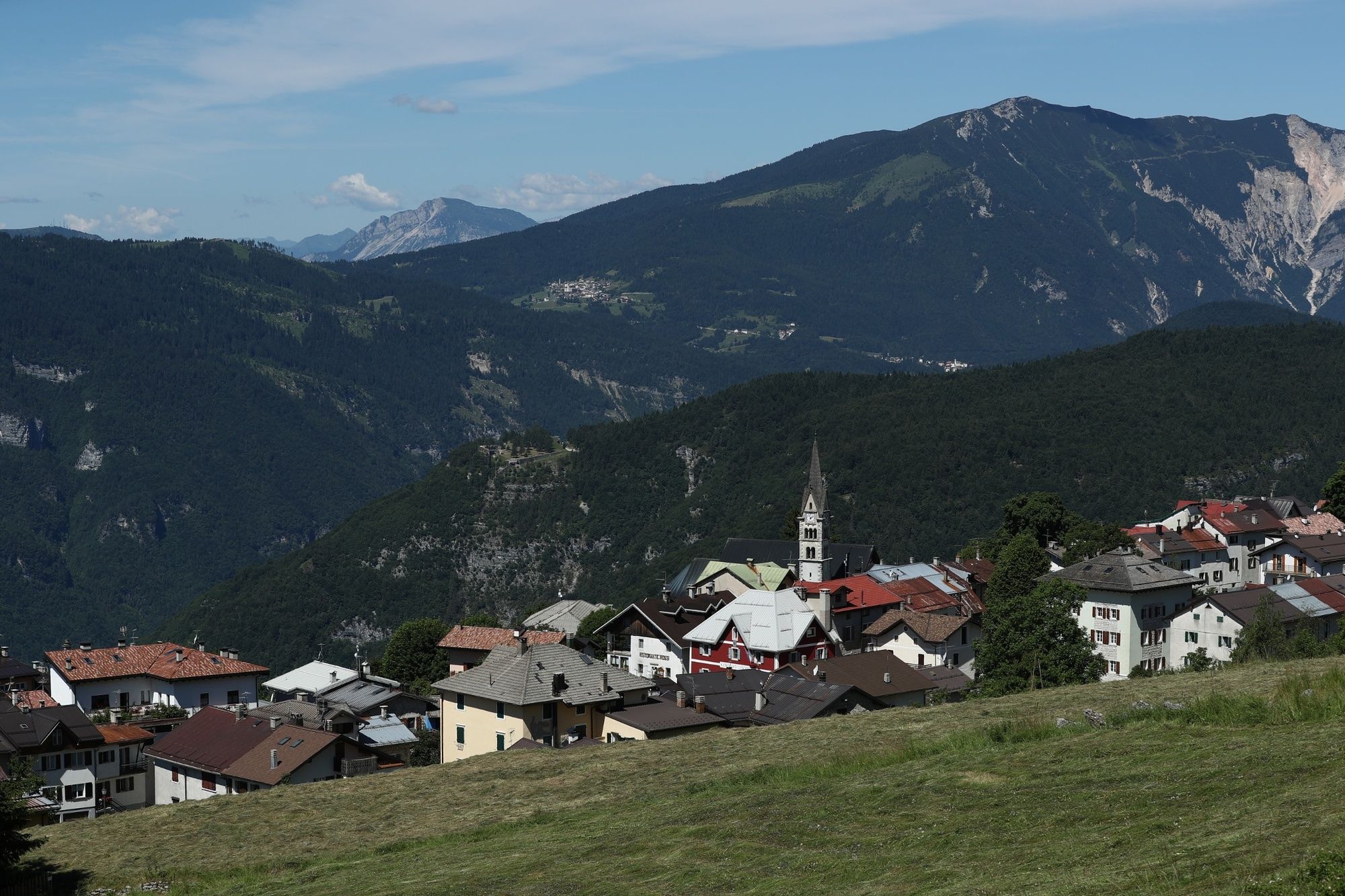
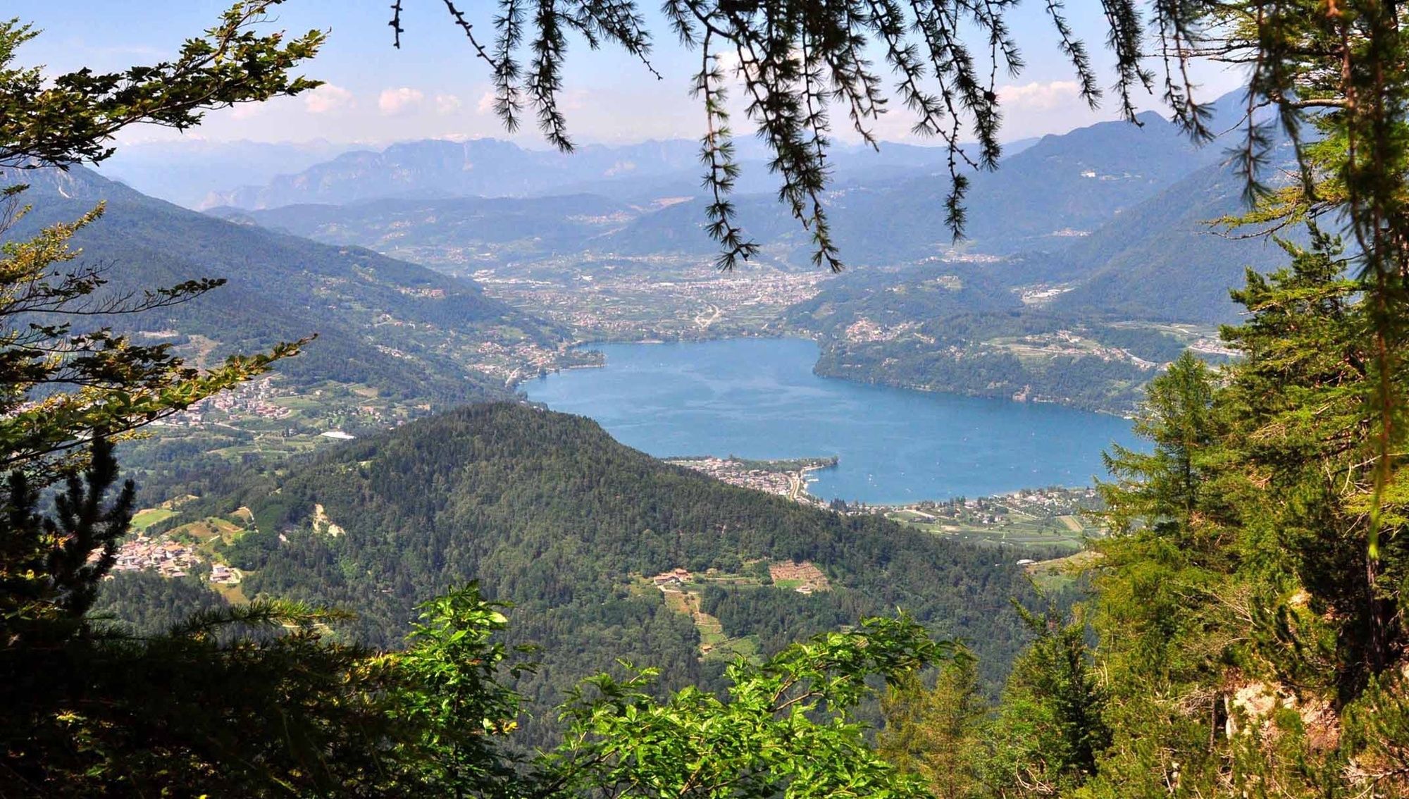
A section of the E5 Lake Constance-Verona Trail, which from S. Giuliana (Caldonazzo - Valsugana) climbs the steep slope overlooking the valley and arrives at the Alpe Cimbra, on the Vèzzena plateau, and then continues on to Luserna/Lusérn, the homeland of the Cimbri. It requires good physical preparation.
- Difficulté
-
difficile
- Évaluation
-
- Parcours
-
Hüttn6,8 kmLusern7,4 km
- Meilleure saison
-
janv.févr.marsavrilmaijuinjuil.aoûtsept.oct.nov.déc.
- Hauteur maximale
- 1.457 m
- Point de mire
-
Luserna/Lusérn
- Profil en hauteur
-
 © outdooractive.com
- Auteur
-
La randonnée SAT / E235 - Caldonazzo - Luserna/Lusérn est utilisé par outdooractive.com fourni par.
GPS Downloads


Informations générales
Flore
Faune
Prometteur
Autres parcours dans les régions