Dates des itinéraires
5,62km
911
- 972m
36hm
65hm
02:00h

- Brève description
-
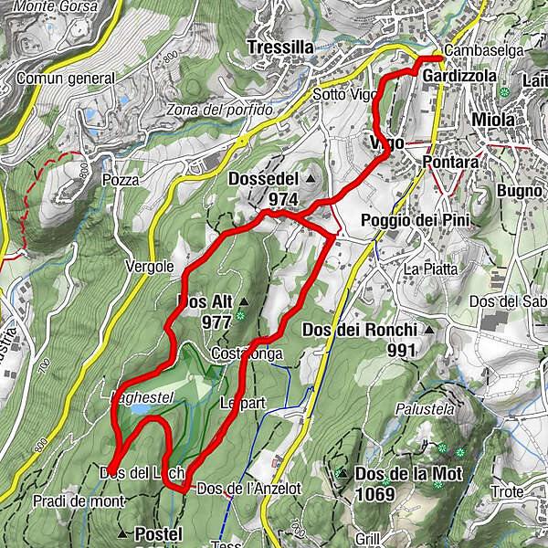
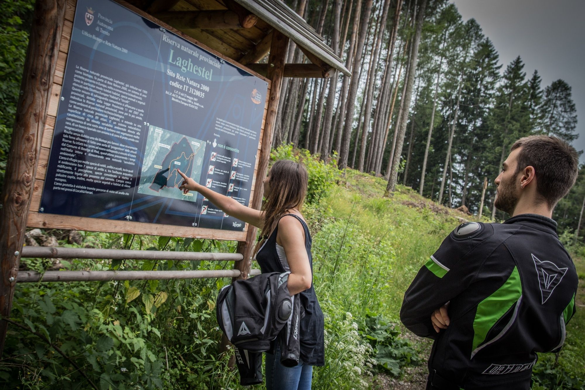
Most of this ring route takes place within a protected wetland area called 'Laghestel'. There are no difficult sections on this route, and the differences in height are minor.
- Difficulté
-
facile
- Évaluation
-
- Parcours
-
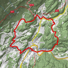
Mühlen im PineidBaselga di PinéGardizzolaVigo0,7 kmFerrari1,3 kmPianaci3,7 kmLe part4,3 kmCostalonga4,6 kmFerrari5,5 km
- Meilleure saison
-
janv.févr.marsavrilmaijuinjuil.aoûtsept.oct.nov.déc.
- Hauteur maximale
- 972 m
- Point de mire
-
Baselga di Piné
- Profil en hauteur
-
 © outdooractive.com
- Auteur
-
La randonnée Ring route within the Laghestel Nature Reserve est utilisé par outdooractive.com fourni par.
GPS Downloads


Informations générales
Flore
Faune
Prometteur
Autres parcours dans les régions