© APT - Alpe Cimbra - Apt Alpe Cimbra

© APT - Alpe Cimbra - Apt Alpe Cimbra

© APT - Alpe Cimbra - Apt Alpe Cimbra

© APT - Alpe Cimbra - Apt Alpe Cimbra

© APT - Alpe Cimbra - Apt Alpe Cimbra

© APT - Alpe Cimbra - Apt Alpe Cimbra

© APT - Alpe Cimbra - Apt Alpe Cimbra

© APT - Alpe Cimbra - Apt Alpe Cimbra

© APT - Alpe Cimbra - Apt Alpe Cimbra

© APT - Alpe Cimbra - Apt Alpe Cimbra
- Brève description
-
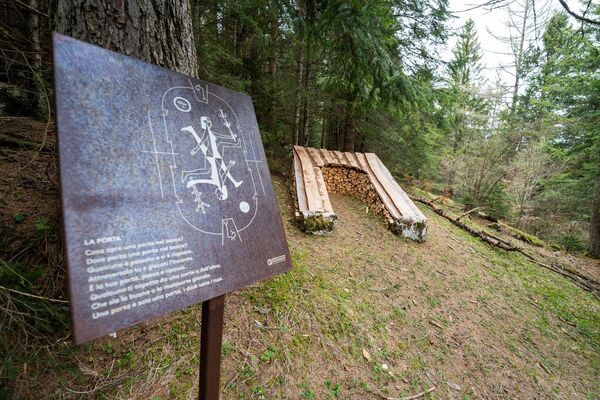
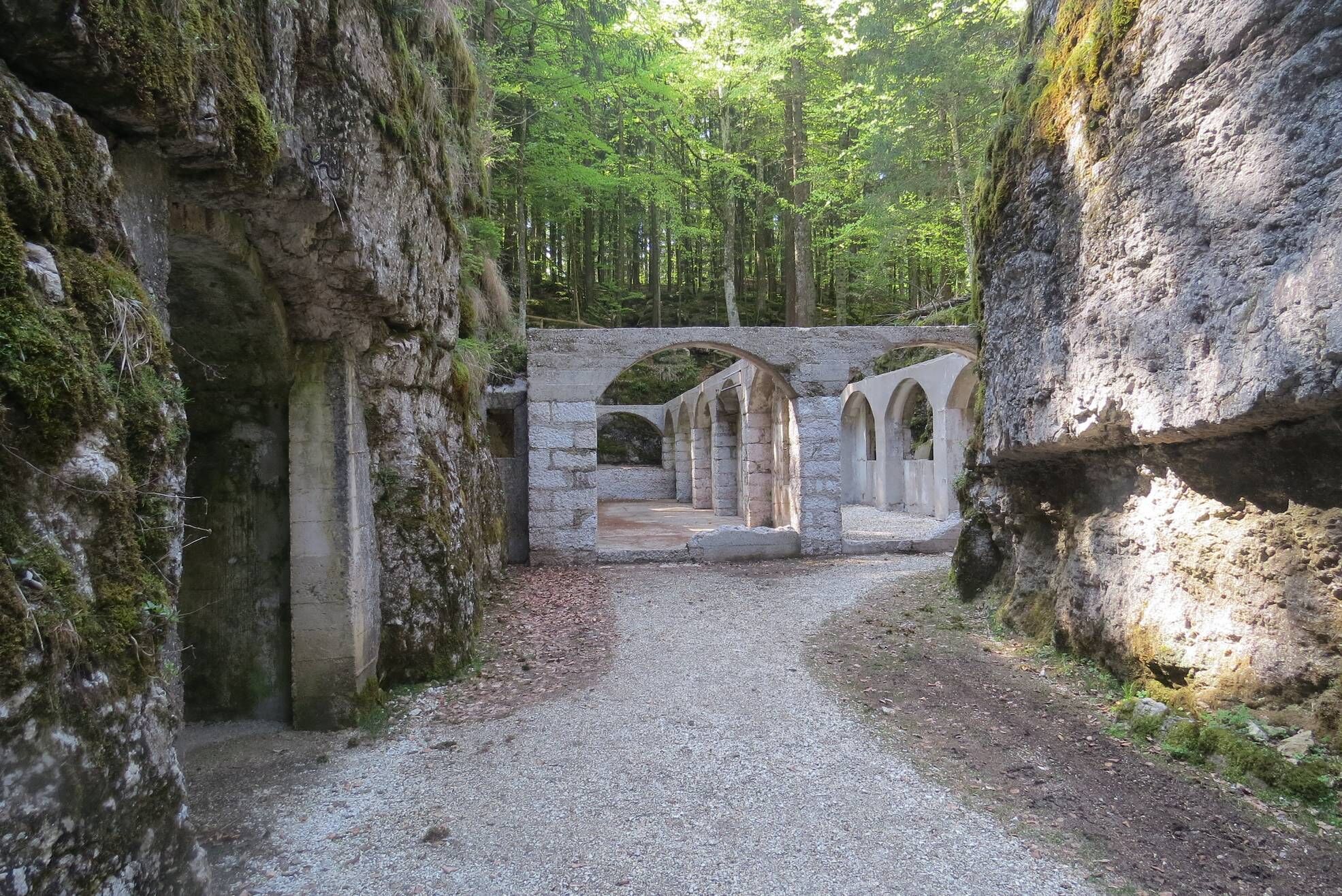
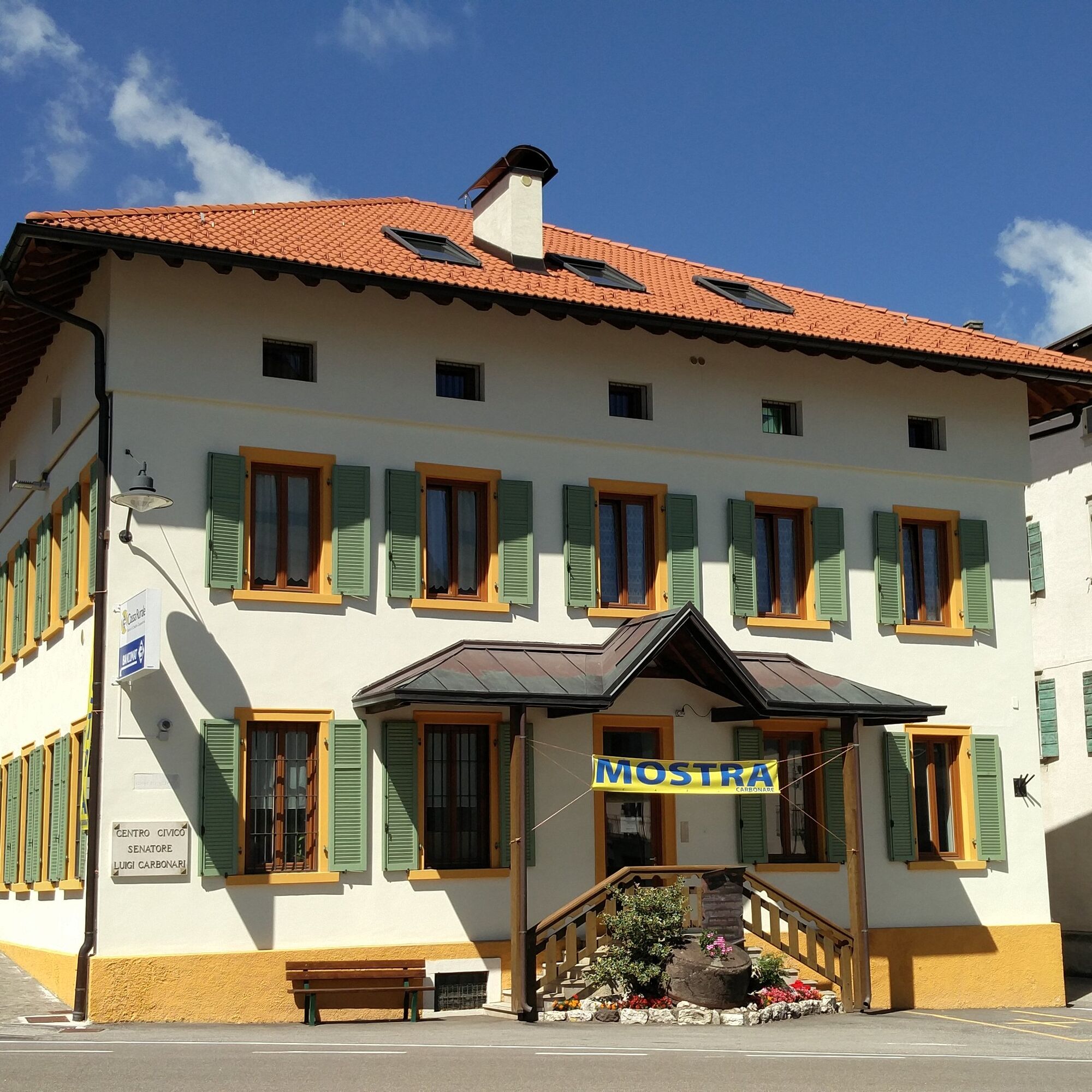
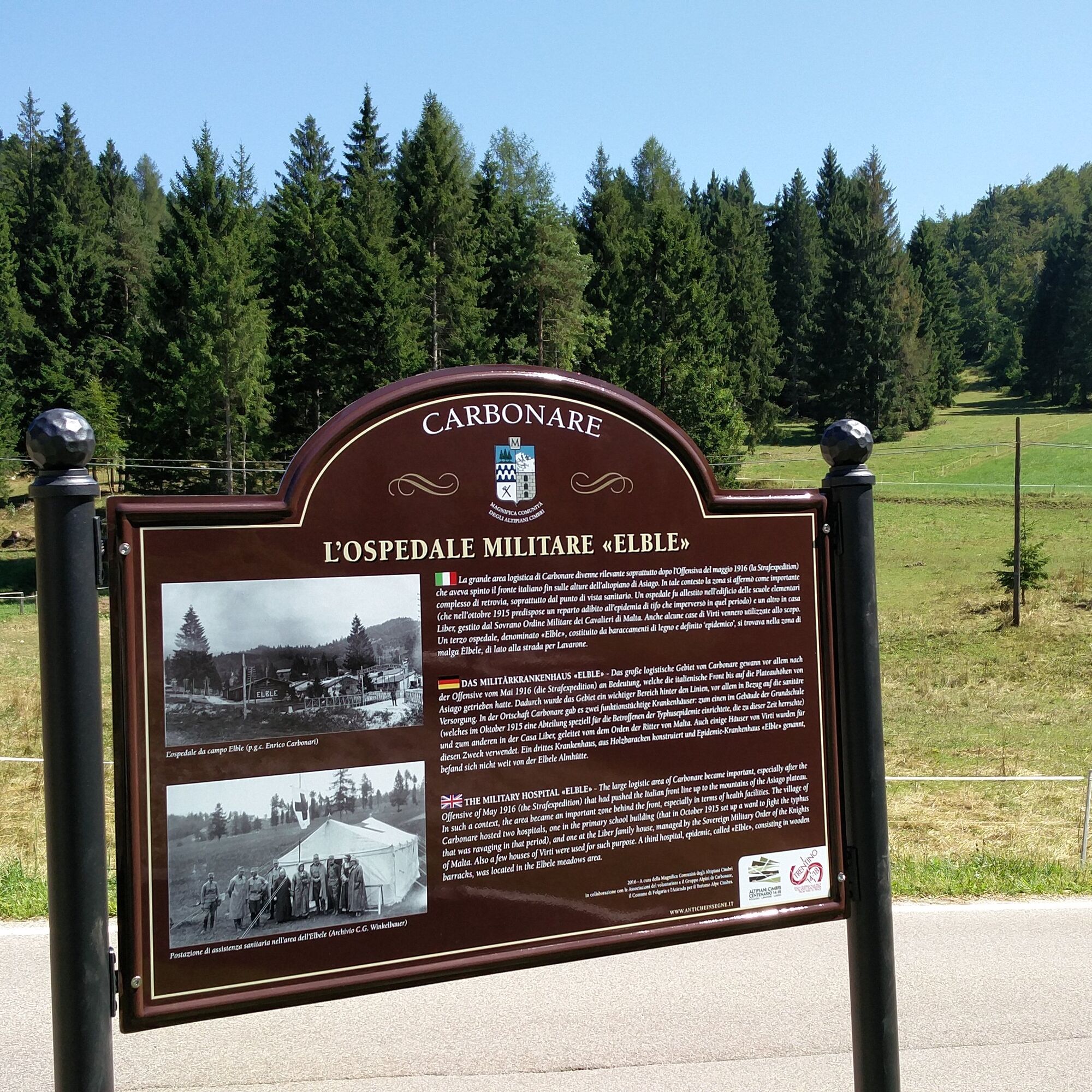
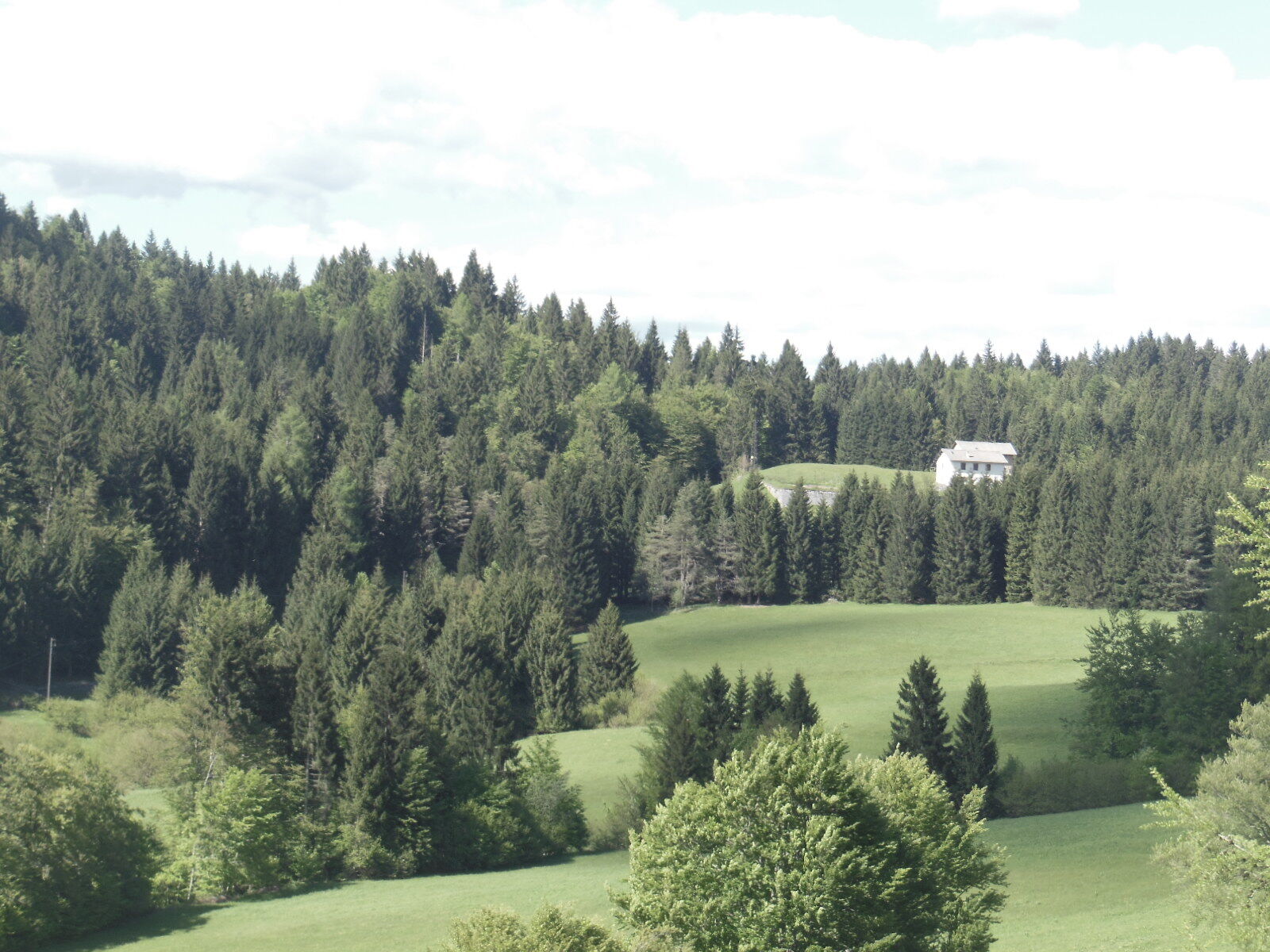
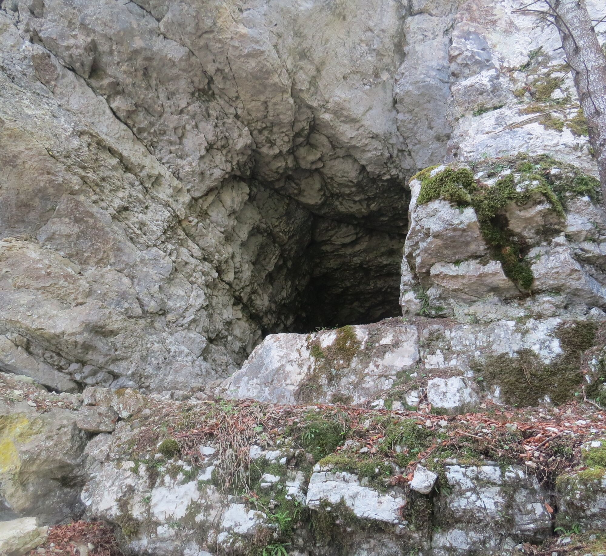
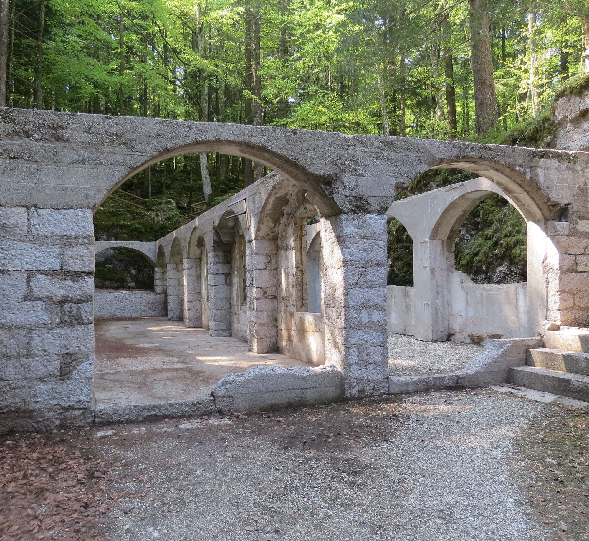
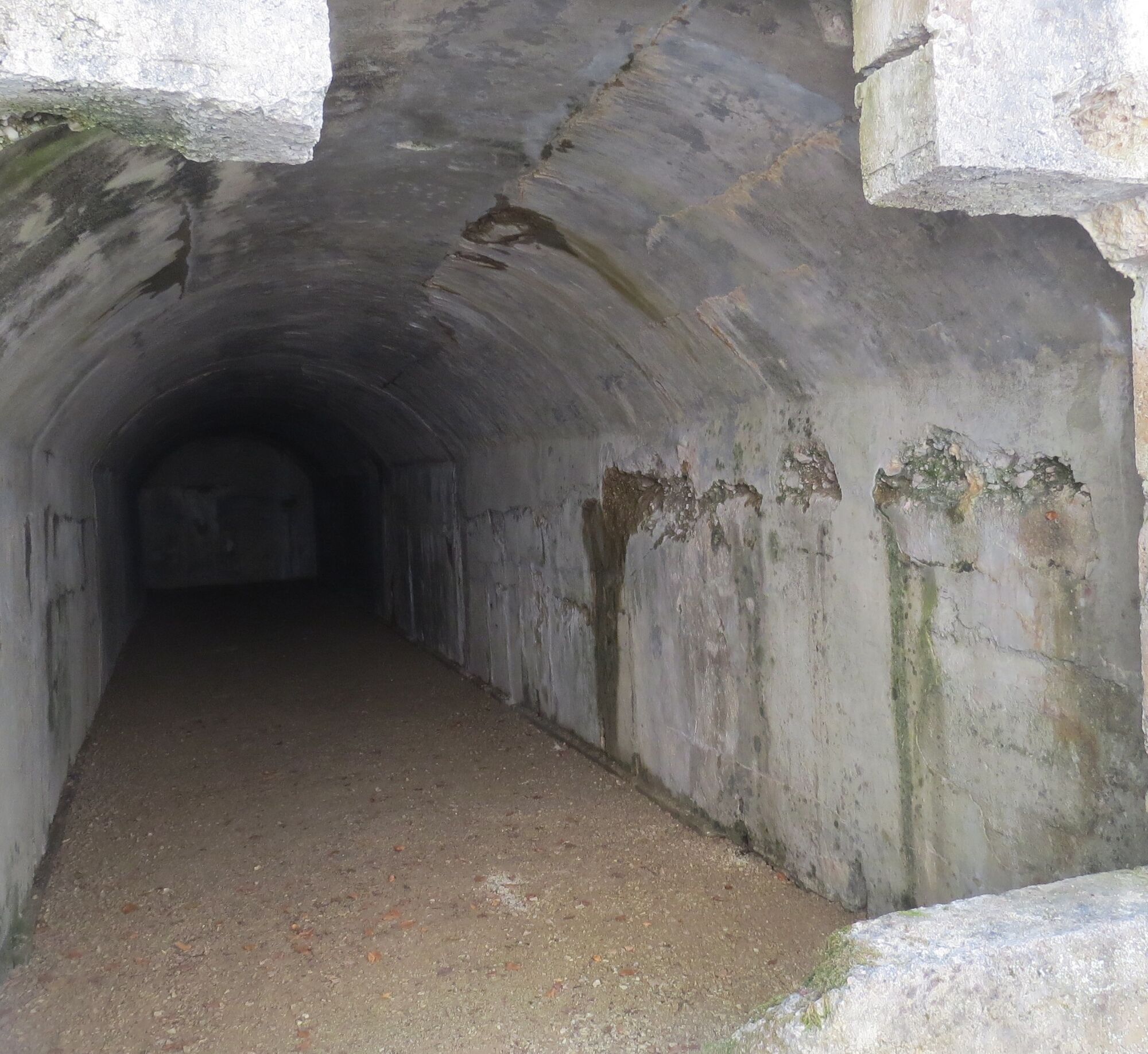
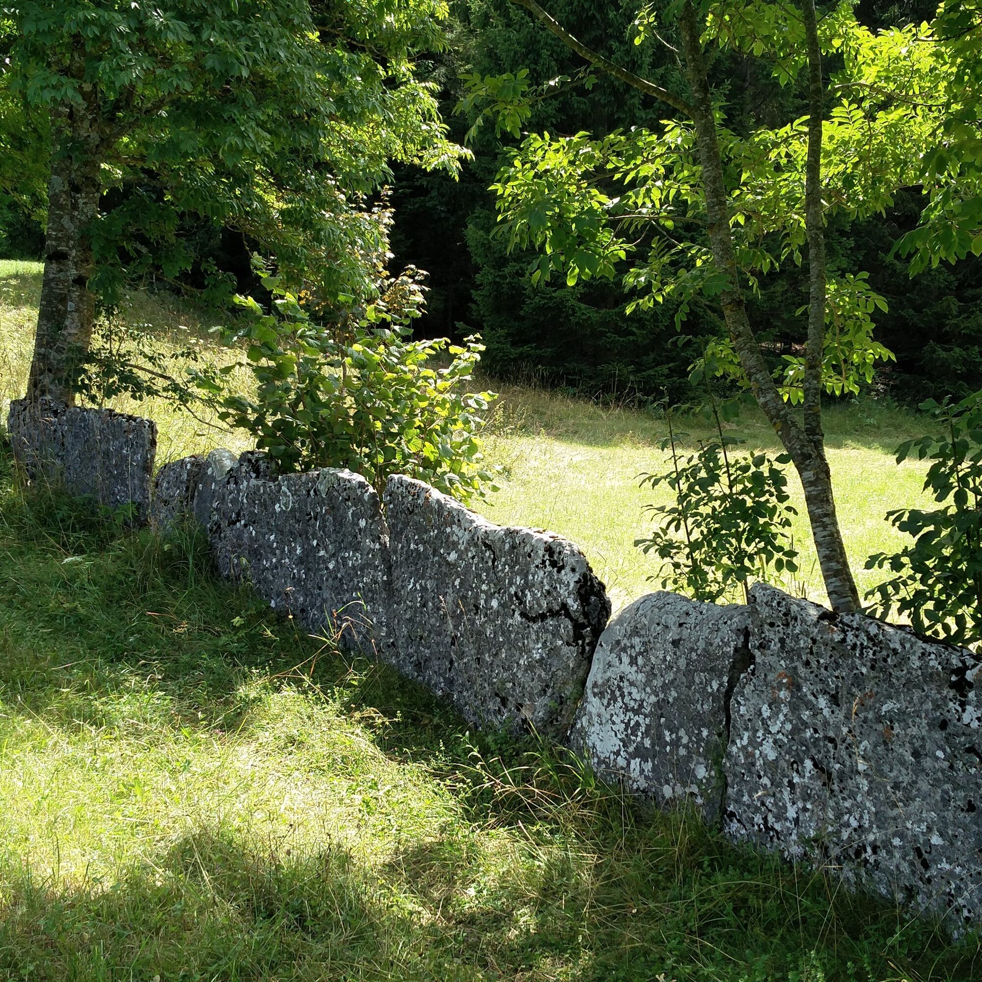
A route of historical, natural and scenic interest. It allows a visit to some testimonies of the First Great World War (1914-1918) present in the Carbonare area, such as the Elble military hospital, the Virti sector command post and the Guazcovel frontline trenches.
- Difficulté
-
moyen
- Évaluation
-
- Parcours
-
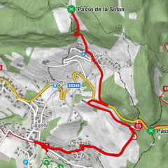
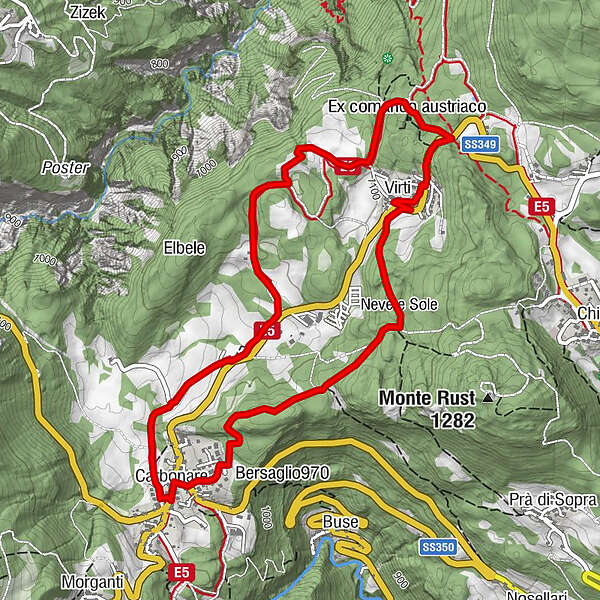
Carbonare0,0 kmEx comando austriaco2,8 kmVirti3,5 kmMadonna di Pompei3,7 kmCarbonare5,7 km
- Meilleure saison
-
janv.févr.marsavrilmaijuinjuil.aoûtsept.oct.nov.déc.
- Hauteur maximale
- 1.161 m
- Point de mire
-
Comando di Virti
- Profil en hauteur
-
 © outdooractive.com

- Auteur
-
La randonnée Great War trail 2 est utilisé par outdooractive.com fourni par.
GPS Downloads


Informations générales
Culturel/Historiquement
Flore
Autres parcours dans les régions