© APT Val di Fiemme - orlerimages.com

- Brève description
-
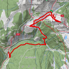
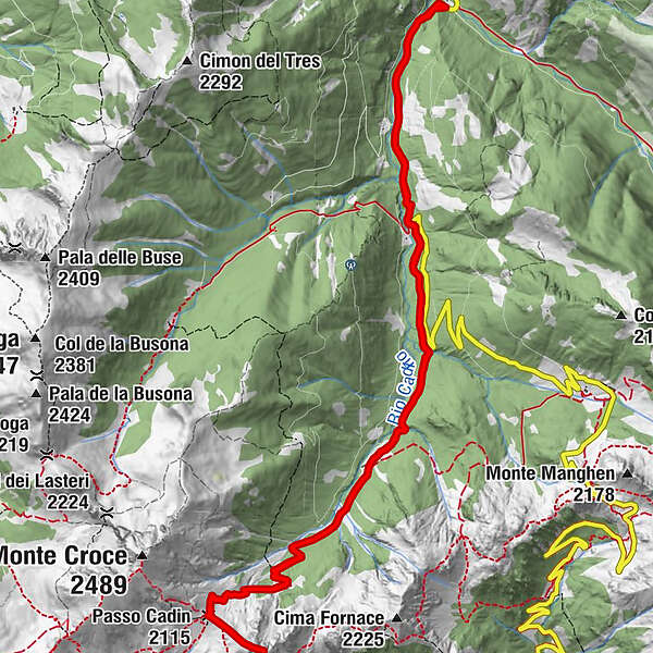
Beautiful itinerary that leads to the panoramic summit in the heart of the Lagorai Group. Little known but very interesting and relatively safe peak.
- Difficulté
-
moyen
- Évaluation
-
- Parcours
-
Piazza dei Siori (1.339 m)0,9 kmCima Bolénga (2.272 m)7,4 kmPasso Cadin (2.115 m)8,0 kmPiazza dei Siori (1.339 m)14,0 km
- Meilleure saison
-
aoûtsept.oct.nov.déc.janv.févr.marsavrilmaijuinjuil.
- Hauteur maximale
- 2.224 m
- Point de mire
-
Bolenga Peak
- Profil en hauteur
-
 © outdooractive.com

-

-
AuteurLa randonnée Passo Cadin and Cima Bolenga est utilisé par outdooractive.com fourni par.
GPS Downloads


Informations générales
Secret
Prometteur
Autres parcours dans les régions