© APT - Valsugana e Lagorai - APT Valsugana

© APT - Valsugana e Lagorai - APT Valsugana

© APT - Valsugana e Lagorai - APT Valsugana

© APT - Valsugana e Lagorai - APT Valsugana

© APT - Valsugana e Lagorai - APT Valsugana

- Brève description
-
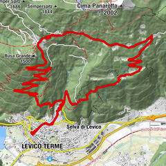
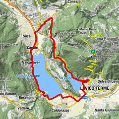
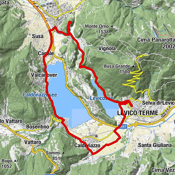
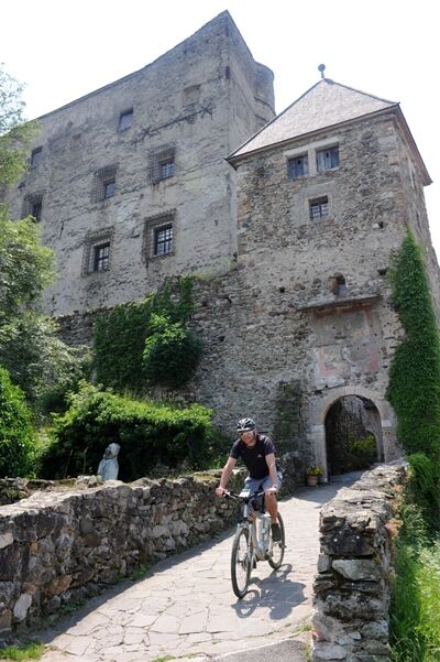
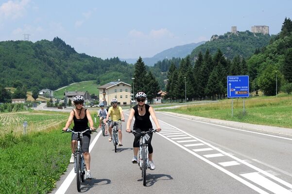
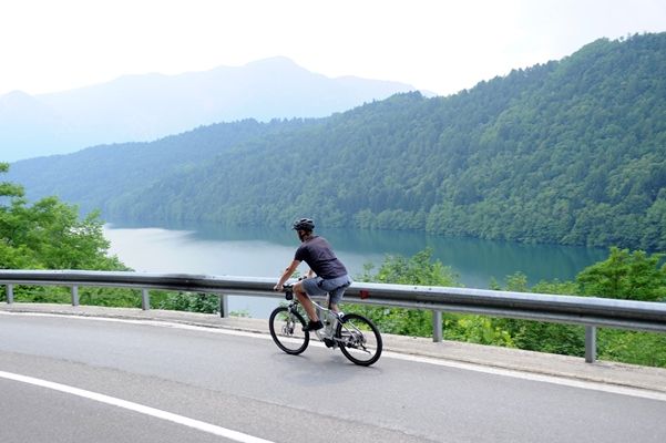
Route that runs along both lakes, the Caldonazzo lake on the way out arriving in Pergine where at the top of the hill you can admire the beauty of the Castle and the Levico lake on the way back
- Difficulté
-
facile
- Évaluation
-
- Parcours
-
Levico TermeCosta2,4 kmchiesa di San Sisto5,8 kmCaldonazzo6,1 kmEnergy Hotel8,2 kmCalceranica al Lago8,3 kmAltalena8,7 kmArea giochi8,8 kmCalceranica8,9 kmRistorante-Pizzeria HAPPY DAYS10,0 kmBinario 79 - Da Ciolda11,0 kmRistorante Valcanover11,4 kmMaso Osler11,5 kmValcanover11,7 kmGiropizza VIP11,9 kmCanale13,2 kmAngi13,8 kmPergine Valsugana15,3 kmCastello di Pergine17,5 kmBurg Persen17,5 kmFontanabotte17,8 kmMasetti18,4 kmVisintainer21,4 kmPaluda del Baruchèl21,9 kmLevico Terme25,3 km
- Meilleure saison
-
janv.févr.marsavrilmaijuinjuil.aoûtsept.oct.nov.déc.
- Hauteur maximale
- 633 m
- Point de mire
-
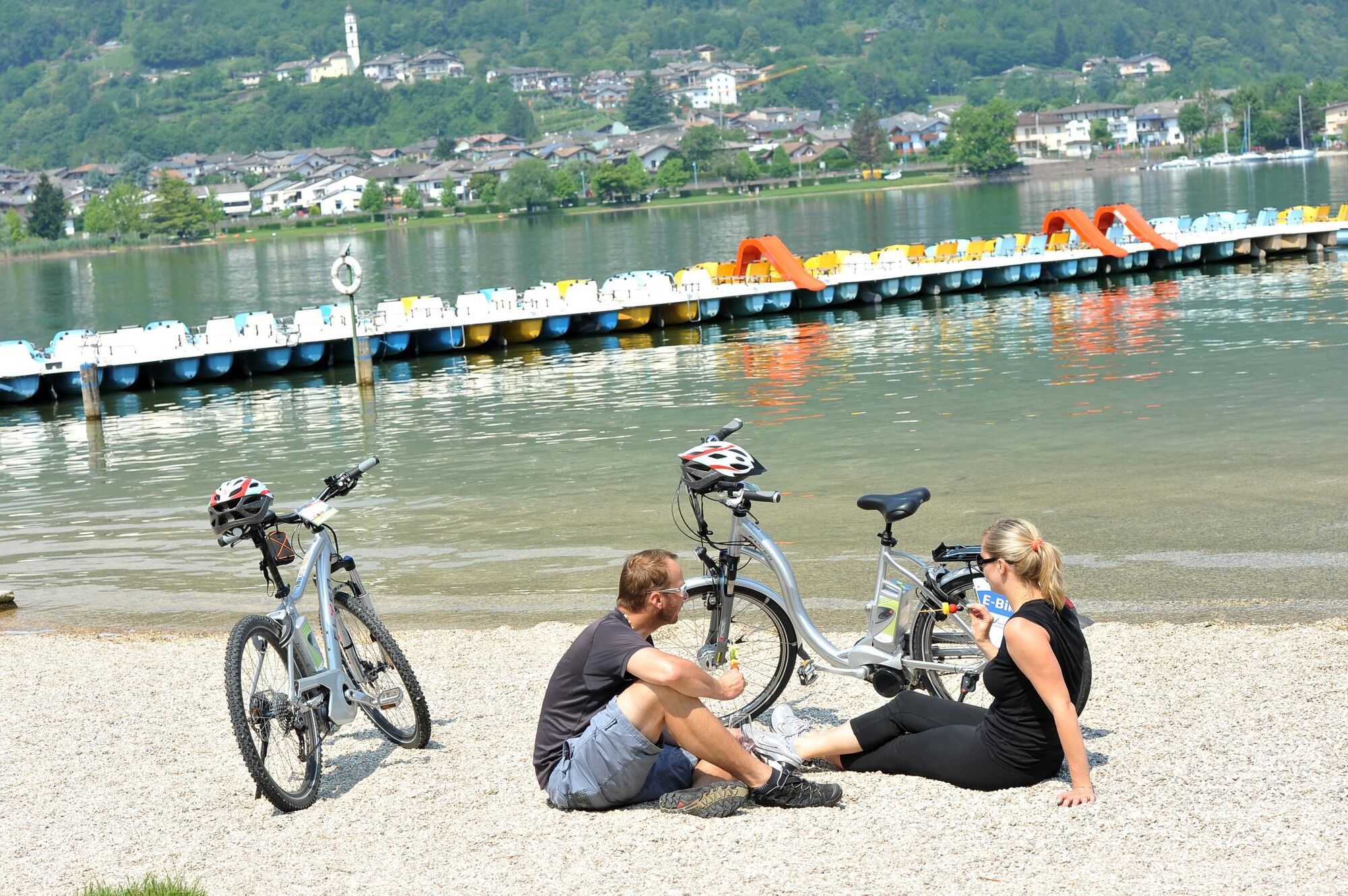
Viale Vittorio Emanuele, Levico
- Profil en hauteur
-
 © outdooractive.com
- Auteur
-
La randonnée eBike - Castle Pergine est utilisé par outdooractive.com fourni par.
GPS Downloads


Informations générales
Point de rassemblement
Culturel/Historiquement
Prometteur
Autres parcours dans les régions