© APT - Valli di Sole, Peio e Rabbi - Ph Rifugio Vioz Mantova

© APT - Valli di Sole, Peio e Rabbi - Ph Guide Alpine Val di Sole

© APT - Valli di Sole, Peio e Rabbi - Ph Guide Alpine Val di Sole
© APT - Valli di Sole, Peio e Rabbi - Ph Guide Alpine Val di Sole

© APT - Valli di Sole, Peio e Rabbi - Ph Guide Alpine Val di Sole

© APT - Valli di Sole, Peio e Rabbi - Ph Guide Alpine Val di Sole

© APT - Valli di Sole, Peio e Rabbi - Ph Guide Alpine Val di Sole

© APT - Valli di Sole, Peio e Rabbi - Ph Guide Alpine Val di Sole

© APT - Valli di Sole, Peio e Rabbi - Ph Guide Alpine Val di Sole

© APT - Valli di Sole, Peio e Rabbi - Ph Guide Alpine Val di Sole
Dates des itinéraires
11,84km
2.299
- 3.613m
1.306hm
1.298hm
05:30h

- Brève description
-
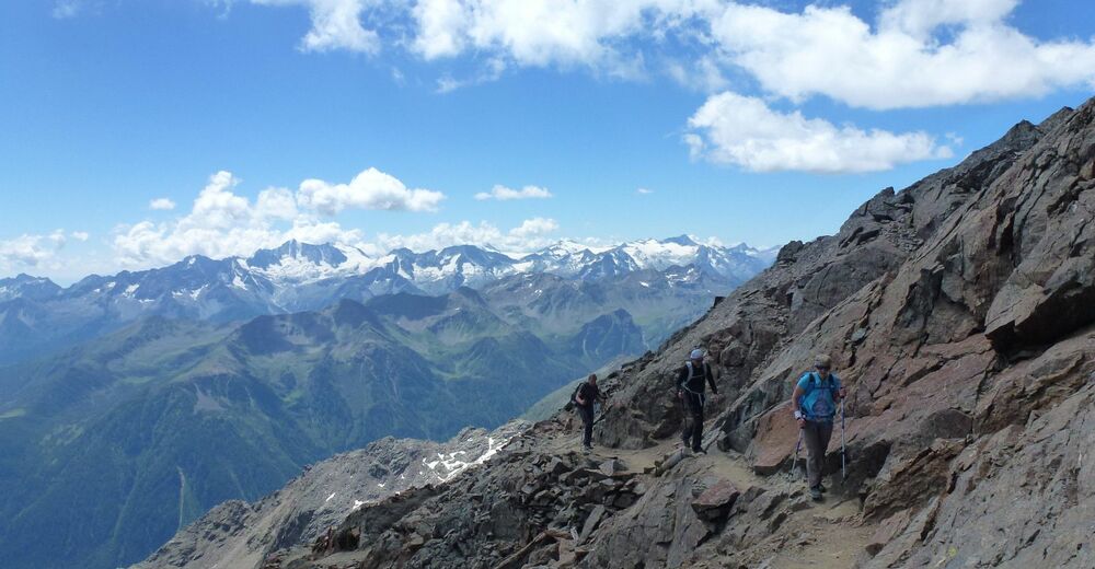
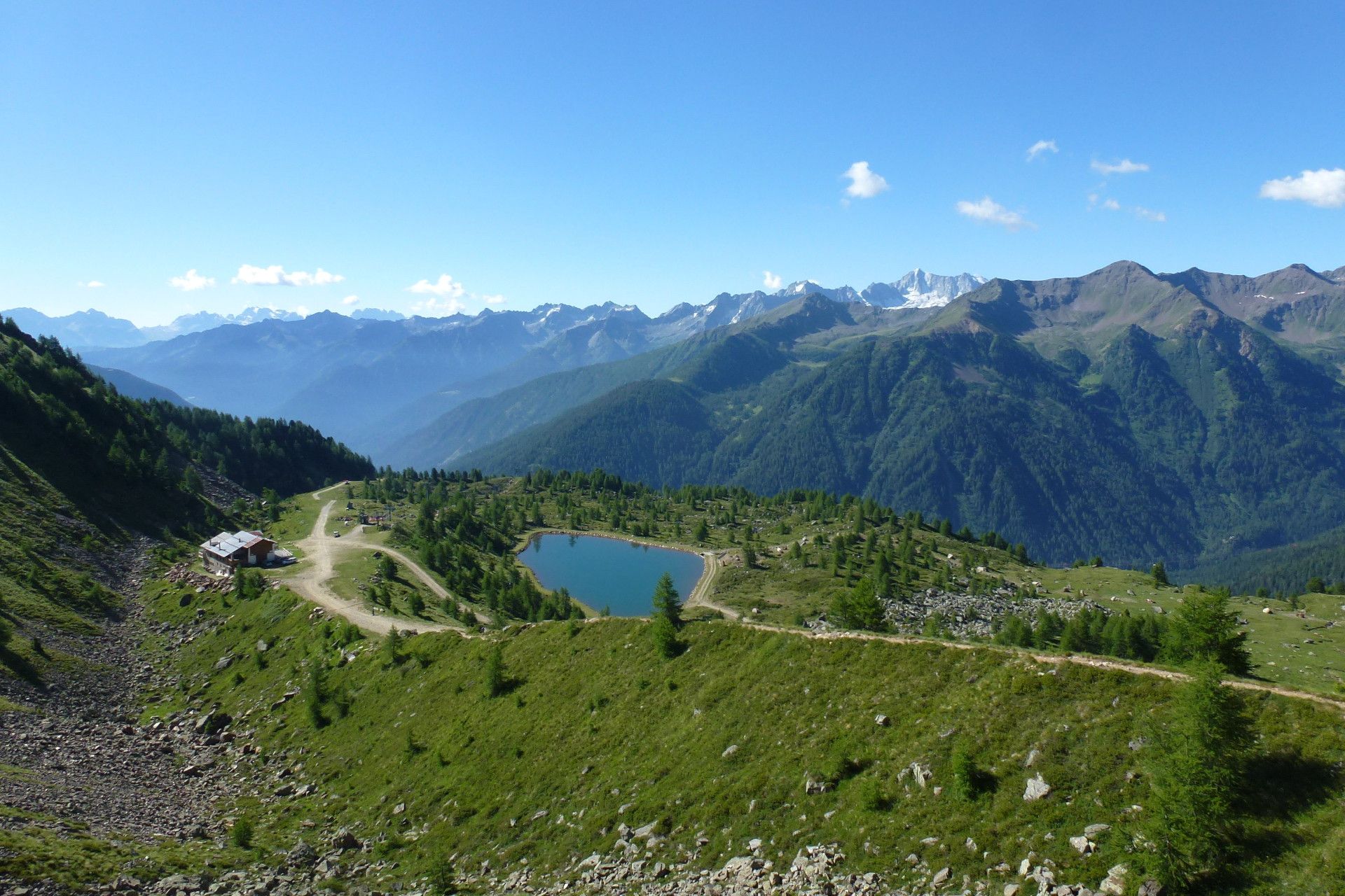
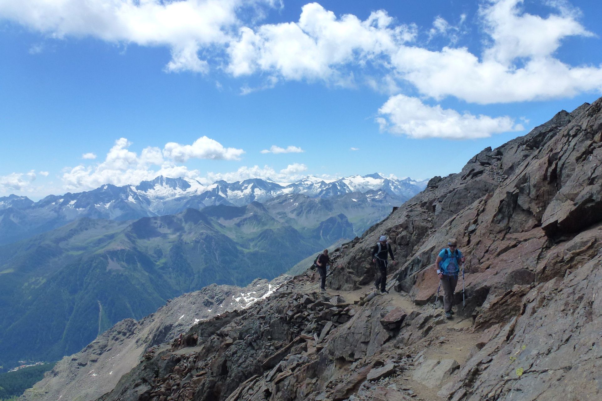
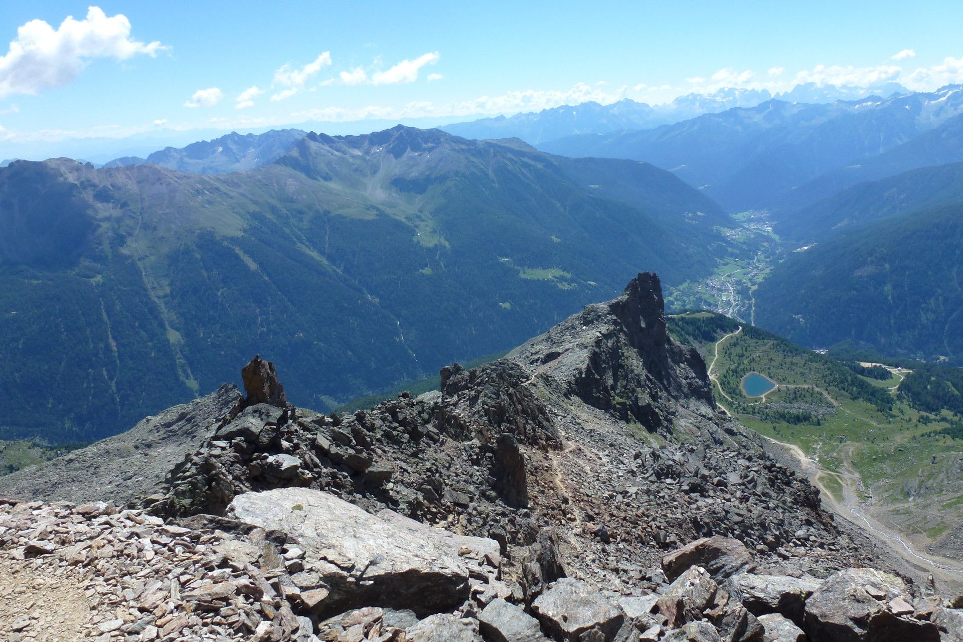
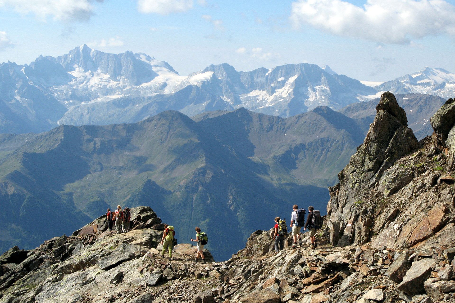
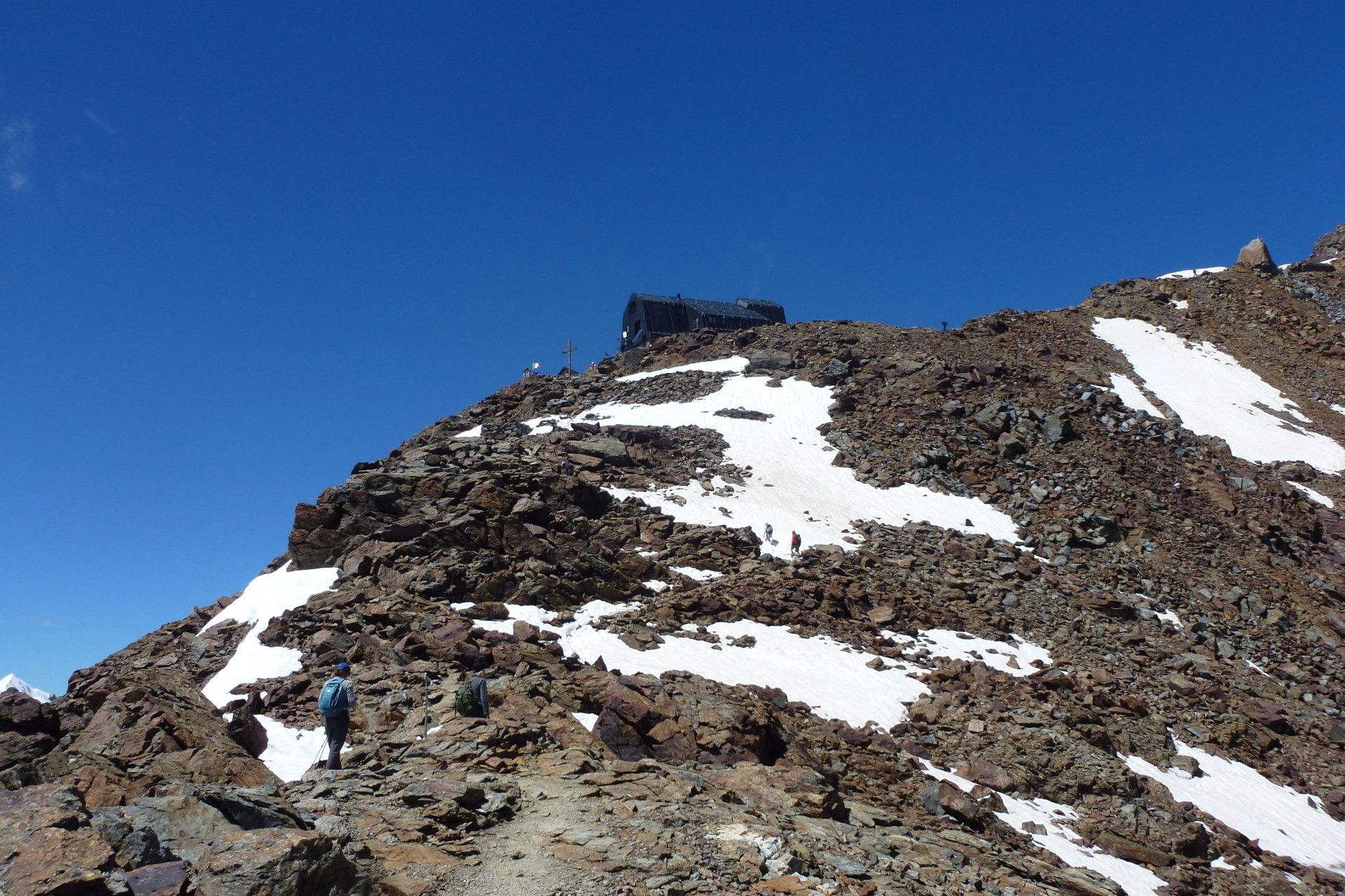
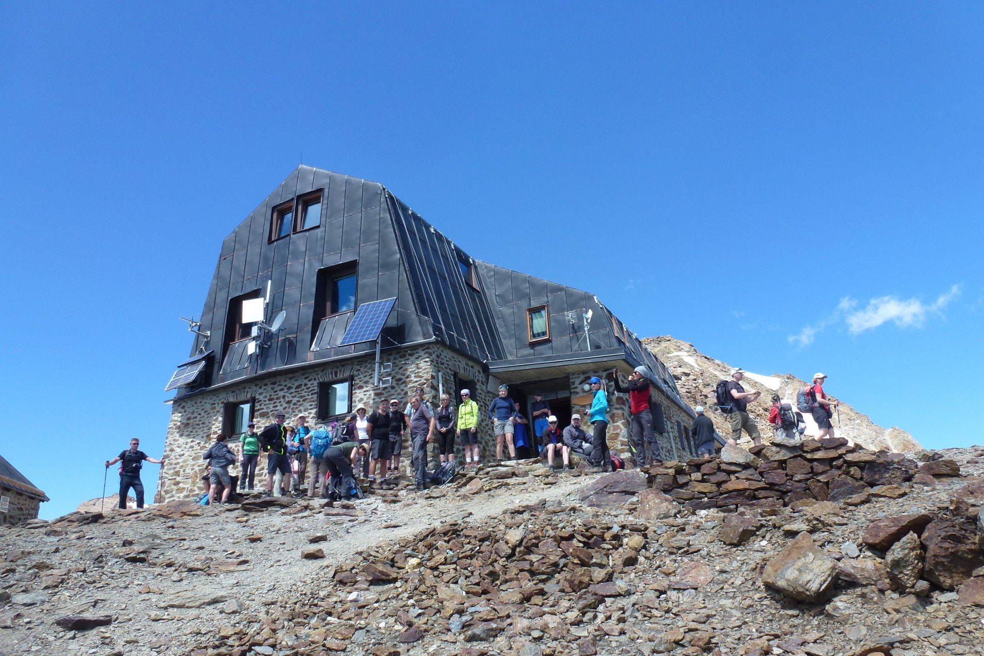
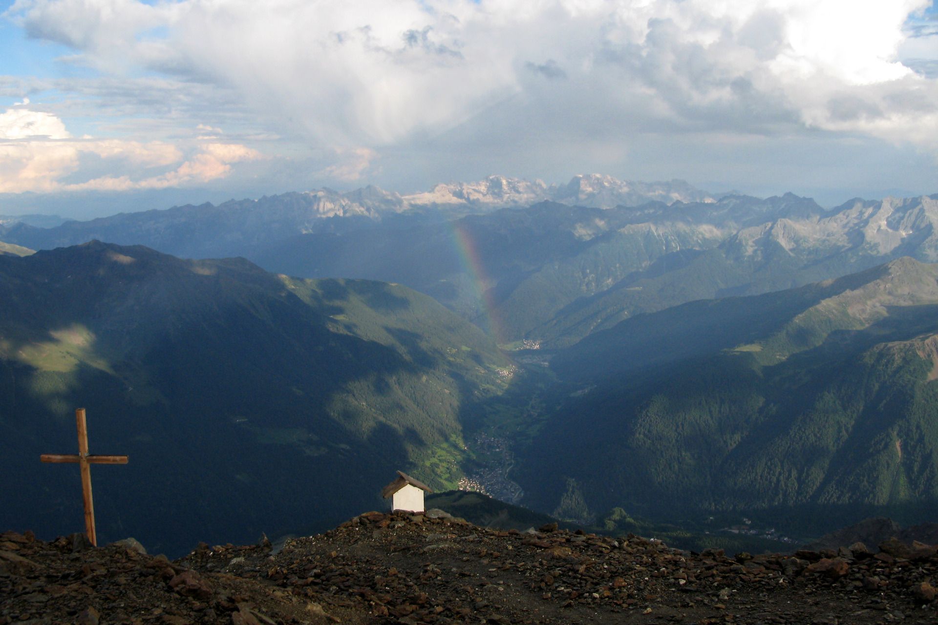
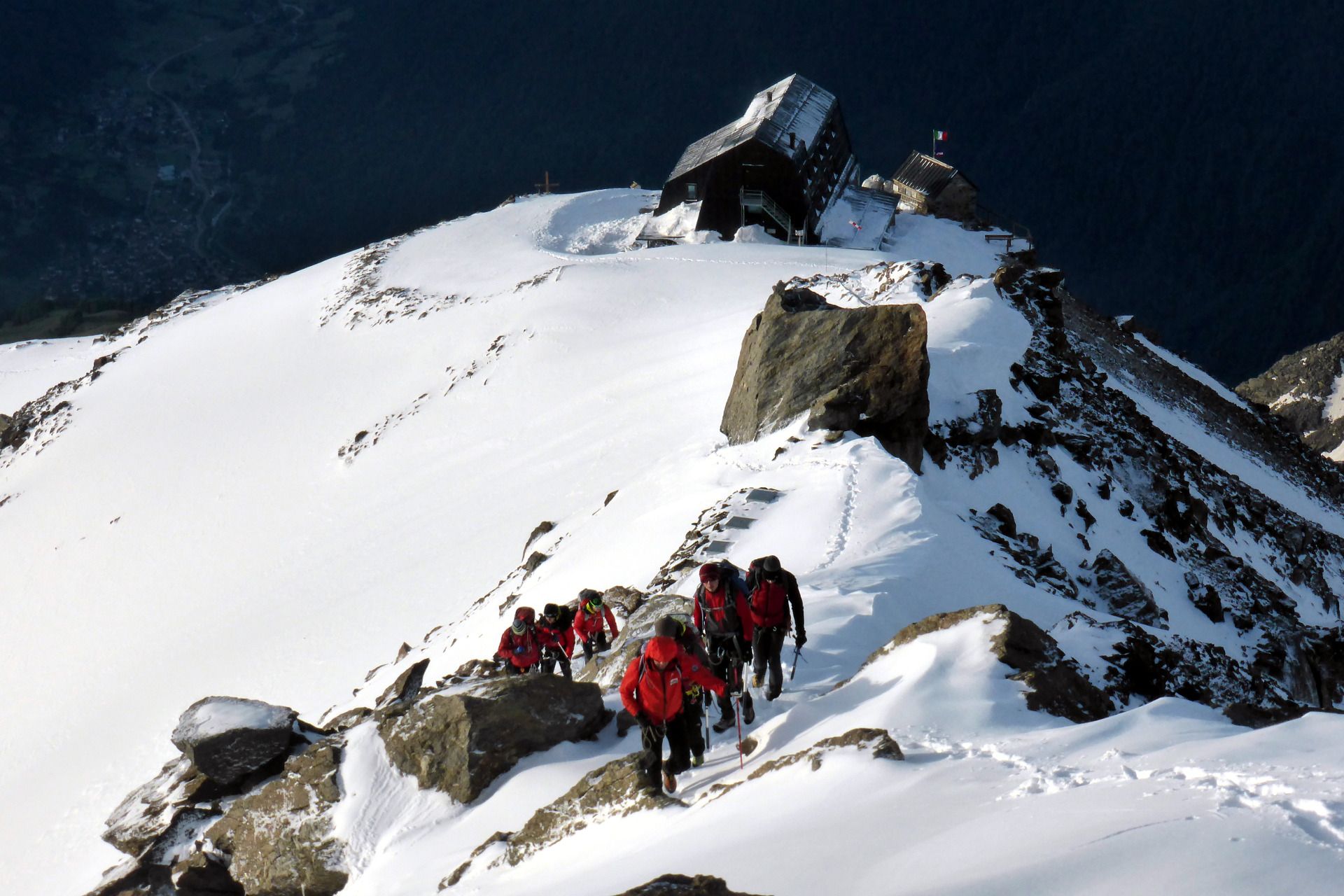
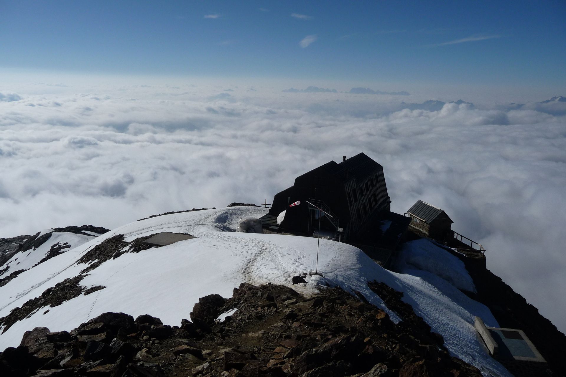
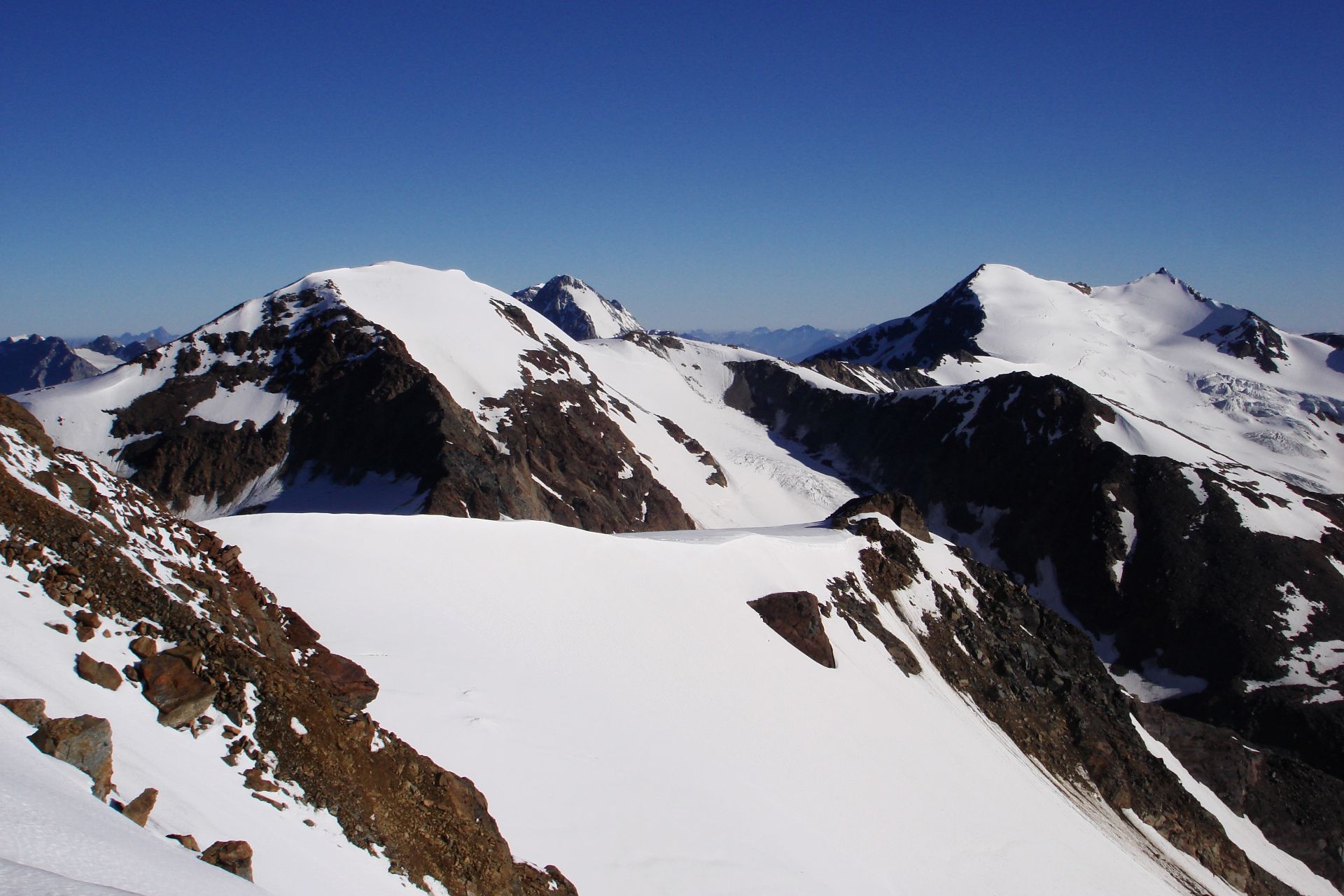
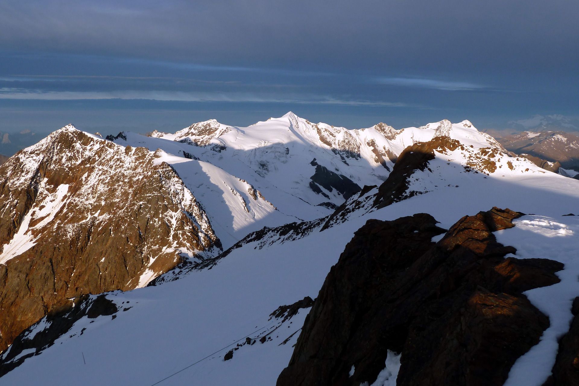
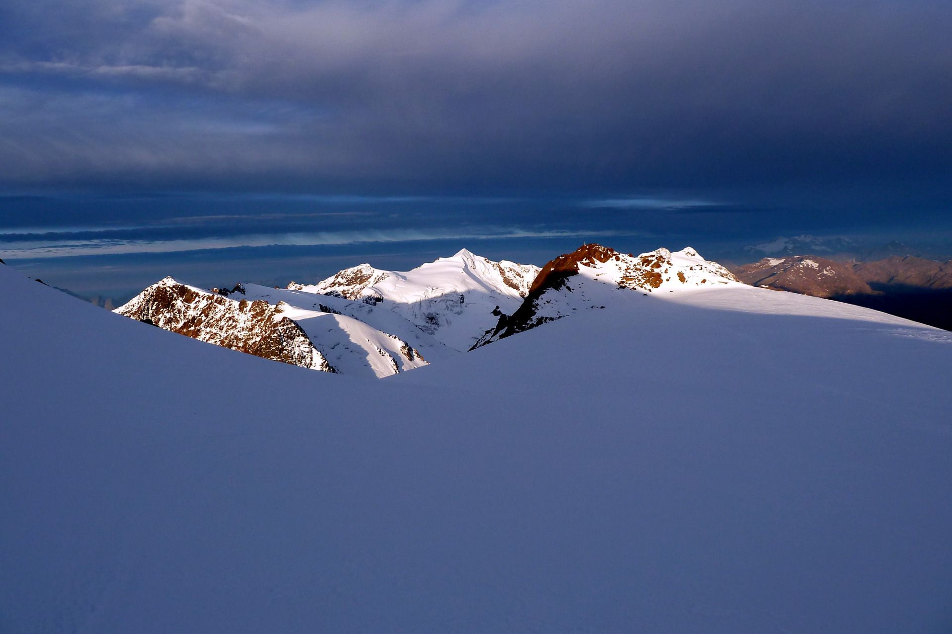
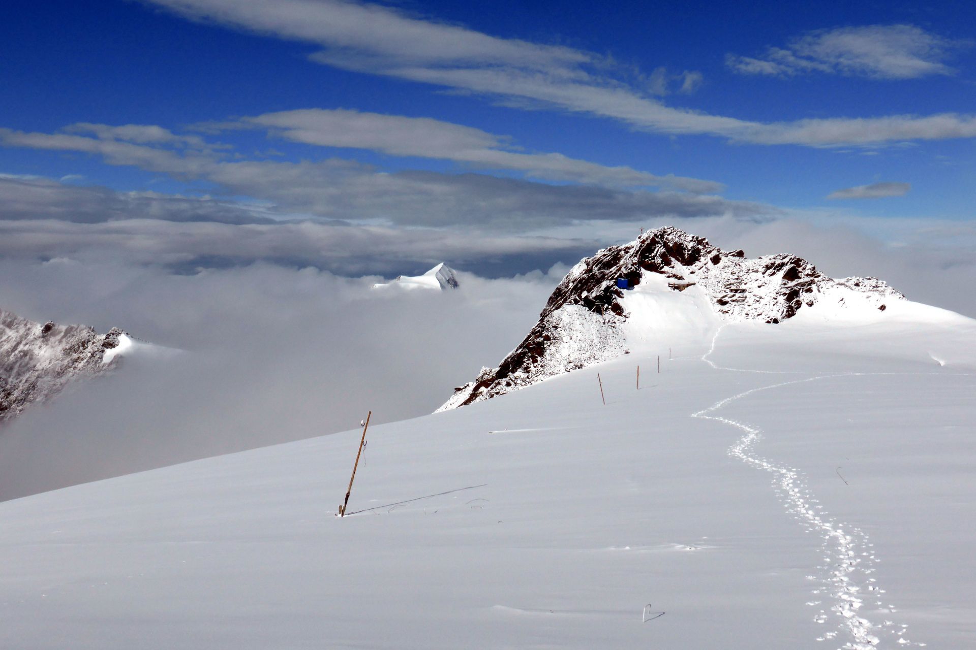
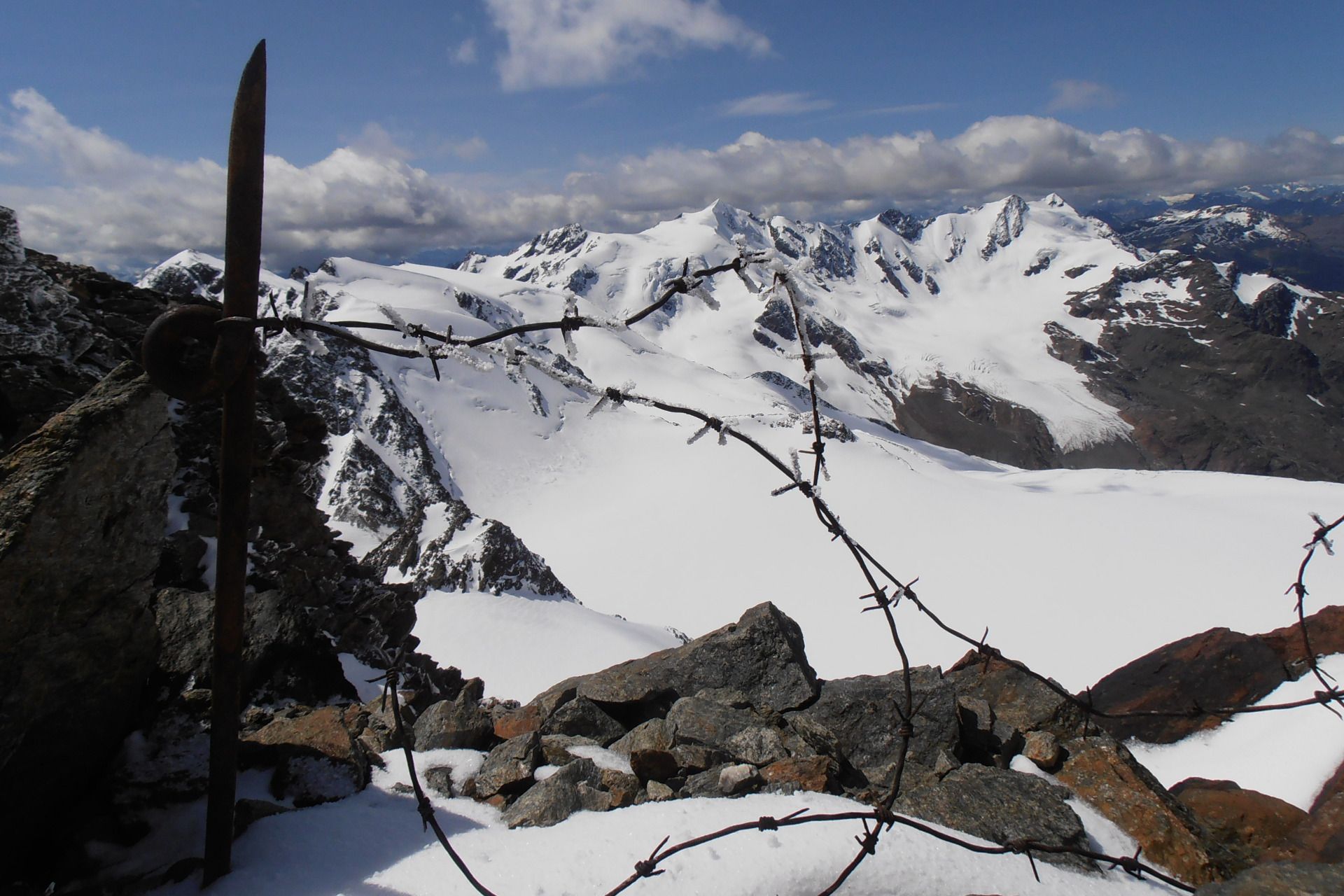
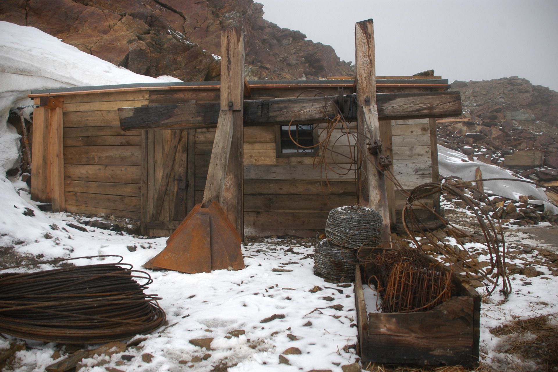
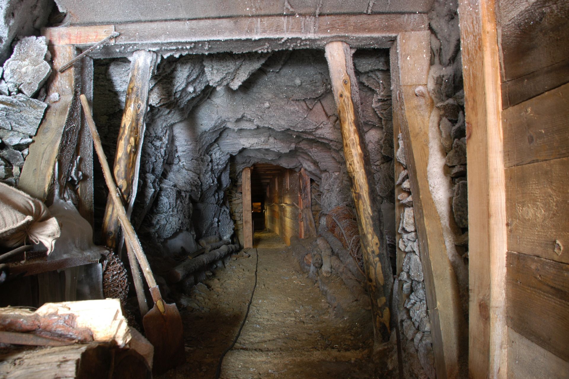
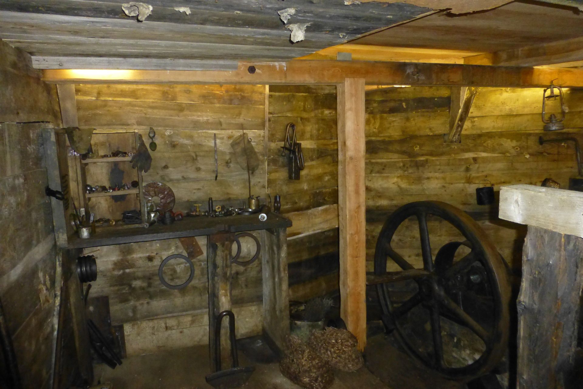
A climb to one of the most important summits in the Ortles-Cevedale group and the chance to visit the Punta Linke museum, a trench gallery dating back to the First World War.
- Difficulté
-
difficile
- Évaluation
-
- Parcours
-
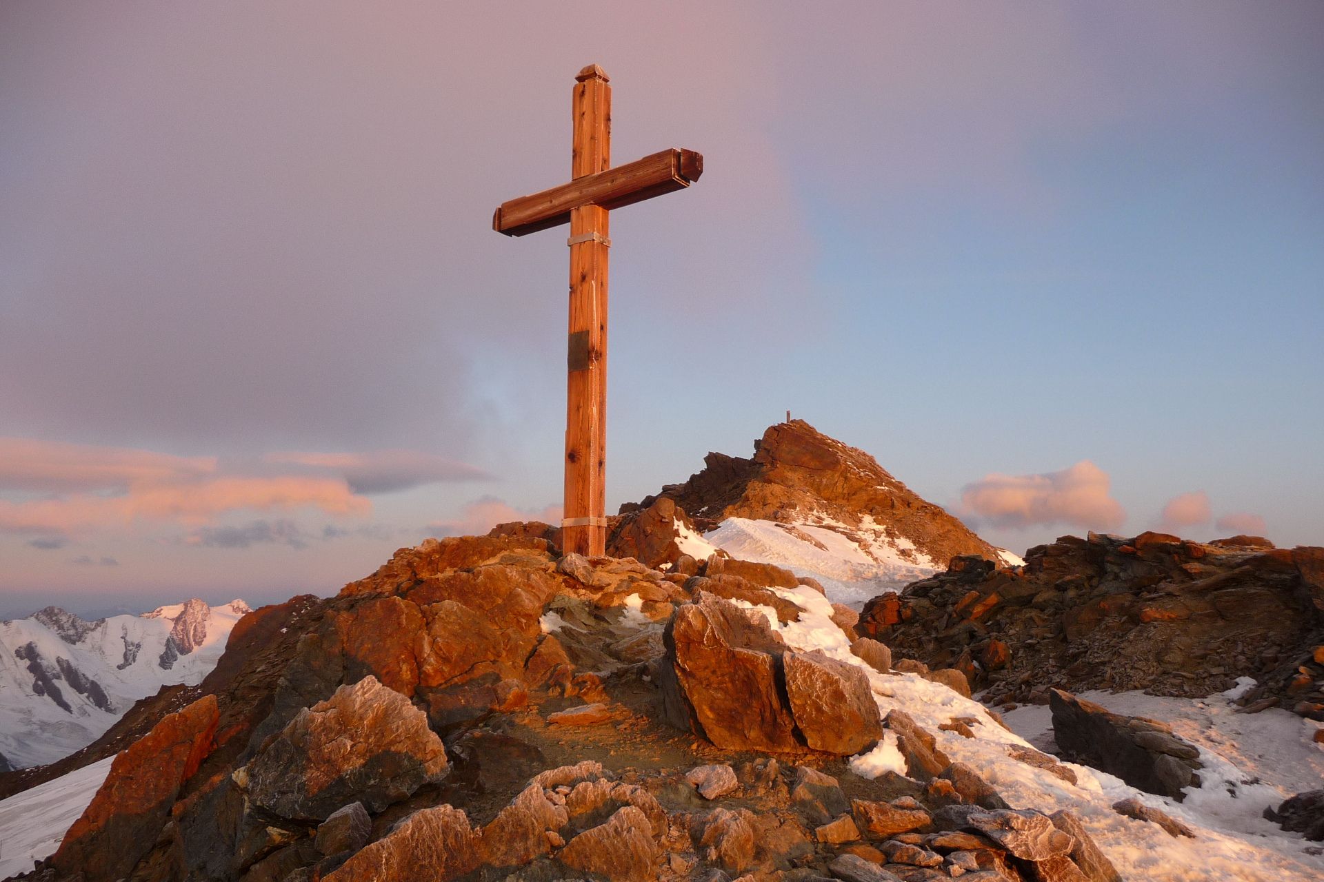
Brik (3.206 m)3,9 kmRifugio Mantova al Vioz5,1 kmPunta Linke (3.630 m)5,8 kmMonte Vioz (3.645 m)6,3 kmBrik (3.206 m)7,9 km
- Meilleure saison
-
janv.févr.marsavrilmaijuinjuil.aoûtsept.oct.nov.déc.
- Hauteur maximale
- 3.613 m
- Point de mire
-
Monte Vioz and Punta Linke
- Profil en hauteur
-
 © outdooractive.com

- Auteur
-
La randonnée Monte Vioz and Punta Linke est utilisé par outdooractive.com fourni par.
GPS Downloads


Informations générales
Point de rassemblement
Culturel/Historiquement
Prometteur
Autres parcours dans les régions
-
Vinschgau
130
-
Ortlergebiet
30
-
Peio
13