© Consorzio Turistico Piana Rotaliana Königsberg - Umberto Pezzi

© Consorzio Turistico Piana Rotaliana Königsberg - Umberto Pezzi

© Consorzio Turistico Piana Rotaliana Königsberg - Umberto Pezzi

© Consorzio Turistico Piana Rotaliana Königsberg - Umberto Pezzi

© Consorzio Turistico Piana Rotaliana Königsberg - Umberto Pezzi

© Consorzio Turistico Piana Rotaliana Königsberg - Umberto Pezzi

© Consorzio Turistico Piana Rotaliana Königsberg - Umberto Pezzi

© Consorzio Turistico Piana Rotaliana Königsberg - Umberto Pezzi

© Consorzio Turistico Piana Rotaliana Königsberg - Umberto Pezzi

© Consorzio Turistico Piana Rotaliana Königsberg - Umberto Pezzi
- Brève description
-
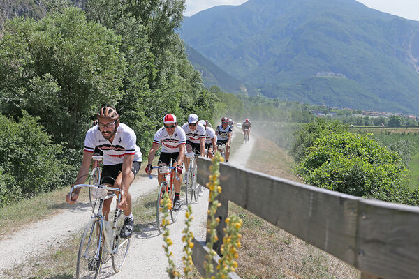
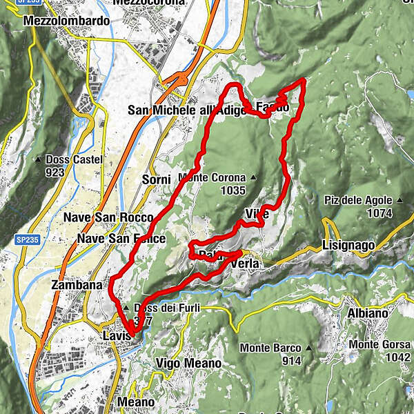
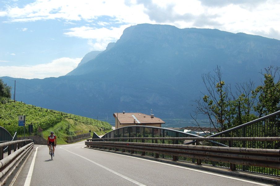
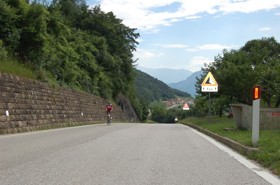
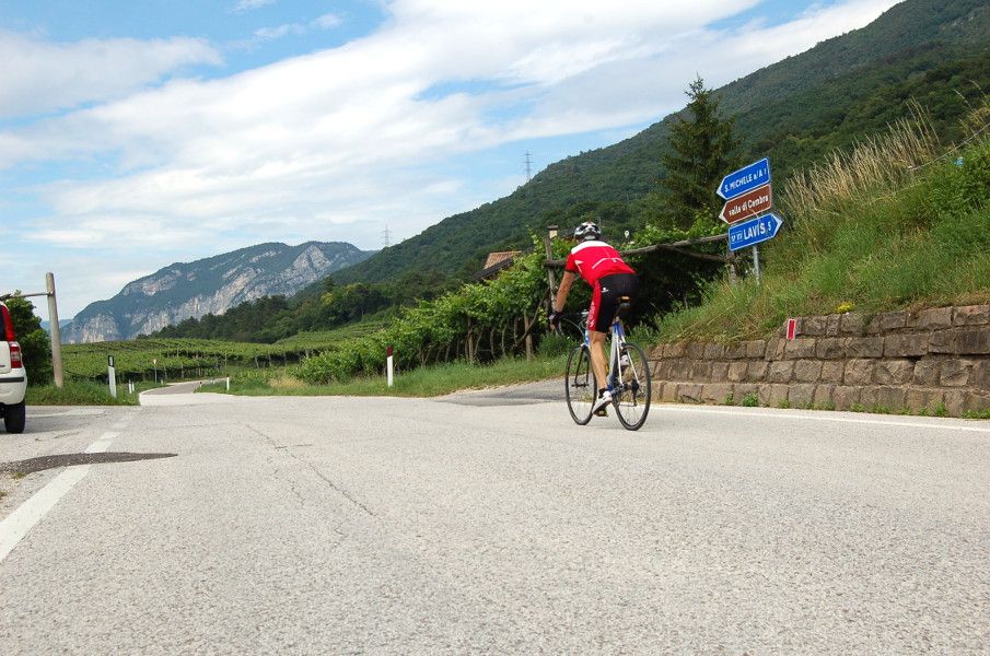
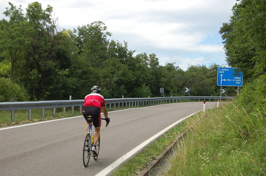
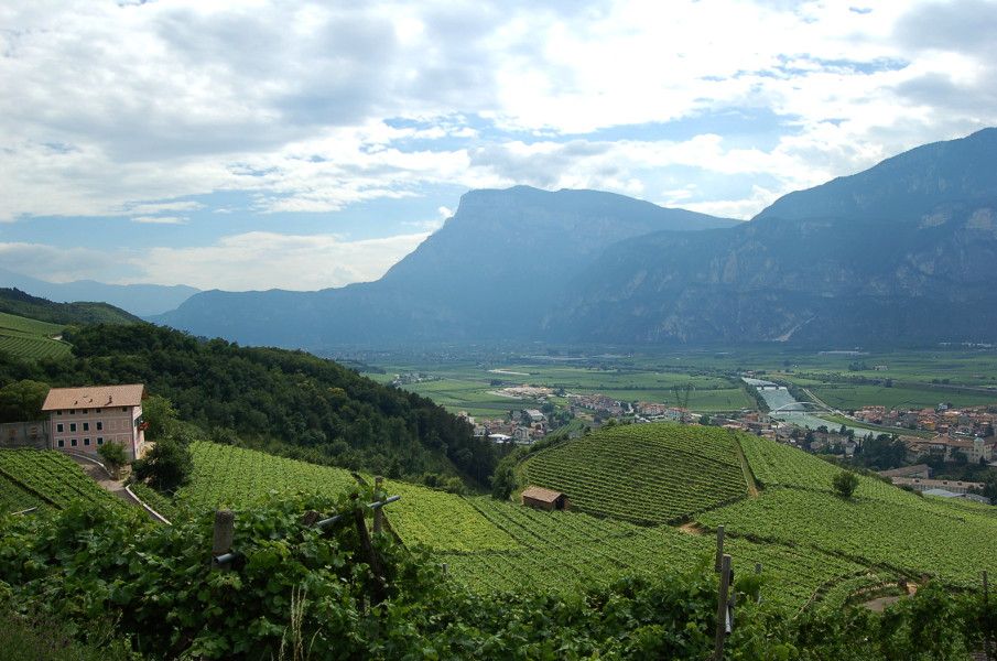
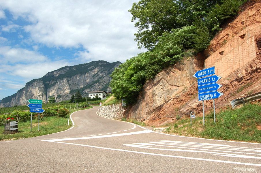
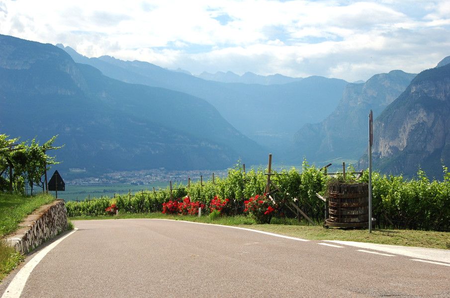
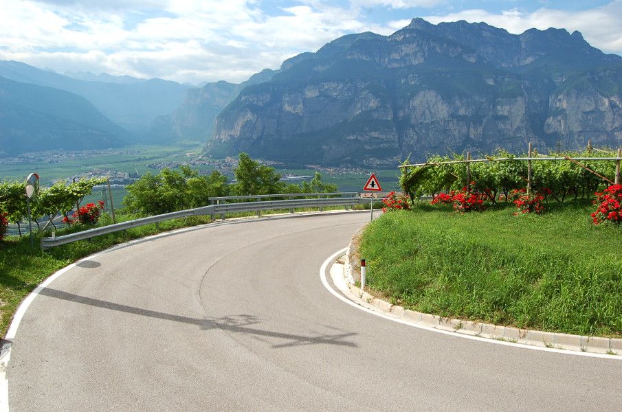
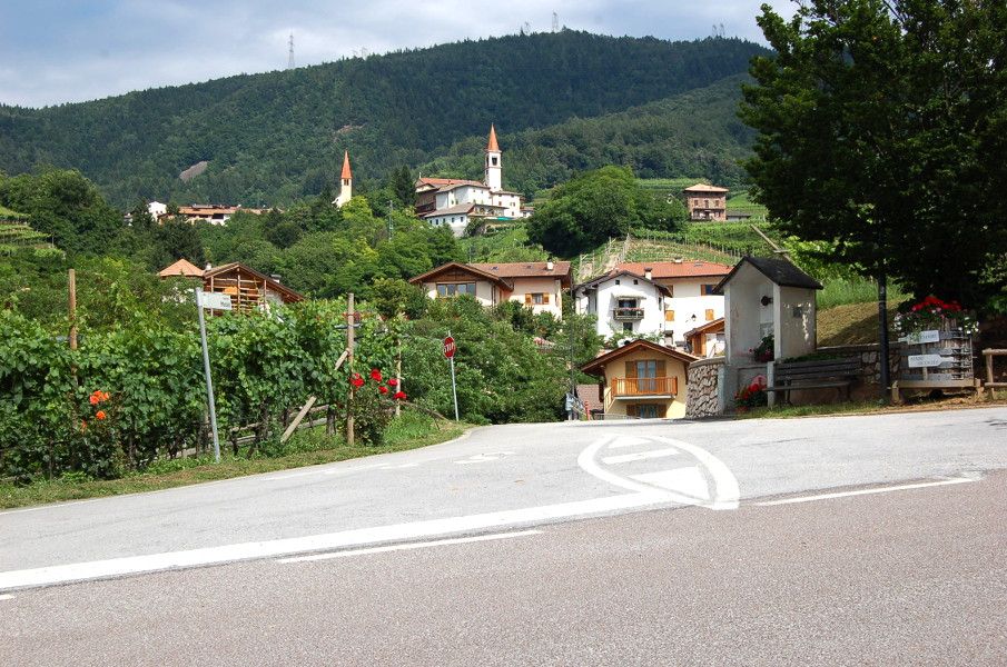
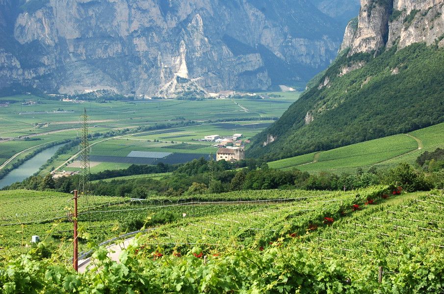
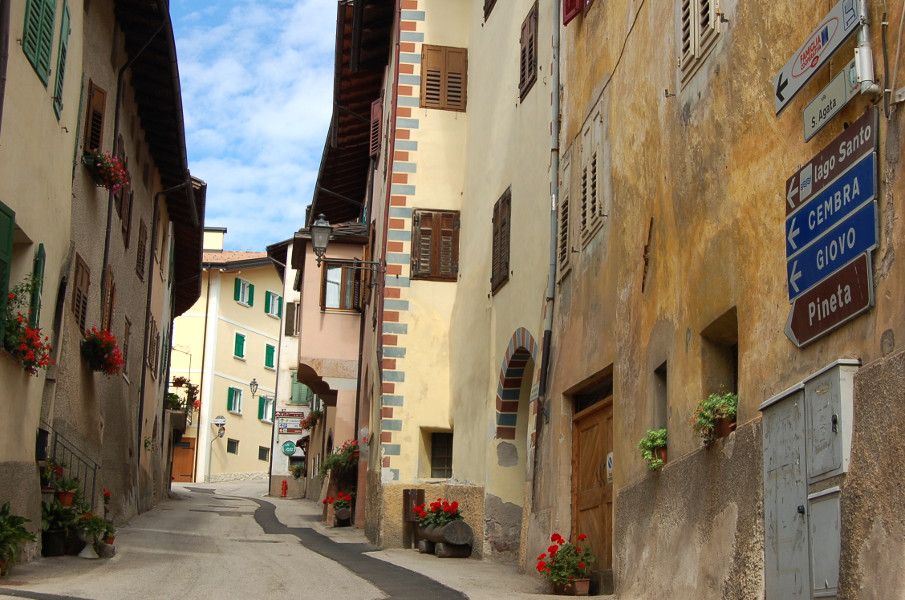
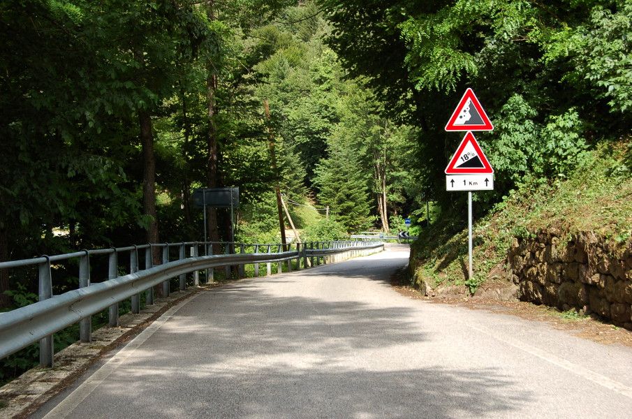
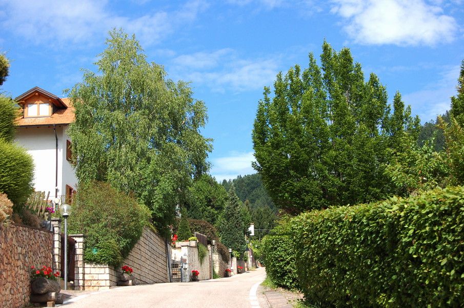
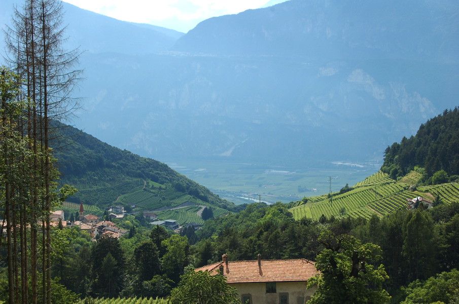
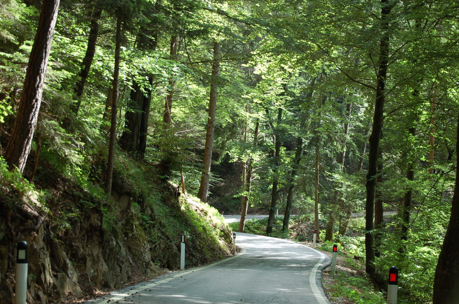
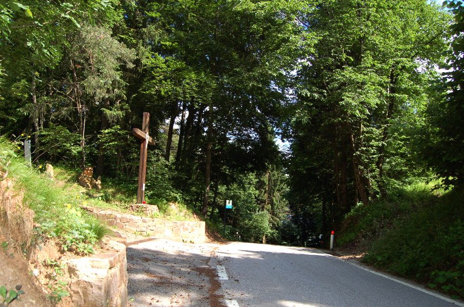
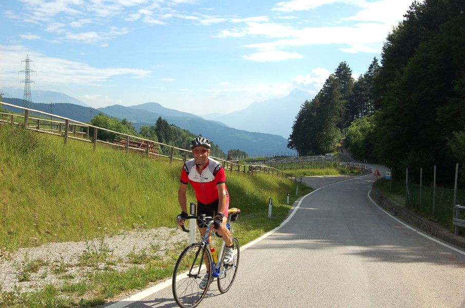
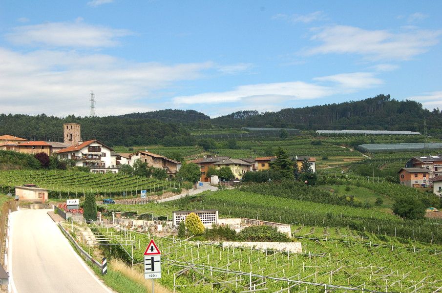
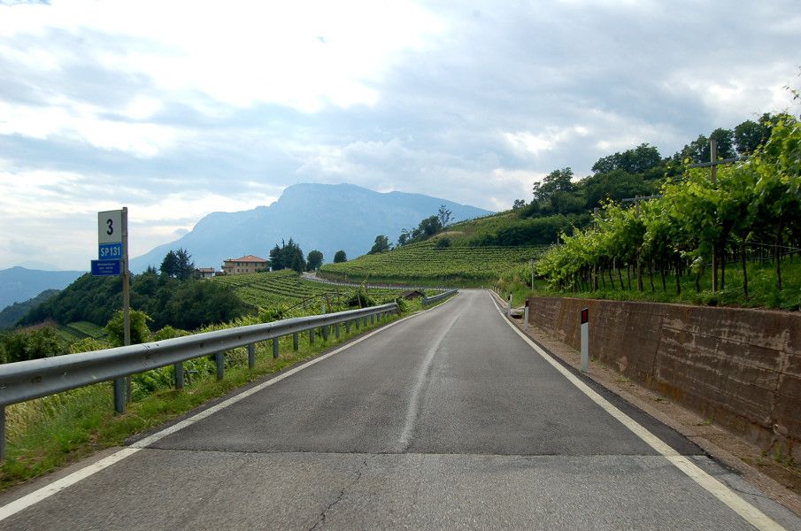
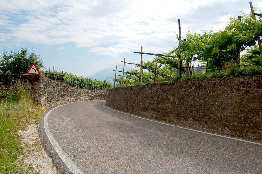
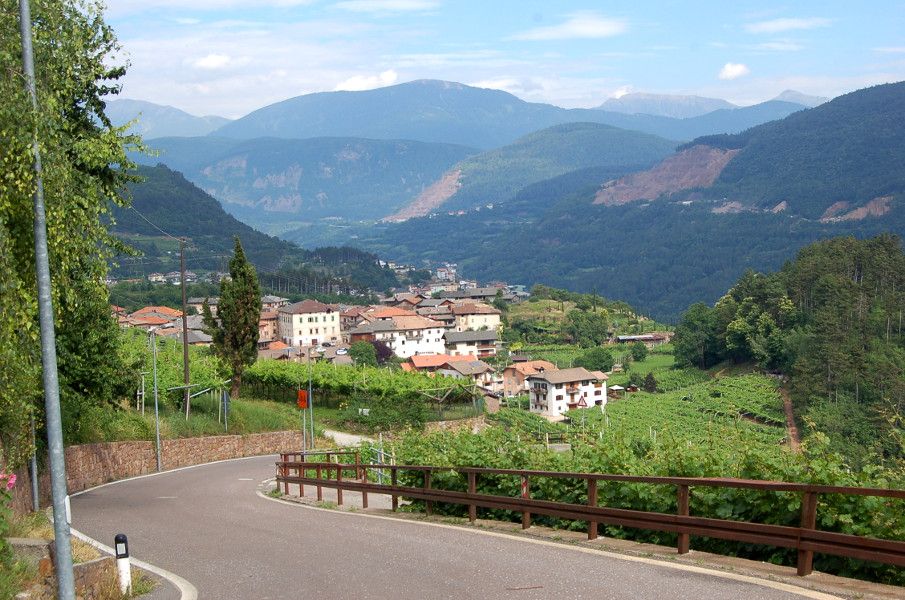
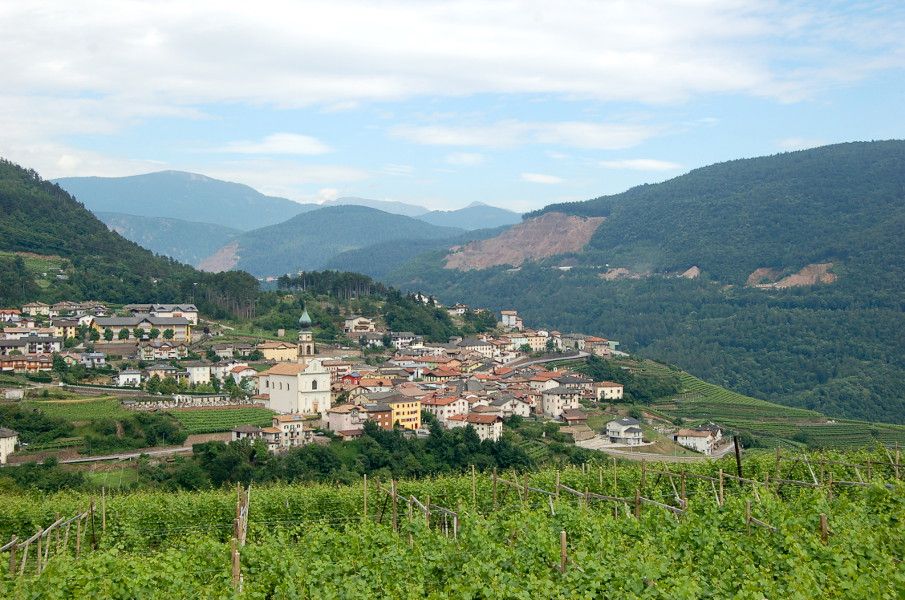
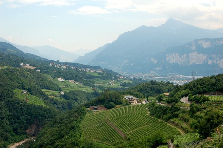
Beautiful circular route (No. 5 on the tourist map), which begins in the Avisiane hills above the Adige Valley, crosses Faedo and touches on the district of Giovo encircling Monte Corona. It then follows the road through the cultivated green terraces of the Cembra Valley before finishing back at Lavis and Pressano.
- Difficulté
-
difficile
- Évaluation
-
- Parcours
-
Pressano (285 m)Nave San Felice (208 m)1,1 kmMasi di Pressano1,7 kmMaso Panizza di Sopra2,3 kmMasi Canazzi5,6 kmMolini di Faedo7,9 kmChiesa del Santissimo Rendentore8,4 kmFaedo8,4 kmchiesa di Sant'Agata8,4 kmLocanda al Minatore8,5 kmPalai9,5 kmPineta di Faedo9,8 kmMasen (790 m)13,1 kmFior Di Bosco13,1 kmVille14,6 kmPomaroli17,5 kmPalù18,0 kmAgriturismo Simoni18,0 kmVerla19,2 kmchiesa dell'Addolorata20,4 kmMosana20,5 kmLavis23,7 kmPressano (285 m)25,2 km
- Meilleure saison
-
janv.févr.marsavrilmaijuinjuil.aoûtsept.oct.nov.déc.
- Hauteur maximale
- 823 m
- Point de mire
-
Via S. Antonio car park - Pressano, Lavis (285 m)
- Profil en hauteur
-
 © outdooractive.com


- Auteur
-
La randonnée The Avisiane hills est utilisé par outdooractive.com fourni par.
GPS Downloads


Autres parcours dans les régions