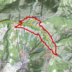
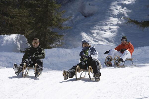
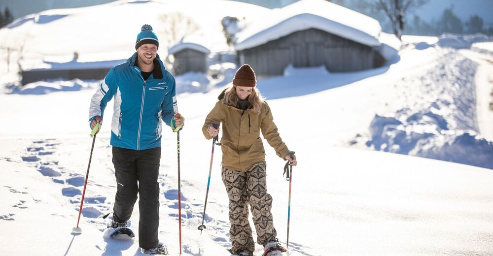
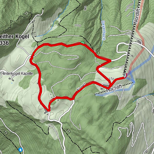
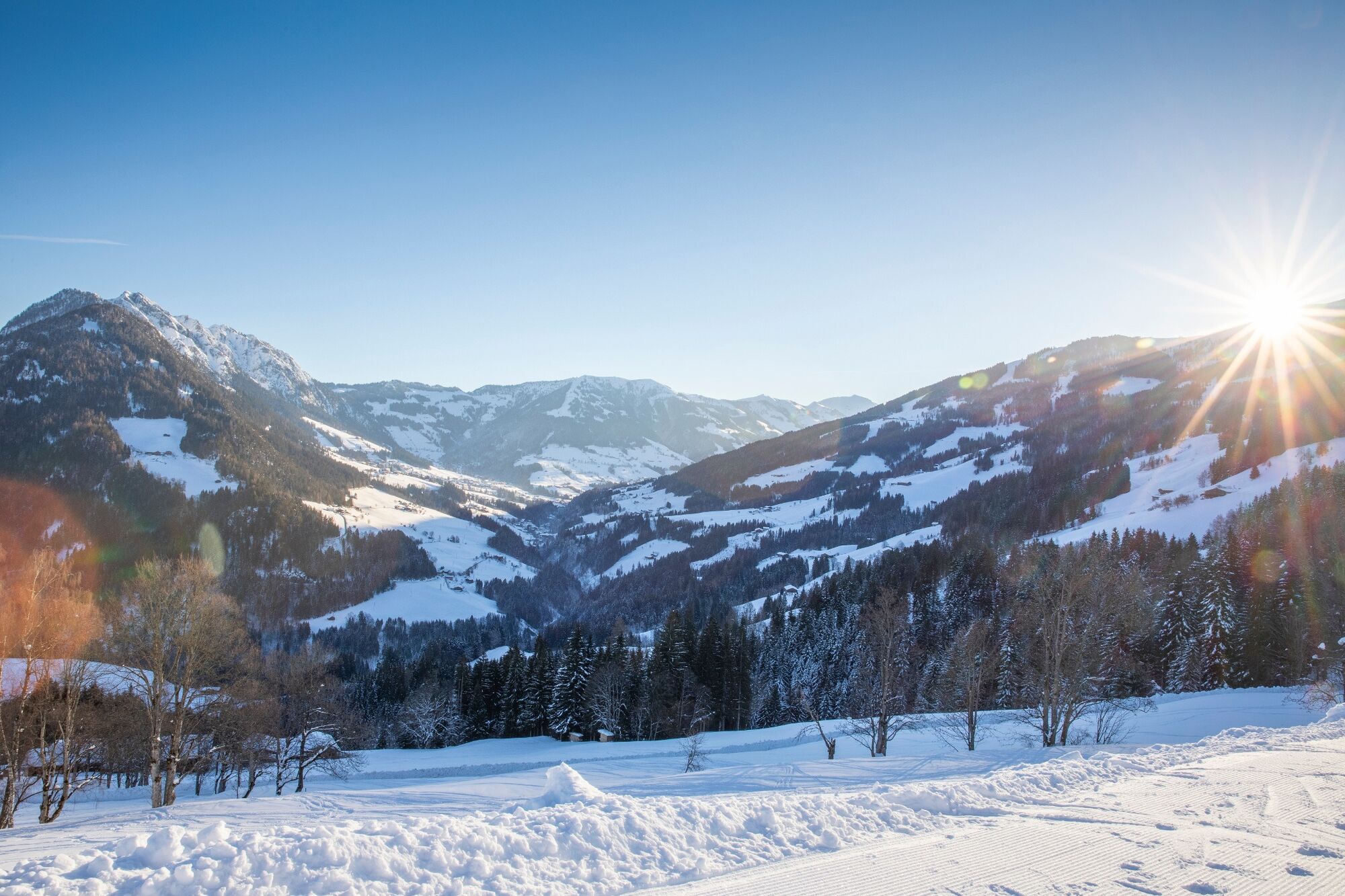
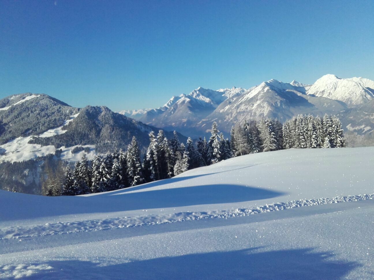
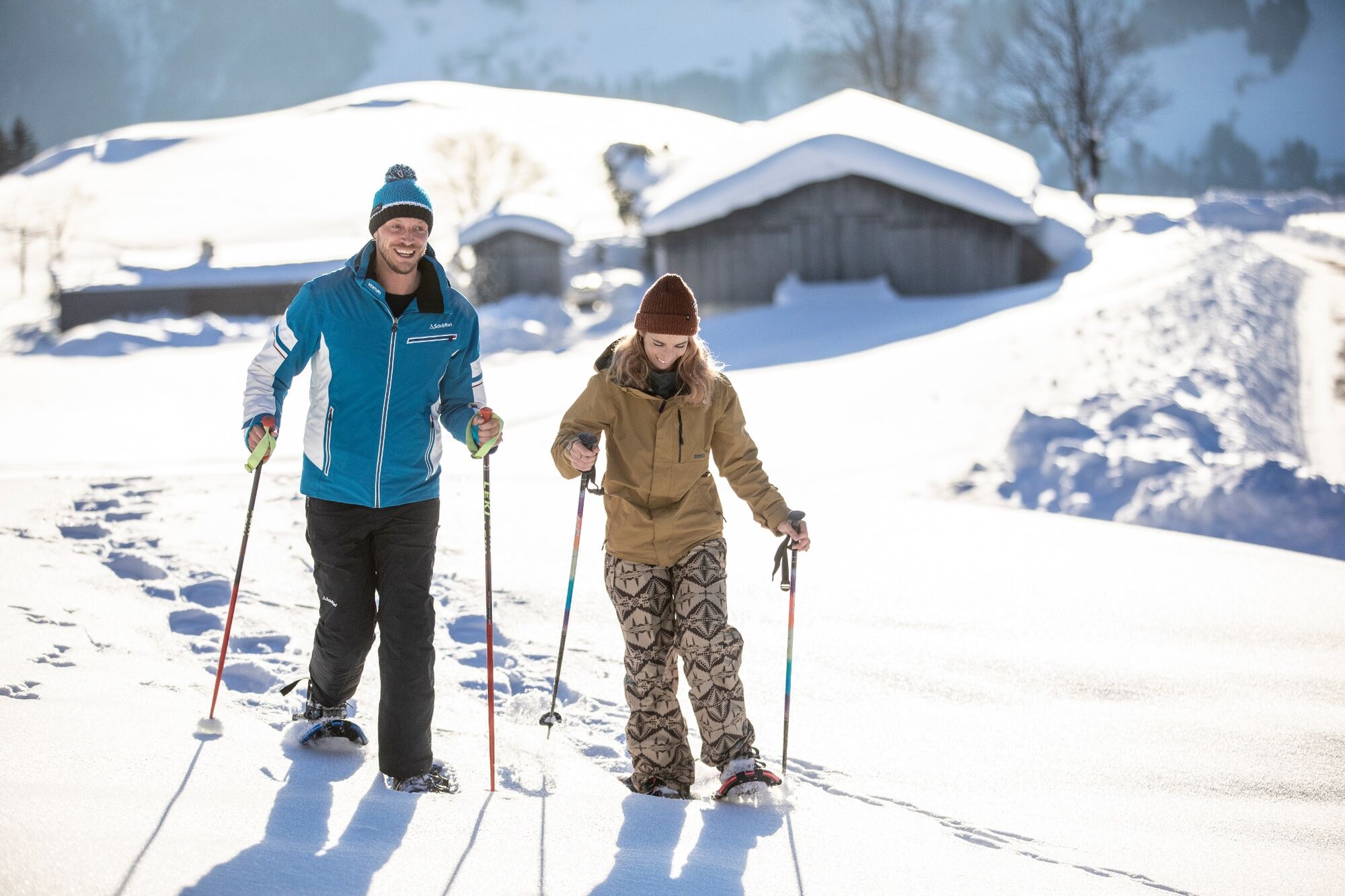
Winter walking from the Reither Kogel top station

Randonnée d'hiver


- Brève description
-
Beautiful winter tour starting from the Reitherkogelbahn top station
- Difficulté
-
facile
- Évaluation
-
- Meilleure saison
-
aoûtsept.oct.nov.déc.janv.févr.marsavrilmaijuinjuil.
- Hauteur maximale
- 1.219 m
- Point de mire
-
Reitherkogelbahn top station
- Profil en hauteur
-


- Auteur
-
La randonnée Winter walking from the Reither Kogel top station est utilisé par outdooractive.com fourni par.
GPS Downloads


Autres parcours dans les régions
-
Alpbachtal
93
-
Bruck am Ziller
27