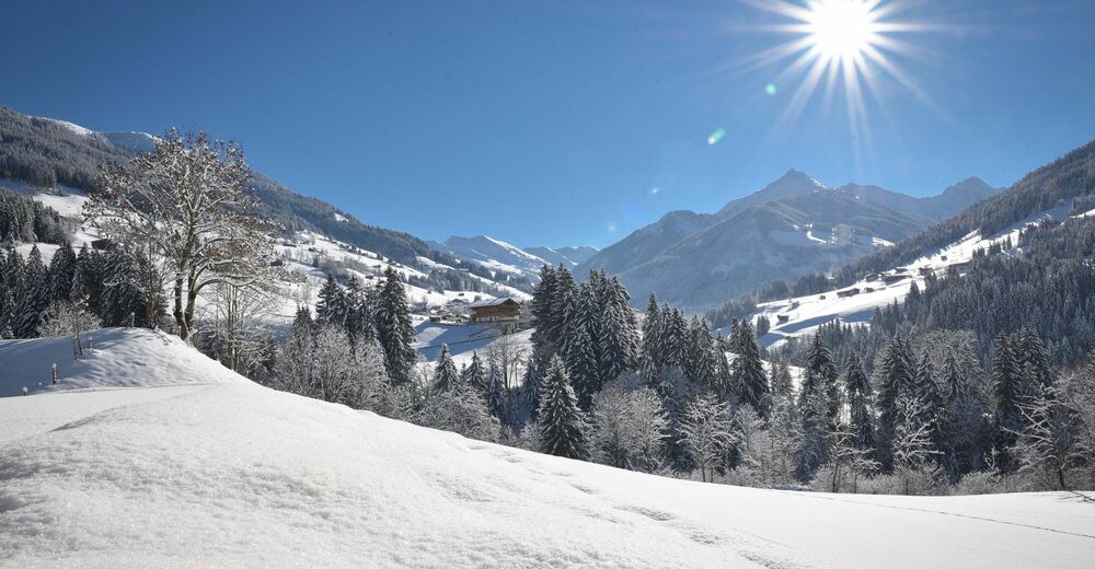
© Alpbachtal Tourismus / Matthias Sedlak
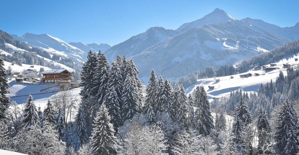
© Alpbachtal Tourismus - Gabriele Grießenböck
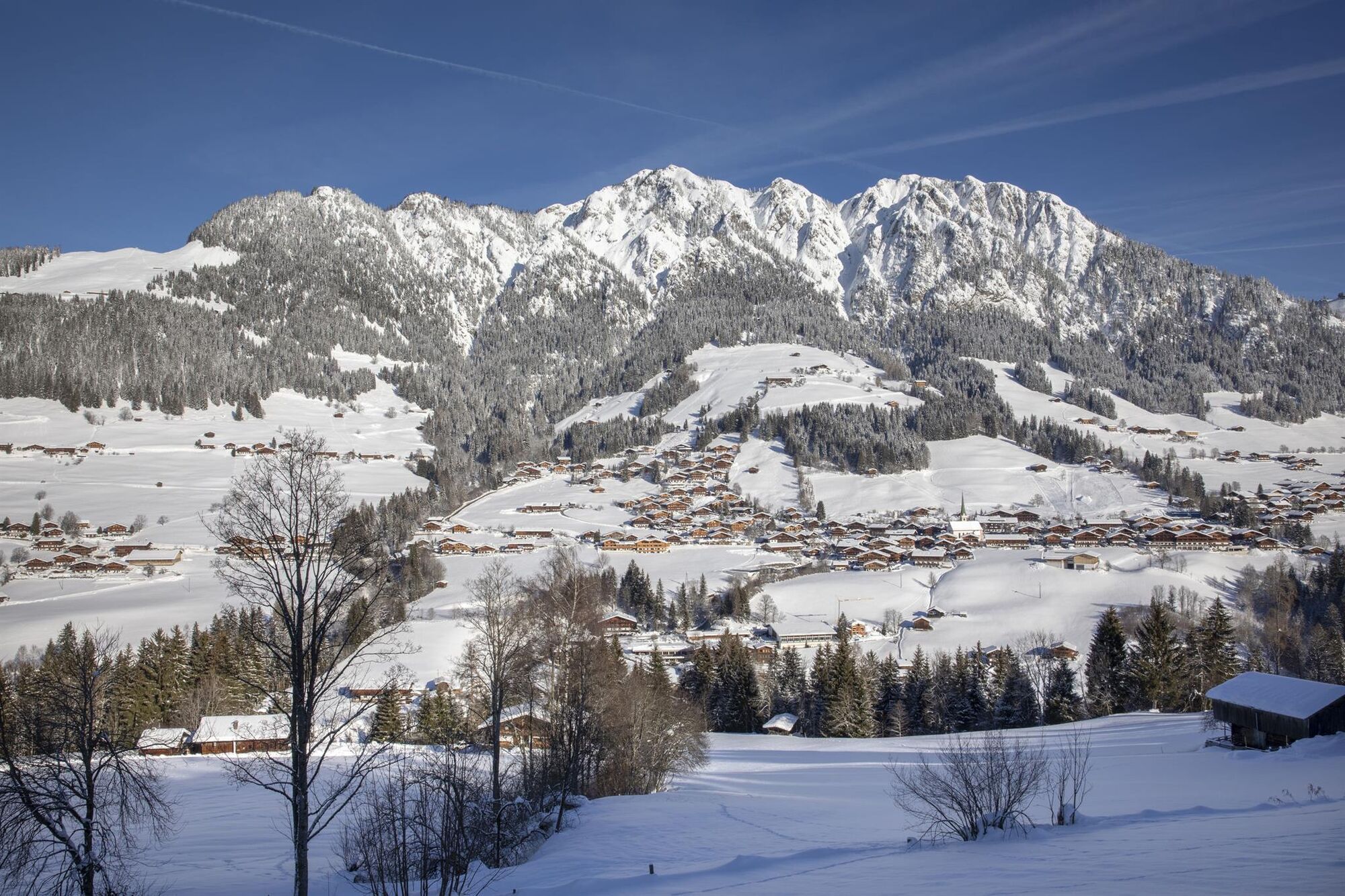
© Alpbachtal Tourismus - Gabriele Grießenböck

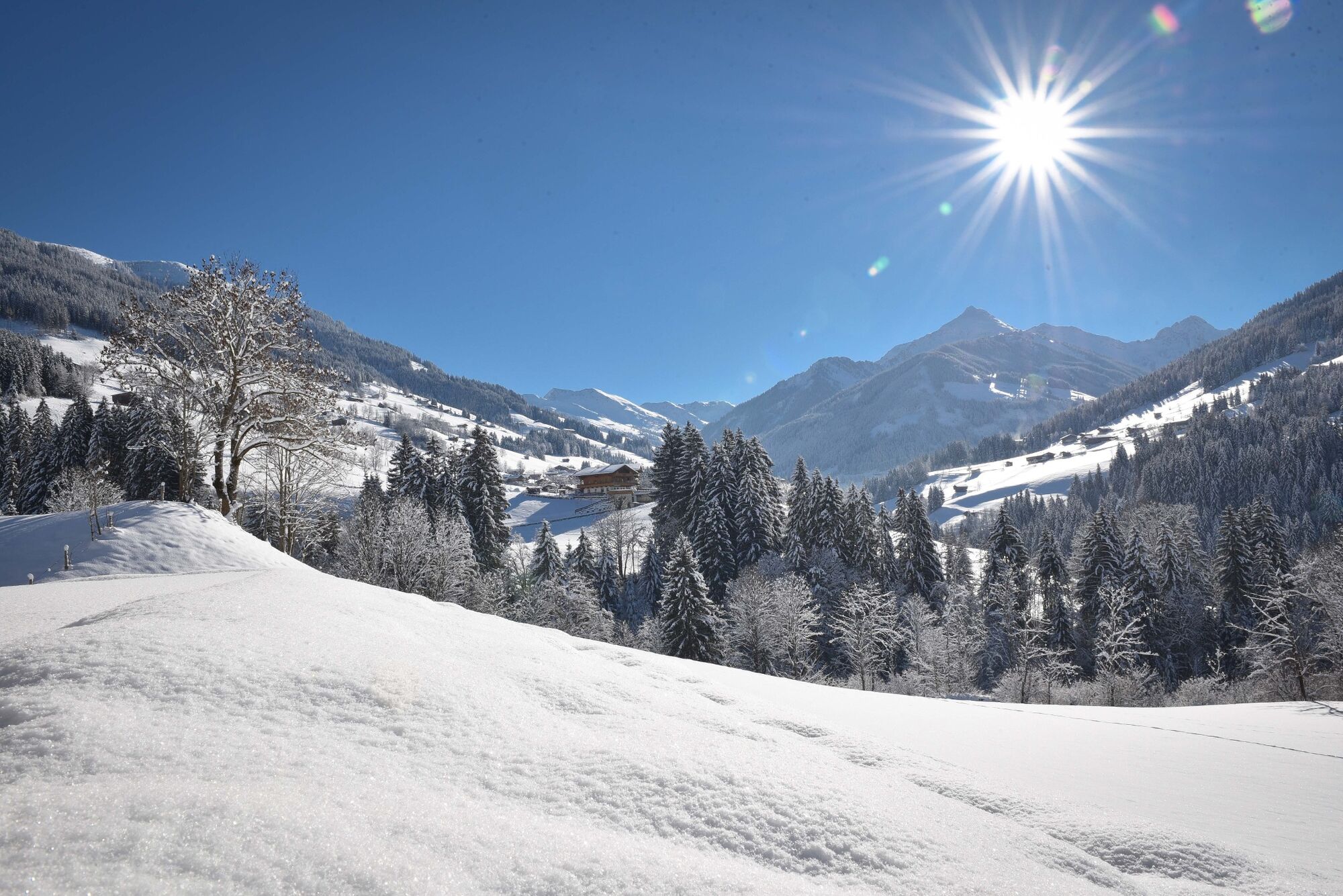
© Konrad Margreiter


© Alpbachtal Tourismus


- Brève description
-
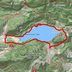
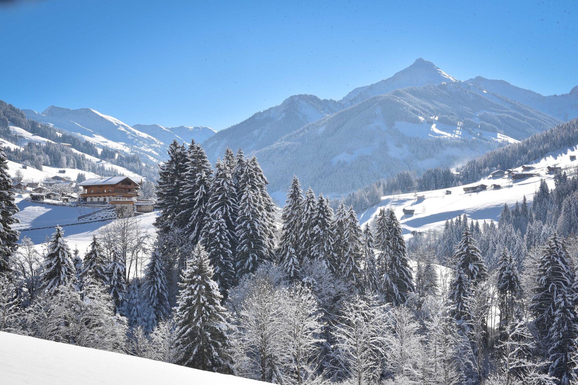
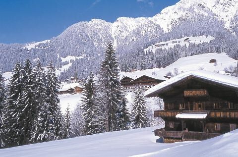
Circular trail - via the "sunny side" of the valley to Inneralpach and "Neader = shady side" back to the starting point. You also take a bus back from Inneralpbach to Alpbach.
- Difficulté
-
moyen
- Évaluation
-
- Parcours
-
Alpbach (975 m)0,0 kmHeiligenkasten0,1 kmPfarrkirche Alpbach0,1 kmInneralpbach3,8 kmSchulmeisterkapelle4,0 kmAlpbach (975 m)10,5 kmHeiligenkasten10,6 kmPfarrkirche Alpbach10,6 km
- Meilleure saison
-
aoûtsept.oct.nov.déc.janv.févr.marsavrilmaijuinjuil.
- Hauteur maximale
- 1.076 m
- Point de mire
-
Alpbach
- Profil en hauteur
-


- Auteur
-
La randonnée Mittlerer Höhenweg - Alpbach est utilisé par outdooractive.com fourni par.
GPS Downloads


Informations générales
Point de rassemblement
Autres parcours dans les régions
-
Alpbachtal
94
-
Alpbach
37