© Outdooractive Premium - Hartmut Wimmer

© Outdooractive Premium - Hartmut Wimmer

© Outdooractive Premium - Hartmut Wimmer

© Outdooractive Premium - Hartmut Wimmer

© Outdooractive Premium - Hartmut Wimmer

© Outdooractive Premium - Hartmut Wimmer

© Outdooractive Premium - Hartmut Wimmer

© Outdooractive Premium - Hartmut Wimmer

© Tannheimer Tal - Florian Müller

© Tannheimer Tal - Michael Keller
- Brève description
-
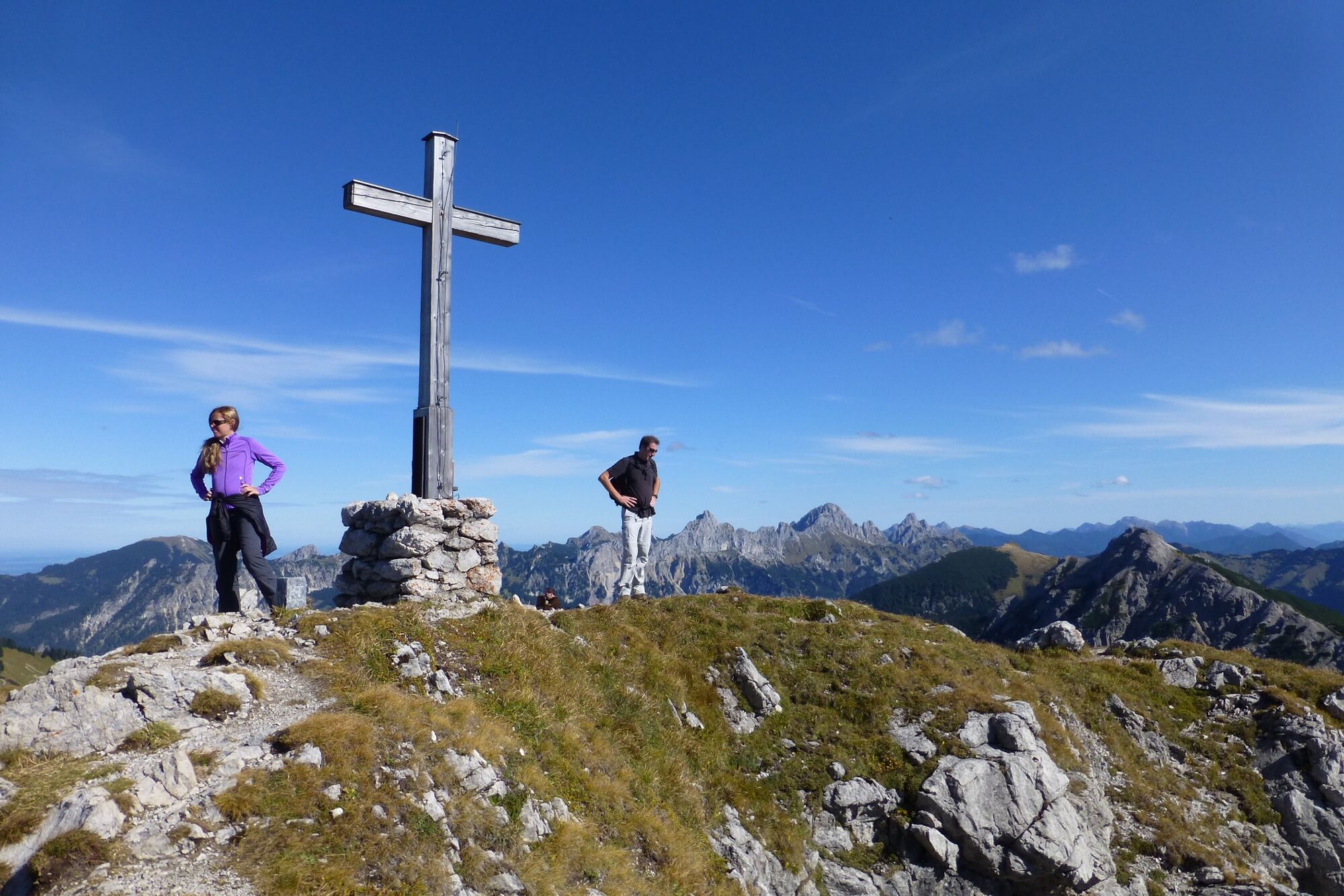
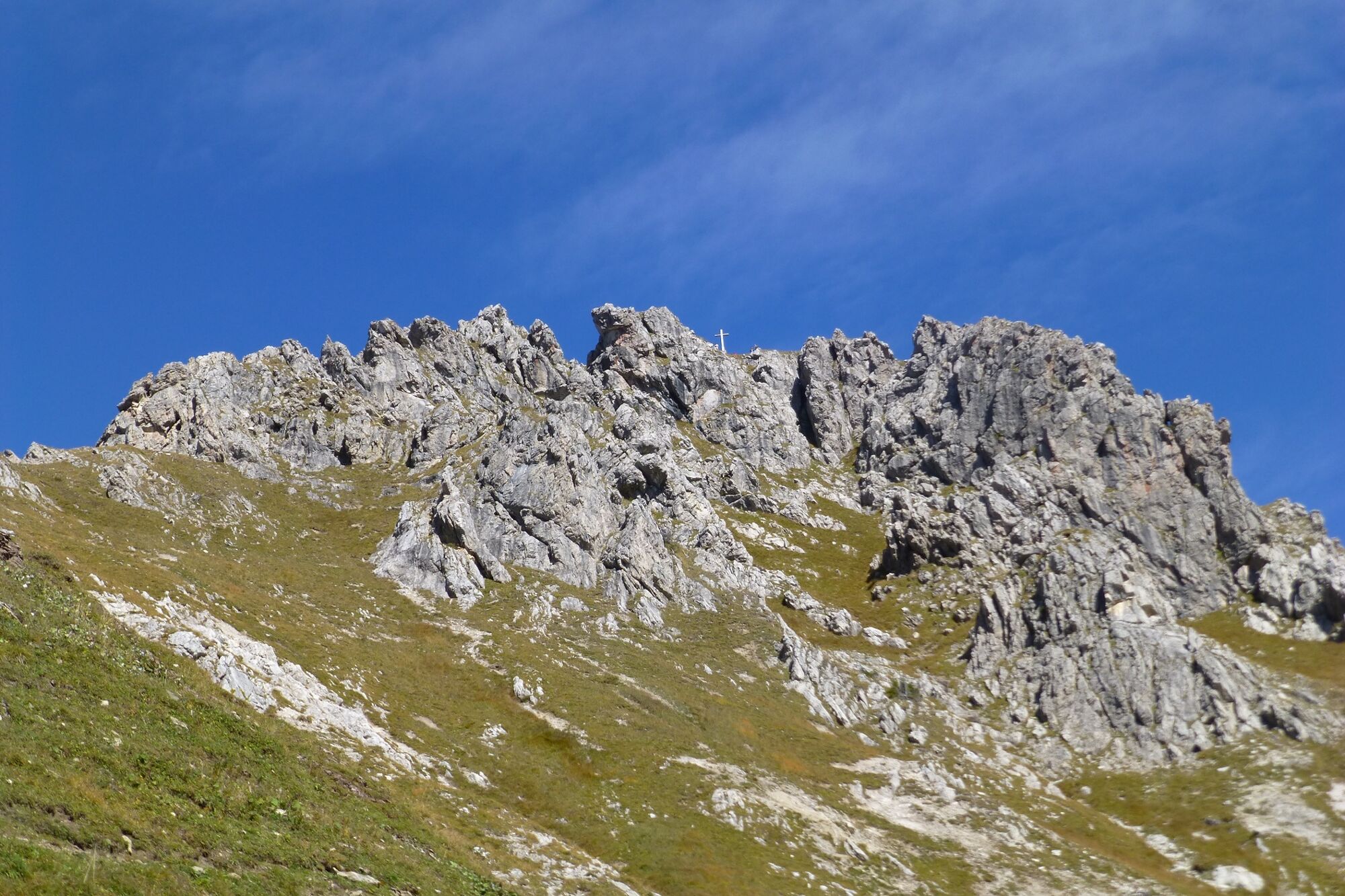
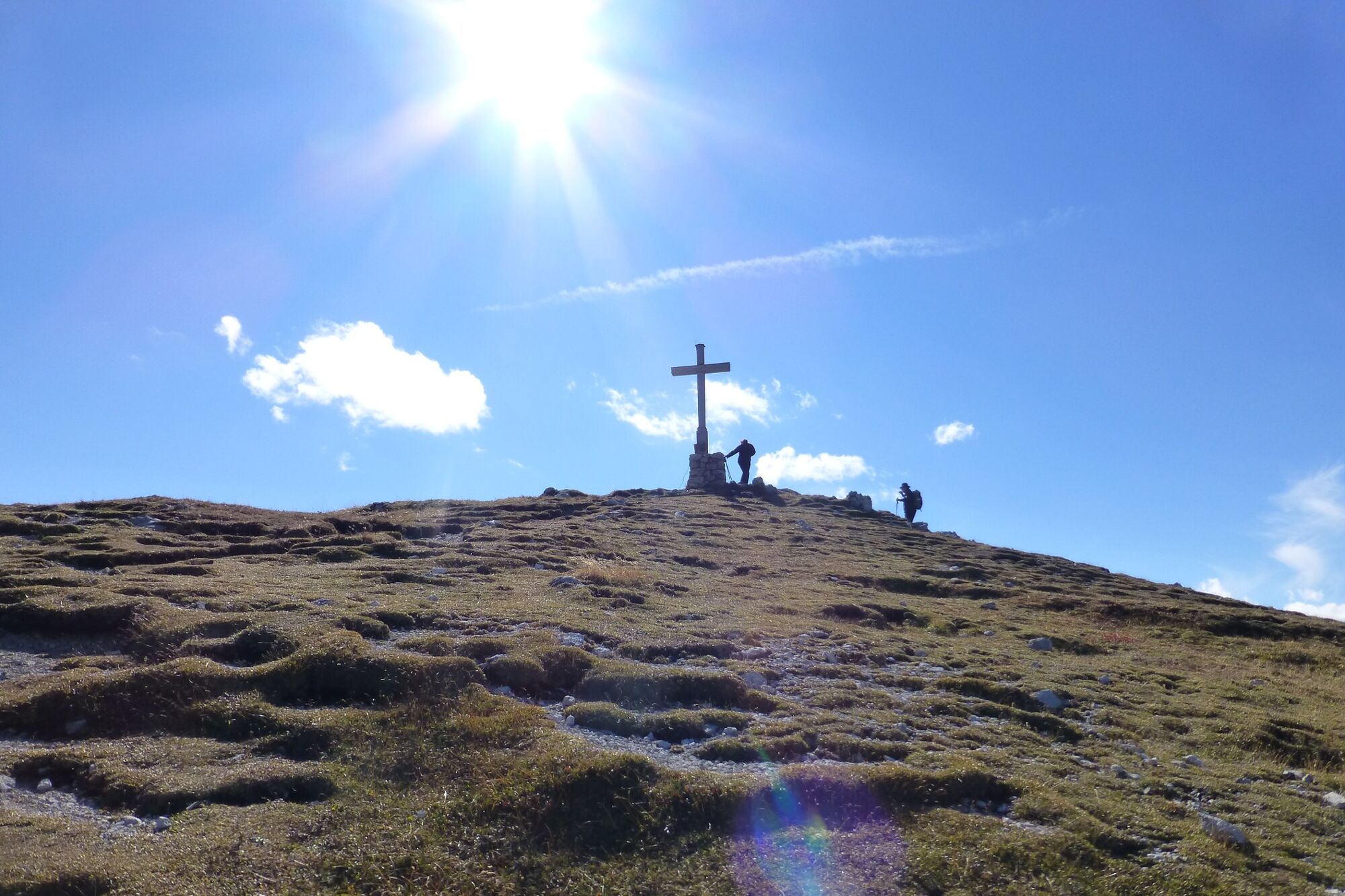
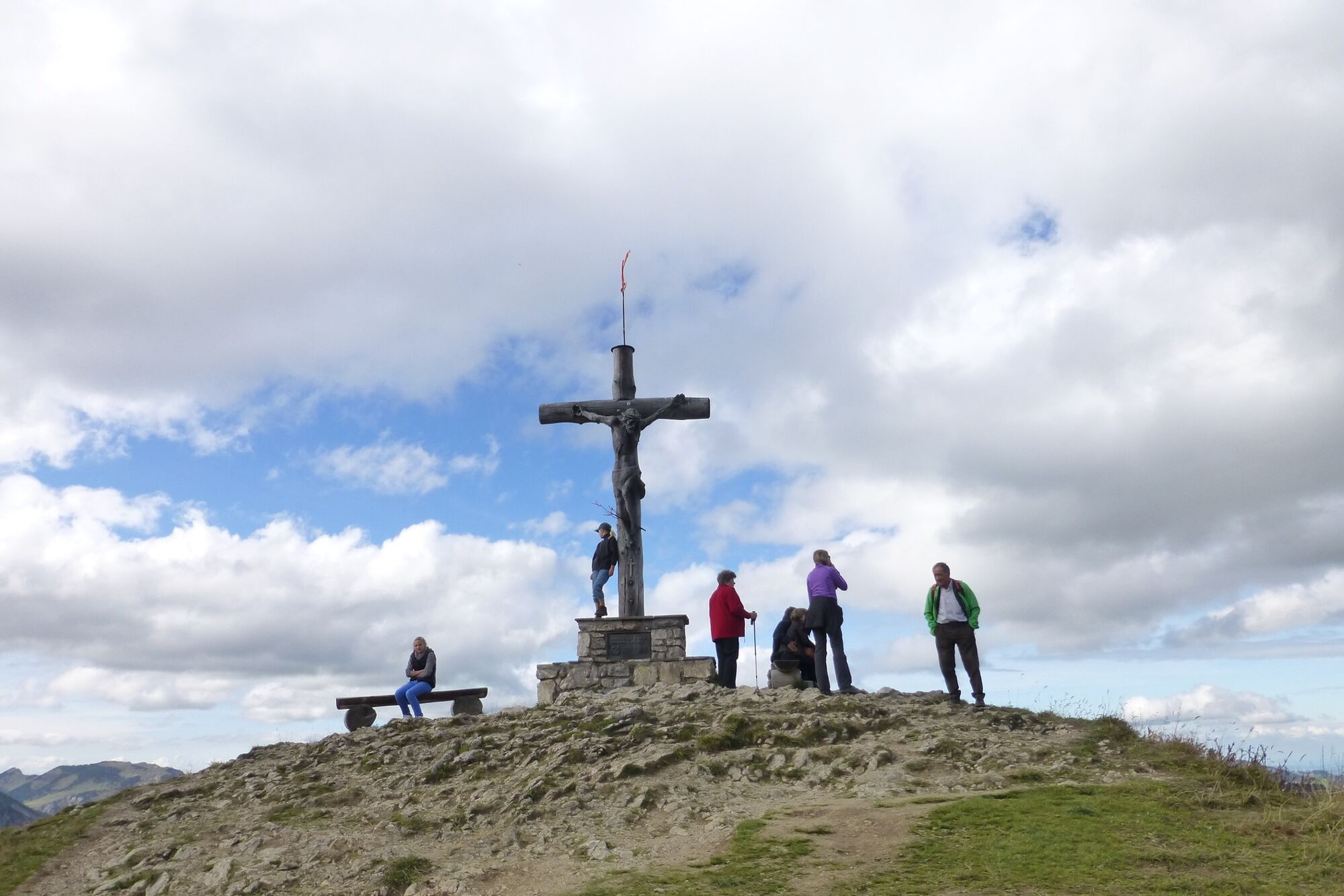
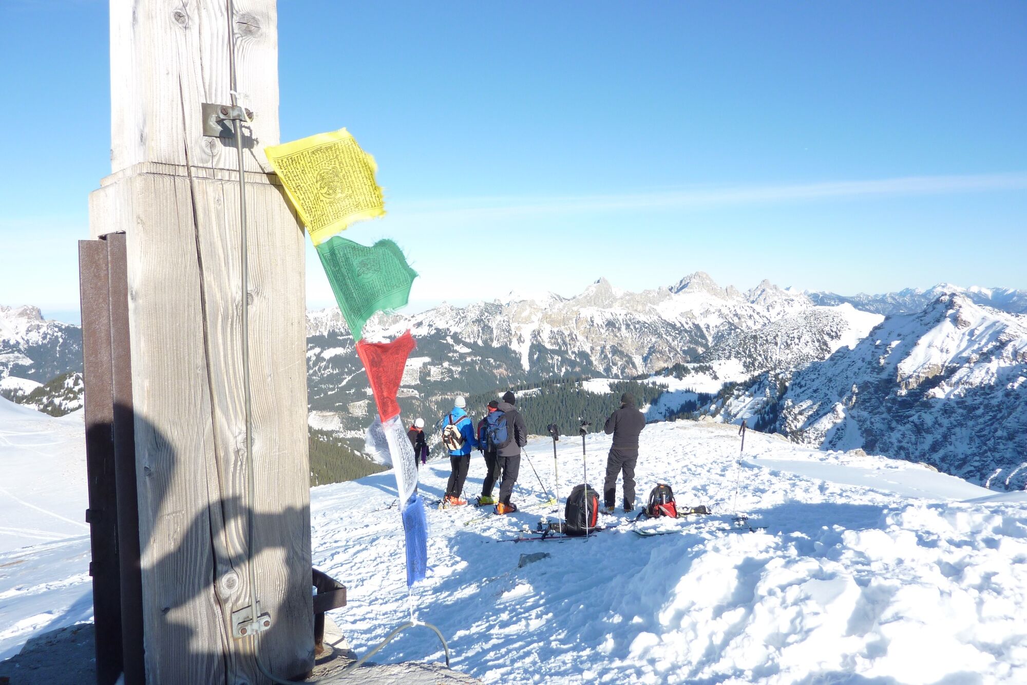
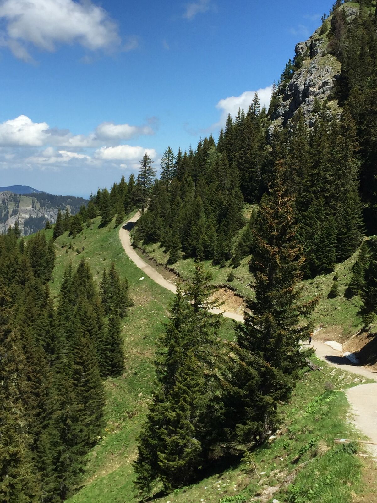
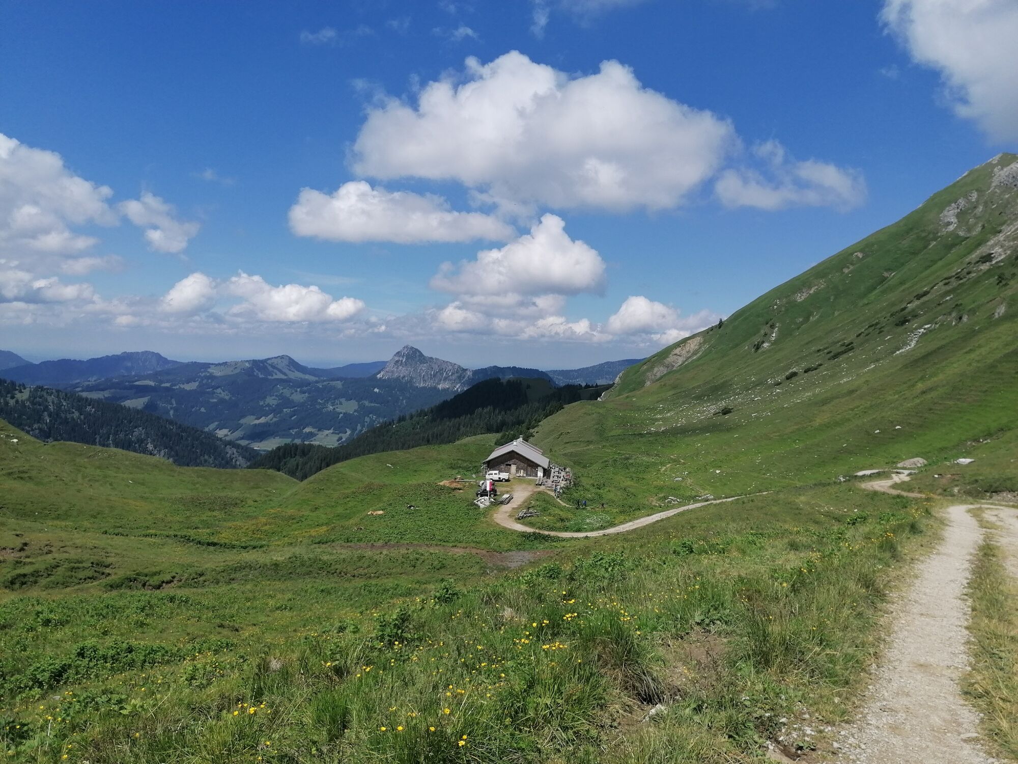
Fantastic summit tour to the Sulzspitze
- Difficulté
-
moyen
- Évaluation
-
- Parcours
-
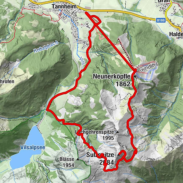
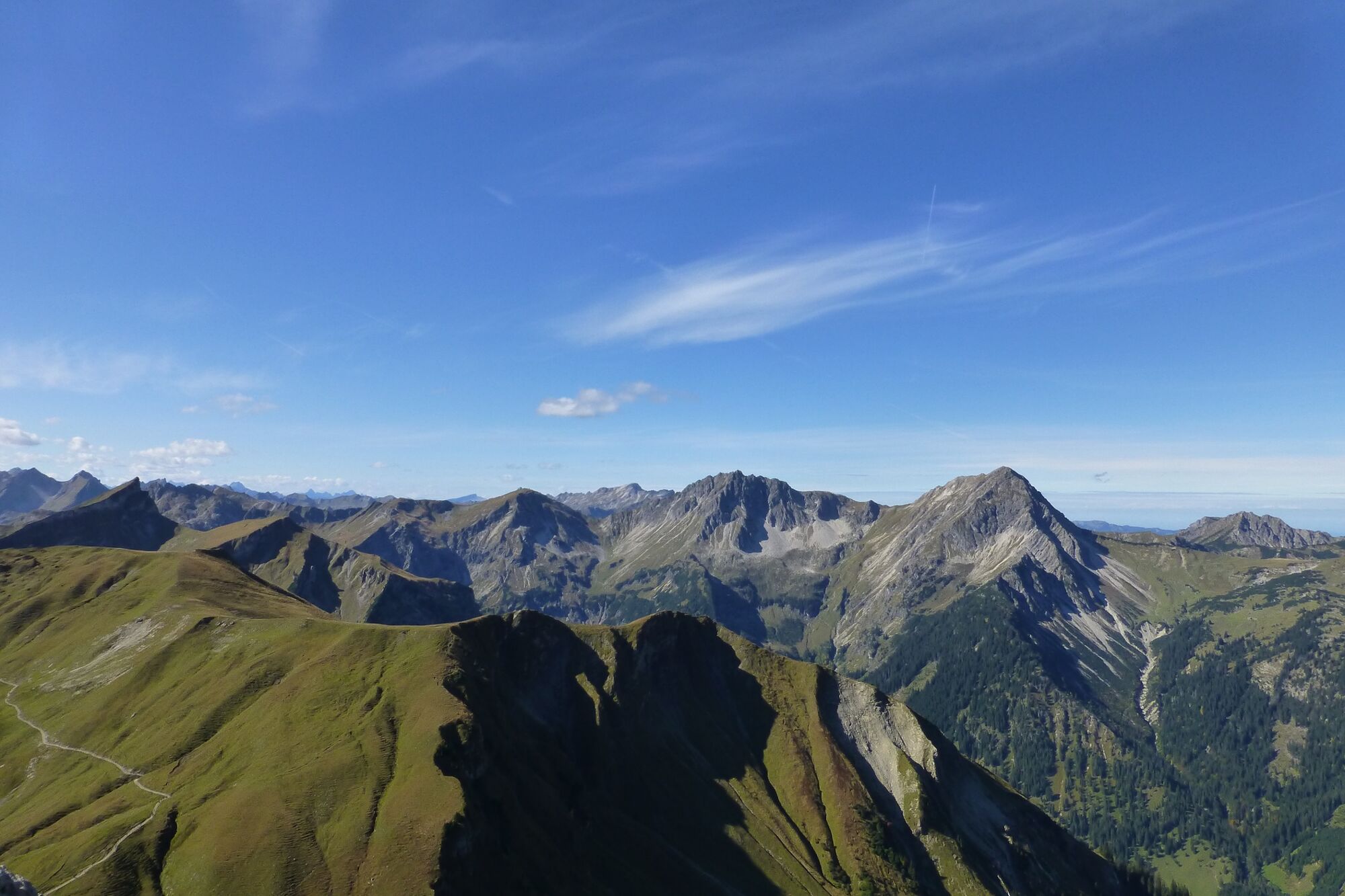
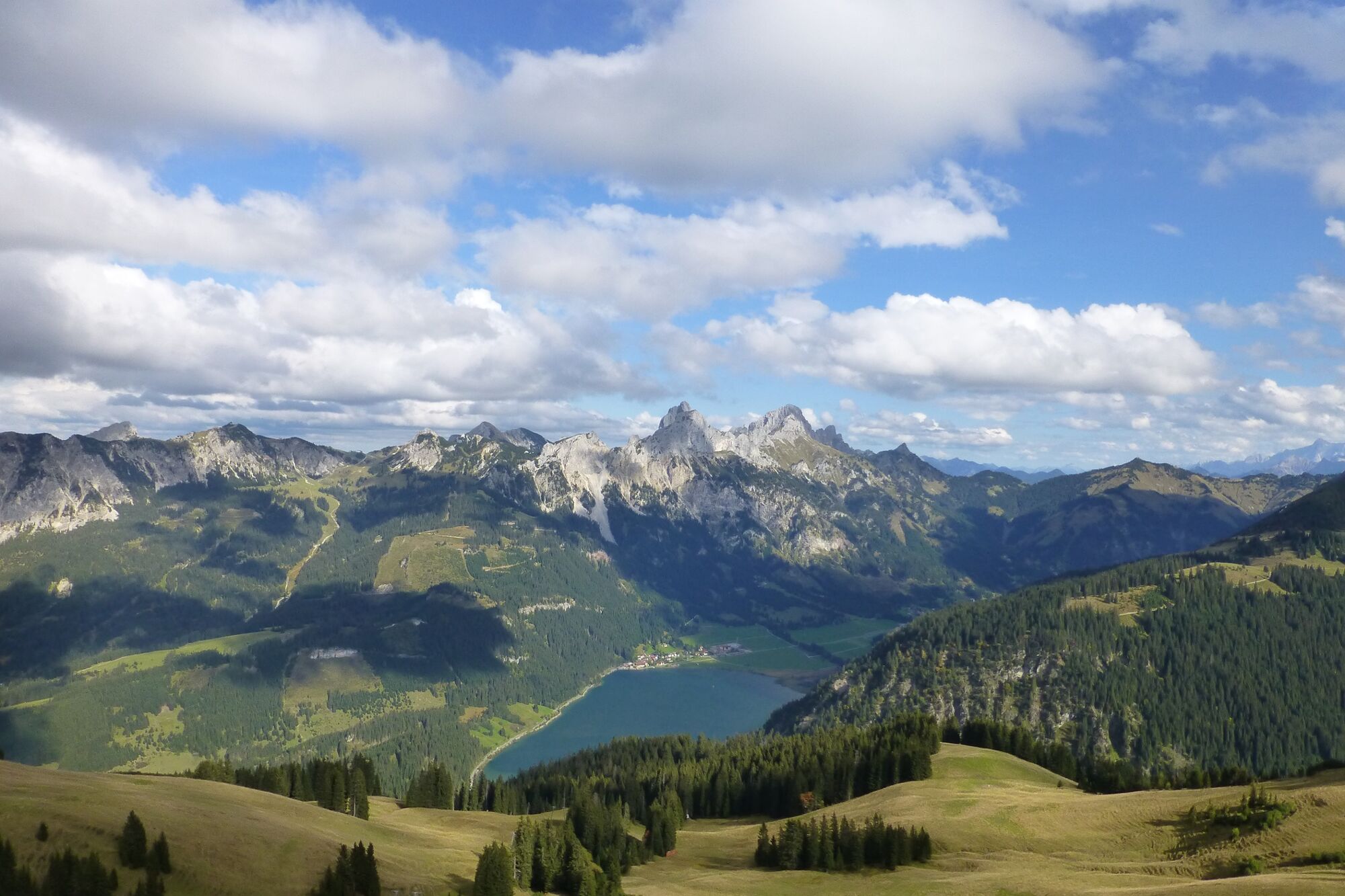
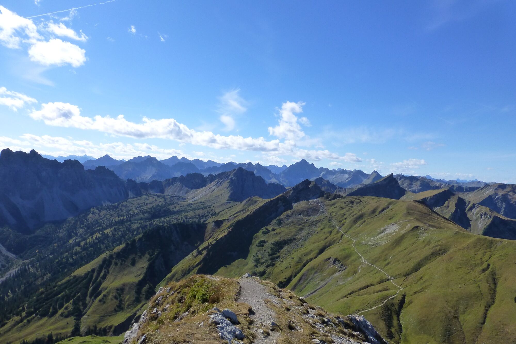
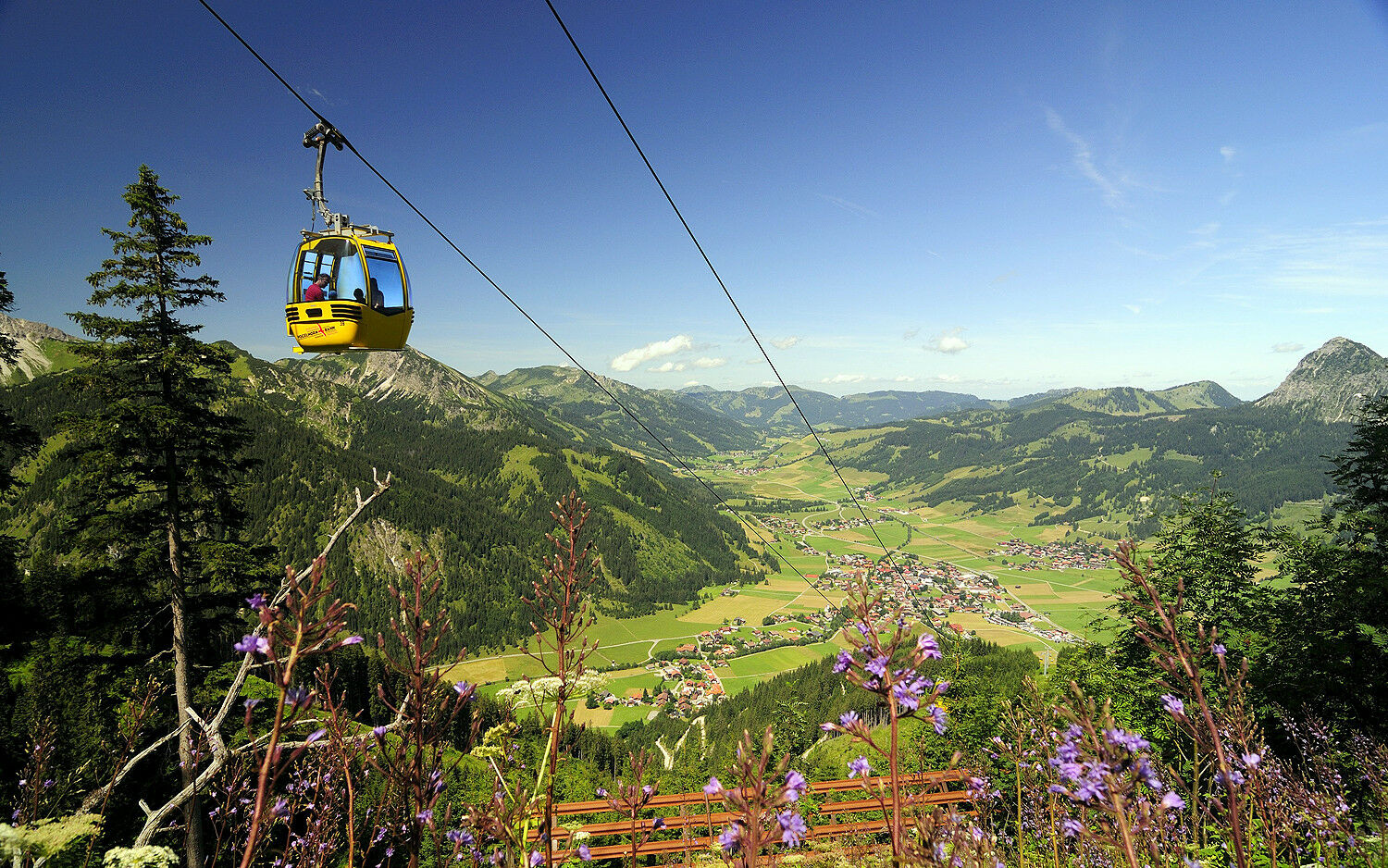
Gondelbahn Neunerköpfle2,2 kmSulzspitze (2.084 m)6,0 kmGappenfeldalpe7,5 km
- Meilleure saison
-
janv.févr.marsavrilmaijuinjuil.aoûtsept.oct.nov.déc.
- Hauteur maximale
- 2.075 m
- Point de mire
-
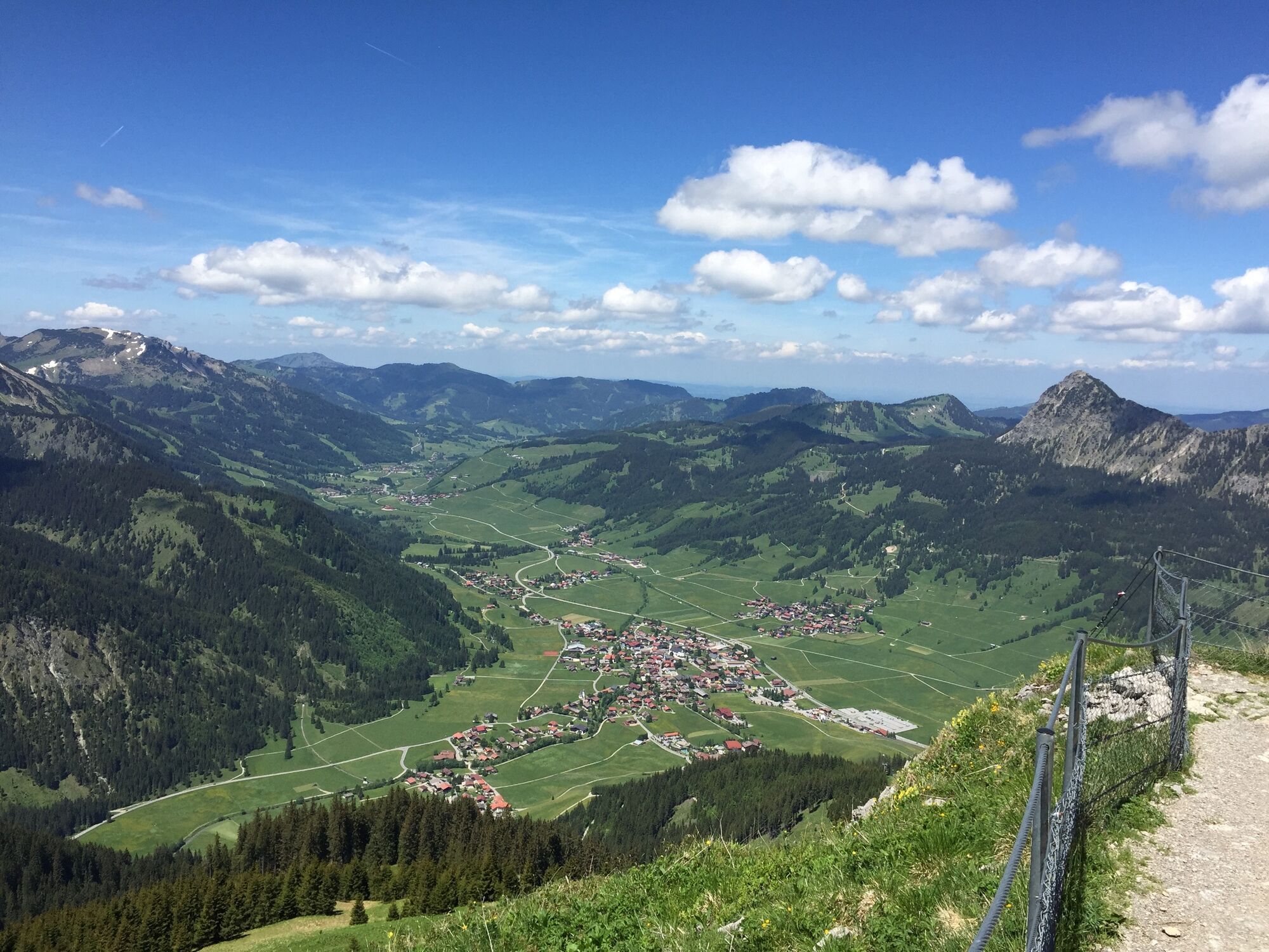
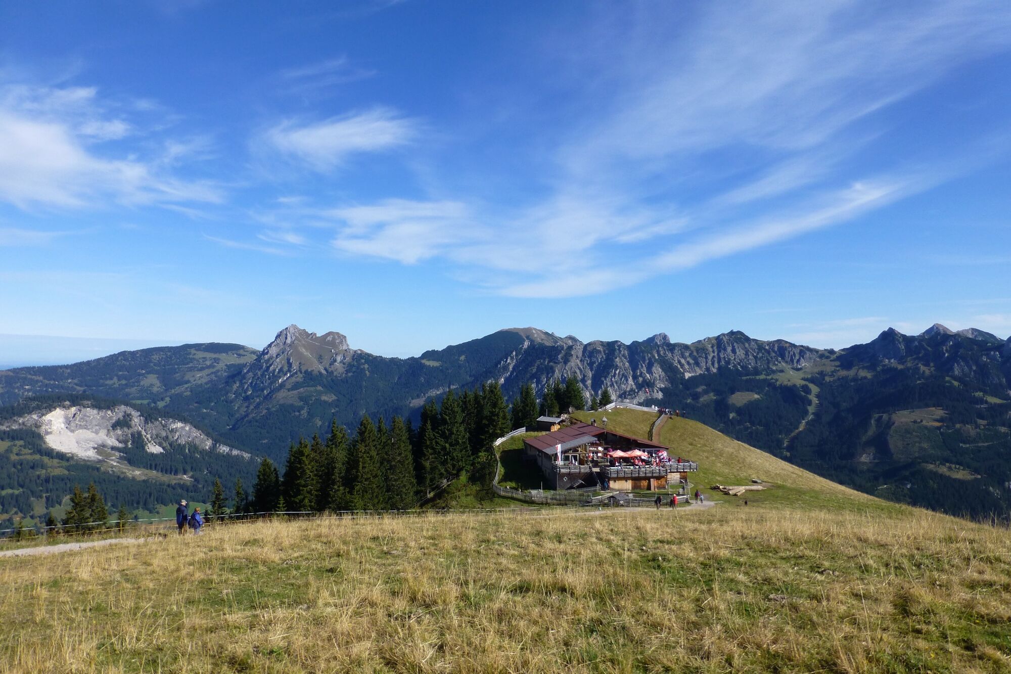
Bottom station Tannheim mountain railway
- Profil en hauteur
-


-

-
AuteurLa randonnée From Tannheim to Sulzspitze est utilisé par outdooractive.com fourni par.
GPS Downloads


Informations générales
Point de rassemblement
Flore
Faune
Prometteur
Autres parcours dans les régions
-
Allgäu
2360
-
Tannheimer Tal
1449
-
Tannheim
519