Dates des itinéraires
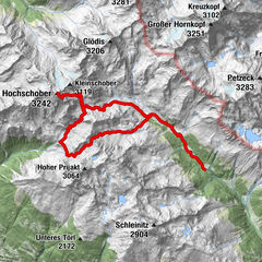
11,65km
1.156
- 1.901m
820hm
819hm
03:17h

- Brève description
-
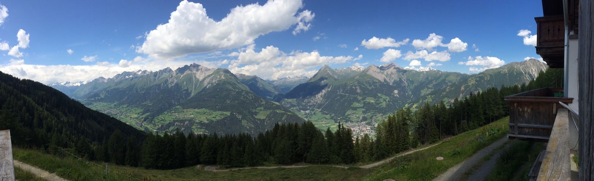
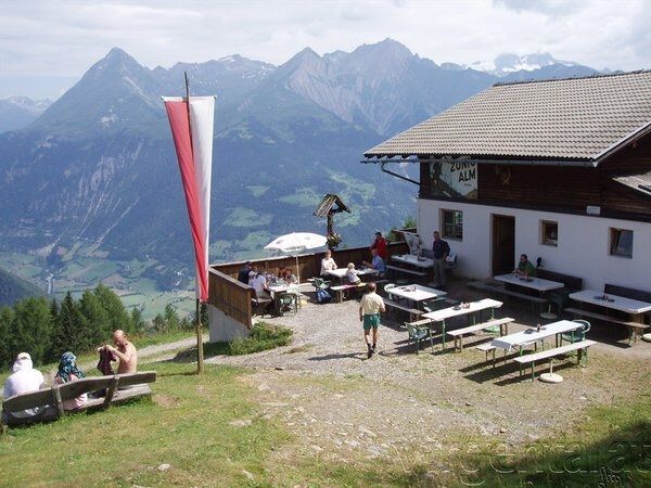
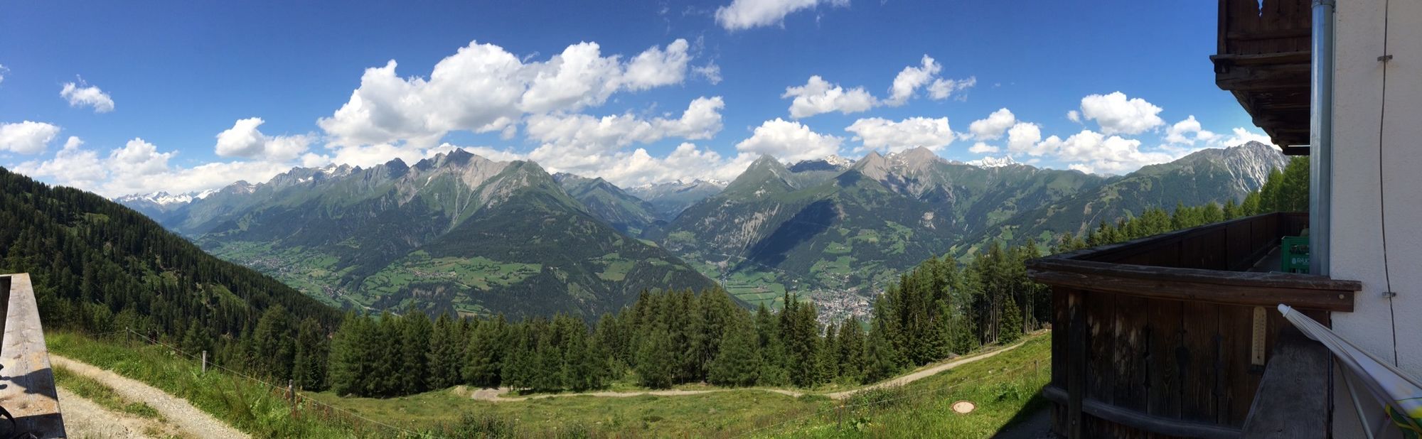
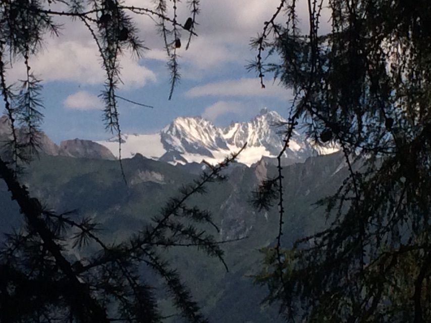
Überaus lohnende Wanderung zur Zunigalm. Sehr empfehlenswert!
- Difficulté
-
moyen
- Évaluation
-
- Parcours
-
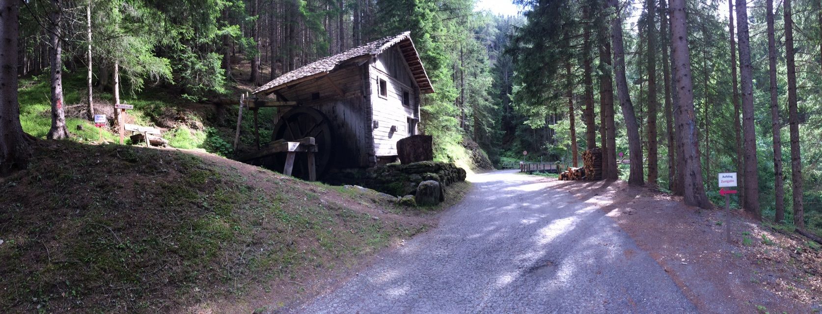
Arnitzalm3,8 kmZunigalm6,6 km
- Meilleure saison
-
janv.févr.marsavrilmaijuinjuil.aoûtsept.oct.nov.déc.
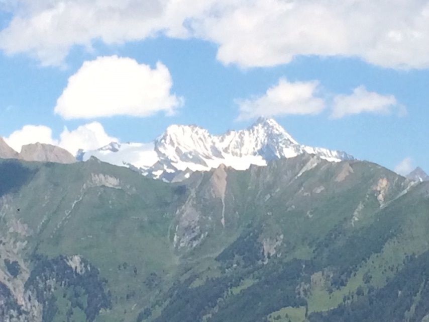
- Hauteur maximale
- 1.901 m
GPS Downloads


Autres parcours dans les régions