© Archiv Imst Tourismus - DANIKO
Dates des itinéraires
4,59km
1.504
- 2.496m
957hm
9hm
04:00h
- Brève description
-
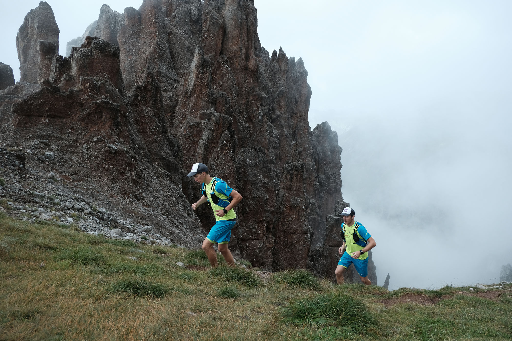
Alpine Wanderung, die Trittsicherheit, Schwindelfreiheit und Klettertechnik erfordert.
- Difficulté
-
difficile
- Évaluation
-
- Point de départ
-
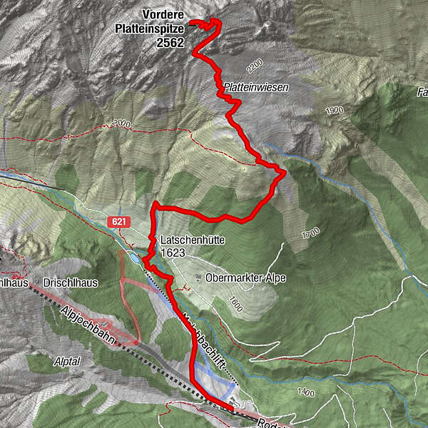
Latschenhütte, Ausgangspunkt erreichbar von Hoch-Imst aus durch die Imster Bergbahnen bis zur Untermarkter Alm. Von dort geht man zur Latschenhütte.
- Parcours
-
Untermarkter Alm0,0 kmLatschenhütte (1.623 m)1,4 km
- Meilleure saison
-
janv.févr.marsavrilmaijuinjuil.aoûtsept.oct.nov.déc.
- Hauteur maximale
- 2.496 m
- Point de mire
-
Vordere Platteinspitze
- Repos/Rassembler
-
Untermarkter Alm, Latschenhütte
- Cartes
-
Imst Tourismus
GPS Downloads


Nature du chemin
Asphalte
Gravier
Pelouse
Forêt
Rocher
Exposé
Autres parcours dans les régions
-
Outdoorregion Imst
1228
-
Imst
239