

Dates des itinéraires
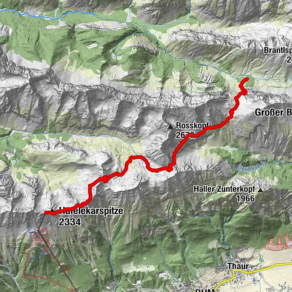
13,01km
1.762
- 2.273m
916hm
477hm
05:30h
- Difficulté
-
difficile
- Évaluation
-
- Point de départ
-
Hallangeralm bzw. Hallangerhaus
- Parcours
-
Hallerangerhaus0,1 kmDurchschlag0,9 kmKohlstatt (1.978 m)2,7 kmPausenplatz5,1 kmNotraum7,6 kmPfeishütte7,6 kmKarstube13,0 kmKarwendel view13,0 km
- Hauteur maximale
- 2.273 m
- Repos/Rassembler
-
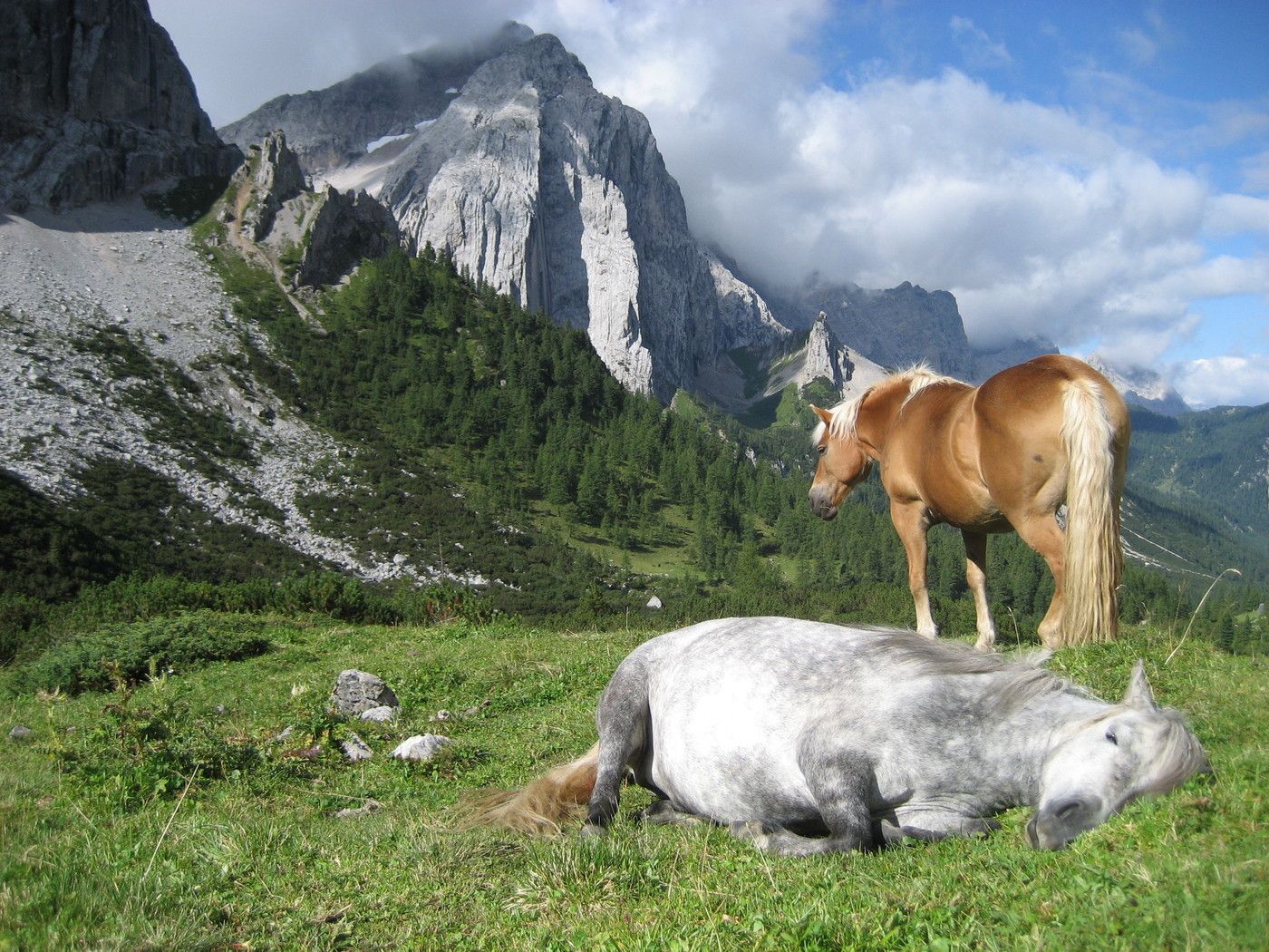
Zahlreiche Hütten und Berggasthöfe
- Litérature
- Cartes
-
Tourismsuverband Region Hall-Wattens
www.hall-wattens.at/de/prospektbestel...
GPS Downloads


Nature du chemin
Asphalte
Gravier
Pelouse
Forêt
Rocher
Exposé
Autres parcours dans les régions


