© Tourismusverband Seefeld - Region Seefeld

© Tourismusverband Seefeld - Region Seefeld

© Tourismusverband Seefeld - Region Seefeld

© Tourismusverband Seefeld - Region Seefeld

- Brève description
-
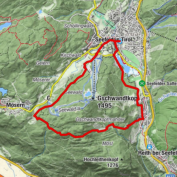
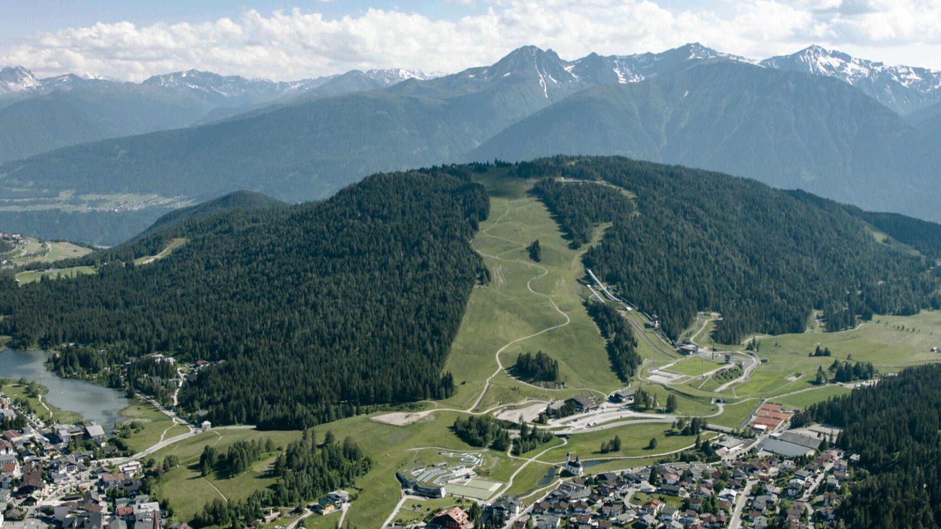
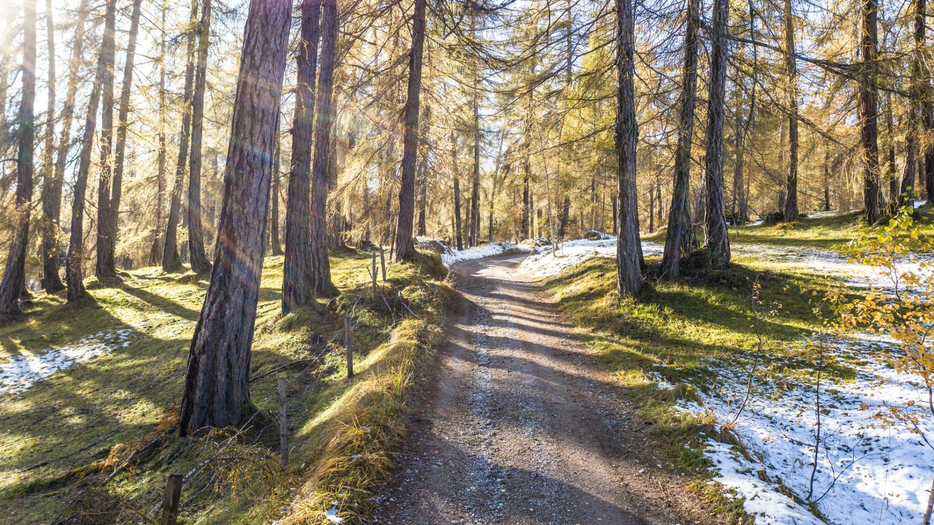
Landschafts- und panoramareiche Wanderrunde mit wunderschönen Rastmöglichkeiten.
- Parcours
-
Seefeld in Tirol (1.182 m)Seefeld in Tirol (1.180 m)0,2 kmPfarrkirche St. Oswald0,2 kmEnzianhütte7,2 kmAuland7,7 kmEnglhof7,7 kmSeefeld in Tirol (1.180 m)10,3 kmSeefeld in Tirol (1.182 m)10,6 km
- Hauteur maximale
- 1.339 m
- Point de mire
-
Seefeld Bahnhof
- Profil en hauteur
-


- Auteur
-
La randonnée Rundwanderung um den Gschwandtkopf est utilisé par outdooractive.com fourni par.
GPS Downloads


Autres parcours dans les régions