

© Tourismusverband Region Hall-Wattens - Anne W.

© Tourismusverband Region Hall-Wattens - Anne W.

© Tourismusverband Region Hall-Wattens - Anne W.

© Tourismusverband Region Hall-Wattens - Anne W.

© Tourismusverband Region Hall-Wattens - Anne W.

© Tourismusverband Region Hall-Wattens - Anne W.

© Tourismusverband Region Hall-Wattens - Anne W.

© Tourismusverband Region Hall-Wattens - Anne W.

© Tourismusverband Region Hall-Wattens - Anne W.

© DAV Sektion Schwaben - Klaus Berghold
Dates des itinéraires
11,69km
803
- 2.076m
1.272hm
325hm
04:30h

- Brève description
-
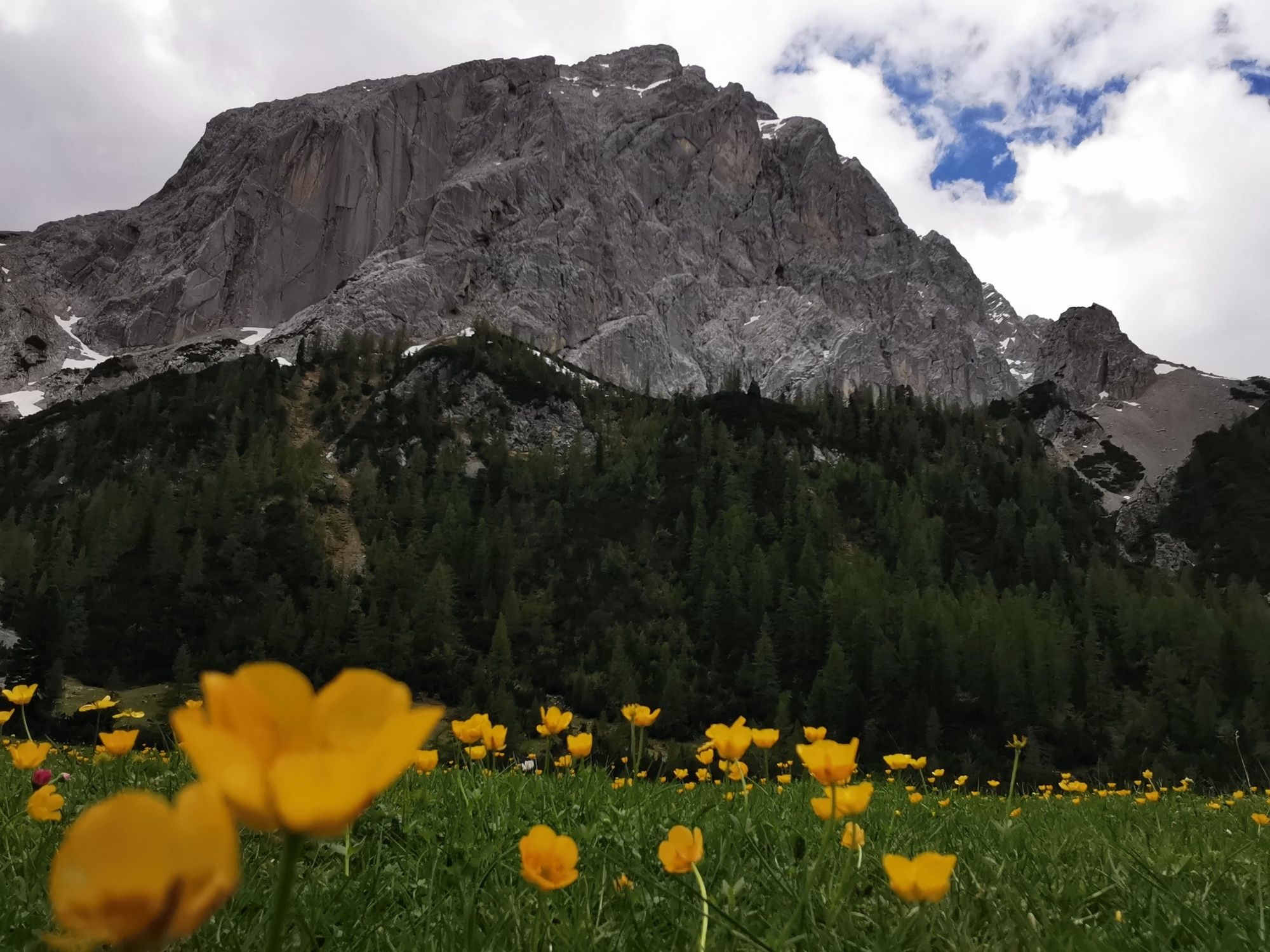
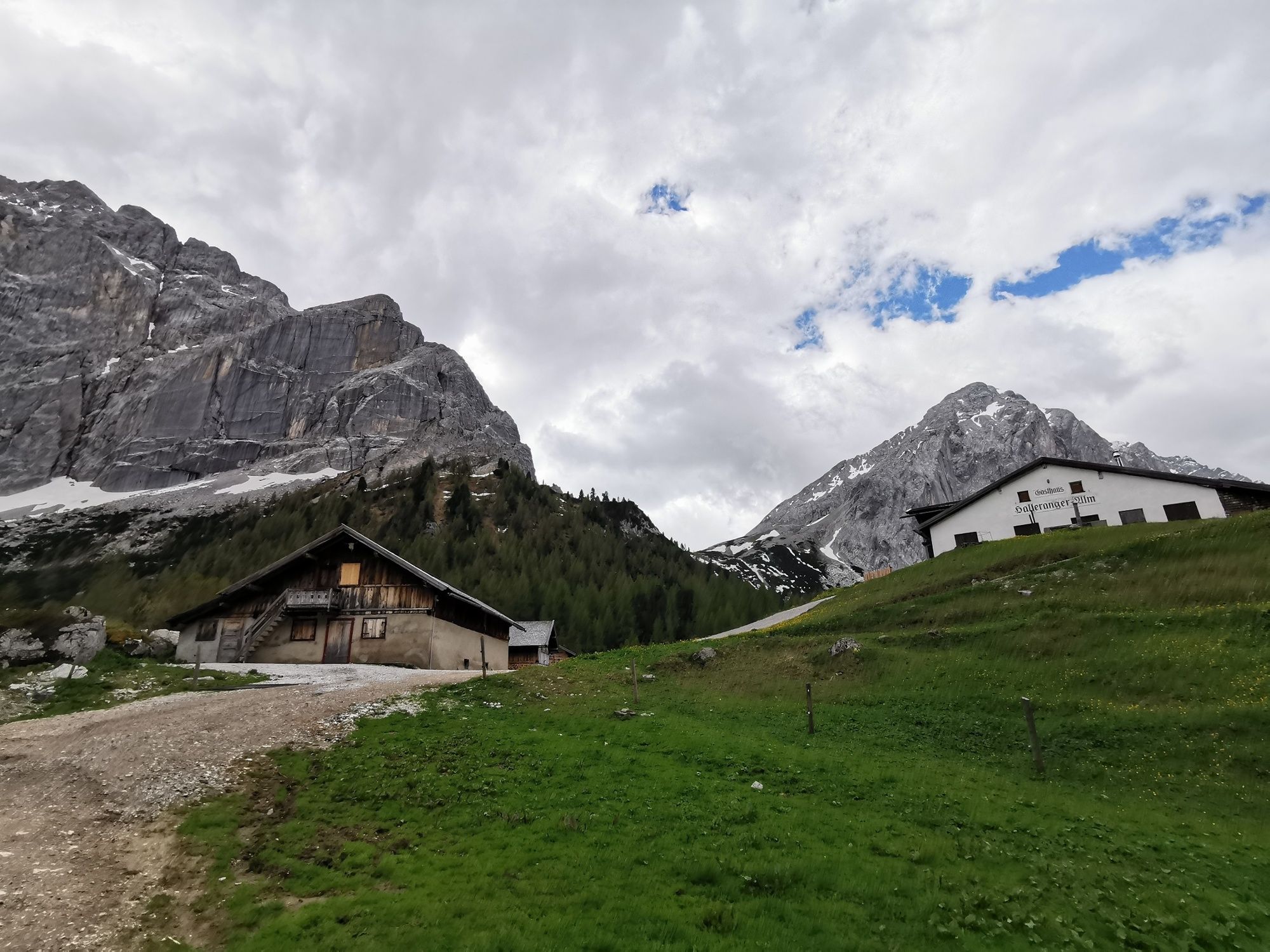
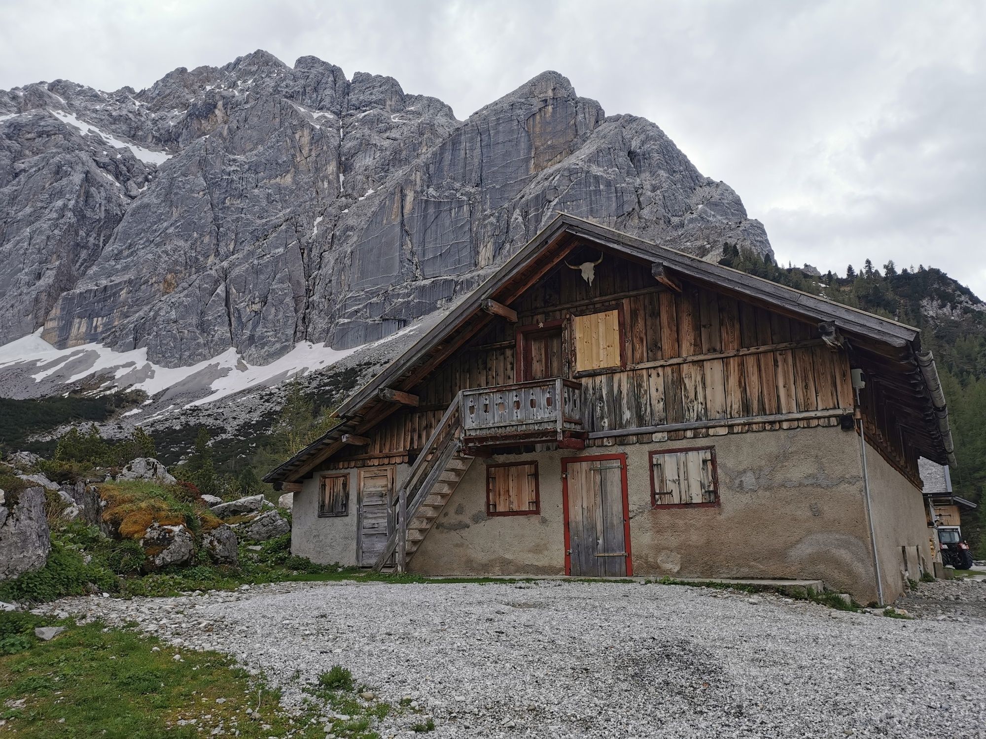
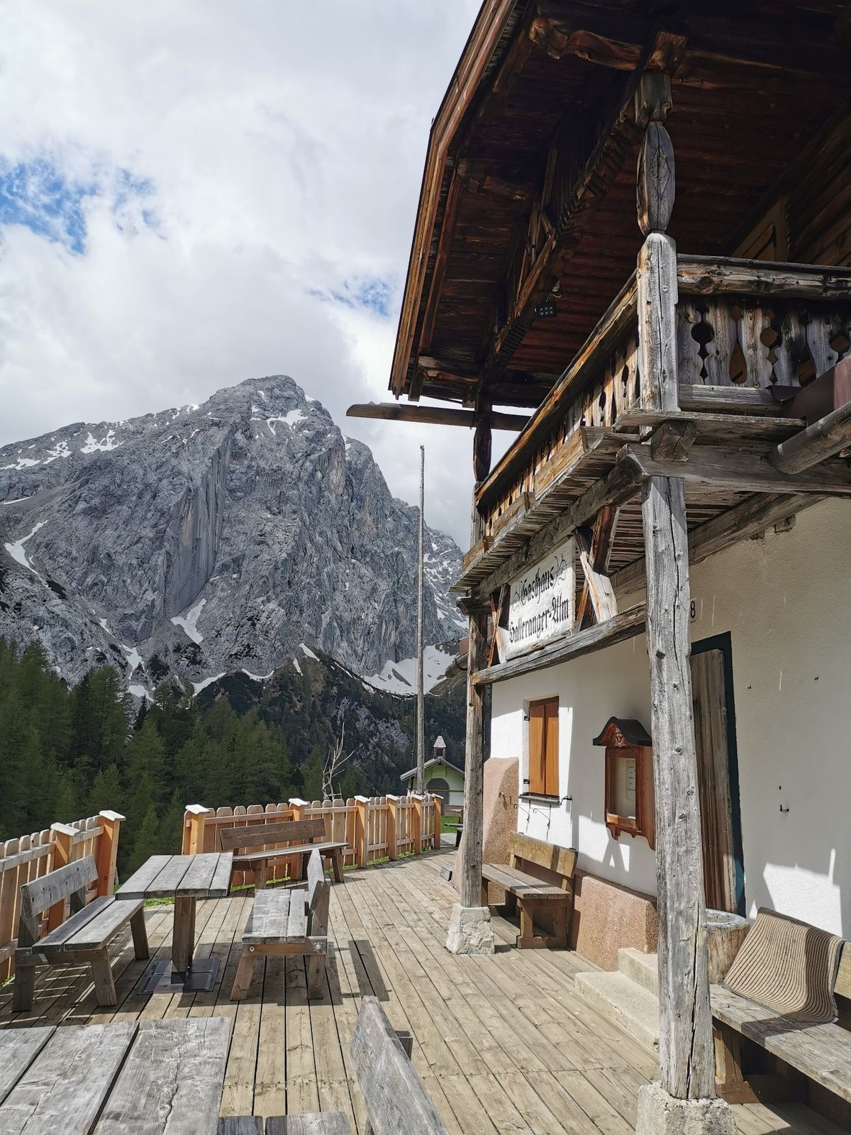
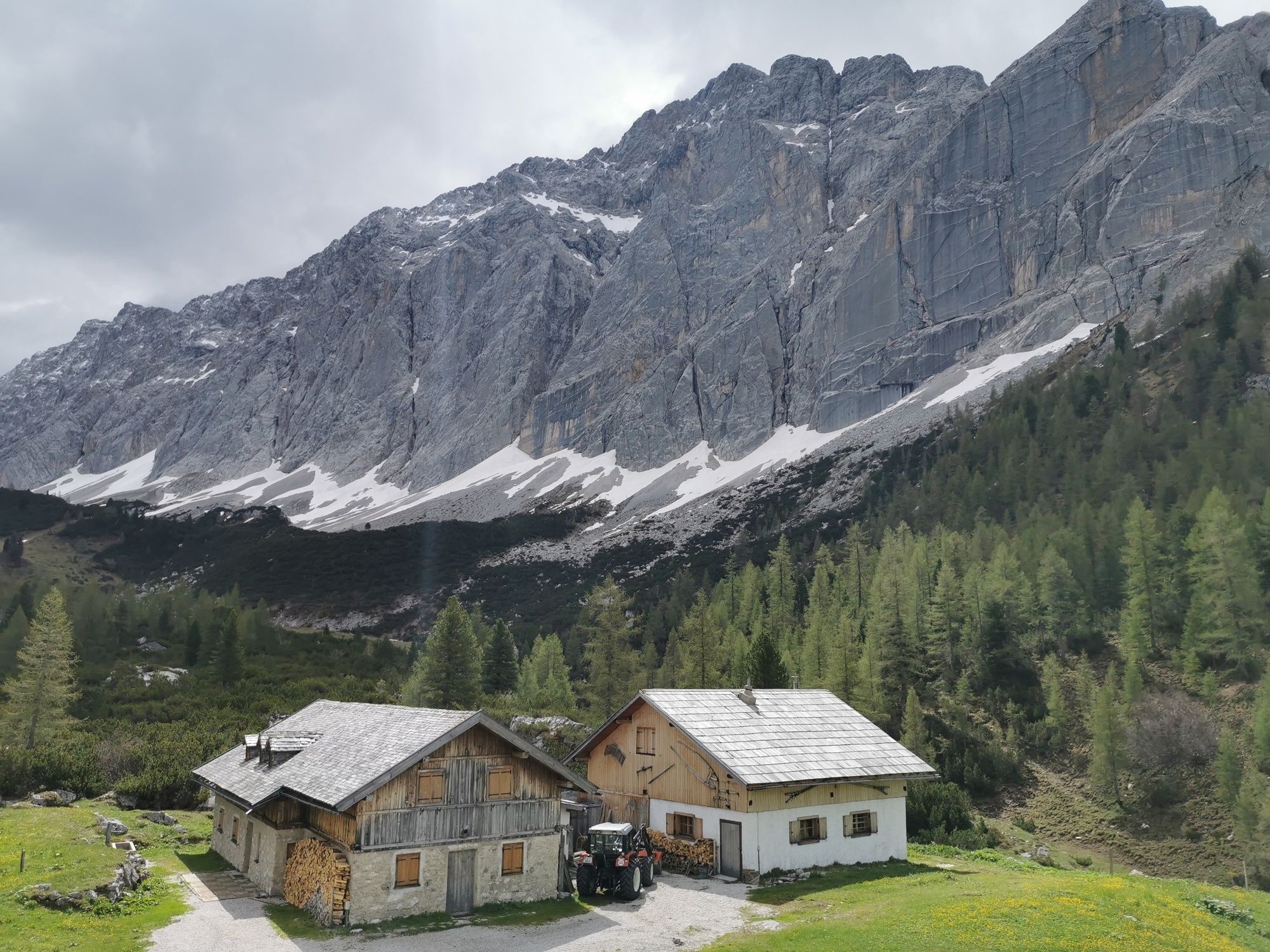
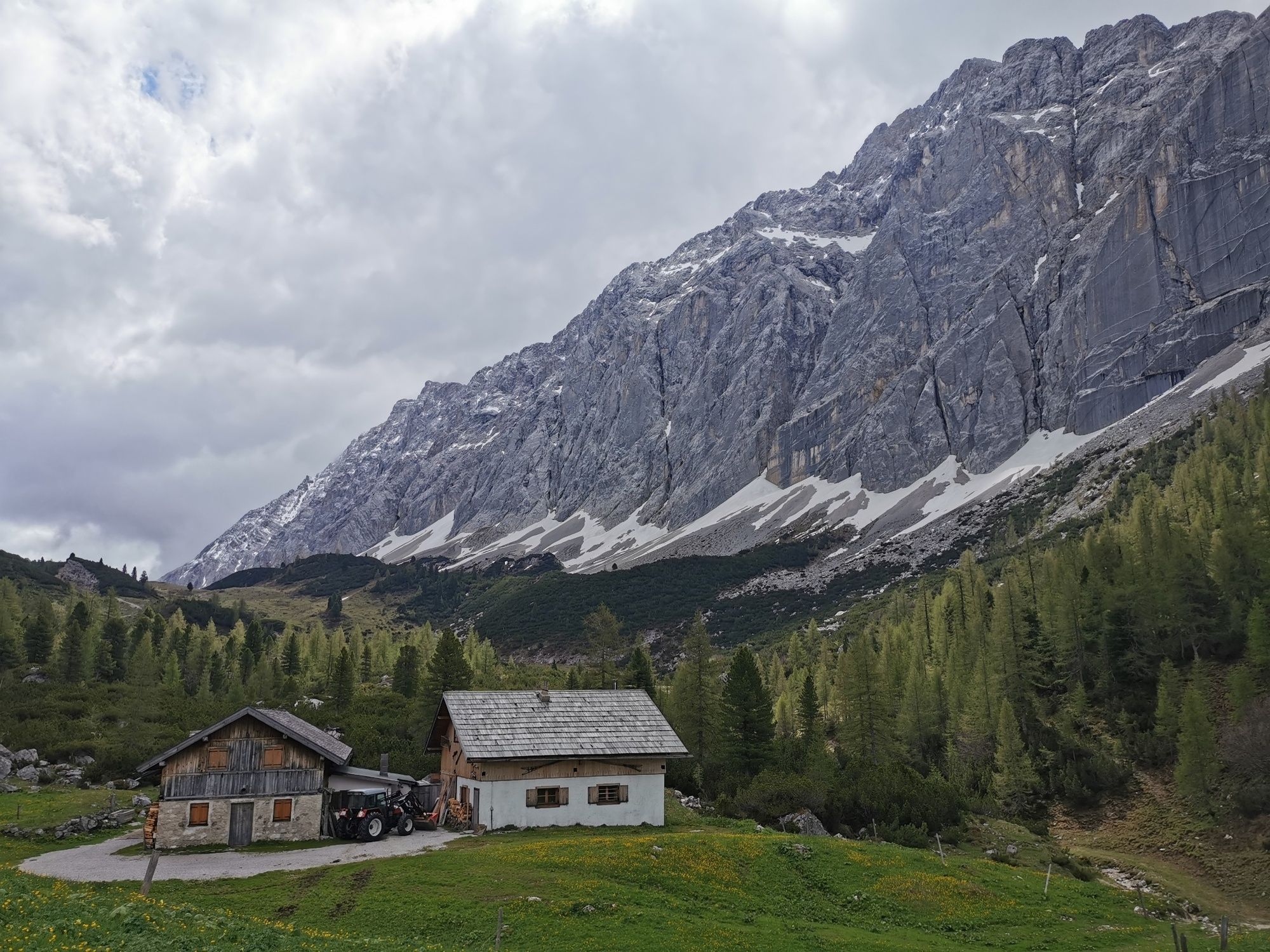
This tour leads through the rugged Halltal (valley) to the almost lovely pass of the Lafatscherjoch into the Hinterautal to the Hallerangerhaus and the Hallerangeralm.
- Difficulté
-
moyen
- Évaluation
-
- Parcours
-
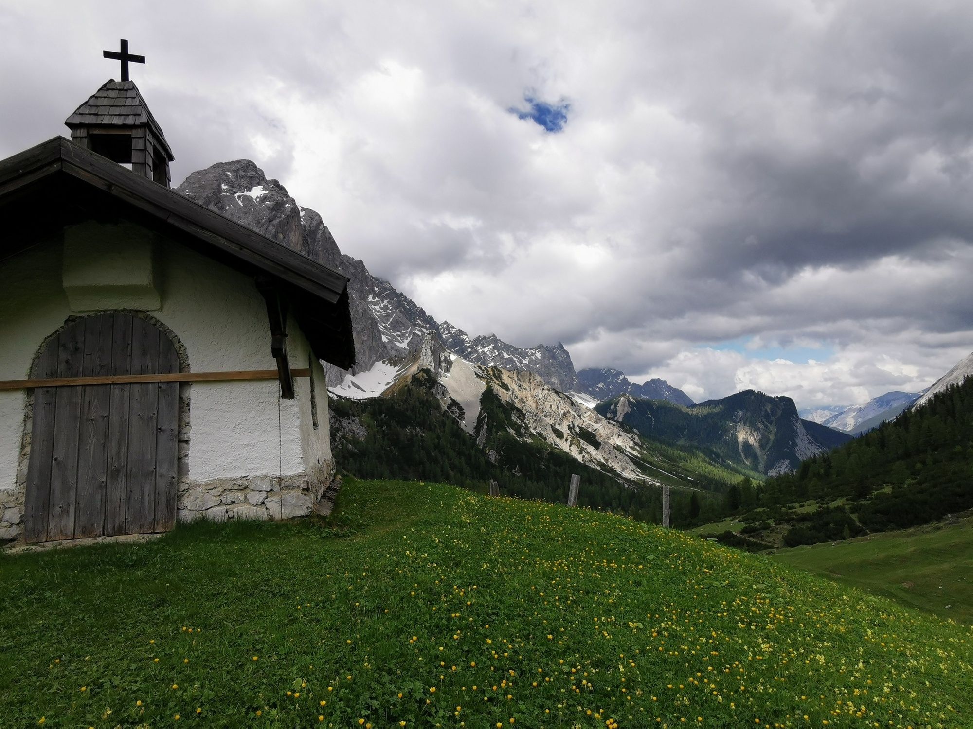
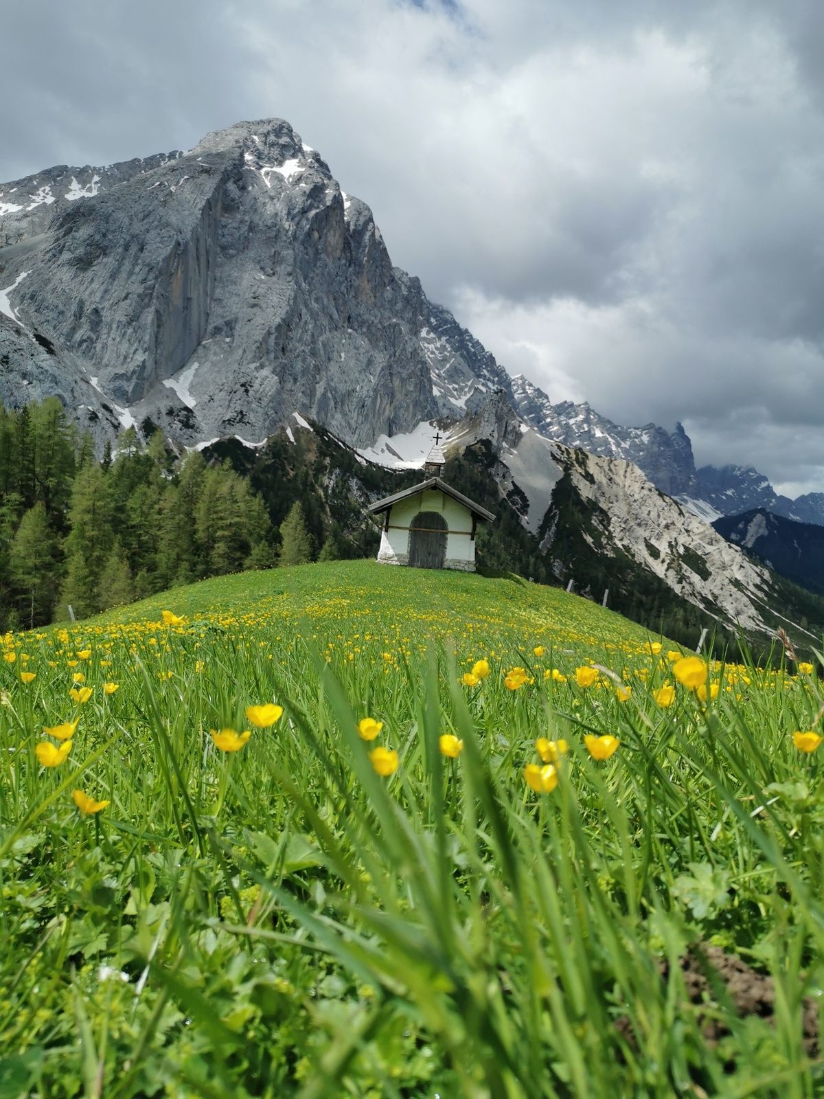
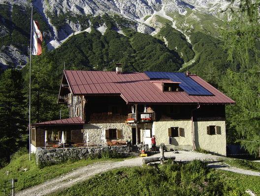
Bergerkapelle0,6 kmBettelwurfeck1,9 kmJakobibründlquelle2,0 kmKohlanger2,9 kmJausenstation St. Magdalena (1.287 m)3,2 kmErzherzogberg (1.424 m)4,5 kmRuppertikapelle5,1 kmHerrenhäuser (1.490 m)5,1 kmIssjöchl (1.668 m)6,4 kmKohlstatt (1.978 m)8,5 kmDurchschlag10,4 kmHallerangerhaus11,2 kmHauskapelle11,6 kmHallerangeralm11,6 km
- Meilleure saison
-
janv.févr.marsavrilmaijuinjuil.aoûtsept.oct.nov.déc.
- Hauteur maximale
- 2.076 m
- Point de mire
-
Scharnitz, Hallerangeralm
- Profil en hauteur
-


- Auteur
-
La randonnée Through the Halltal (valley) to the Halleranger est utilisé par outdooractive.com fourni par.
GPS Downloads


Informations générales
Point de rassemblement
Autres parcours dans les régions
-
Ferienregion Hall - Wattens
1478
-
Thaur
354


