© Wanderhotels - Hotel Lumberger Hof

© Wanderhotels - Hotel Lumberger Hof

© Wanderhotels - Hotel Lumberger Hof

© Wanderhotels - Hotel Lumberger Hof

- Brève description
-
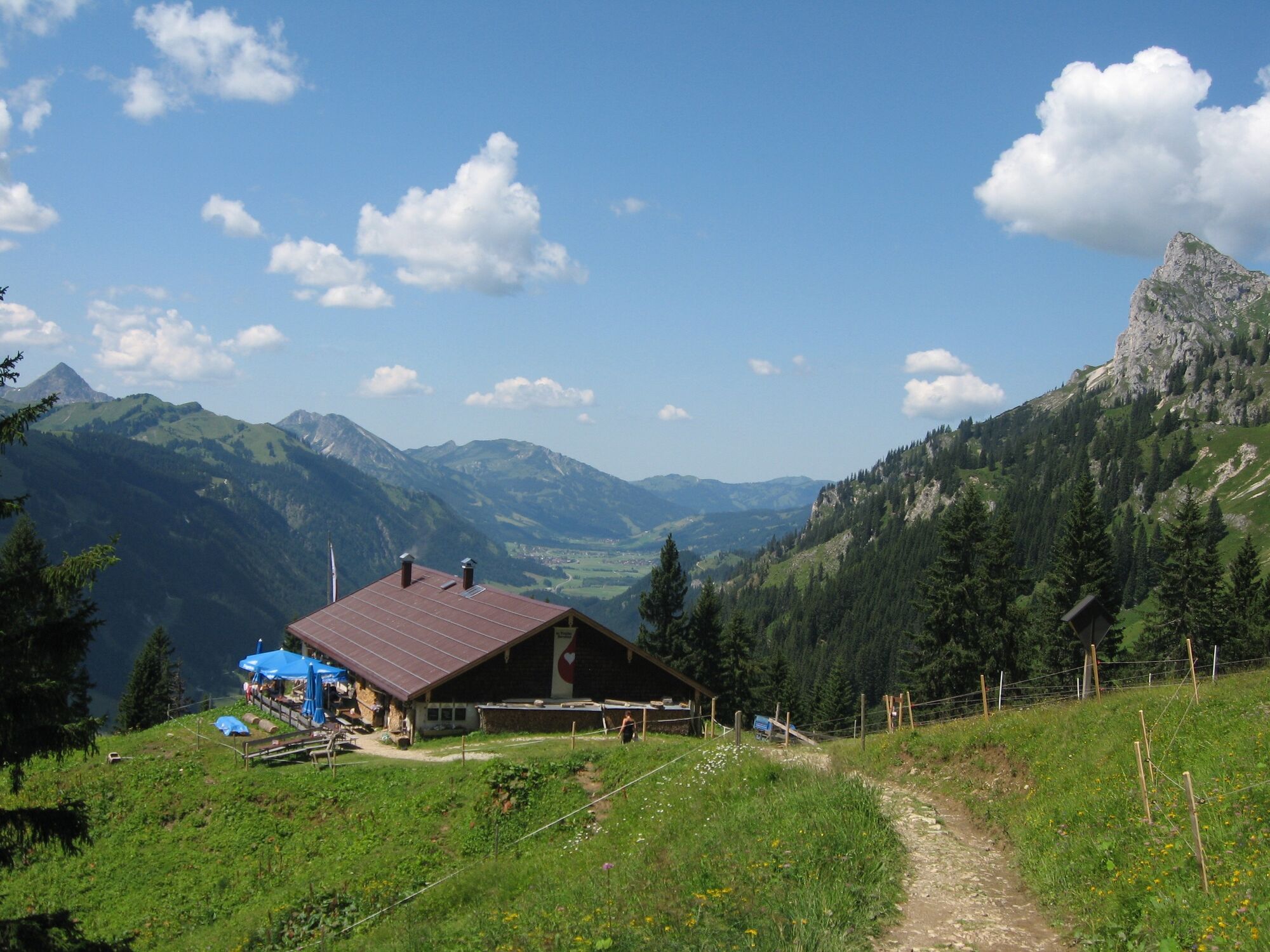
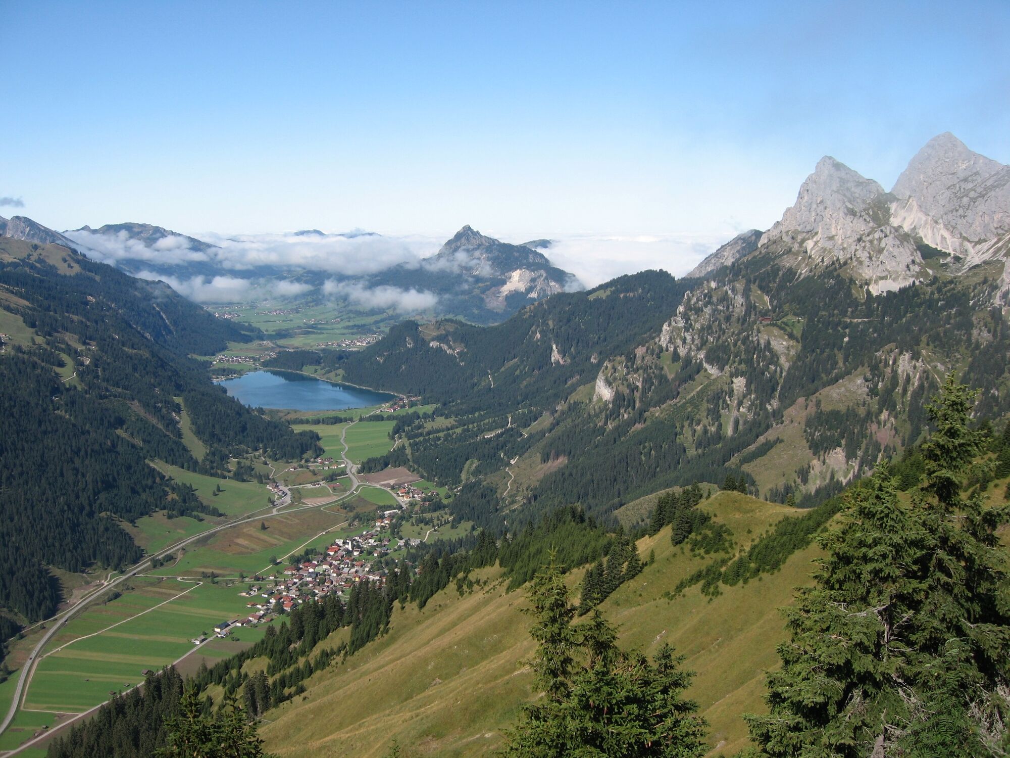
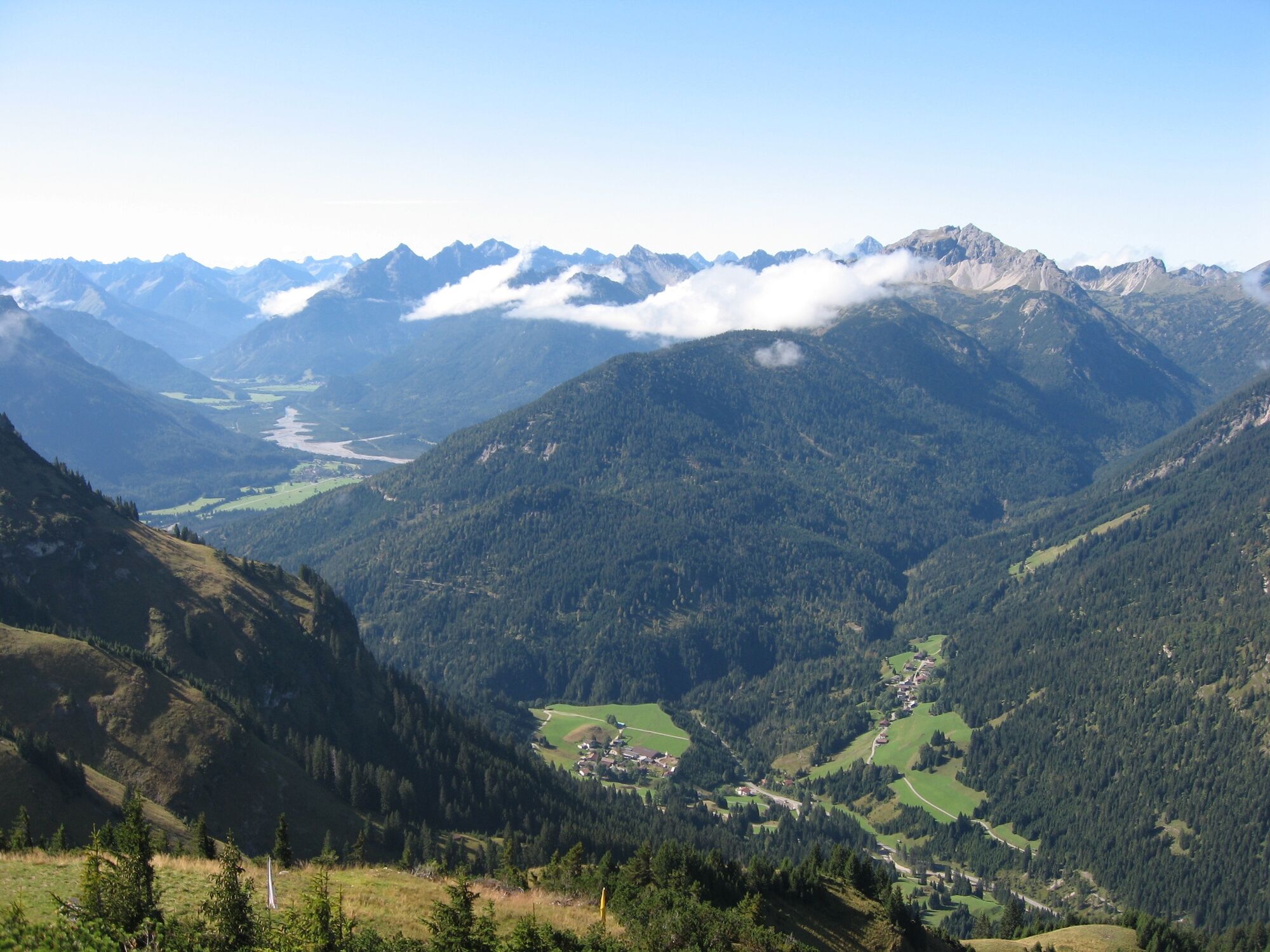
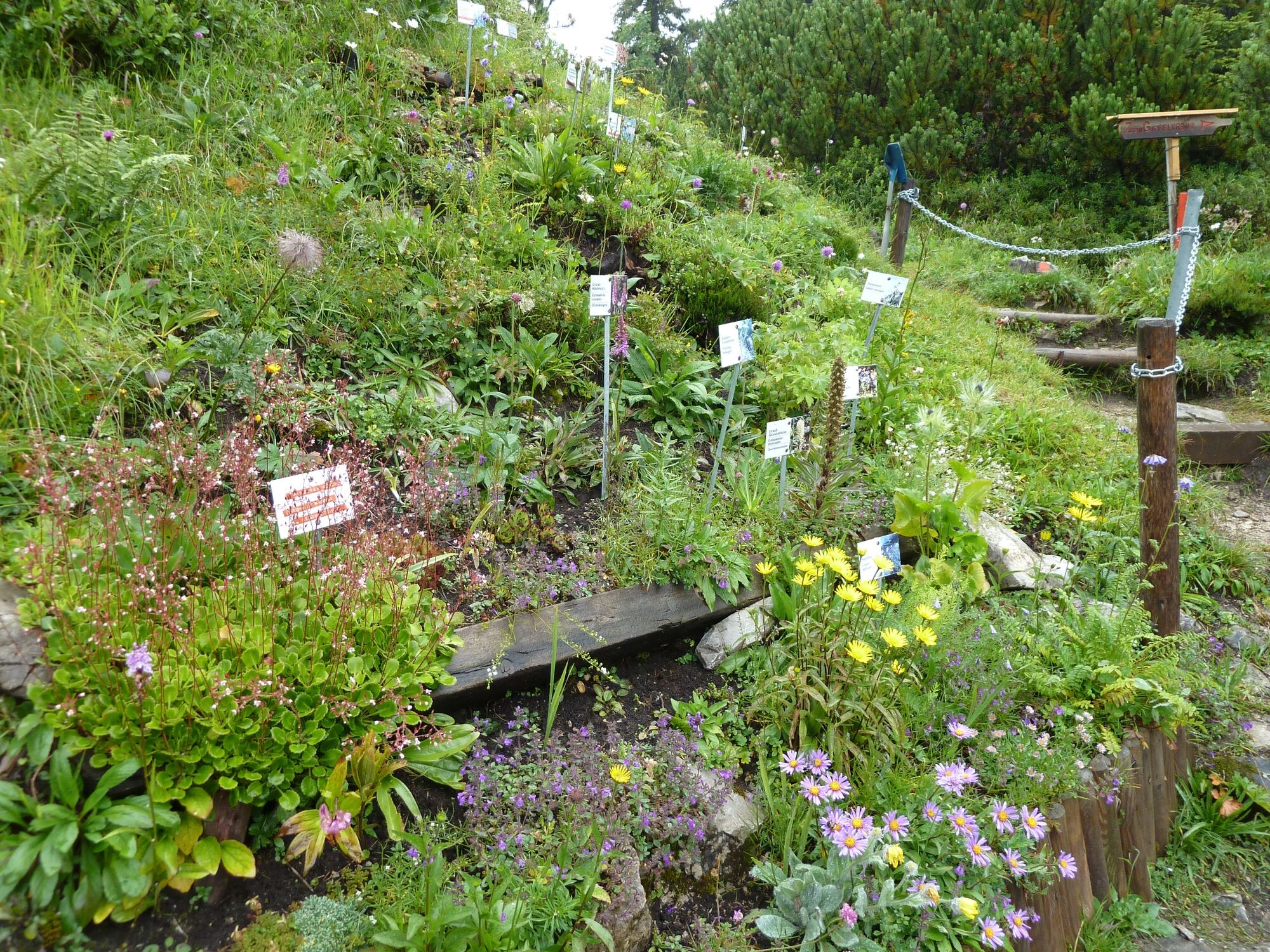
Beautiful walk – visit of the flower garden. Great view from the peak "Hahenkamm. Brotzeit in the alpine hut "Schneetalalm”.
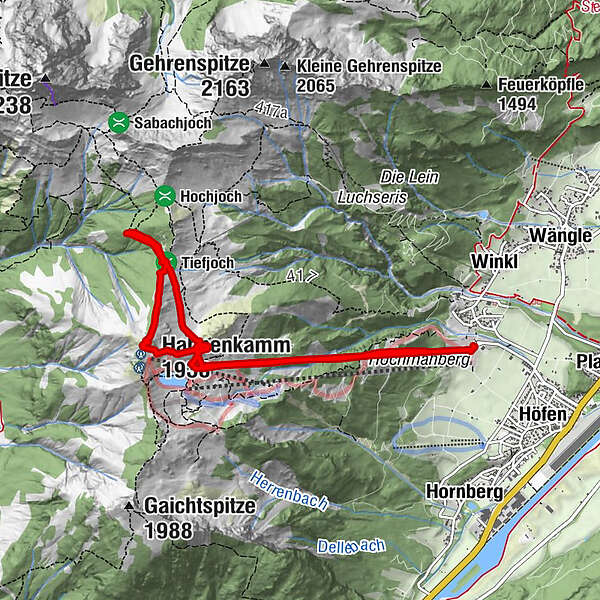
- Parcours
-
Bergrestaurant Hahnenkamm2,5 kmHahnenkamm (1.938 m)3,8 kmSchneetal Alm5,0 kmBergrestaurant Hahnenkamm6,5 km
- Hauteur maximale
- 1.906 m
- Profil en hauteur
-

-

-
AuteurLa randonnée Hahnenkamm - Schneetalalm 1720 m est utilisé par outdooractive.com fourni par.
GPS Downloads


Autres parcours dans les régions
-
Allgäu
2362
-
Naturparkregion Reutte
1437
-
Höfen
578