© Free image for editorial usage only: Photo by Andreas Langreiter for Global Newsroom - Andreas Langreiter

Dates des itinéraires
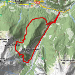
12,1km
964
- 1.362m
541hm
491hm
04:00h

- Brève description
-
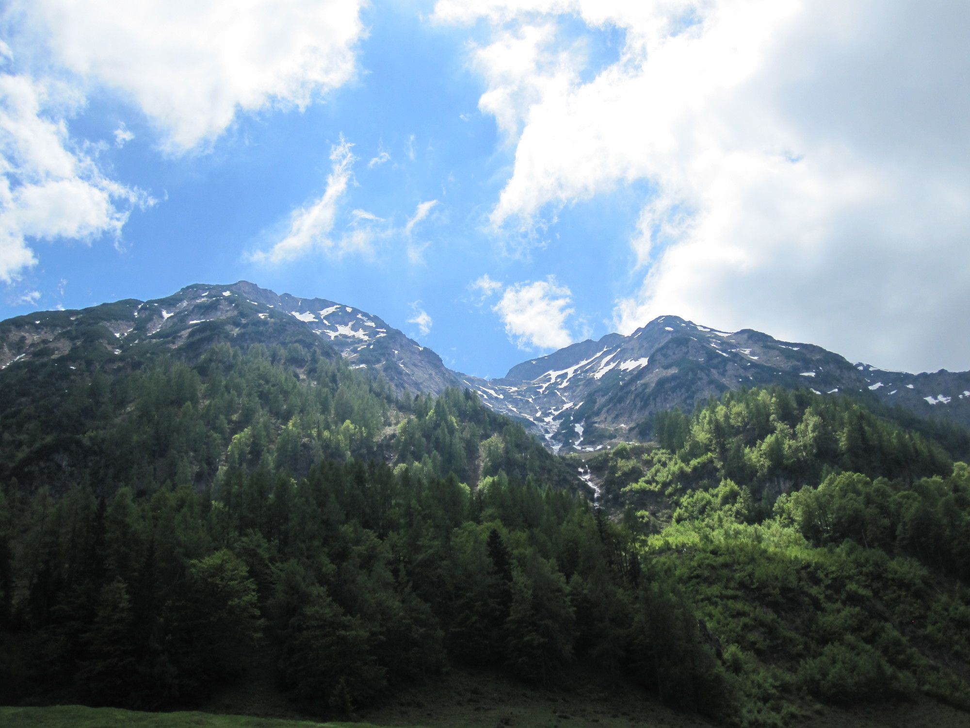
eine wunderschöne 4 Stundenwanderung in das Salzburger Land
- Difficulté
-
moyen
- Évaluation
-
- Point de départ
-
Dorfzentrum Hochfilzen
- Parcours
-
Hochfilzen0,1 kmHochfilzen0,3 kmPizzeria Restaurant Hochfilzner Hof0,3 kmTödlingalm8,1 kmKapelle8,1 km
- Hauteur maximale
- 1.362 m
- Cartes
-
in allen Tourismusverbänden im Pillerseetal

- Informations par téléphone
-
+43 (0)5354 / 56304
- Link
- https://maps.pillerseetal.at/#resourceDetail,63...
GPS Downloads


Nature du chemin
Asphalte
Gravier
Pelouse
Forêt
Rocher
Exposé
Autres parcours dans les régions
-
Saalbach Hinterglemm
1581
-
Hochfilzen
410