
Dates des itinéraires
5,18km
2.153
- 2.320m
369hm
369hm
04:00h
- Brève description
-
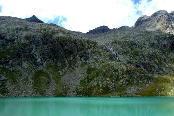
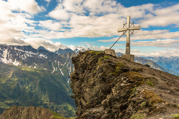
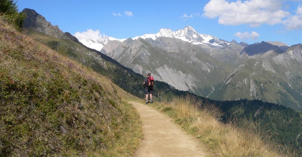
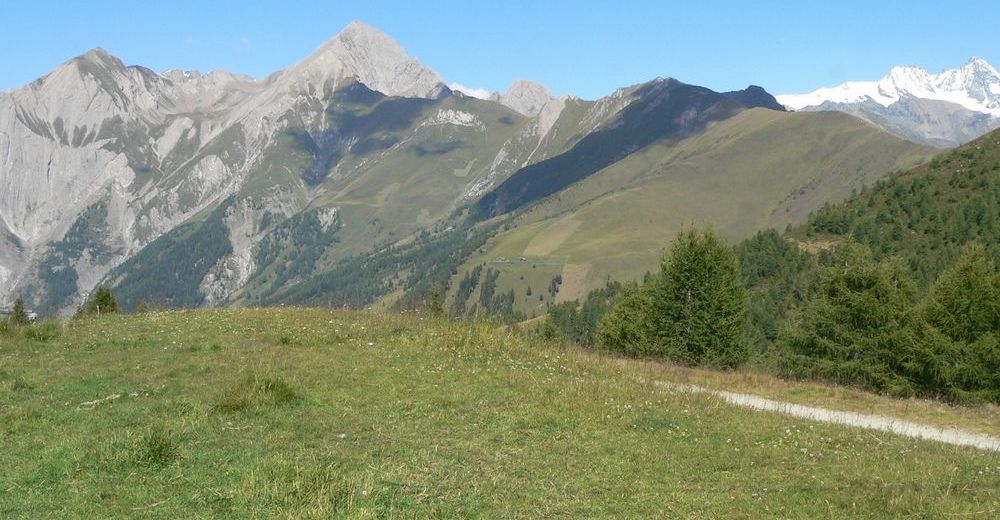
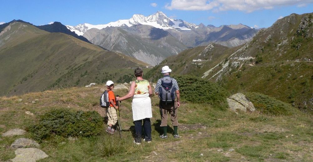
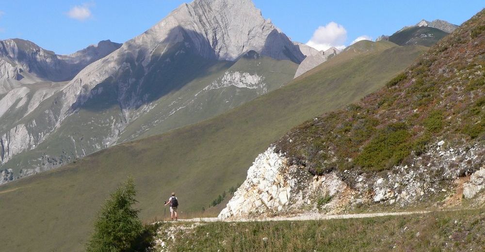
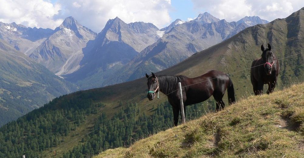
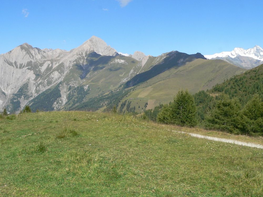
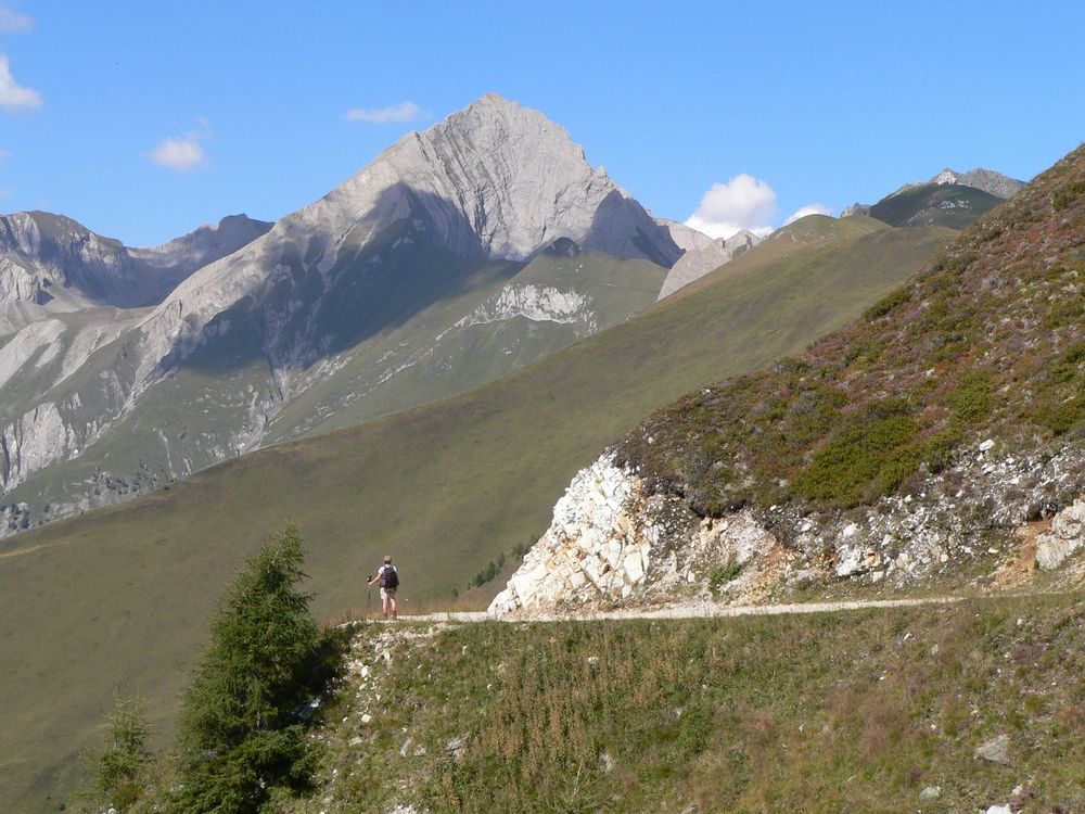
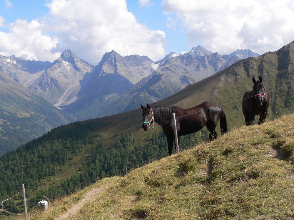
Leichte Wanderung im stetigen Bergauf und Bergab mit herrlichen Blick auf über 60 Dreitausender der Glockner-, Schober-, Granatspitz-, Venediger- und Lasörlinggruppe.
- Difficulté
-
facile
- Évaluation
-
- Point de départ
-
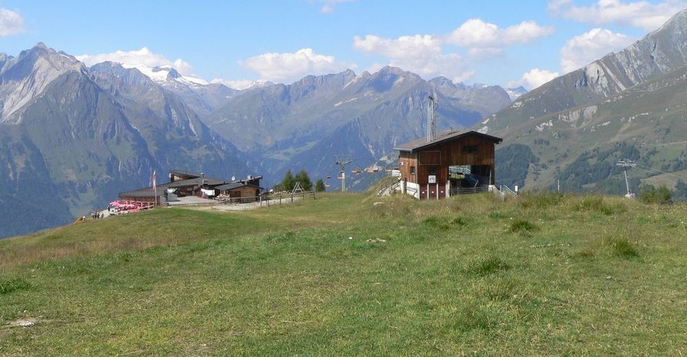
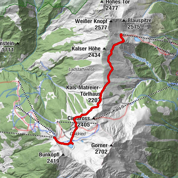
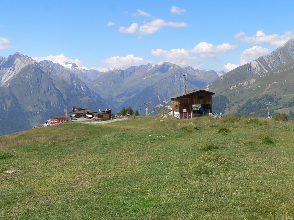
Bergstation der Matreier Goldried-Bergbahnen 2190 m
- Parcours
-
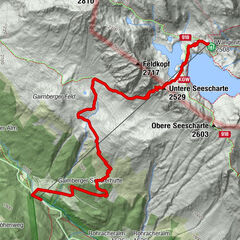
Kals-Matreier-Törl-Haus (2.207 m)3,0 kmBlauspitz5,1 km
- Meilleure saison
-
janv.févr.marsavrilmaijuinjuil.aoûtsept.oct.nov.déc.
- Hauteur maximale
- 2.320 m
- Repos/Rassembler
-
Kals-Matreier-Törlhaus 2207m
- Cartes
-
AV Karte Nr.39, Granatspitzgruppe, OeKarte Nr.152 Matrei und 153


- Source
- Sepp Gailhofer
GPS Downloads


Nature du chemin
Asphalte
Gravier
Pelouse
Forêt
Rocher
Exposé
Autres parcours dans les régions